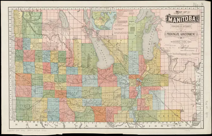
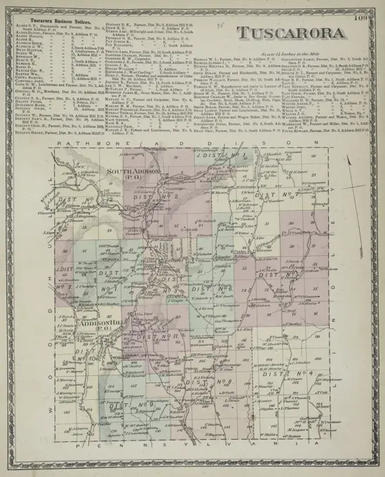
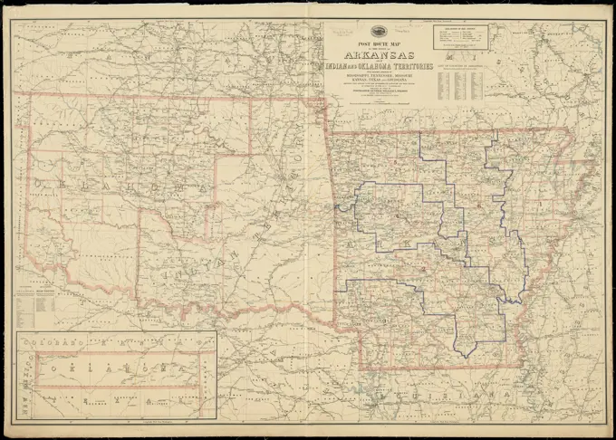
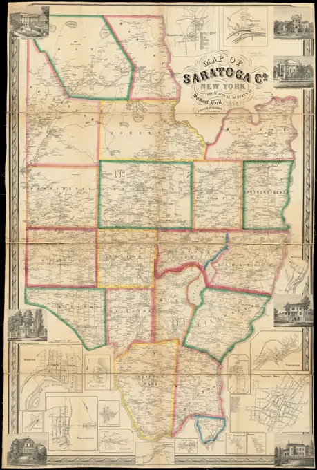
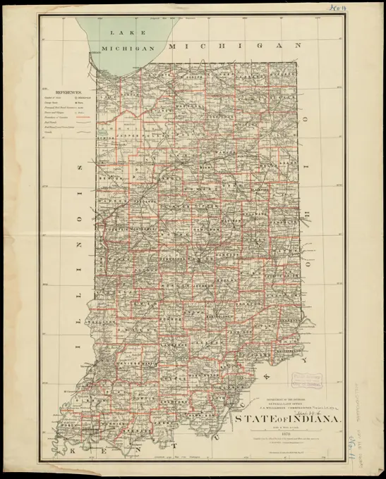
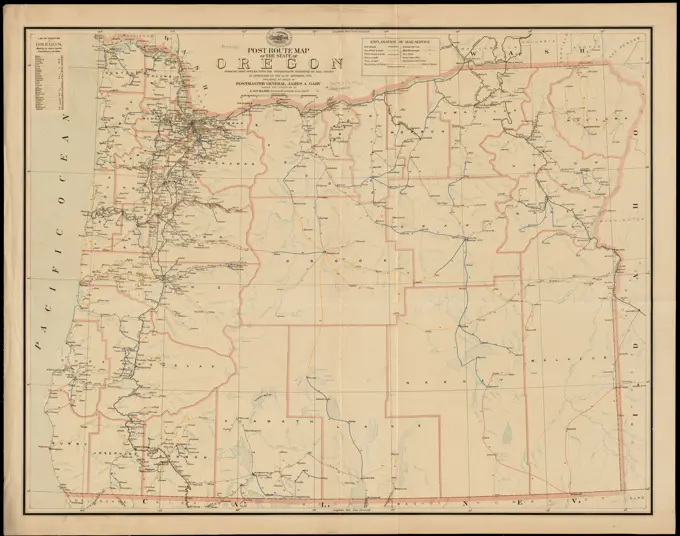
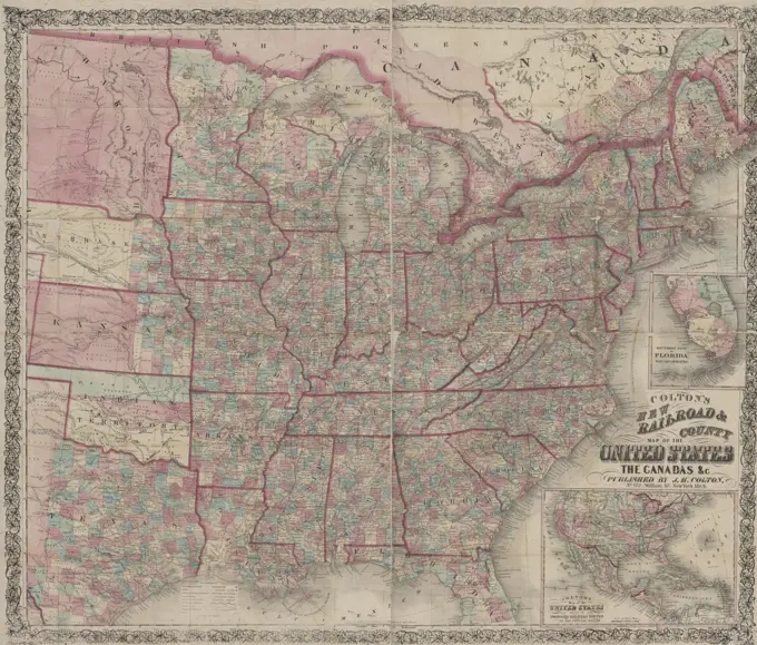
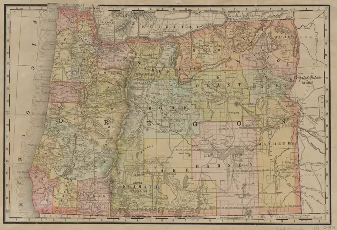
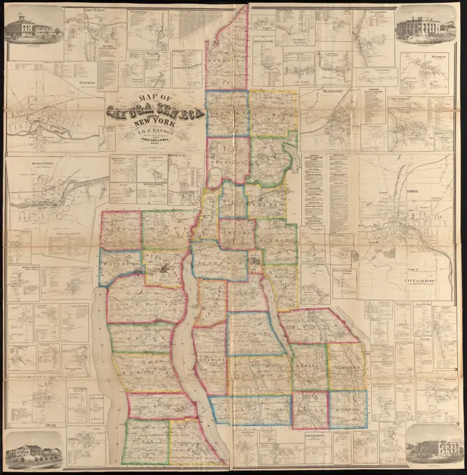
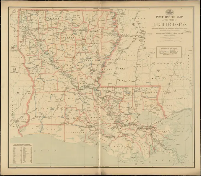
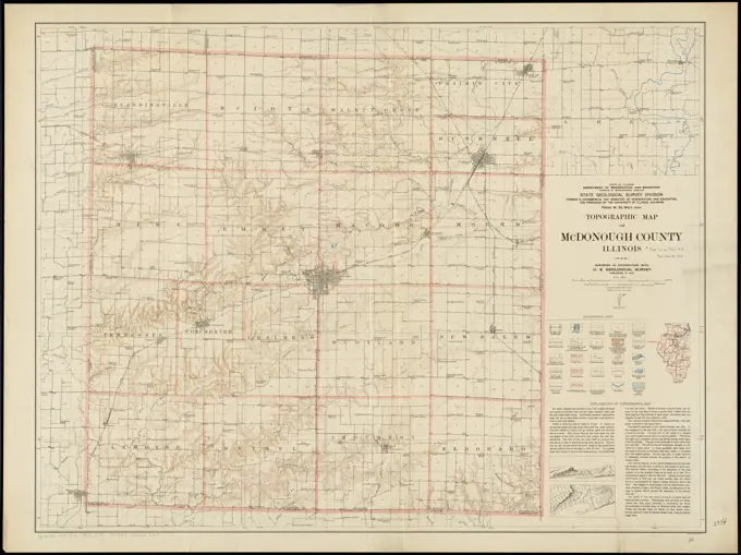
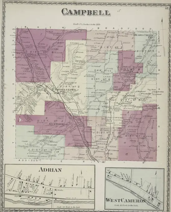
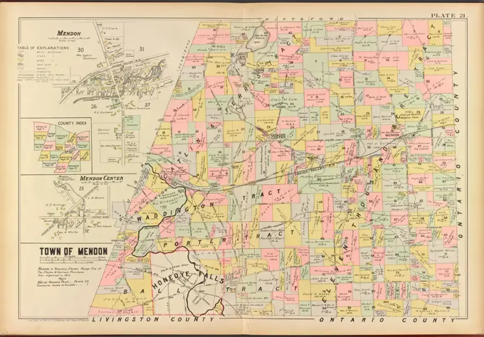
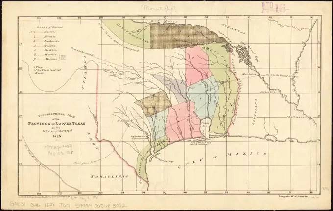
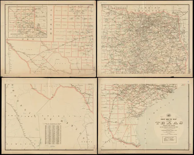
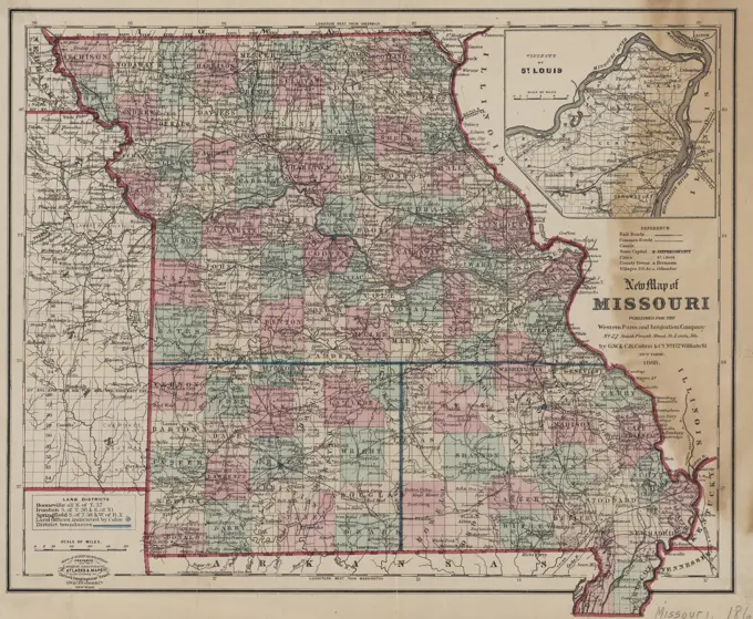
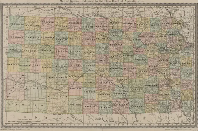
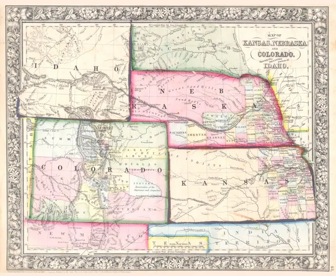
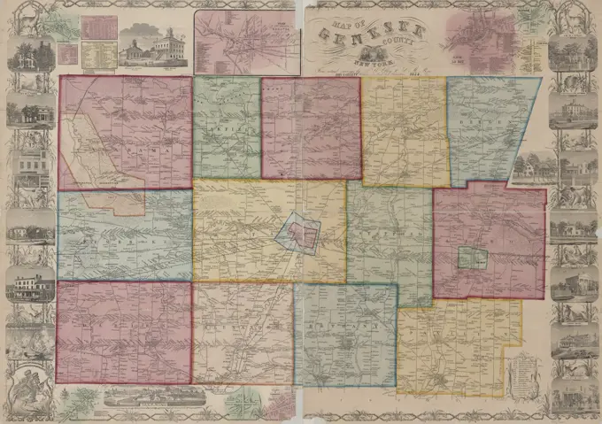
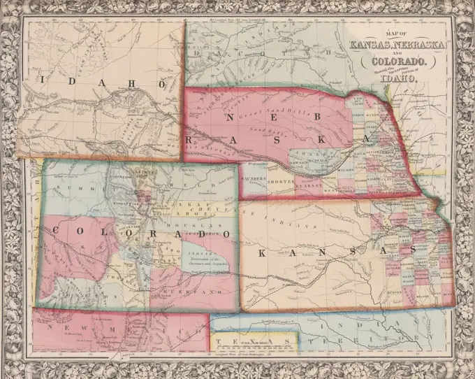
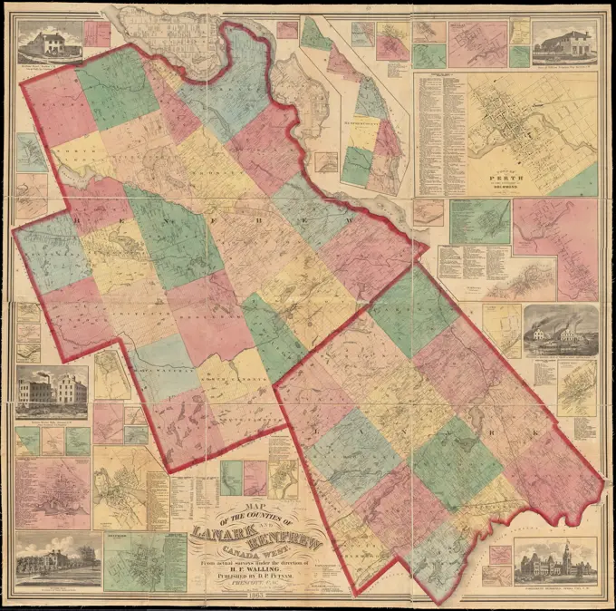
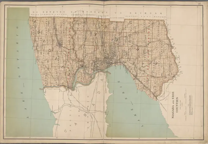
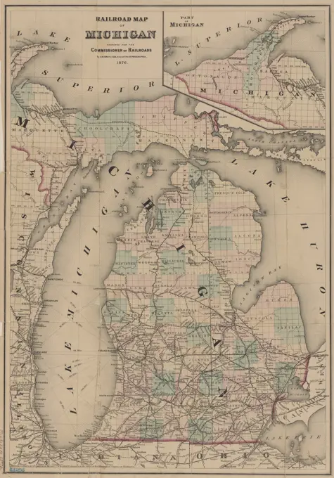
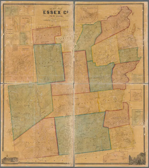
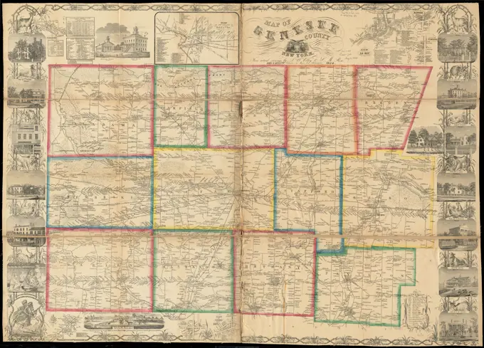
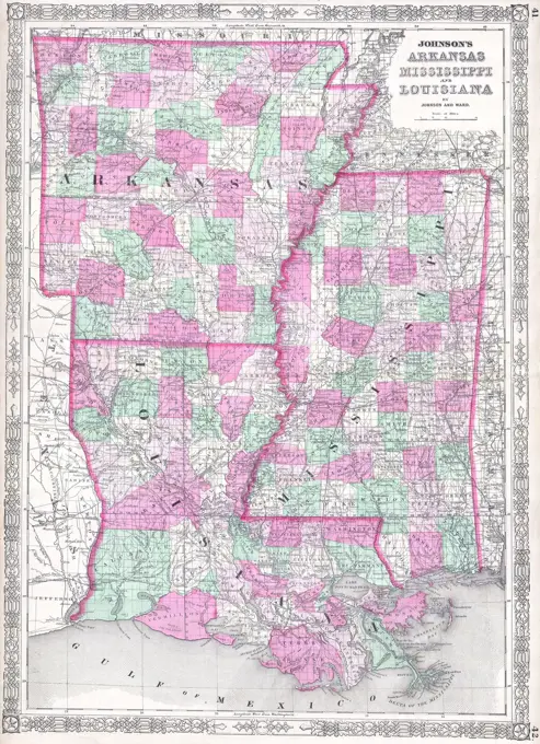
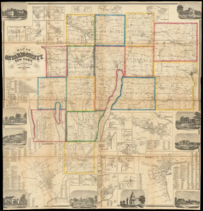
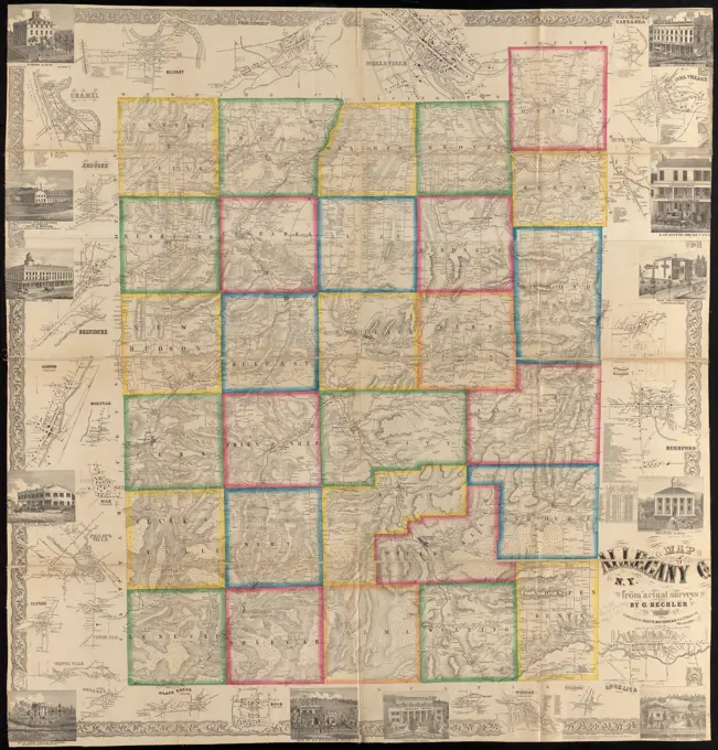
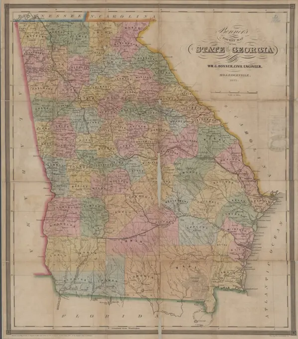
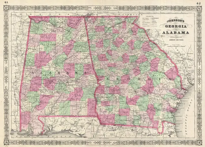
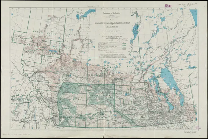
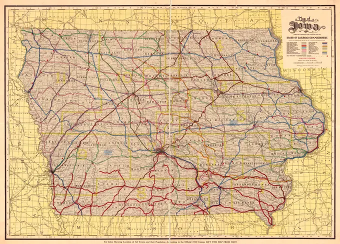
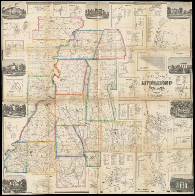
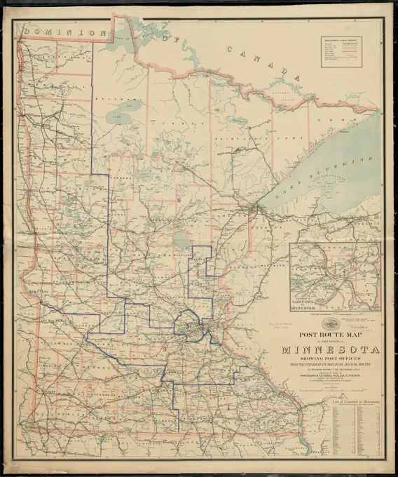
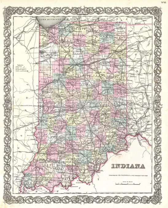
Topographical and Postal Maps

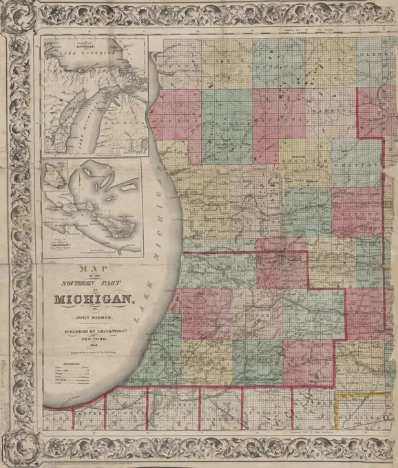
Collection of detailed maps showcasing postal routes, topographical features, and township divisions across regions in the United States and Canada.

Map of the southern part of Michigan, 1856, J.H. Colton & Co. Issued in New York by J.H. Colton and Co. The map features the Lower Peninsula of Michigan, including Mackinac Island and the Straits of Mackinac. It is hand-colored and measures 58 x 83 cm. The accession number is stamped in the lower left corner 60969. The NYPL Map Division copy is imperfect, with a portion of the right side of the map lacking