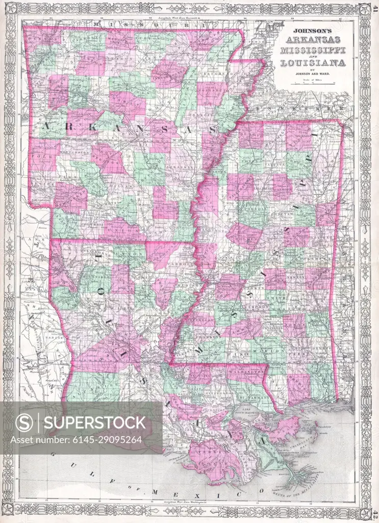
1864 Johnson Map of Louisiana, Mississippi and Arkansas
SuperStock offers millions of photos, videos, and stock assets to creatives around the world. This image of Antique 1864 Map of Arkansas, Mississippi, and Louisiana: A Detailed Historical Cartography Insight by Piemags/PL Photography Limited is available for licensing today.
DETAILS
Image Number: 6145-29095264Royalty FreeCredit Line:Piemags/PL Photography Limited/SuperStockCollection: