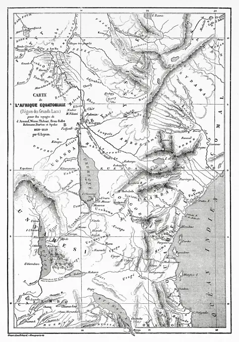
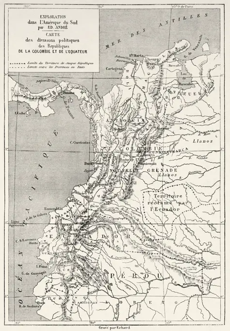
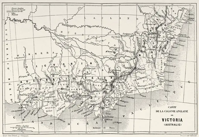
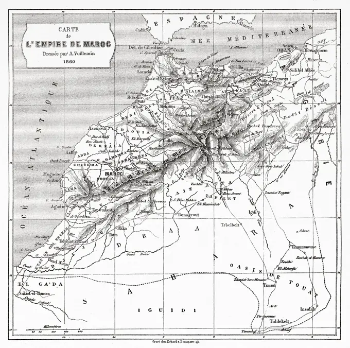
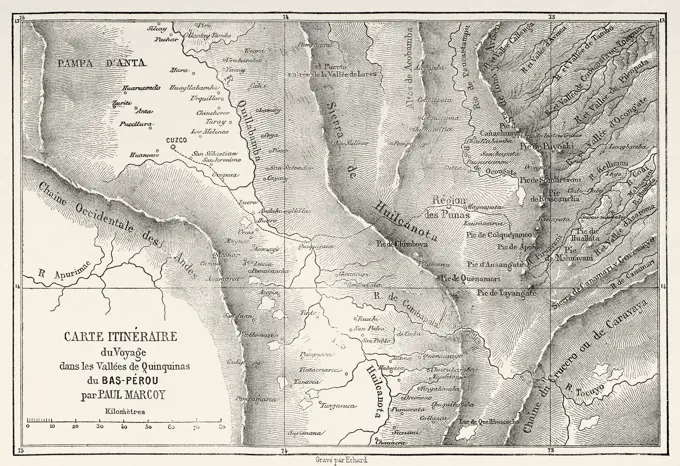
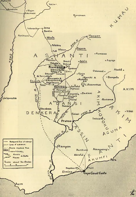
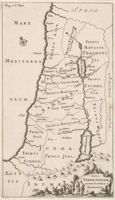
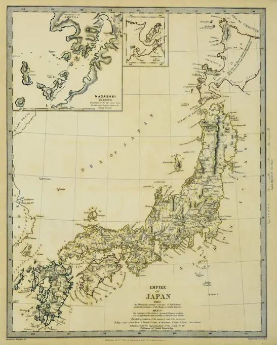
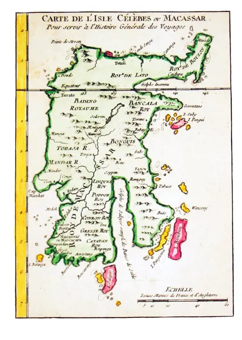
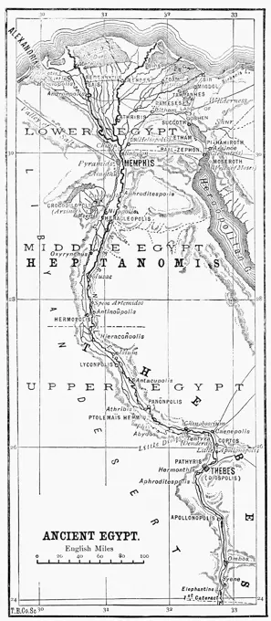
19th Century Exploration MapsMaps depicting historical explorations in Africa, South America, and Australia, showcasing regions with political details from the 1800s. Map of the Great Lakes Region of Equatorial Africa. Old 19th century engraving from Le Tour du Monde 1860 206 assets in this story6176-660834656176-660842886176-660901256176-669060271899-299803864443-99751788-217996606188-555521994443-732573976176-660826646145-458181001525-278096056145-523591506176-660780861848-493214626188-555519196176-660847216176-660809294409-172679526176-660880236176-660900886145-290949386145-523591446145-523591364443-218131296145-301716776145-459743856176-660834646176-670568356176-660787406188-555520836176-660833406188-555518936145-442149451525-246570626176-660919256188-555527931848-199955226176-670571896176-660917746176-660815171525-246870086176-660775196145-290960586176-660845306176-670774176145-301386601848-502253406176-670517211848-501575841899-656602476176-660901731848-612845514443-731646546145-290953516176-660834426145-290961906176-660868666145-290950106176-669167266145-513873616176-670570146176-660805706145-523592104220-204001556176-660847431848-539235396145-595985404409-210212346145-290967526145-456519604220-219211586145-29095894160-26566176-670436801899-187878301889-60415061995-870751899-656597711525-278182226243-724523736176-660894131848-503958716176-669097941899-187883216176-660830641525-280161326145-290958876145-523600701525-280300876176-660883436145-489720116145-595635761848-504353661889-604150671525-279220531889-604186111848-504356636145-505443621525-27768318 PREVIOUS of 3 NEXT