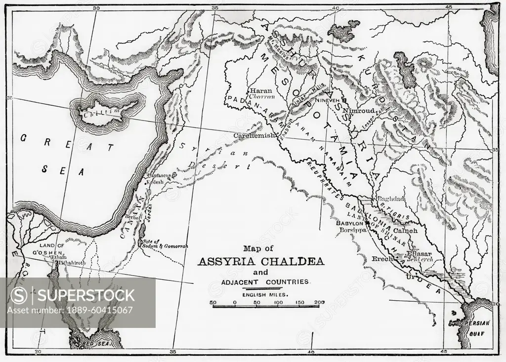
Map of Assyria Chaldea and adjacent countries. From Cassell's Universal History, published 1888; Illustration
SuperStock offers millions of photos, videos, and stock assets to creatives around the world. This image of Map of Assyria Chaldea and adjacent countries. From Cassell's Universal History, published 1888; Illustration by Ken Welsh/Design Pics is available for licensing today.
Looking for a license?
Click here, and we'll help you find it! Questions? Just ask!
Click here, and we'll help you find it! Questions? Just ask!
DETAILS
Image Number: 1889-60415067Rights ManagedCredit Line:Ken Welsh/Design Pics/SuperStockCollection:Design Pics Contributor:Ken Welsh Model Release:NoProperty Release:NoResolution:5542×3968