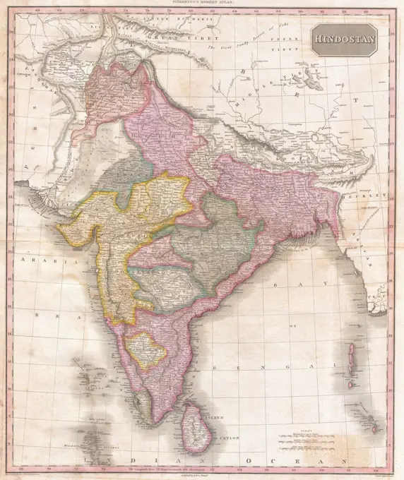
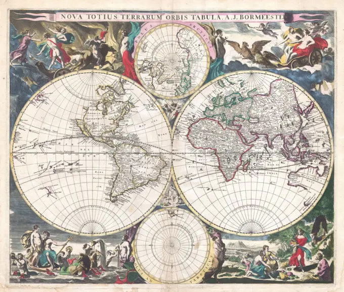
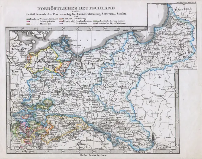
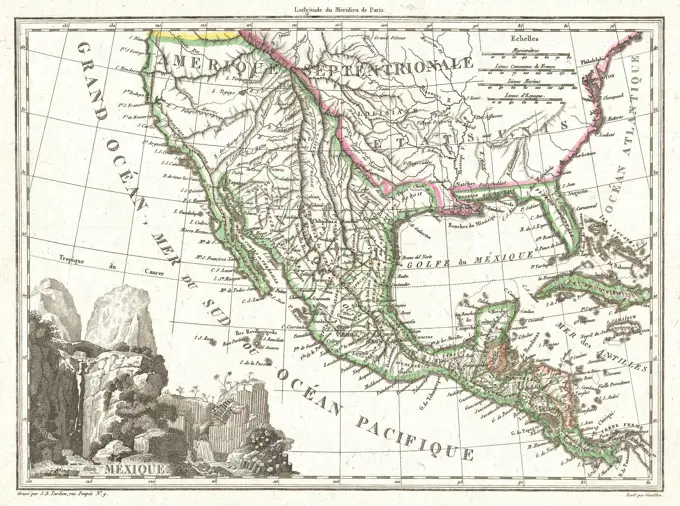
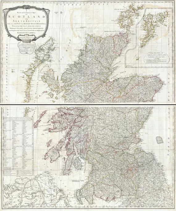
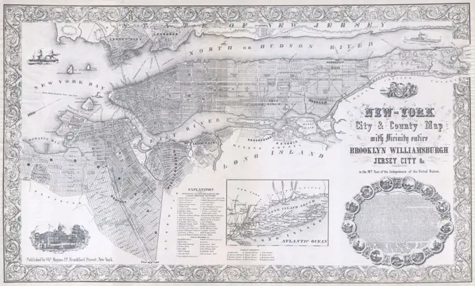
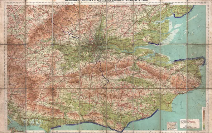
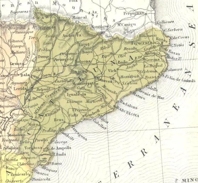
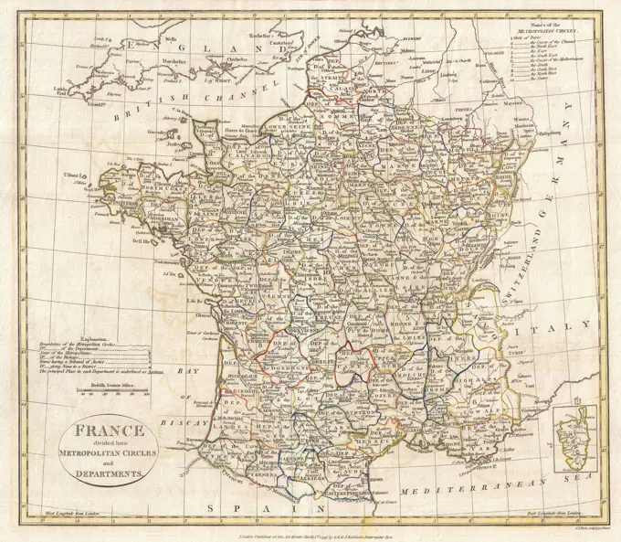
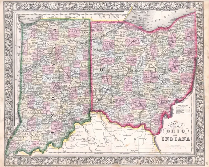
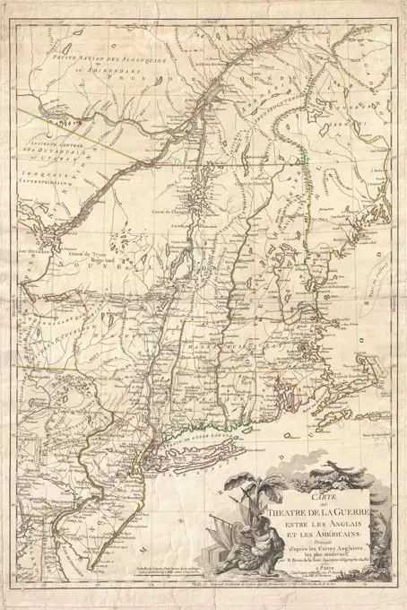
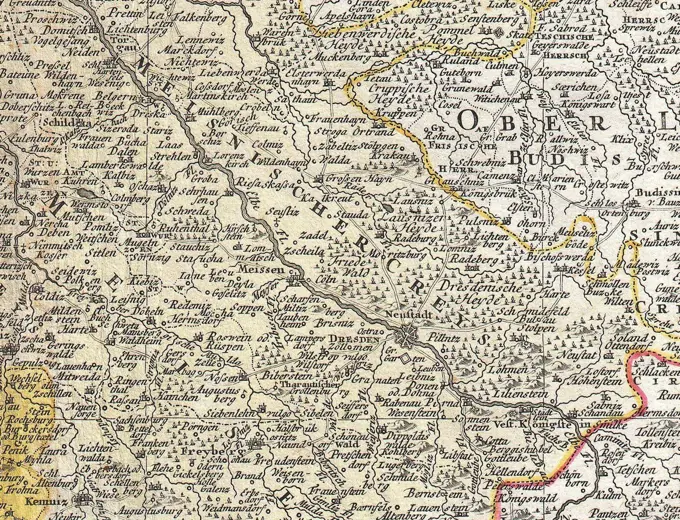
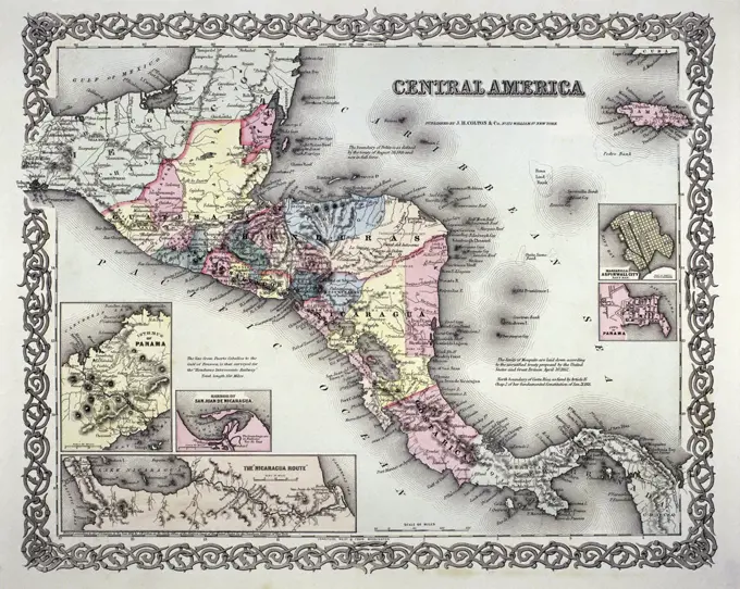
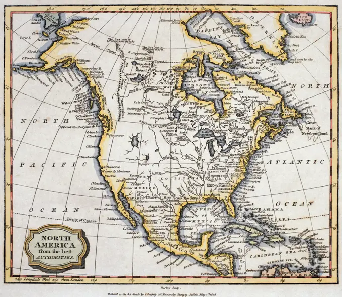
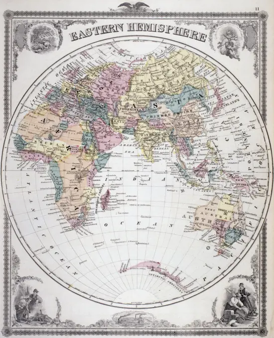
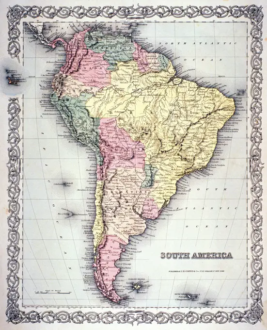
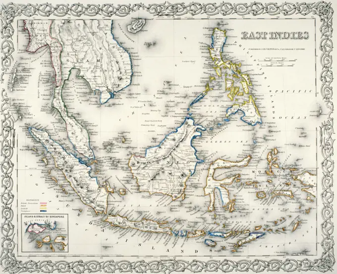
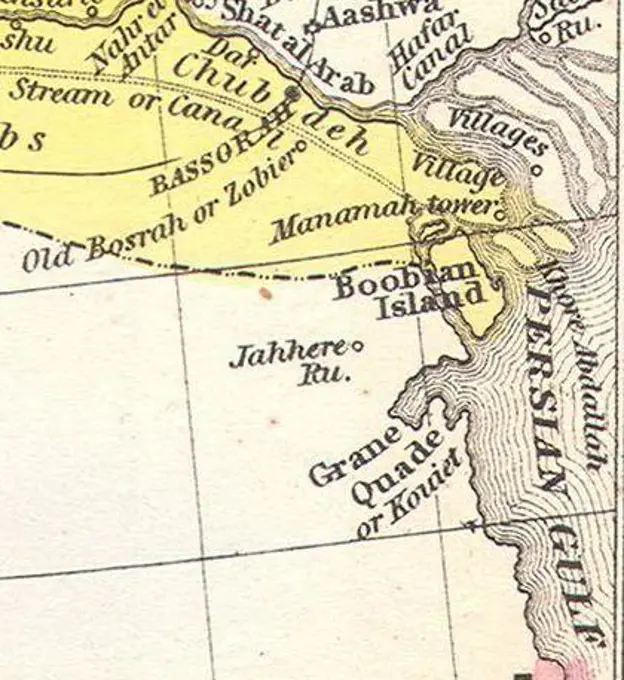
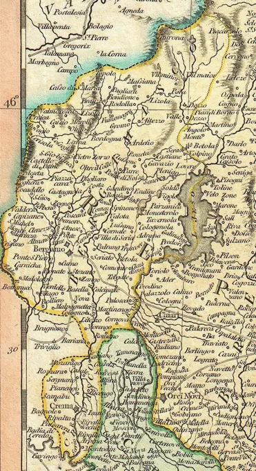
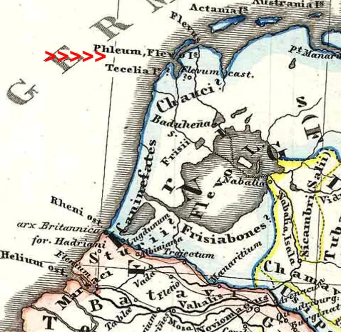
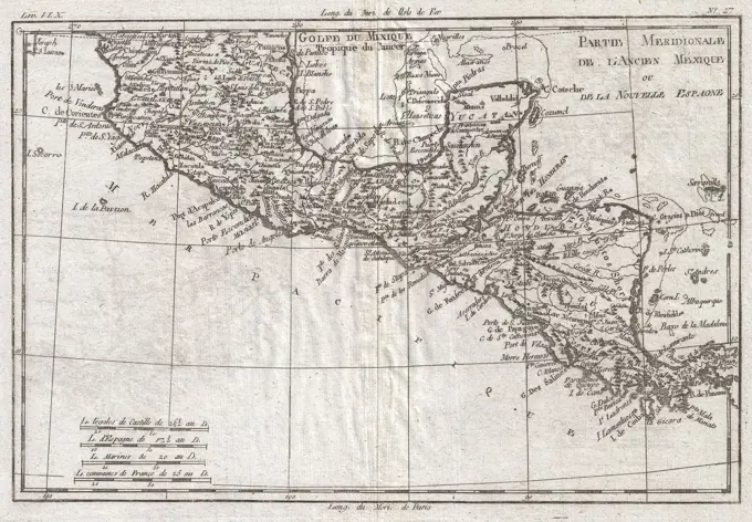
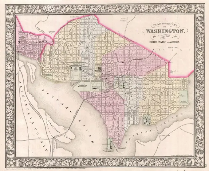
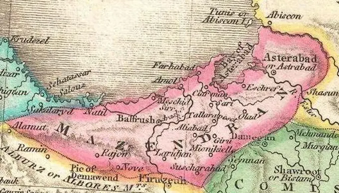
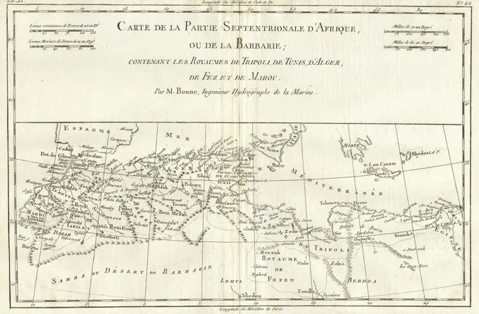
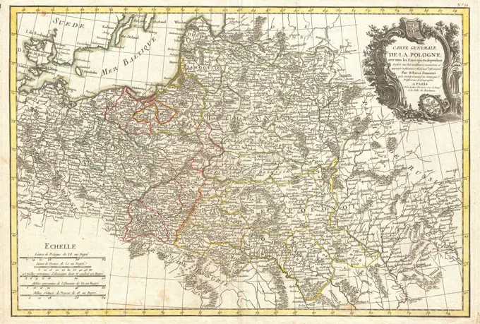
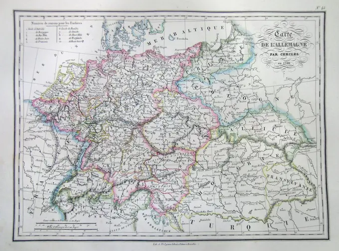
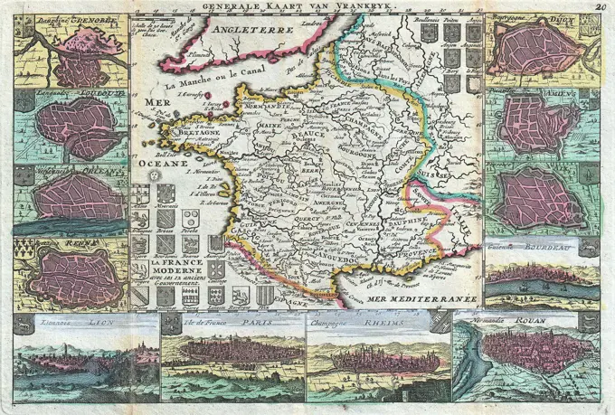
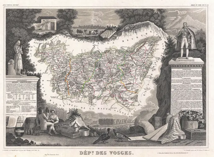
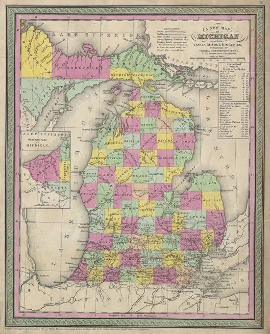
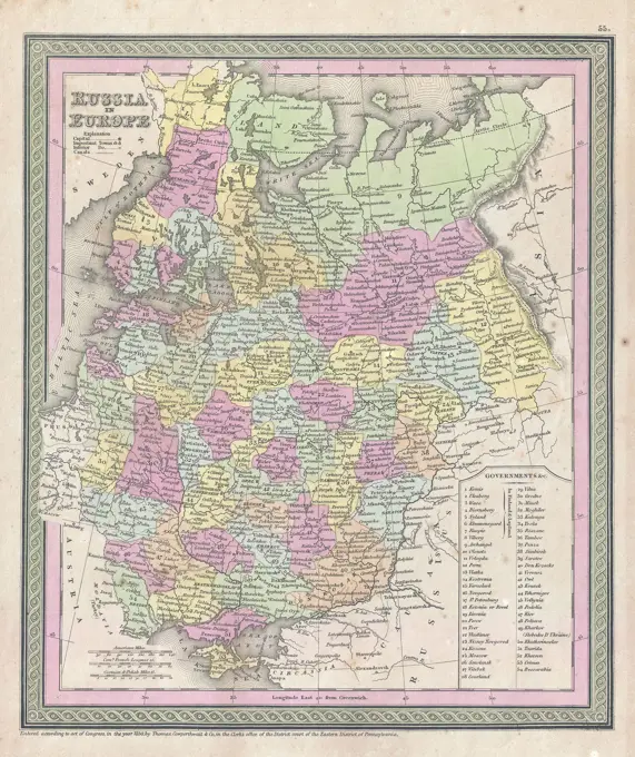
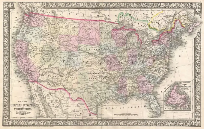
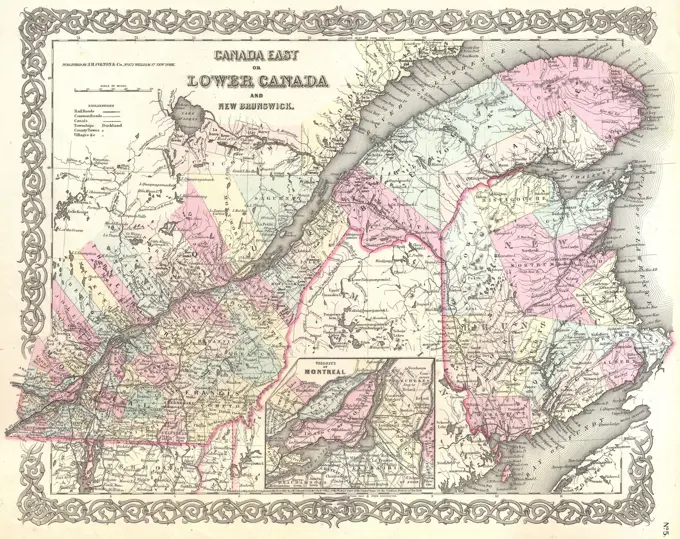
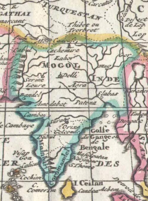
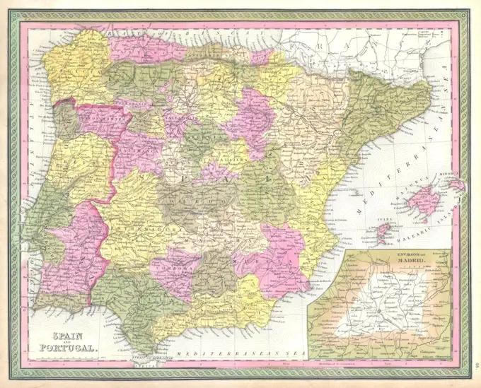
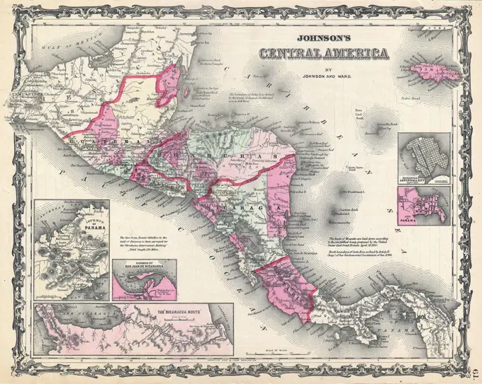
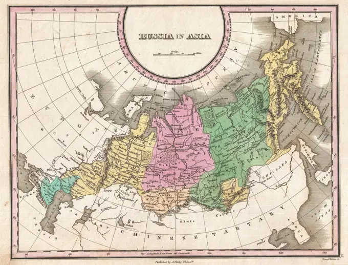
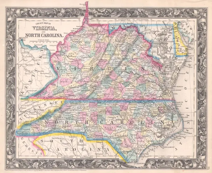
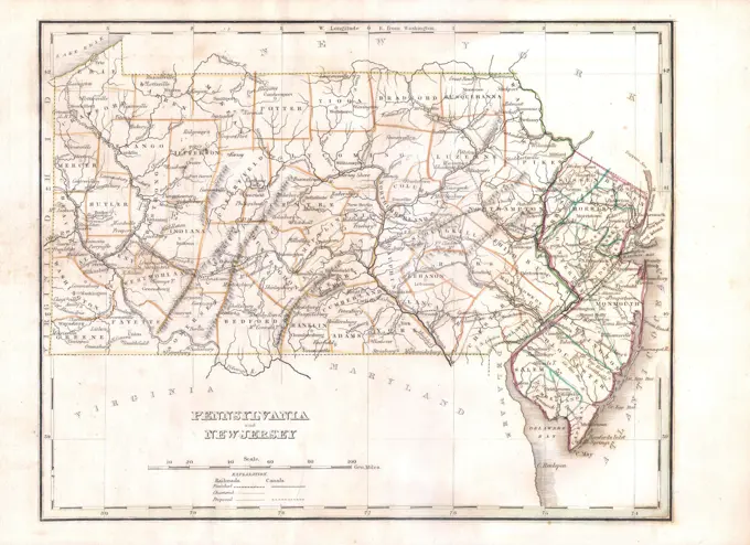
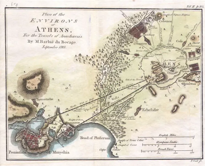
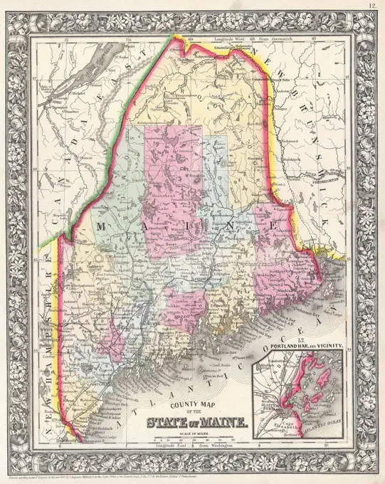
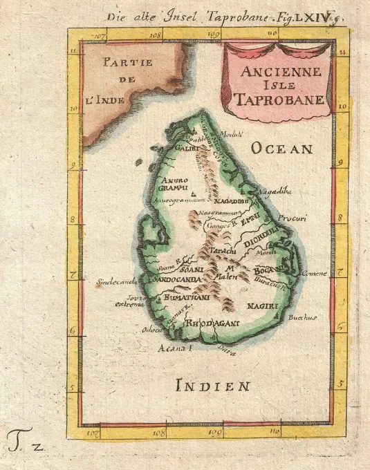
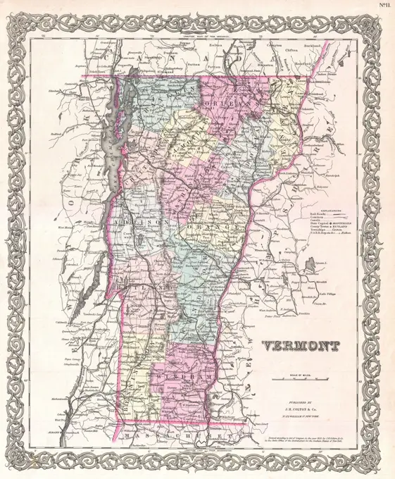
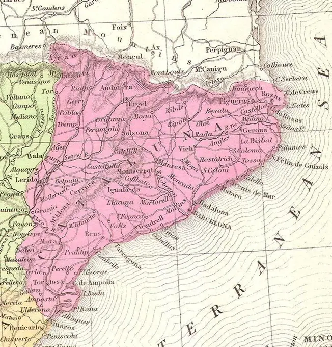
• CONTEMPORARY
  • FINE ART
  • VINTAGE
  • FOOTAGE
  • BOARDS
  • RESEARCH

Historical Maps

207 items in gallery.
1095-175
Map of Temixtitan (Tenochtitlan) From "Proeclara Ferdinandi Cortessi de Nova Maris Oceani Hyspania Narratio" "The Clear Narration by Hernan Cortes about the New Spain of the Atlantic Ocean" Published 1524 Hernando Cortes Nuremburg Newberry Library, Chicago
1899-18668727
Board game Steamtram game Haarlem-Alkmaar circa 1900.
1899-18795613
 Tourist map of Tasmania ca. 1932 - - Mandatory Photo Credit: TAHO.
1899-18795490
Map of Van Diemen's Land / by George Frankland, Surveyor General and sole Commissioner of Crown Lands ; engraved and published by Joseph Cross ca. 1839 - - Mandatory Photo Credit: TAHO.
1047-180
Map of Florida ca. 19th Century
1899-18667318
A Diagram of Oregon (1860 Oregon Map).
1899-18795157
A new map designed for 1870 Europe .
1899-18667524
Board game 'A walk from Bergen to Bergen aan Zee and back' / Bordspel 'Een wandeling van Bergen naar Bergen aan Zee en terug' circa 1920.
1899-18795624
[Polus Antarcticus] Terra Australis Incognita ca. 1680 - - Mandatory Photo Credit: TAHO.
1095-270
Africa And Europa From Portolan Atlas Of Four Charts 1612 Maps(- ) Newberry Library, Chicago, Illinois, USA
1899-19137186
Korea: Political map of Korea from the Ch'onha Chido Atlas showing the 8 administrative regions or provinces (indicated by red circles), pen and ink on rice paper, Joseon Dynasty, c. 1800
1899-18852675
Kunyu Wanguo Quantu (坤輿萬國全圖) was printed by Matteo Ricci upon request of Wanli Emperor in Beijing, 1602. Ricci's Chinese collaborators were Zhong Wentao and Li Zhizao. The map was crucial in expanding Chinese knowledge of the world. It was later exported to Japan and was influential there as well.
1899-18855233
Portuguese explorer Prince Henry, known as the Navigator, was the first European to methodically explore Africa and the oceanic route to the Indies. From his residence in the Algarve region of southern Portugal, he directed successive expeditions to circumnavigate Africa and reach India. In 1420, Henry sent an expedition to secure the uninhabited but strategic island of Madeira. In 1425, he tried to secure the Canary Islands as well, but these were already under firm Castilian control. In 1431, another Portuguese expedition reached and annexed the Azores.
1899-19135236
China: Karte der Konzessionsgebiete in Tientsin (Map of the Foreign Concessions in Tianjin), US Army Map Services, Washington DC, 1945, corrected and colourised by Maximilian Dorrbecker. Khu'hamgaba Kitap (CC BY-SA 4.0)
1899-18788486
The Straits Settlements were a group of British territories located in Southeast Asia. Originally established in 1826 as part of the territories controlled by the British East India Company, the Straits Settlements came under direct British control as a crown colony on 1 April 1867. The colony was dissolved in 1946 as part of the British reorganisation of its South-East Asian dependencies following the end of the Second World War. The Straits Settlements consisted of the four individual settlements of Malacca, Dinding, Penang (also known as Prince of Wales Island), Singapore (with Christmas Island and the Cocos Islands). The island of Labuan, off the coast of Borneo, was also incorporated into the colony with effect from 1 January 1907, becoming a separate settlement within it in 1912. With the exception of Singapore, Christmas Island, and the Cocos Islands, these territories now form part of Malaysia.
1899-19137202
Spain/Catalonia: Egypt, Turkey, Bulgaria, Ukraine and the Black Sea (inverted) as represented in the Catalan Atlas, by the Jewish illustrator Cresques Abraham, 1375
1899-18667317
Map of Dallas County, Arkansas Civil War era.
1899-18718714
Map of Guinea and surrounding regions. The Benin Kingdom is indicated in the east. Amsterdam, Blaeu, J. & G. 1640-50.
1899-19137206
Spain/Catalonia: The Kingdom of the 'Antichrist' as represented in the Catalan Atlas, by the Jewish illustrator Cresques Abraham, 1375
1899-18855075
The Atlas Maior is the final version of Joan Blaeu's atlas, published in Amsterdam between 1662 and 1672, in Latin (11 volumes), French (12 volumes), Dutch (9 volumes), German (10 volumes) and Spanish (10 volumes), containing 594 maps and around 3000 pages of text. It was the largest and most expensive book published in the seventeenth century. Earlier, much smaller versions, titled Theatrum Orbis Terrarum, sive, Atlas Novus, were published from 1634 onwards.
1899-19137210
Spain/Catalonia: Israel, Palestine and Jordan as represented in the Catalan Atlas, by the Jewish illustrator Cresques Abraham, 1375
1899-18795546
Polus Antarcticus Terra Australis Incognita / Henricus Hondius excudit ca. 1639 - - Mandatory Photo Credit: TAHO.
1899-18788267
This map was produced at the height of British Imperial power and shows direct British rule extending all the way from Iran (Persia) to Thailand (Siam). Most of the contiguous Indian Ocean littoral, from South Africa to Singapore and Australia, was also under British administration or de facto control. It is relevant to note that the map shows Sikkim extending north into the present-day territory of China's Tibetan Autonomous Region. Similarly Darjeeling is shown in eastern Nepal, while Bhutan is elongated to the east and most of India's Arunachal Pradesh province is shown as part of the Qing Empire. In Kashmir, by contrast, the disputed Aksai Chin region, now under Chinese control, is shown as part of India.
1899-18718711
Coste Occidentale d'Afrique. Publiee par ordre du Comte de Maurepas en 1738. Taken from a work by Jacques Bellin (1703-1772).
1899-19135488
Japan: 'Feudal Map of Japan Before Sekigahara' (1600),  A History of Japan during the century of early foreign intercourse (1542-1651), James Murdoch and Isoh Yamagata, 1903
1899-18712849
The Greater East Asia Co-Prosperity Sphere (Dai-to-a Kyoeiken) was a concept created and promulgated during the Showa era by the government and military of the Empire of Japan. It represented the desire to create a self-sufficient bloc of Asian nations led by the Japanese and free of Western powers. The Japanese Prime Minister Fumimaro Konoe planned the Sphere in 1940 in an attempt to create a Great East Asia, comprising Japan, Manchukuo, China, and parts of Southeast Asia, that would, according to imperial propaganda, establish a new international order seeking ‘co prosperity’ for Asian countries which would share prosperity and peace, free from Western colonialism and domination. In historical fact, the Greater East Asia Co-Prosperity Sphere is remembered largely as a front for the Japanese control of occupied countries during World War II, in which puppet governments manipulated local populations and economies for the benefit of Imperial Japan.
1899-19136247
Egypt: Map of the world (south to the top), said to be the oldest rectangular map of the world, Kitab Ghara'ib al-funun wa-mulah al-'uyun ('The Book of Curiosities of the Sciences and Marvels for the Eyes'), 12th-13th Centuries
1899-18855260
The Greater East Asia Co-Prosperity Sphere (Dai-to-a Kyoeiken) was a concept created and promulgated during the Showa era by the government and military of the Empire of Japan. It represented the desire to create a self-sufficient bloc of Asian nations led by the Japanese and free of Western powers. The Japanese Prime Minister Fumimaro Konoe planned the Sphere in 1940 in an attempt to create a Great East Asia, comprising Japan, Manchukuo, China, and parts of Southeast Asia, that would, according to imperial propaganda, establish a new international order seeking ‘co prosperity’ for Asian countries which would share prosperity and peace, free from Western colonialism and domination. In historical fact, the Greater East Asia Co-Prosperity Sphere is remembered largely as a front for the Japanese control of occupied countries during World War II, in which puppet governments manipulated local populations and economies for the benefit of Imperial Japan.
1899-18712745
Dejima (literally 'exit island'; Dutch: Desjima or Deshima, sometimes latinised as Decima or Dezima) was a small fan-shaped artificial island built in the bay of Nagasaki in 1634. This island, which was formed by digging a canal through a small peninsula, remained as the single place of direct trade and exchange between Japan and the outside world during the Edo period. Dejima was built to constrain foreign traders as part of the 'sakoku' self-imposed isolationist policy. Originally built to house Portuguese traders, it changed to a Chinese and Dutch trading post from 1641 until 1853. Covering an area of 120 m x 75 m (9000 square meters, or 0.9 hectares) it later became integrated into the city. 'Dejima Dutch Trading Post' has been designated a Japanese national historic site.
1899-18856371
Heian-kyō (平安京, literally 'tranquility and peace capital') was one of several former names for the city now known as Kyoto. It was the capital of Japan for over one thousand years, from 794 to 1868 with an interruption in 1180. Emperor Kammu established it as the capital in 794, moving the Imperial Court there from nearby Nagaoka-kyō at the recommendation of his advisor Wake no Kiyomaro and marking the beginning of the Heian period of Japanese history. The city was modelled after the Tang Dynasty Chinese capital of Chang'an (modern-day Xi'an). It remained the chief political center until 1185, when the samurai Minamoto clan defeated the Taira clan in the Genpei War, moving administration of national affairs to Kamakura and establishing the Kamakura shogunate. Though political power would be wielded by the samurai class over the course of three different shogunates, Heian remained the site of the Imperial Court and seat of Imperial power, and thus remained the official capital. In fact,
1899-18792537
The Sino–Vietnamese War (Vietnamese: Chiến tranh biên giới Việt-Trung), also known as the Third Indochina War, known in the PRC as 对越自卫反击战 (duì yuè zìwèi fǎnjī zhàn) (Counterattack against Vietnam in Self-Defense) and in Vietnam as Chiến tranh chống bành trướng Trung Hoa (War against Chinese expansionism), was a brief but bloody border war fought in 1979 between the People's Republic of China (PRC) and the Socialist Republic of Vietnam. The PRC launched the offensive in response to Vietnam's 1978 invasion and occupation of Cambodia, which ended the reign of the PRC-backed Khmer Rouge. The Chinese invaded Northern Vietnam and captured some of the northernmost cities in Vietnam. On March 6 China declared that the gate to Hanoi was open and that their punitive mission had been achieved and retreated back to China. Both China and Vietnam claimed victory in the last of the Indochina Wars of the twentieth century; as Vietnamese troops remained in Cambodia until 1989 it can be said that the P
1899-18855072
The Atlas Maior is the final version of Joan Blaeu's atlas, published in Amsterdam between 1662 and 1672, in Latin (11 volumes), French (12 volumes), Dutch (9 volumes), German (10 volumes) and Spanish (10 volumes), containing 594 maps and around 3000 pages of text. It was the largest and most expensive book published in the seventeenth century. Earlier, much smaller versions, titled Theatrum Orbis Terrarum, sive, Atlas Novus, were published from 1634 onwards.
1899-18855673
The South Manchuria Railway was built as a part of the Chinese Eastern Railway in 1898-1903 by Imperial Russia according to the Russian-Chinese convention and the Convention of Peking 1860. The South Manchuria Railway Company (南満州鉄道株式会社/南満洲鉄道株式会社 Minami Manshū Tetsudō Kabushiki-gaisha, or 満鉄 Mantetsu) (Chinese: 南满铁路) was a company founded in the Empire of Japan in 1906, taken over after the Russo-Japanese War (1904–1905), and operated within China in the Japanese-controlled South Manchuria Railway Zone. The railway itself ran from Lüshun Port at the southern tip of the Liaodong Peninsula to Harbin, where it connected to the Chinese Eastern Railway. In 1945, the Soviet Union invaded and liberated the Japanese puppet state of Manchukuo. Rolling stock and moveable equipment was looted, and taken back to the Soviet Union, some of which was returned when the Chinese Communist government came into power. The South Manchuria Railway Company or Mantetsu was dissolved by order of the American o
1899-19137199
Spain/Catalonia: Egypt, Turkey, Cyprus and the eastern Mediterranean, as represented in the Catalan Atlas, by the Jewish illustrator Cresques Abraham, 1375
1899-18788272
A Political map of mainland Southeast Asia including Burma, Thailand, Laos, Cambodia and Vietnam, as well as peninsular Malaysia, the Andaman and Nicobar Islands, and part of Sumatra. Published, apparently, just before the 3rd Anglo-Burmese War (1885-86) which would extinguish Burmese independence, it shows 'Independent Burma' in an approximate rectangle around Mandalay. To the east lies the 'Independent Shan Country' encompassing the Burmese Shan States and northern Laos. East of this again is Tonkin, or northern Vietnam, where the 'Independent Tribes' represent the semi-independent Tai domain of Sipsongchuthai, absorbed by the French in 1888 and now a part of Vietnam. South of this again, the 'Shan States' encompass the former Lan Na Kingdom centred on Chiang Mai to the west, and the Lao kingdoms of Luang Prabang, Vientiane and Champassak to the east. Chiang Mai is no longer shown as extending west of the Salween River, as is the case in some earlier European maps. Interestingly (and
1899-18712747
Dejima (literally 'exit island'; Dutch: Desjima or Deshima, sometimes latinised as Decima or Dezima) was a small fan-shaped artificial island built in the bay of Nagasaki in 1634. This island, which was formed by digging a canal through a small peninsula, remained as the single place of direct trade and exchange between Japan and the outside world during the Edo period. Dejima was built to constrain foreign traders as part of the 'sakoku' self-imposed isolationist policy. Originally built to house Portuguese traders, it changed to a Chinese and Dutch trading post from 1641 until 1853. Covering an area of 120 m x 75 m (9000 square meters, or 0.9 hectares) it later became integrated into the city. 'Dejima Dutch Trading Post' has been designated a Japanese national historic site.
1899-18852500
A highly decorative map of the East Indies from the Mercator-Hondius Atlas. It extends from the Philippines to Timor and Sumatra to New Guinea, detailing the Spice Islands, a region of great importance to seventeenth century Europe, but one about which little was known at the time. Hondius based his map on portolan charts by Portuguese cartographer Bartolomeu Lasso.  Of particular note is the comment Huc Franciscus Dra. Appulit, which appears by the unknown southern coast of Java, representing Drake's landing during his circumnavigation of the globe in 1577-80. Of considerable contemporary relevance, the map also shows a highly stylised diagram of the Spratly Islands and perhaps the Paracels in the South China Sea, indicating ownership lying with Vietnam and Indochina, not - as vociferously claimed by the People's Republic - with China. This map follows very shortly the extension of Dutch control over the islands. In 1602 the Dutch East India Company was formed, and within a couple dec
1899-18718716
Map of the west coast of Africa by Pieter Goos (Amsterdam, 1666).
1899-18855068
The Atlas Maior is the final version of Joan Blaeu's atlas, published in Amsterdam between 1662 and 1672, in Latin (11 volumes), French (12 volumes), Dutch (9 volumes), German (10 volumes) and Spanish (10 volumes), containing 594 maps and around 3000 pages of text. It was the largest and most expensive book published in the seventeenth century. Earlier, much smaller versions, titled Theatrum Orbis Terrarum, sive, Atlas Novus, were published from 1634 onwards.
1899-18855235
Asia is the Earth's largest and most populous continent, located primarily in the eastern and northern hemispheres. It covers 8.7% of the Earth's total surface area and comprises 30% of its land area. With approximately 4.3 billion people, it hosts 60% of the world's current human population. The boundaries of Asia are culturally determined, as there is no clear geographical separation between it and Europe, which together form one continuous landmass called Eurasia. The most commonly accepted boundaries place Asia to the east of the Suez Canal, the Ural River, and the Ural Mountains, and south of the Caucasus Mountains (or the Kuma–Manych Depression) and the Caspian and Black Seas.It is bounded on the east by the Pacific Ocean, on the south by the Indian Ocean and on the north by the Arctic Ocean.
1899-18788921
The British Empire comprised the dominions, colonies, protectorates, mandates and other territories ruled or administered by the United Kingdom. It originated with the overseas colonies and trading posts established by England in the late 16th and early 17th centuries. At its height, it was the largest empire in history and, for over a century, was the foremost global power. By 1922 the British Empire held sway over about 458 million people, one-fifth of the world's population at the time. The empire covered more than 33,700,000 km2 (13,012,000 sq mi), almost a quarter of the Earth's total land area. As a result, its political, legal, linguistic and cultural legacy is widespread.
1899-19137203
Spain/Catalonia: Tunisia, Libya and the central Mediterranean as represented in the Catalan Atlas, by the Jewish illustrator Cresques Abraham, 1375
1899-18788920
The British Empire comprised the dominions, colonies, protectorates, mandates and other territories ruled or administered by the United Kingdom. It originated with the overseas colonies and trading posts established by England in the late 16th and early 17th centuries. At its height, it was the largest empire in history and, for over a century, was the foremost global power. By 1922 the British Empire held sway over about 458 million people, one-fifth of the world's population at the time. The empire covered more than 33,700,000 km2 (13,012,000 sq mi), almost a quarter of the Earth's total land area. As a result, its political, legal, linguistic and cultural legacy is widespread.
1899-18856747
Colonel Sir Mark Sykes, 6th Baronet (born Tatton Benvenuto Mark Sykes; 16 March 1879 – 16 February 1919) was an English traveller, Conservative Party politician and diplomatic adviser, particularly about matters respecting the Middle East at the time of the First World War. He is associated with the Sykes-Picot Agreement, drawn up while the war was in progress, regarding the apportionment of postwar spheres of interest in the Ottoman Empire to Britain, France and Russia. François Marie Denis Georges-Picot (Paris, 21 December 1870 – Paris, 20 June 1951), son of historian Georges Picot and grand-uncle of Valéry Giscard d'Estaing, was a French diplomat who signed the Sykes-Picot Agreement during World War I, with the Englishman, Sir Mark Sykes, dividing up the Ottoman Empire into British, French and, later, Russian and Italian spheres of influence. He was responsible along with Sykes for the annexation of Arab lands and their incorporation into British and French empires.
1047-190
Map of East Indies,  by J.H. Colton and Co.,  1855
1899-18788271
Physical map showing approximate political frontiers in Green. The Shan and Lao states are shown independent of (or tributary to) Siam. Chiang Mai ('Tshien-Mai'and Luang Prabang are both shown lying within the frontiers of a greater Siam,, but the territoryy of Chiang Mai extends further to the northwest, into Burma's Shan State, beyond the Salween River, than it does today. Cambodia is much curtailed, with Angkor and Battambang part of Siam. Champa is still indicated in southern Vietnam ('Tshampa'), though it finally ceased to exist in 1832. The Lao kingdoms of Luang Prabang, Vientiane (Vien Tscan) and Champassak are all represented as part of Greater Siam. The Anglo-French competition for dominion over the region was just starting, and over the next 30 years Siam would lose much of its territory to the east and Northeast, as well as in the Malayan Peninsula.
1899-18713522
A Venetian cartographer, Coronelli (1650-1718)  cites his sources for this Nile map, including the Portuguese Jesuits Pedro Páez and Jerónimo Lobo, and contrasts his work with an inset showing the “original” (that is, outdated) course of the Nile as presented by past geographers, who followed the Ptolemaic tradition of two source lakes. Páez and Lobo had visited Ethiopia in the early 1600s, and both gave accounts of having seen the springs that natives believed to be the river’s source, though the Jesuits failed to distinguish between the two branches of the river. Coronelli’s Nile is the Blue Nile, and his geography is fairly accurate for that branch, identifying the significance of Lake Tsana and the clockwise unfolding of the river as it descends from there.
1899-18856114
The Hun Tian Yi Tong Xing Xiang Quan Tu (蘇州石刻天文圖) or Suzhou Star Chart (淳祐天文図) indicates 1434 stars grouped into 280 Asterisms in a chart of the Northern Skies.
1899-19135851
Japan/USA: Chart showing the 'Track of the Task Force for Pearl Harbor Attack', Reports of General MacArthur prepared by his General Staff, Washington: GPO, 1951
1899-19137201
Spain/Catalonia: Egypt, Turkey, Bulgaria, Ukraine and the Black Sea as represented in the Catalan Atlas, by the Jewish illustrator Cresques Abraham, 1375
PREVIOUS
of 5 NEXT

Film and Art Digitized as New Assets

Magnet: The Vibe Shift is Coming!

1558-128101

Magnet: The Metaverse is EVERYWHERE

1849-13721241
More
  • Contact
  • Request A Search
  • Become A Contributor
  • My Cart
  • Creative Boards
  • "The Magnet" Blog
  • API Access
  • Superstock Custom Prints
  • Superstock NFTs
Contact US

Phone: 866-236-0087

Email: info@superstock.com

or fill out a Contact Form

LET'S CONNECT

©2022 SuperStock. All Rights Reserved.Production Store-930

Terms & Conditions | Licensing | Privacy

This site is protected by reCAPTCHA and the Google Privacy Policy and Terms of Service apply.