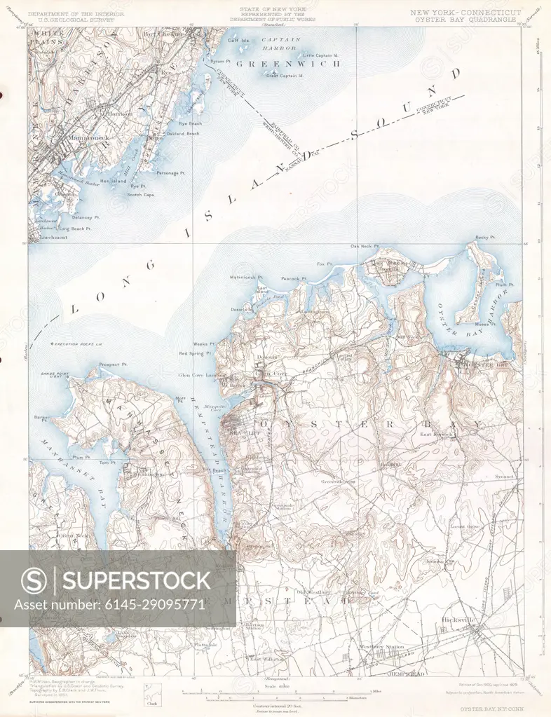
1900 U.S.G.S. Map of Oyster Bay, Long Island, New York
SuperStock offers millions of photos, videos, and stock assets to creatives around the world. This image of Explore the Detailed Topographic Map of Long Island Sound Region – Historical Cartography and Coastal Navigation by Piemags/PL Photography Limited is available for licensing today.
DETAILS
Image Number: 6145-29095771Royalty FreeCredit Line:Piemags/PL Photography Limited/SuperStockCollection: