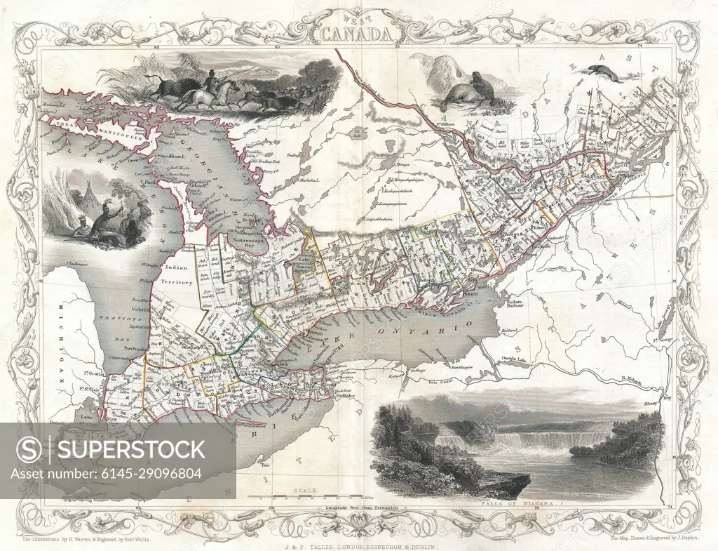
1850 Tallis Map of West Canada or Ontario ( includes Great Lakes )
SuperStock offers millions of photos, videos, and stock assets to creatives around the world. This image of Explore Historic Canada: Intricate Antique Map Detailing 19th Century Geography and Landmarks by Piemags/PL Photography Limited is available for licensing today.
Looking for a license?
Click here, and we'll help you find it! Questions? Just ask!
Click here, and we'll help you find it! Questions? Just ask!
DETAILS
Image Number: 6145-29096804Royalty FreeCredit Line:Piemags/PL Photography Limited/SuperStockCollection:PL Photography Limited Contributor:Piemags Model Release:NoProperty Release:NoResolution:3500×2684