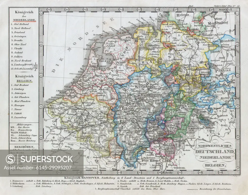
1862 Stieler Map of Holland, Belgium and Western Germany
SuperStock offers millions of photos, videos, and stock assets to creatives around the world. This image of Explore 19th Century Europe with This Detailed Map of Northwestern Germany, the Netherlands, and Belgium – Perfect for History Enthusiasts and Cartography Lovers! by Piemags/PL Photography Limited is available for licensing today.
Looking for a license?
Click here, and we'll help you find it! Questions? Just ask!
Click here, and we'll help you find it! Questions? Just ask!
DETAILS
Image Number: 6145-29095207Royalty FreeCredit Line:Piemags/PL Photography Limited/SuperStockCollection:PL Photography Limited Contributor:Piemags Model Release:NoProperty Release:NoResolution:3092×2428