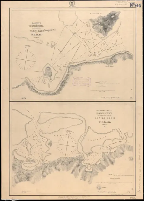
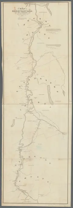
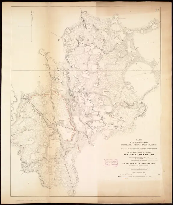
Historical River Maps
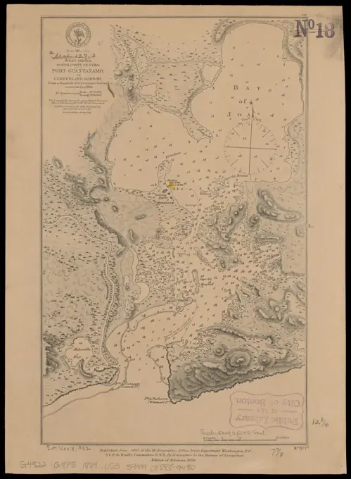
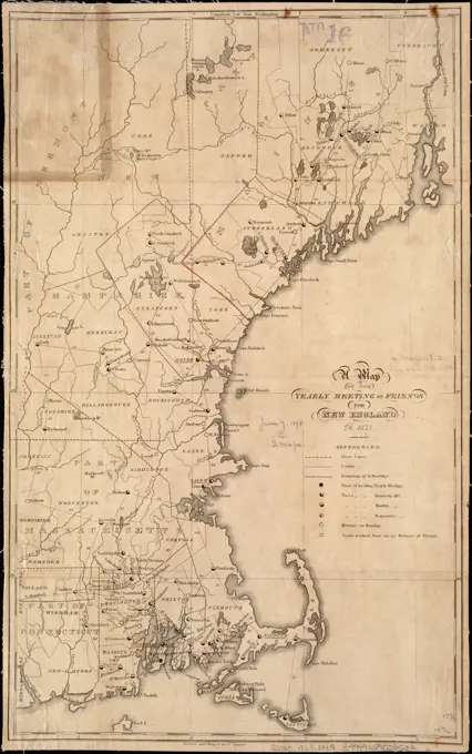
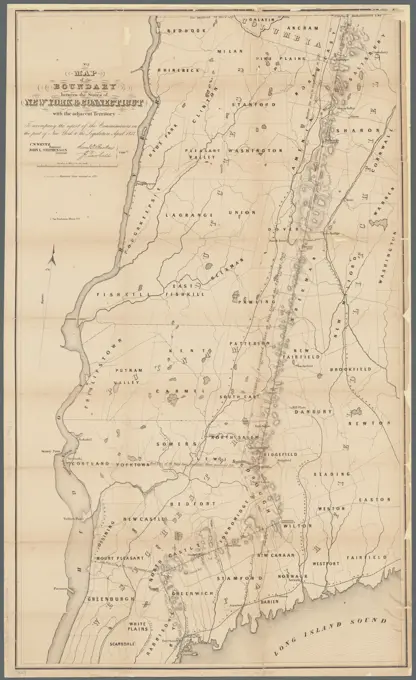
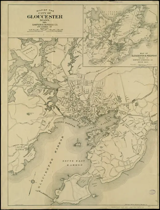
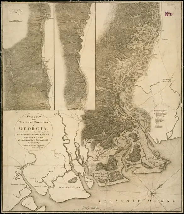
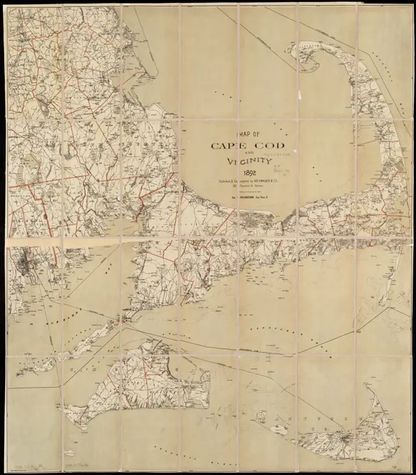
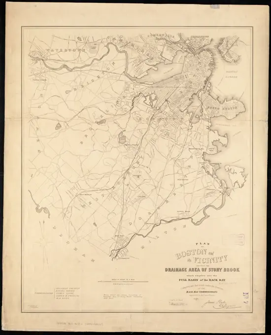
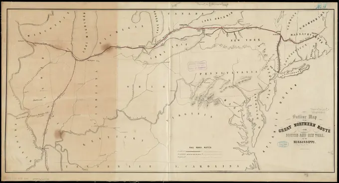
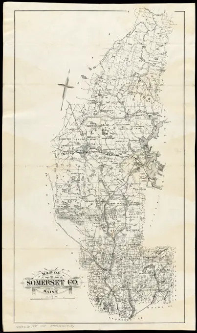
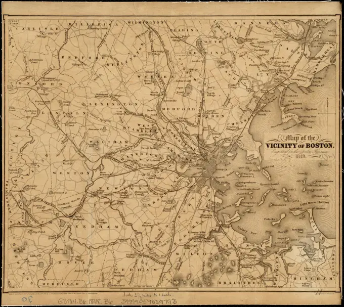
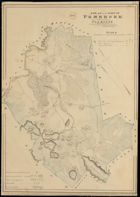
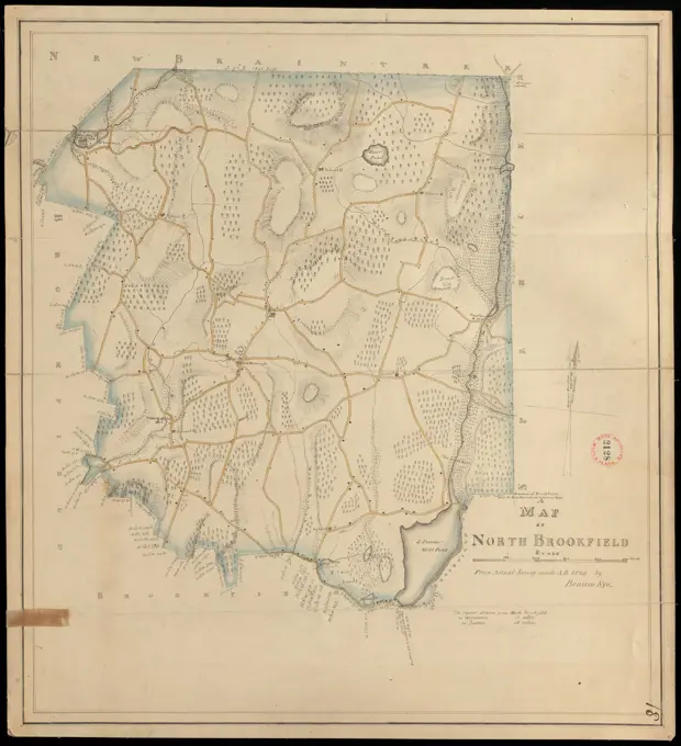
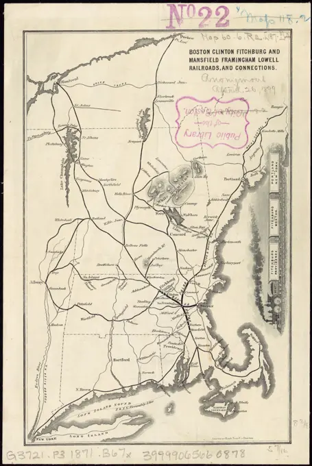
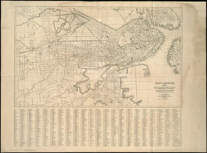
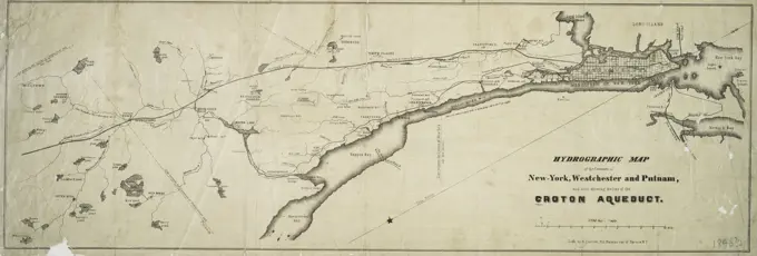
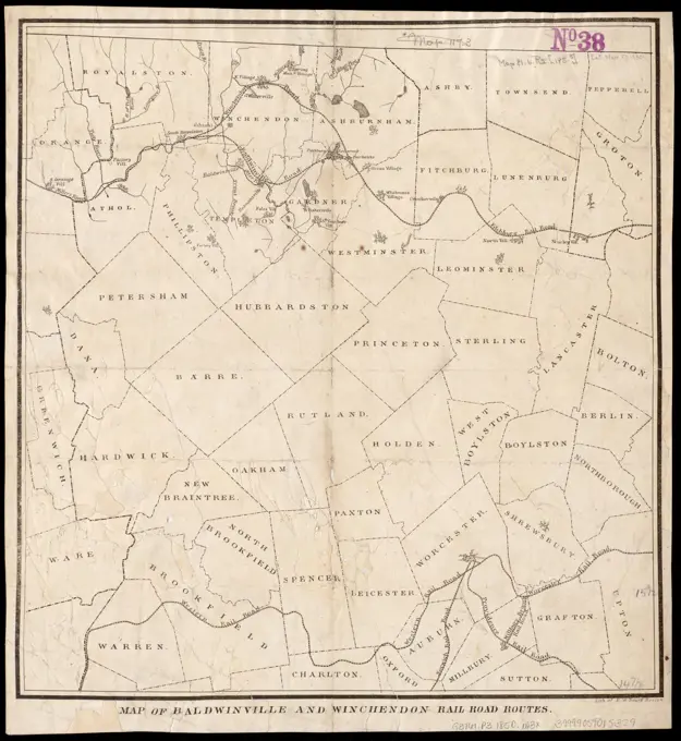
Detailed historical maps depicting the Coatzacoalcos River and several locations in Massachusetts, showcasing surveys and land plans from the 19th century.

Detailed historical maps depicting the Coatzacoalcos River and several locations in Massachusetts, showcasing surveys and land plans from the 19th century.