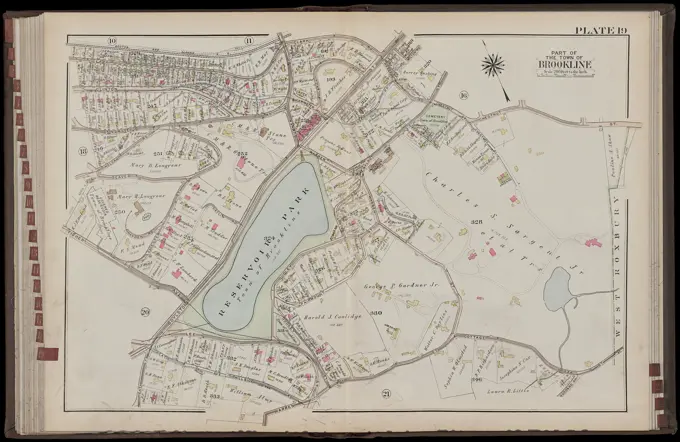
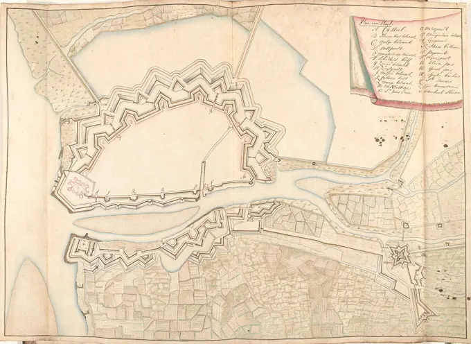
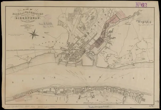
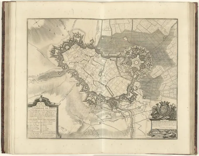
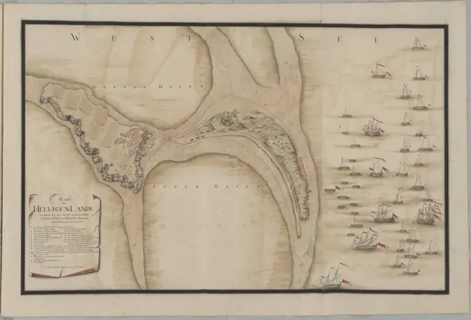
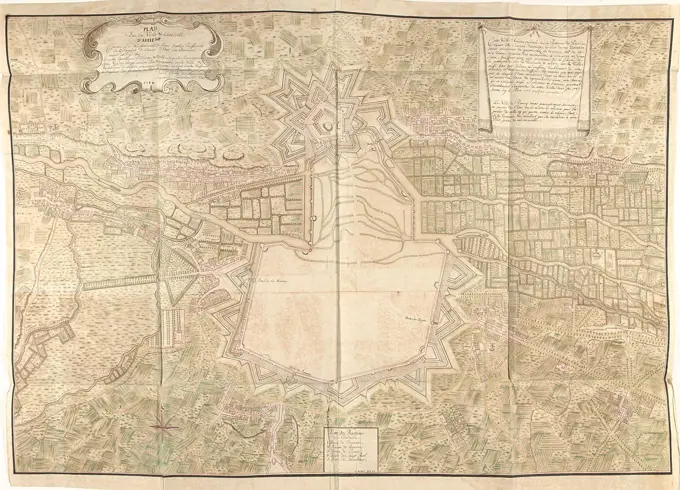
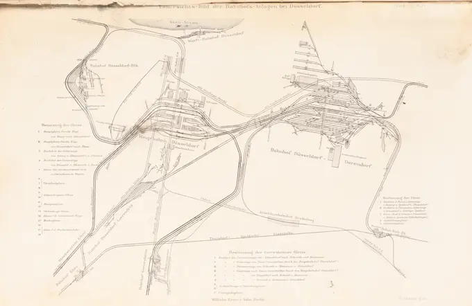
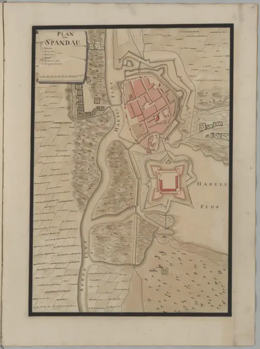
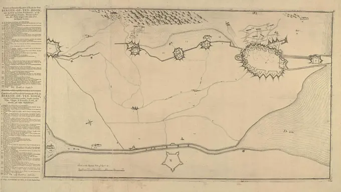
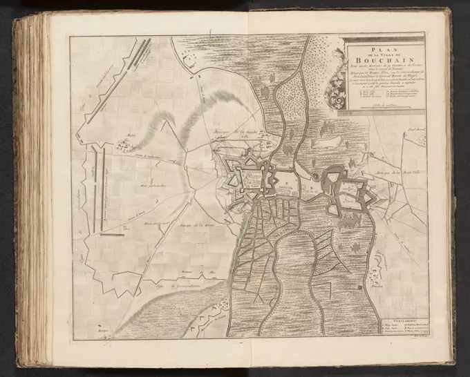
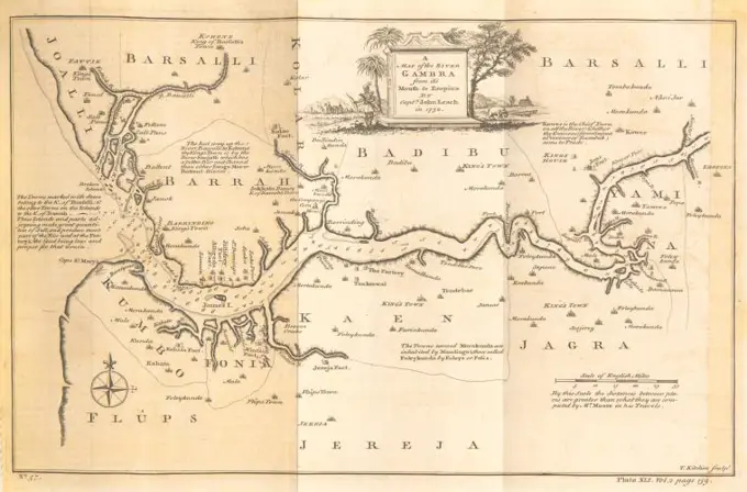
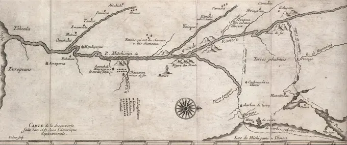
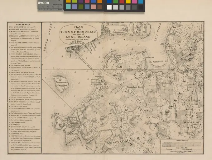
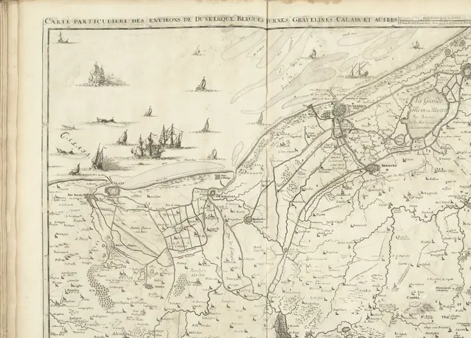
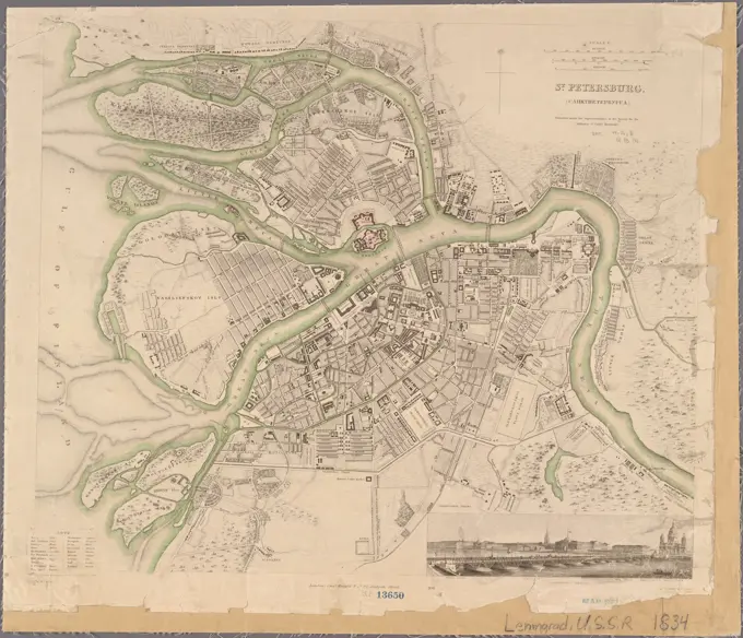
Historical Maps Collection

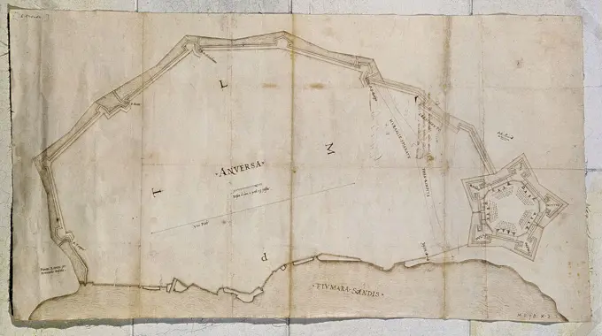
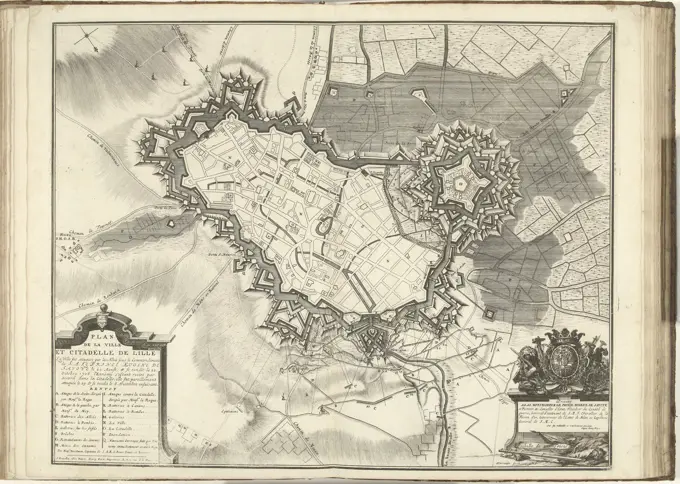
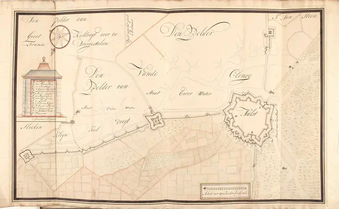
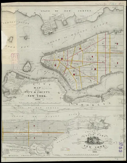
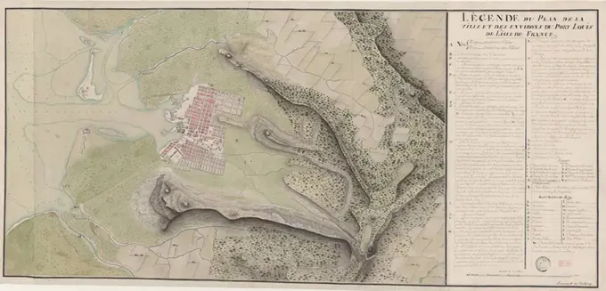
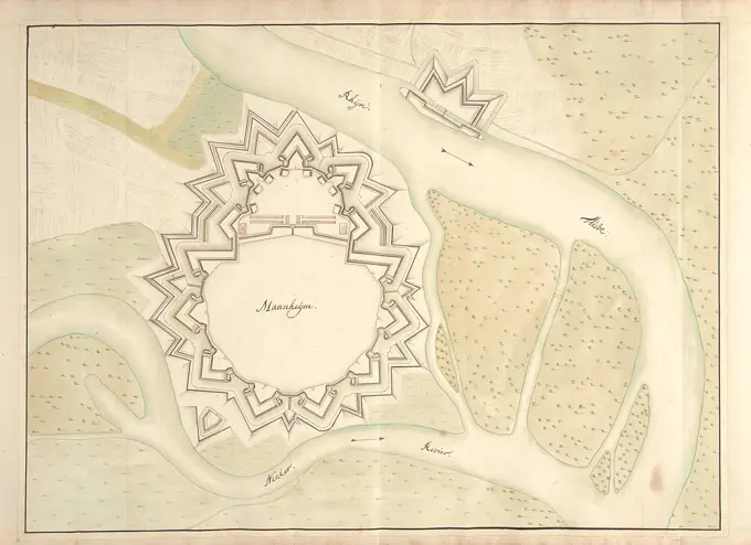
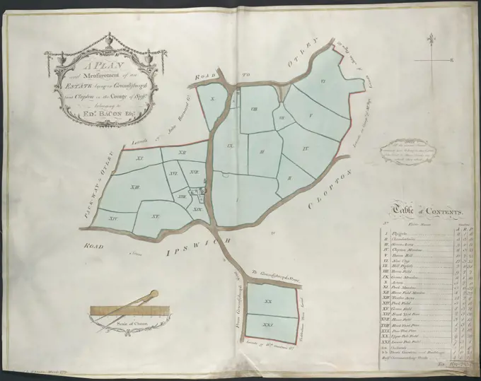
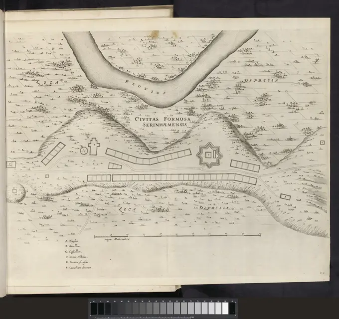
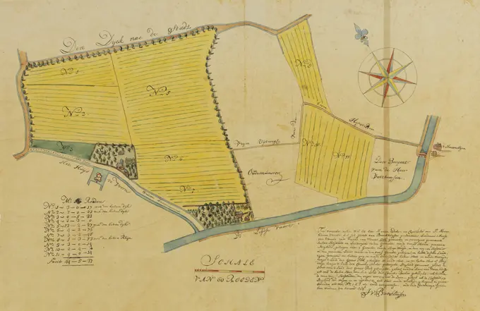
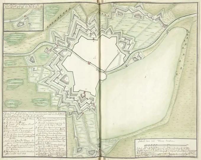
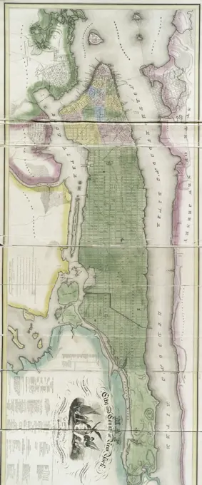
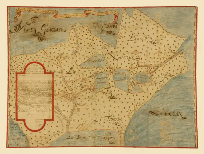
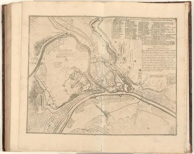
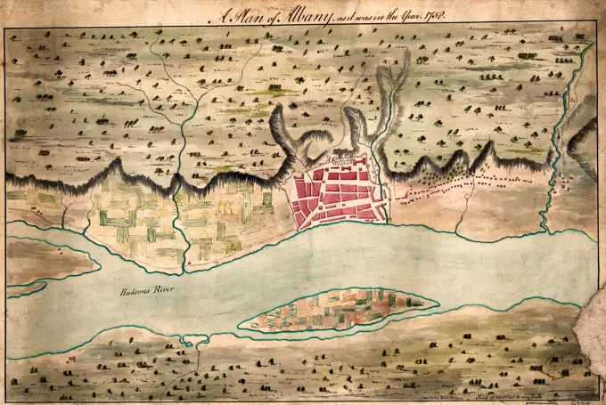
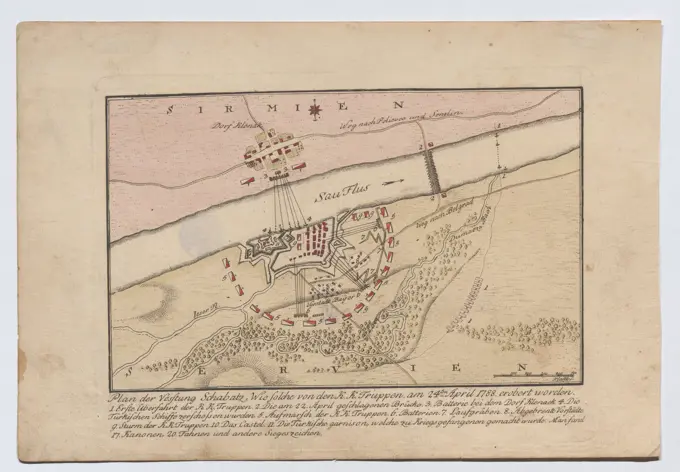
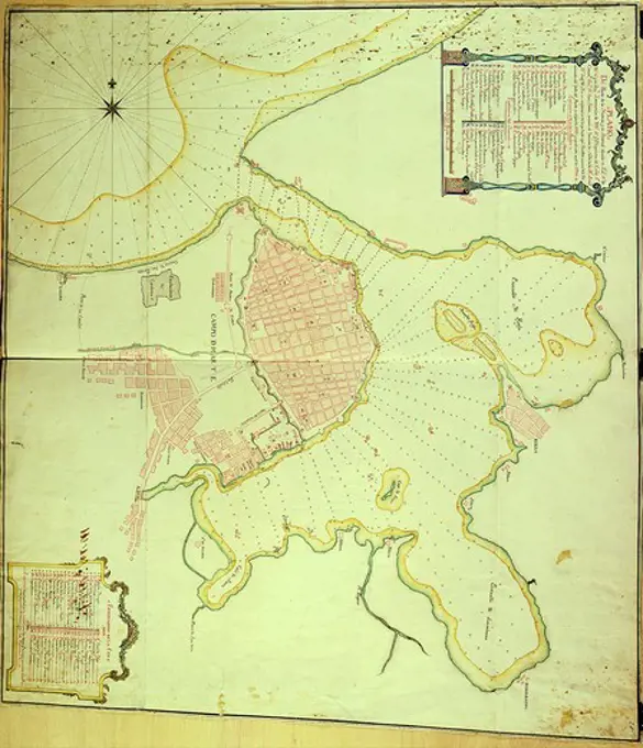
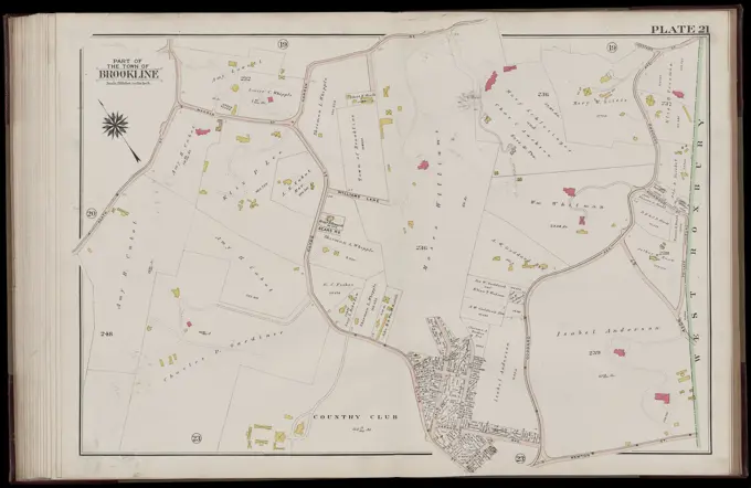
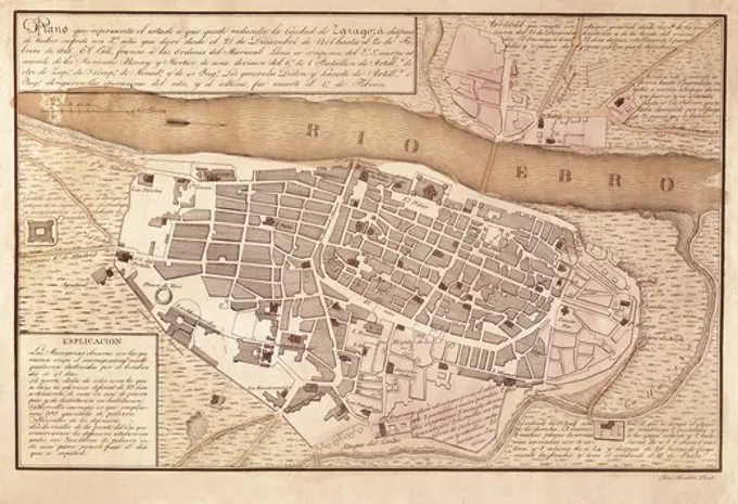
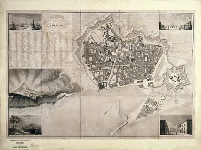
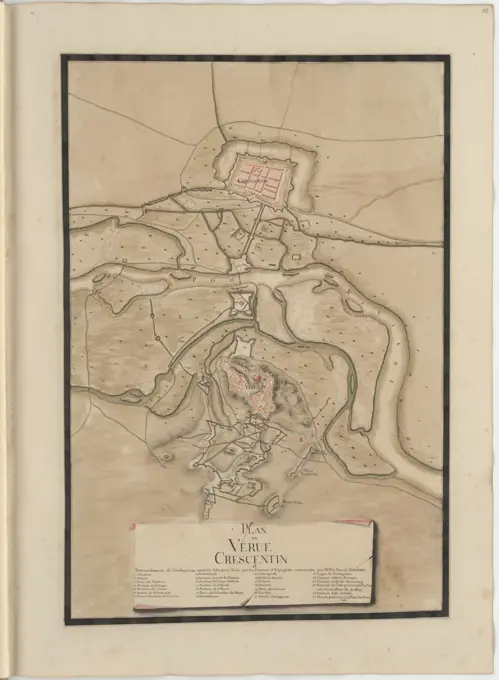
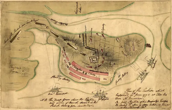
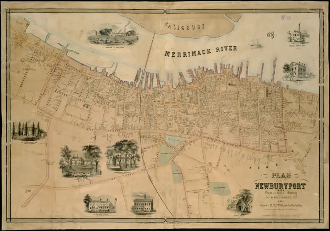
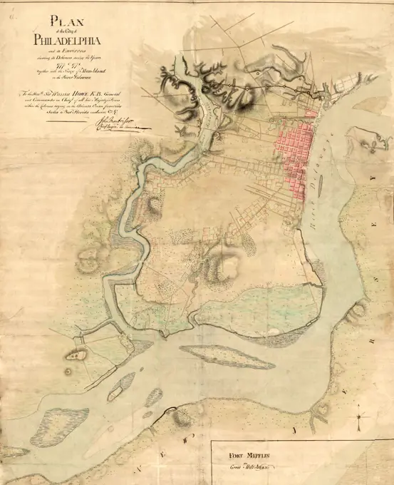
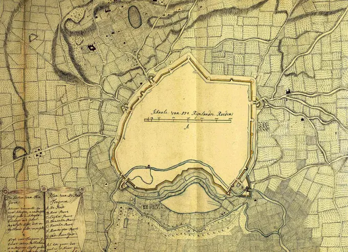
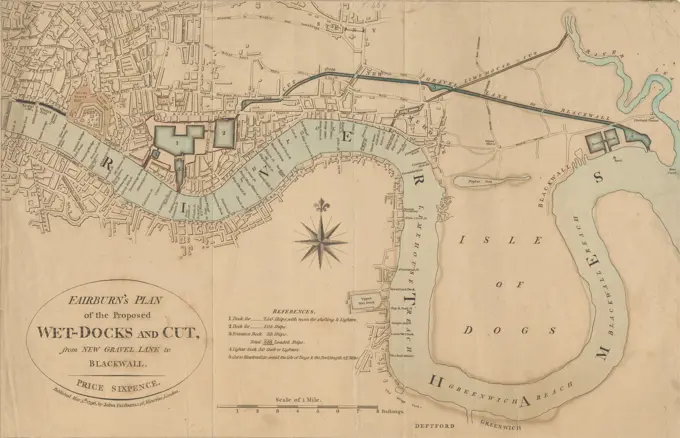
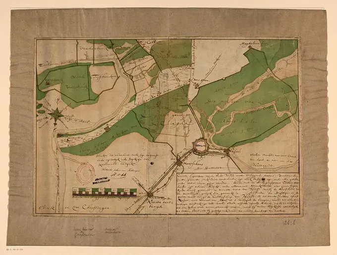
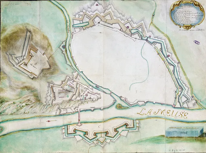
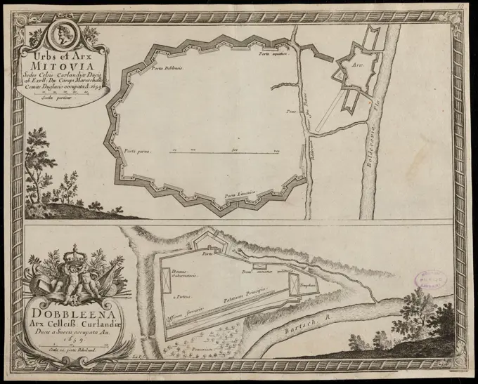
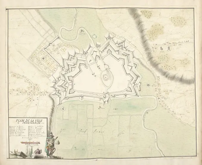
A series of detailed historical maps depicting various locations in Massachusetts and Europe, showcasing property outlines, landowners, and architectural plans.

Plan of Oudenaarde, 1707, Samuel Du Ry de Champdoré, 1707, Plan of the fortifications around the town of Oudenaarde, 1707. Bottom left a cartouche with the legend A-P in French, decorated with ruins and a soldier with sword and empire apple. Part of a collection of drawn plans of fortified towns in the Netherlands and surrounding countries at the time of the War of the Spanish Succession (part C)., draughtsman: Samuel Du Ry de Champdoré, Netherlands, 1707, paper, h 450 mm × w 560 mm