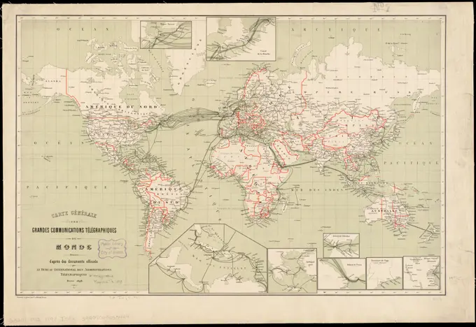
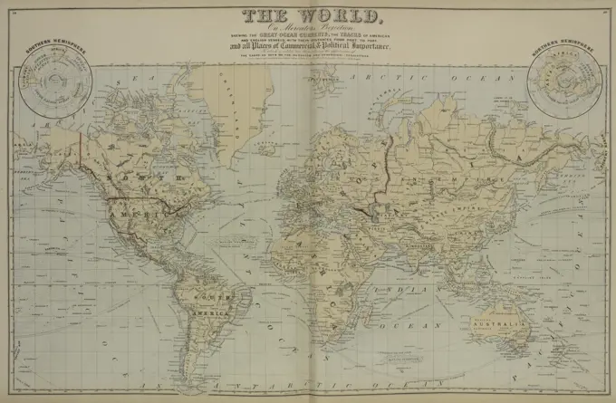
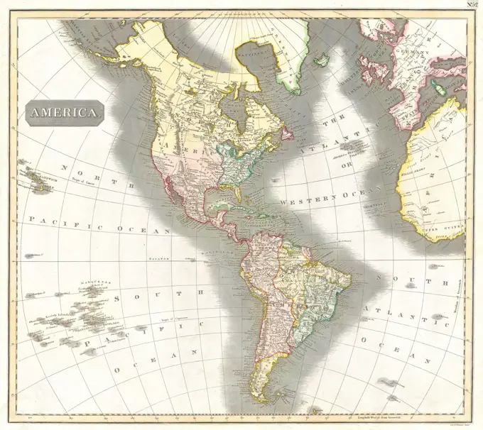
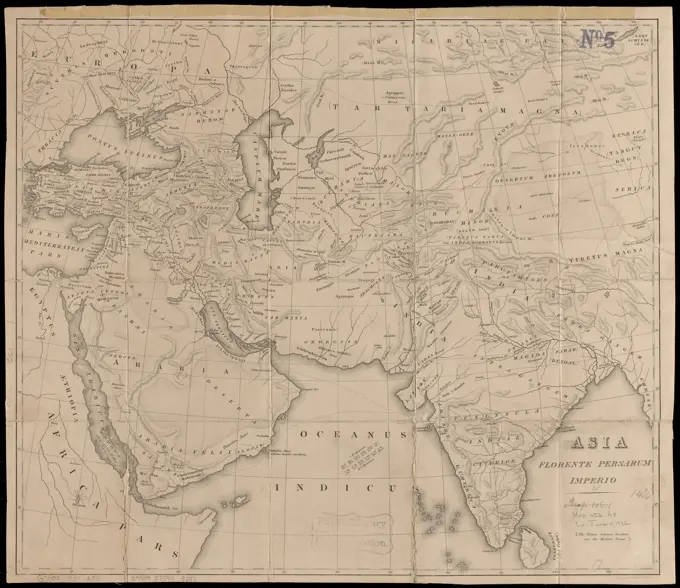
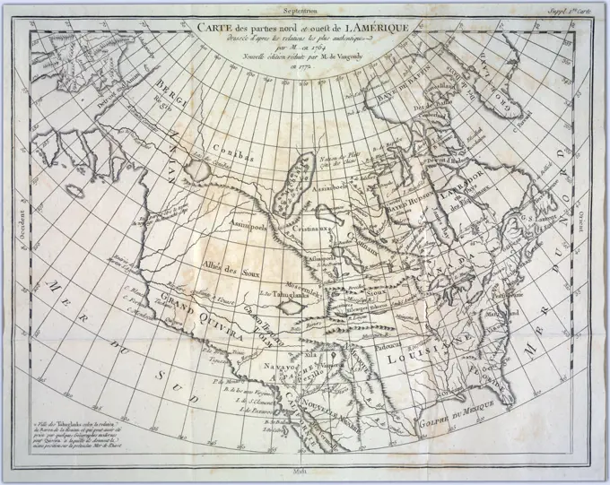
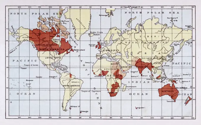
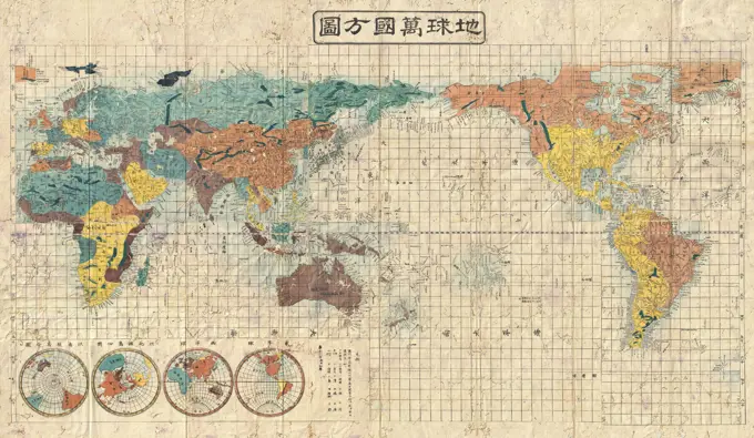
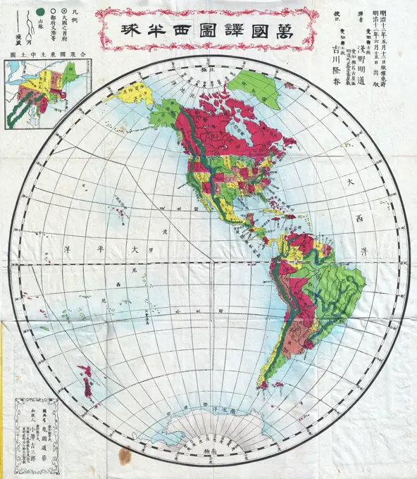
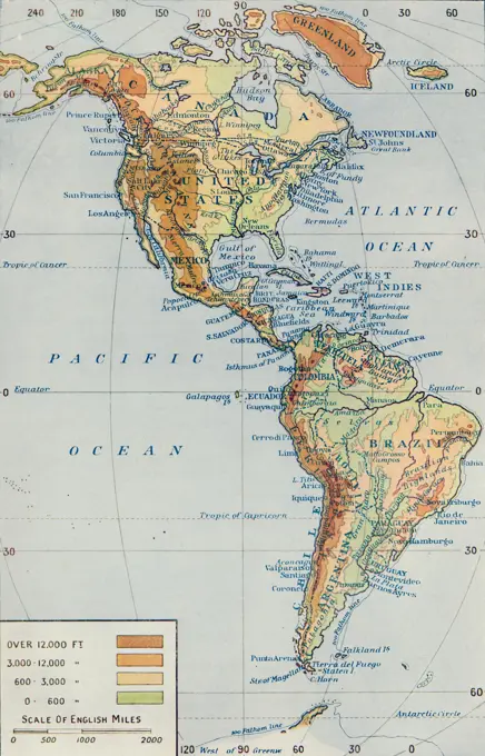
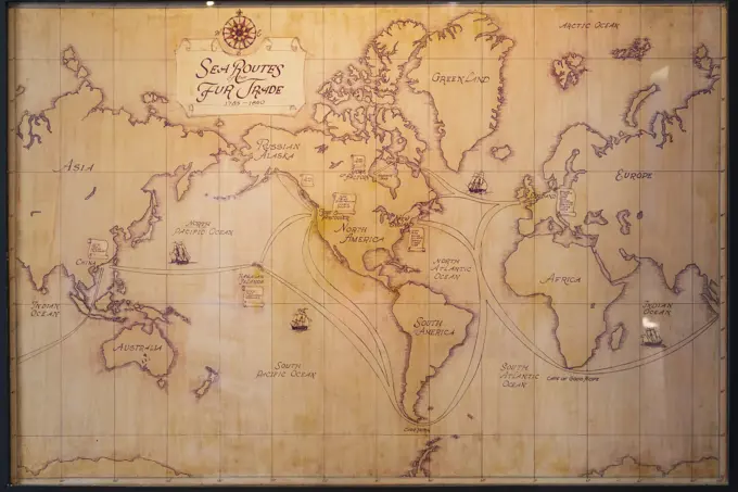
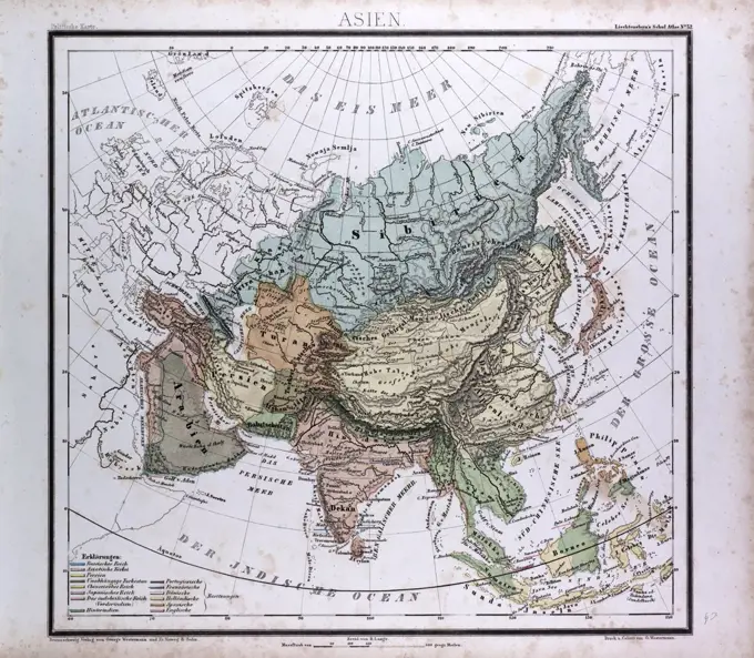
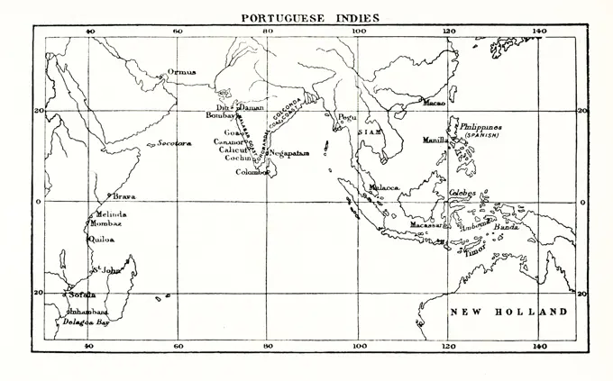
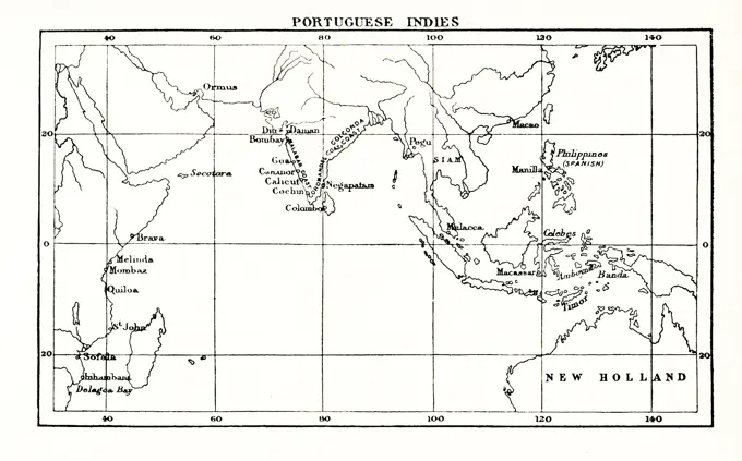
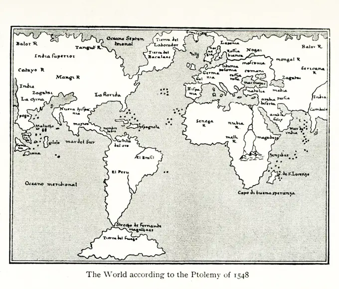
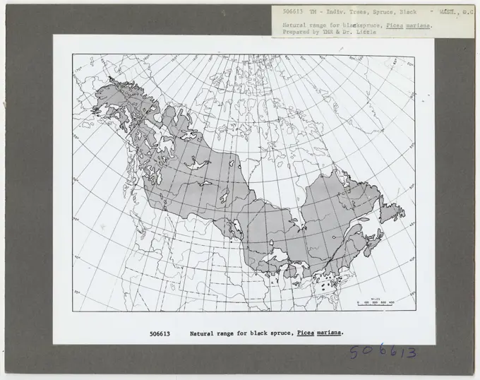
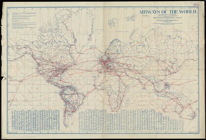
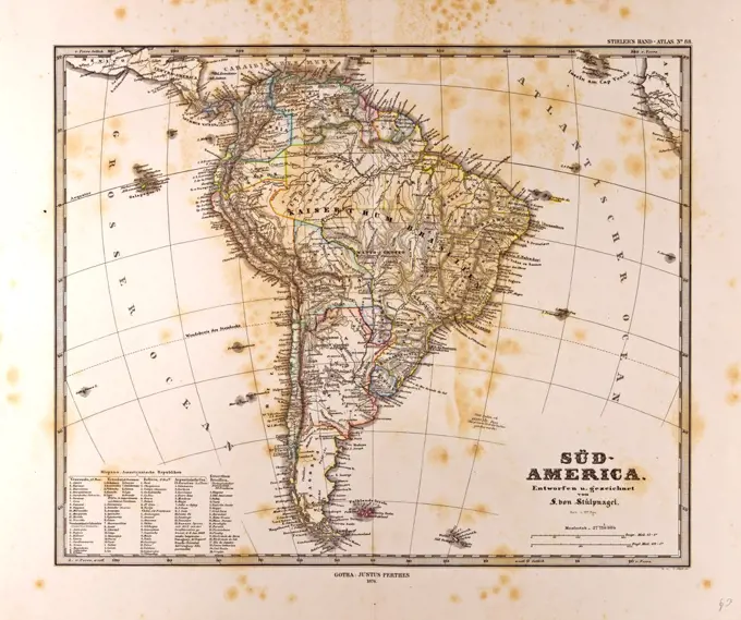
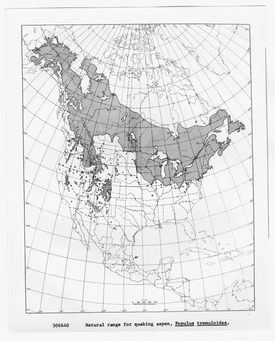
19th Century World MapsMaps highlighting colonial territories and geopolitical boundaries of the world during the 19th century, featuring specific regions under European control. World map showing the European colonies Date: 1894 143 assets in this story6145-290963521746-196622821848-502426121788-344784220-218491136145-487179176145-290953261788-344771848-192612006176-670453056176-670587464409-172835956145-290951961899-187956876145-505344106145-551677956145-290964896145-546036316145-290961676145-559156106176-660949346188-645858584443-754644434443-754603706176-660973434443-754658651838-173470456145-290964956145-290952036145-513970371746-300095654443-217222646145-505344096145-545485826145-290964186145-486301811899-195115524220-218405576145-487179766145-559131416145-292674564220-218866296145-505243511848-504293891848-192525236145-559139921838-221612456145-523591351848-547501216145-290947266145-505712916145-290956821746-211021456188-646443846145-513918486145-559178891848-493214756145-590982646145-505714736176-670568487002-695812126145-559587696145-505718216188-555502961838-173469876176-660782516145-505672826176-660964336145-559160351525-278381184443-203060116176-660971316145-513975131899-656602481899-656602391746-211228196145-543482141746-197004076176-619036446145-513981196145-543480781899-187168891899-614552466145-296001226145-487199836145-464818886145-543711266176-660797544443-108546145-505292436145-551671146145-467606006145-485855866145-543480836145-520539996145-505656464408-117724443-17816145-543480816176-67080392 PREVIOUS of 2 NEXT