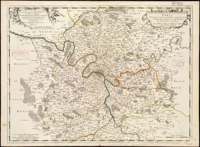
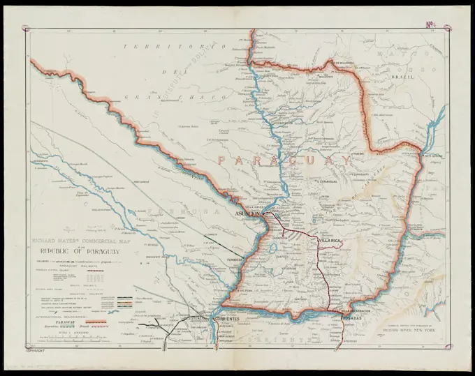
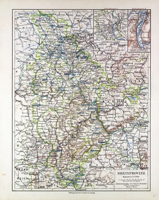
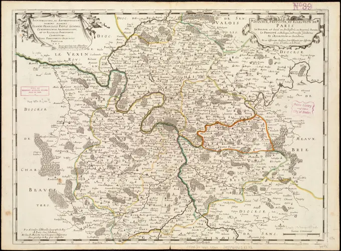
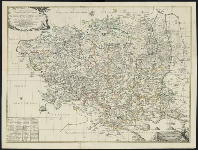
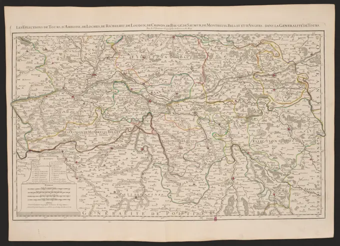
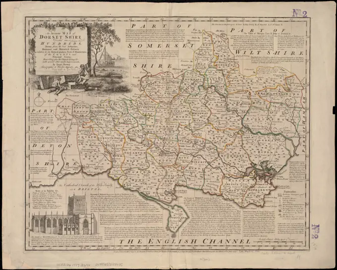
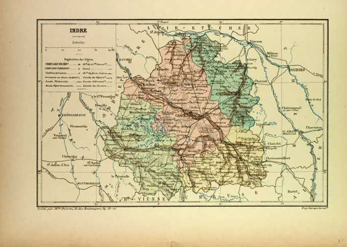
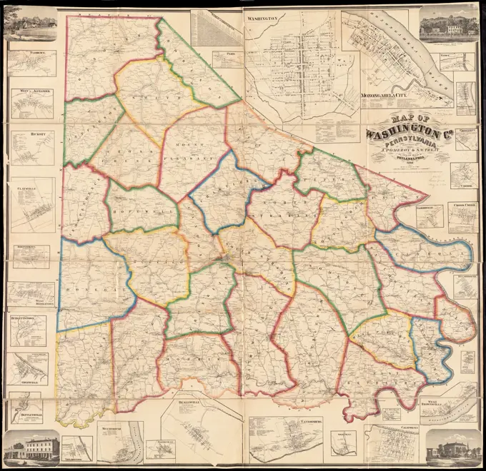
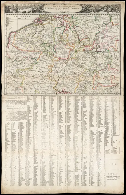
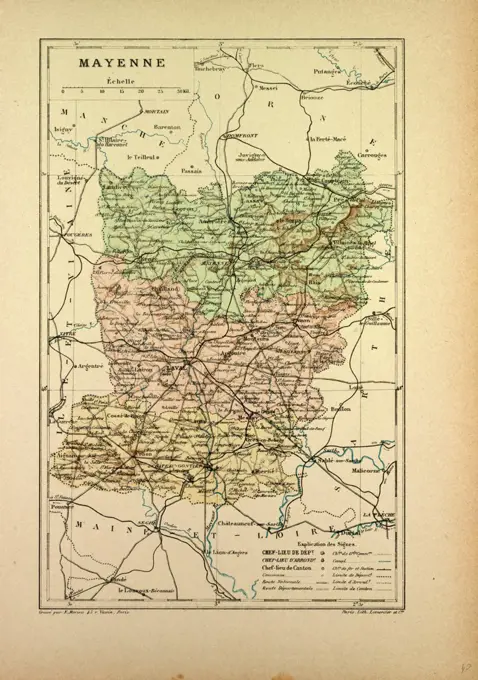
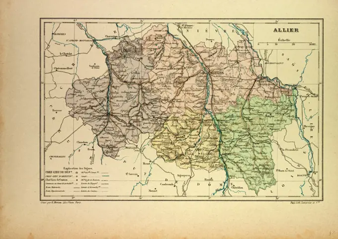
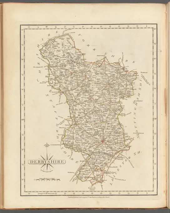
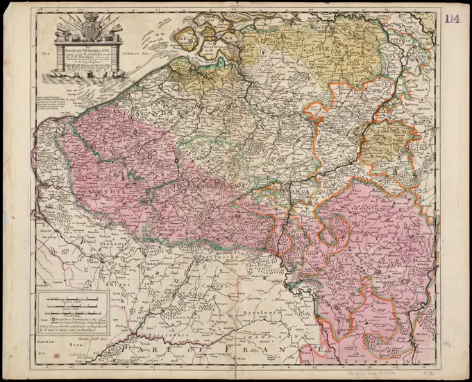
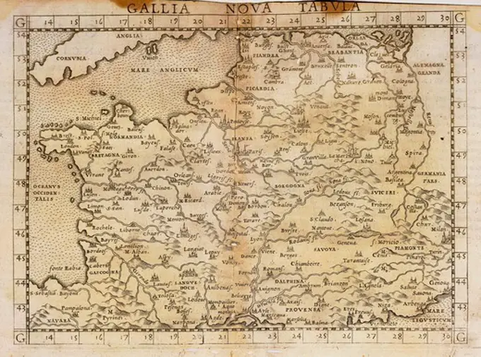
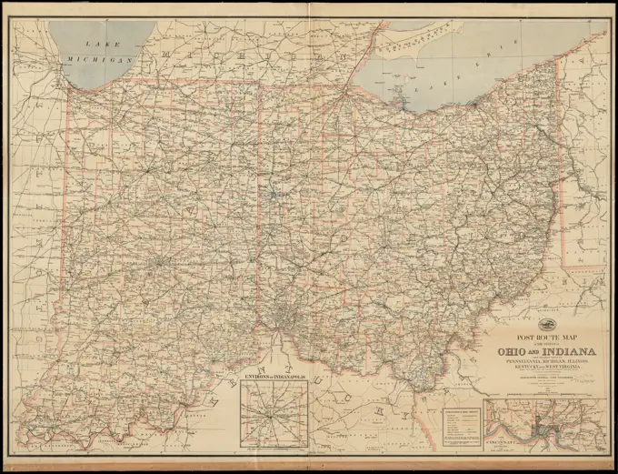
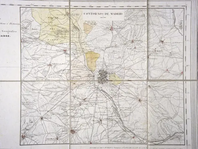
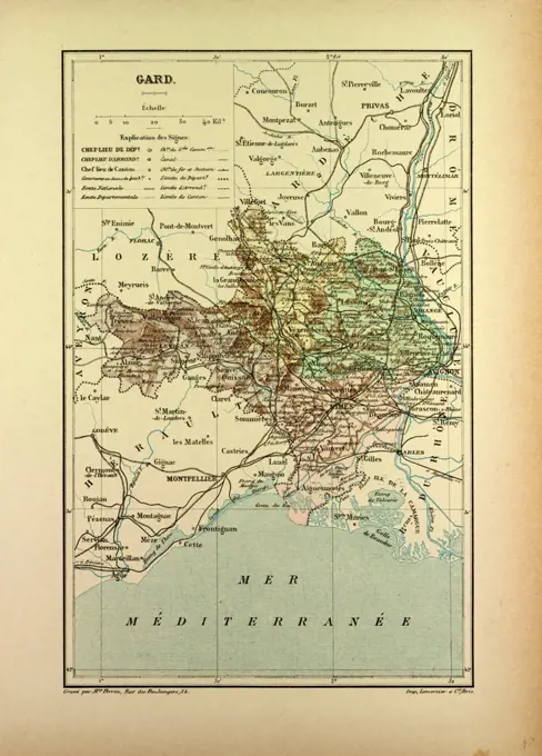
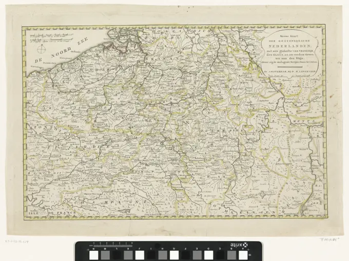
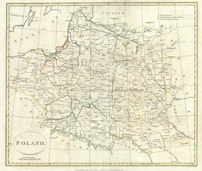
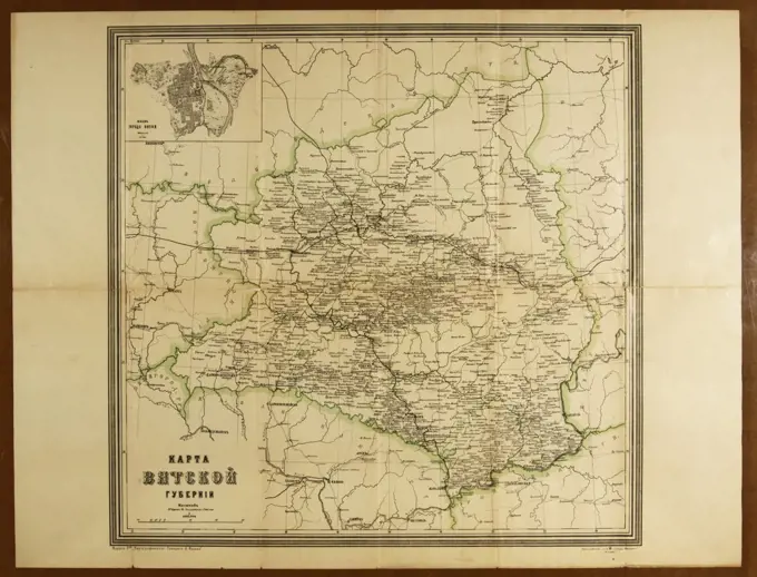
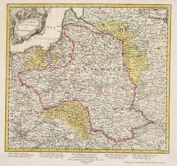
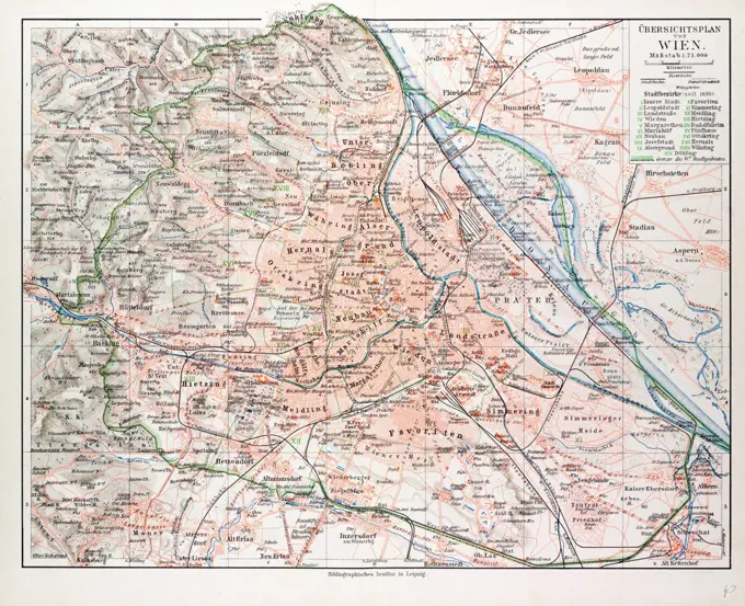
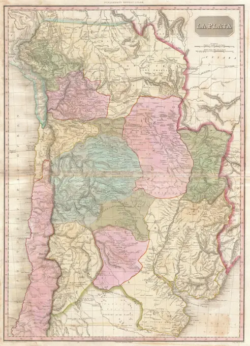
Historical Maps Collection

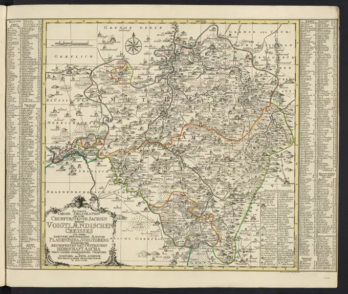
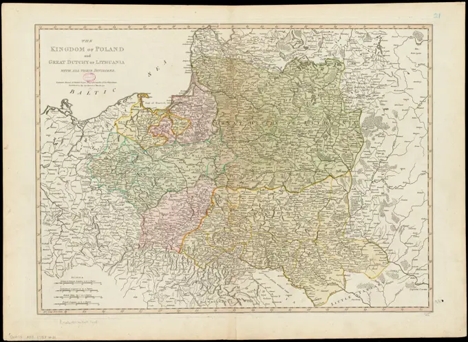
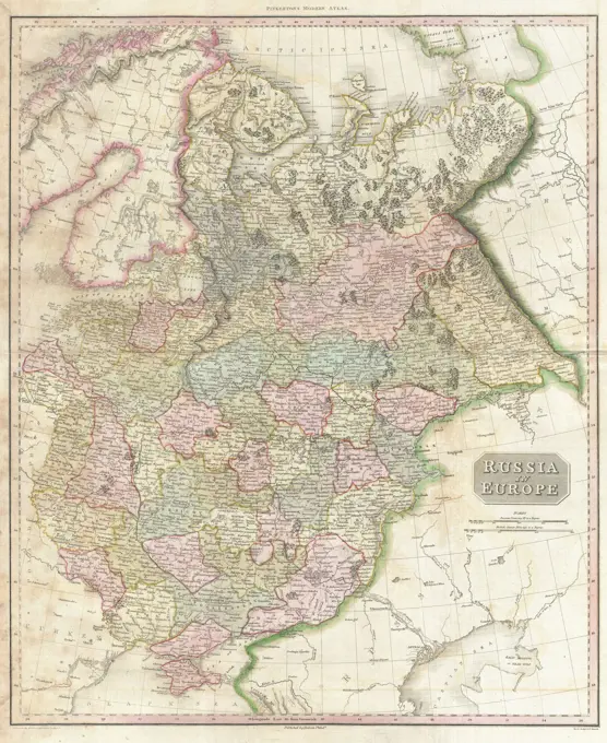
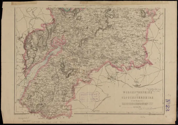
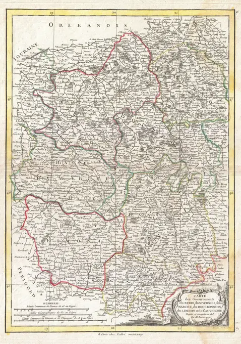
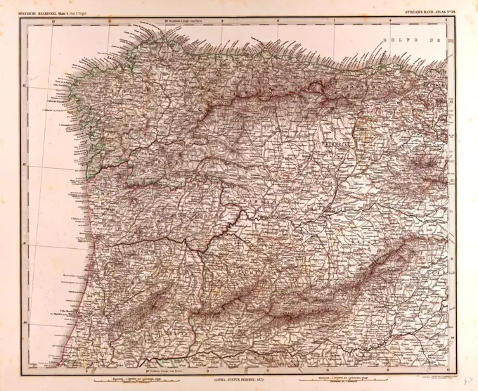
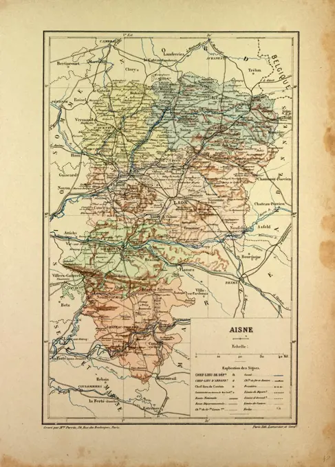
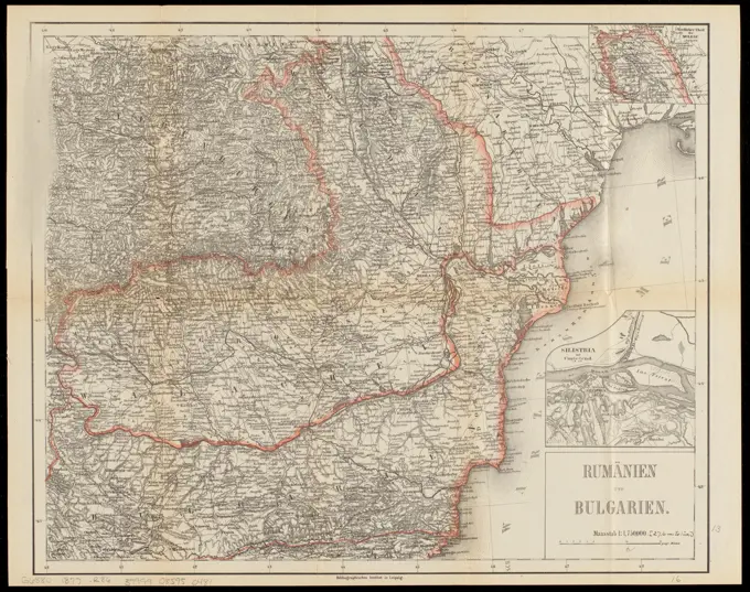
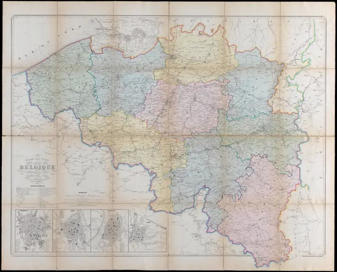
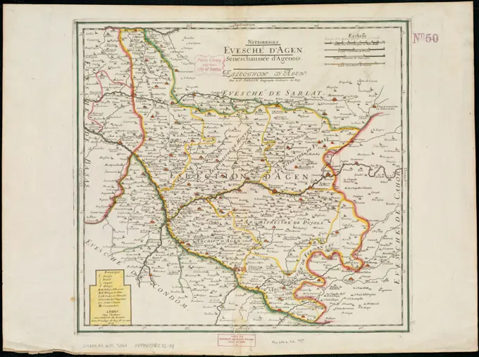
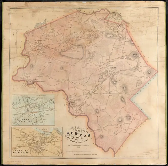
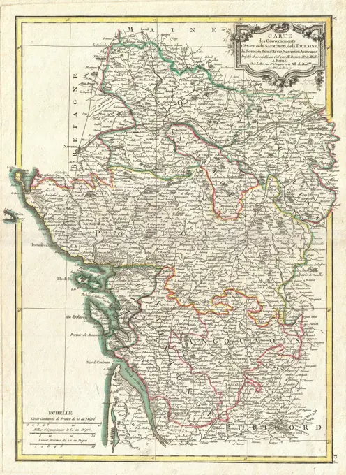
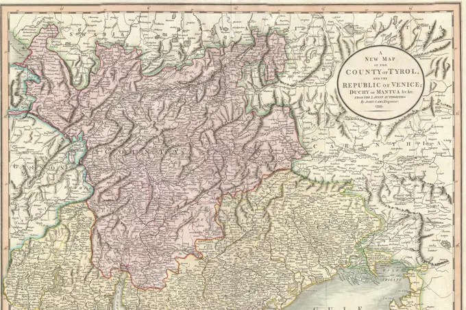
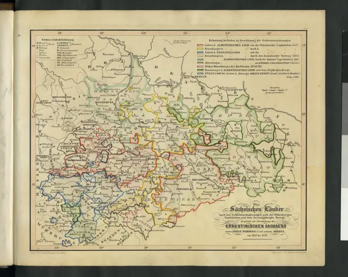
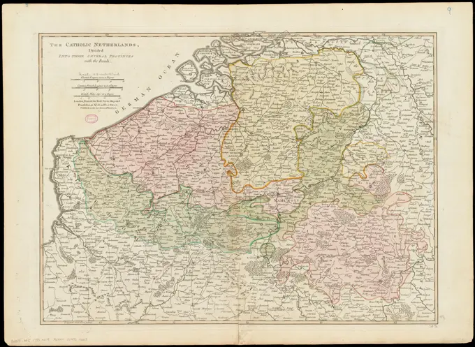
A collection of antique maps depicting various regions, including landscapes, roads, and borders, highlighted in detailed copper engravings from the 18th century.

The Catholic Netherlands, divided into their several provinces with the roads. Shows boundaries, rivers, roads, forest and settlements. Relief shown pictorially. Prime meridian: Ferro. Conservation of this piece was funded by Alan and Sherry Leventhal in memory of his father, Norman B. Leventhal whose vision to create this Map Center will inspire generations to come. Map 9 in a composite atlas with the title "Atlas of the world."... , Belgium Luxembourg