1771 Bonne Map of the Auvergne, Limosin, Bourbonnais, and Berri, France
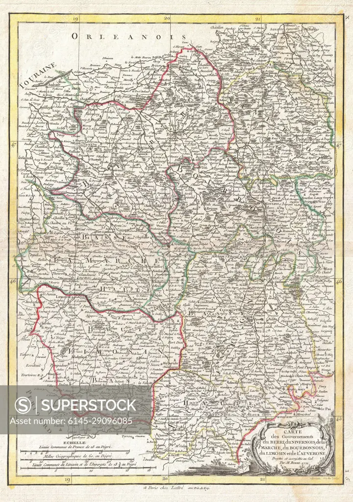
SuperStock offers millions of photos, videos, and stock assets to creatives around the world. This image of Antique Map of Burgundy, France: Historical Cartography and Regional Boundaries Analysis by Piemags/PL Photography Limited is available for licensing today.
Looking for a license?
Click here, and we'll help you find it! Questions? Just ask!
Click here, and we'll help you find it! Questions? Just ask!
DETAILS
Image Number: 6145-29096085Royalty FreeCredit Line:Piemags/PL Photography Limited/SuperStockCollection:PL Photography Limited Contributor:Piemags Model Release:NoProperty Release:NoResolution:2461×3500