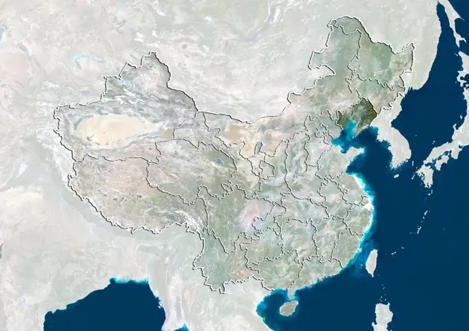
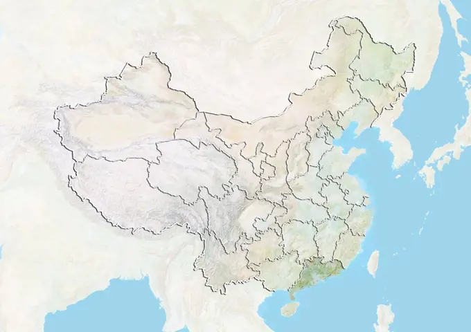
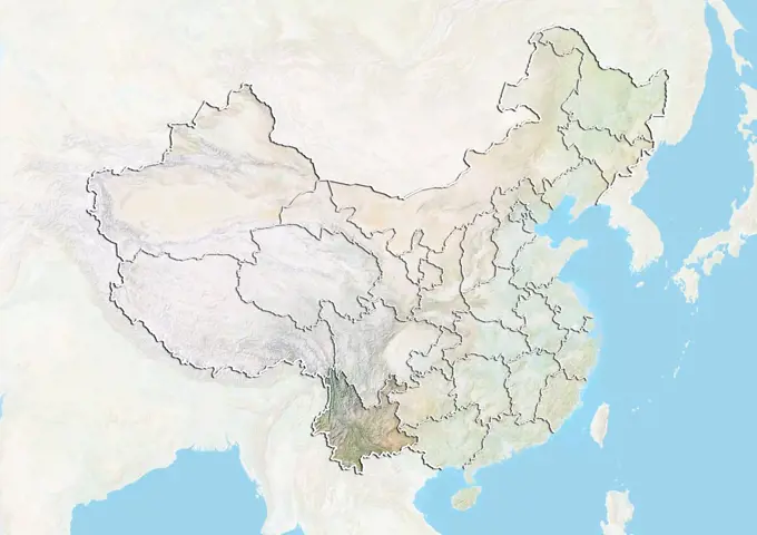
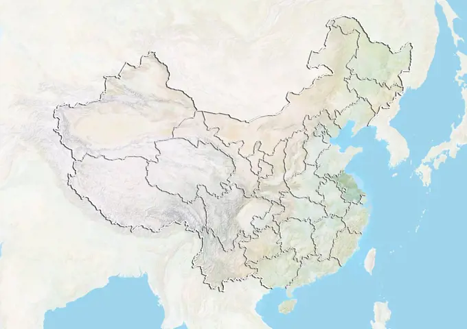
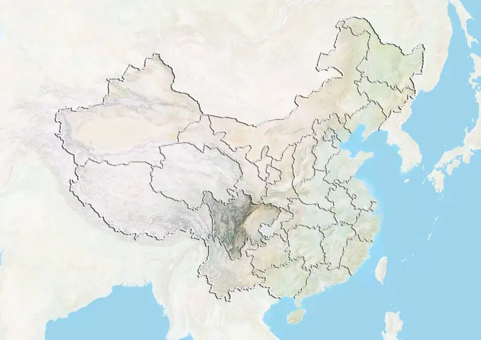
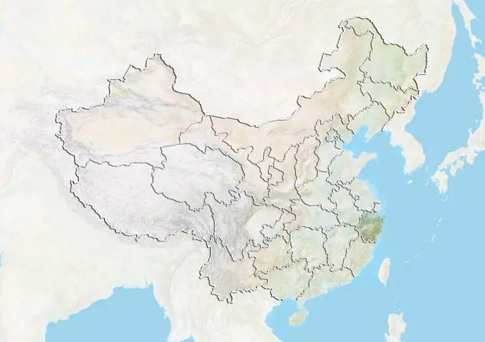
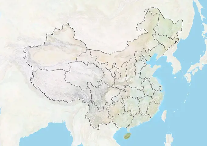
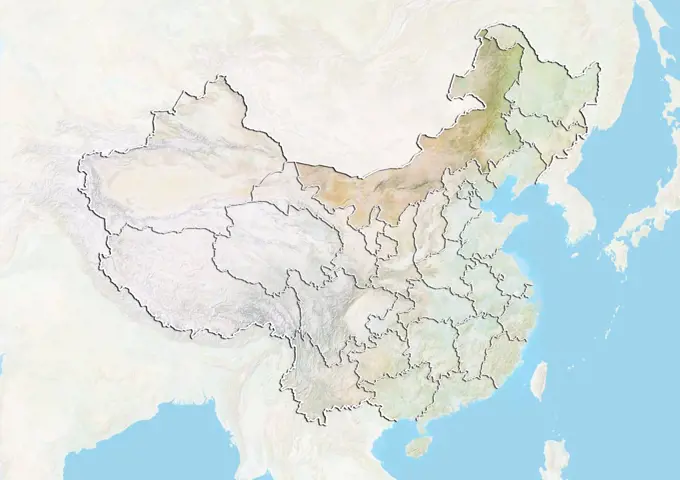
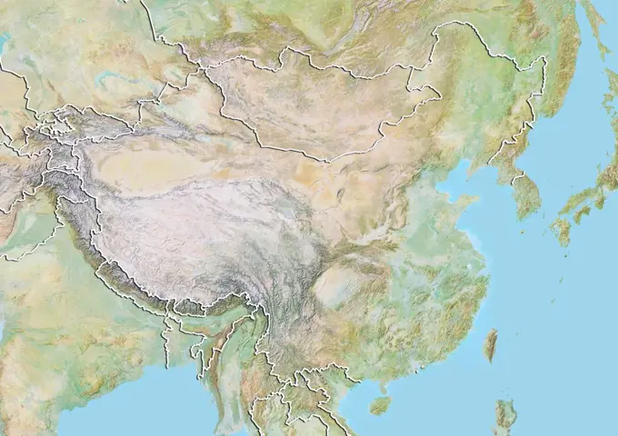
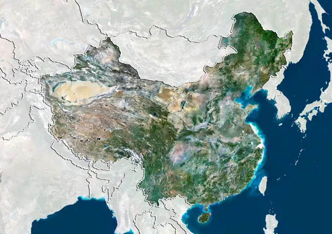
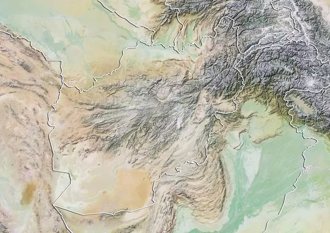
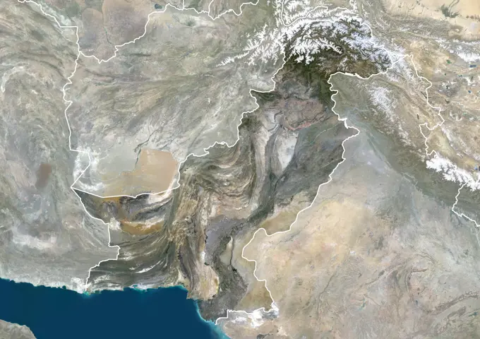
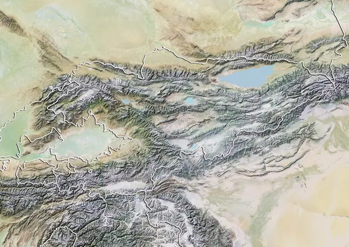
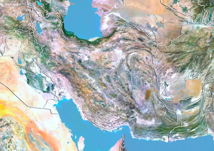
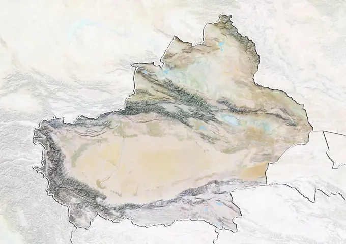
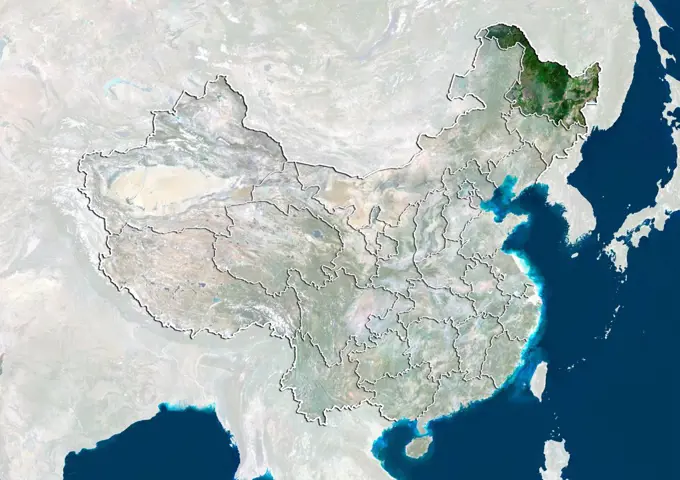
Satellite Maps of China
Various satellite views and relief maps of China, highlighting different provinces with detailed geographical features and elevation data.
Various satellite views and relief maps of China, highlighting different provinces with detailed geographical features and elevation data.