Lunar Exploration and Space Imagery

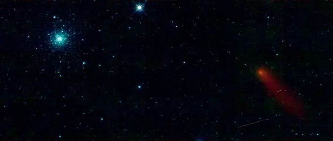
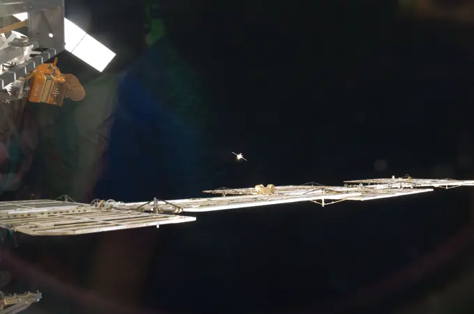
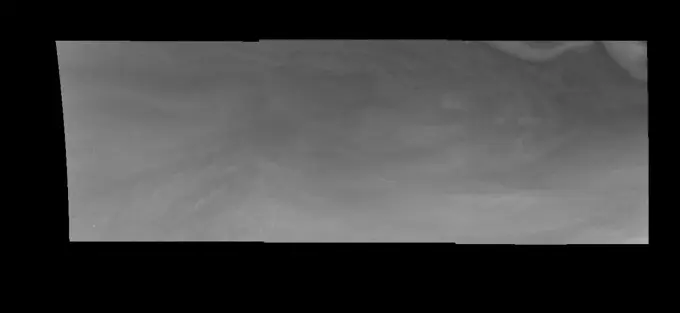
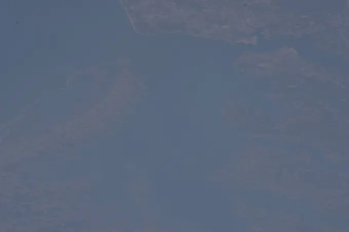
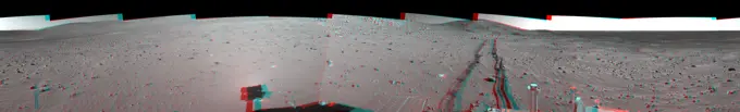
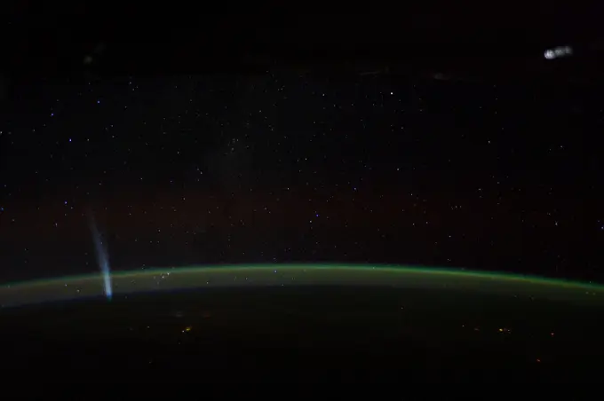
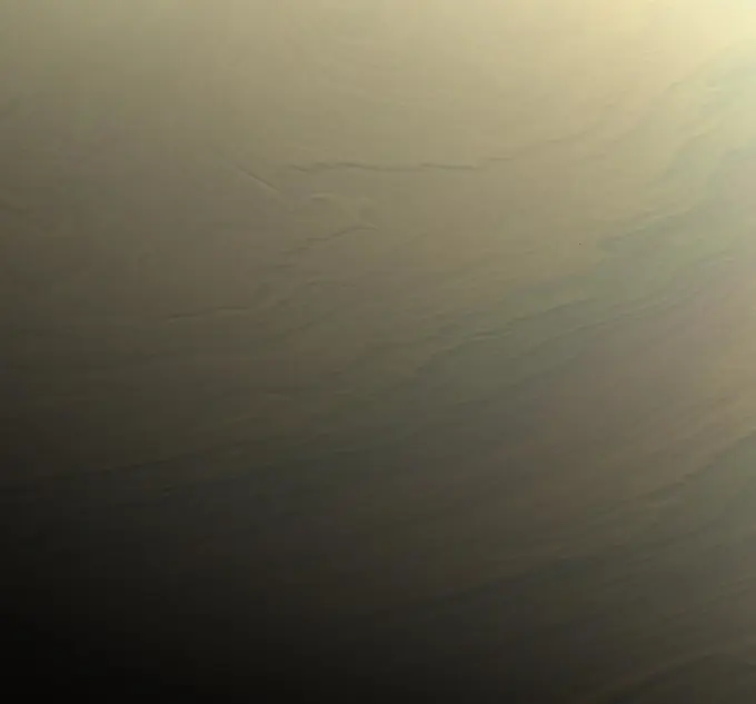
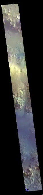
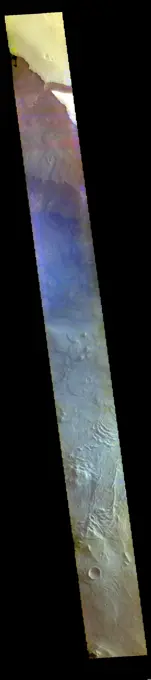
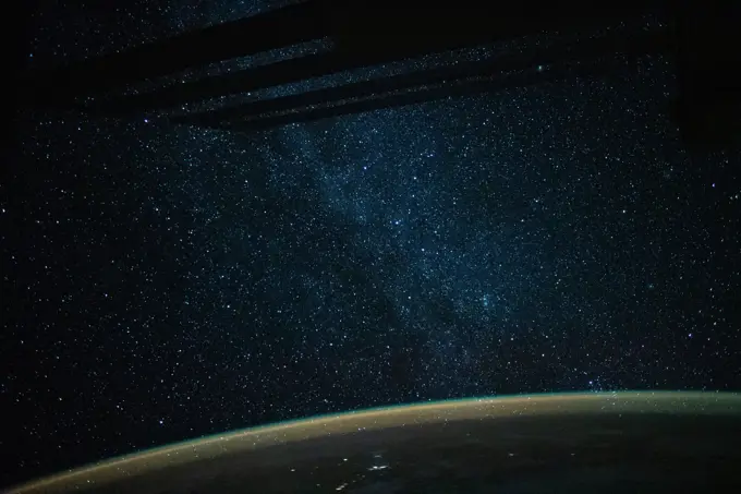
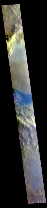
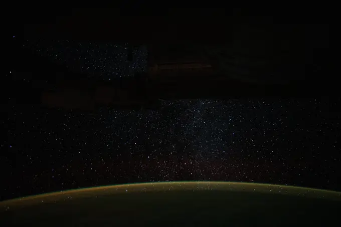
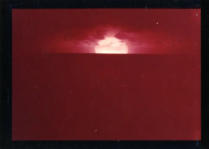
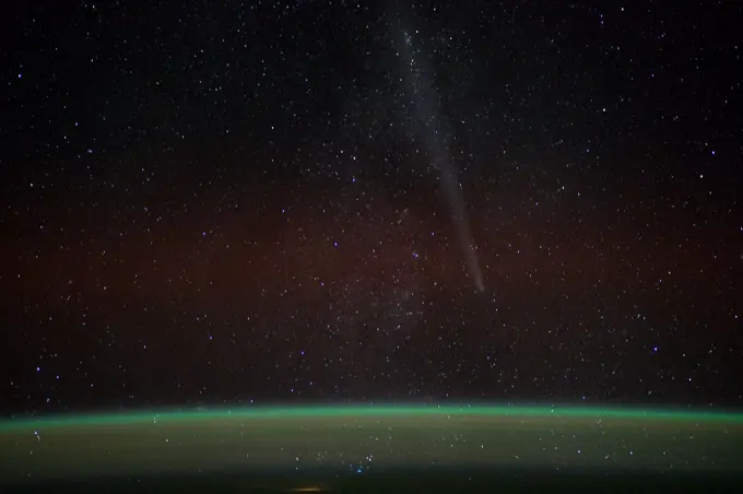
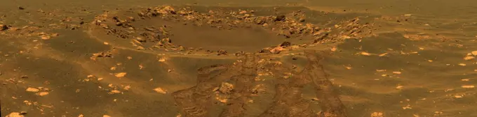
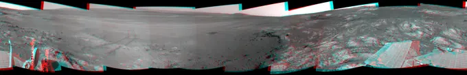
A collection depicting the Apollo 8 mission, with visuals of the Moon, astronauts, and cosmic phenomena, enhancing understanding of space and lunar geography.

Jupiter gas giant slowly orbiting in deep space concept panoramic. Some elements sourced from NASA public Domain.
This image from NASA's Wide-field Infrared Survey Explorer is a mosaic of 3 individual WISE frames spanning an area on the sky about 7 times the size of the full Moon in portions of the constellations Bootes and Canes Venatici.Jupiter gas giant slowly orbiting in deep space concept panoramic. Some elements sourced from NASA public Domain.Cydonia Region - Pass #2Real shoot of Orion constallation without any postprocessing improvementsCuriosity Views First Martian 'Sun Rays'. NASA's Curiosity Mars rover captured these sun rays shining through clouds at sunset on Feb. 2, 2023, the 3,730th Martian day, or sol, of the mission. It was the first time that sun rays, also known as crepuscular rays, have been viewed so clearly on Mars. Crepuscular is taken from the Latin word for twilight, as these rays appear near sunset or sunrise. These clouds were captured as part of a follow-on imaging campaign to study noctilucent, or night-shining clouds, which started in 2021. While most Martian clouds hover no more than 37 miles (60 kilometers) above the ground and are composed of water ice, these clouds appear to be higher in elevation, where it's very cold. That suggests these clouds are made of carbon dioxide, or dry ice. This scene made up of 28 individual images captured by the rover's Mast Camera, or Mastcam. The images have been processed to emphasize the highlights. https //photojournal.jpl.nasa.gov/catalog/PIA25739This 3-D cylindrical-perspective mosaic was created from navigation camera images that NASA's Mars Exploration Rover Spirit captured on on sol 124. 3D glasses are necessary to view this image.blue planet and stars - fractal imageISS032-E-010629 (28 July 2012) --- The unpiloted Russian Progress 47 resupply spacecraft is featured in this image photographed by an Expedition 32 crew member as it approaches the International Space Station for re-docking on July 28, 2012. The cargo ship temporarily undocked on July 22 in order to test the new Kurs-NA automated rendezvous system. Station solar array panels are visible in the foreground.Today's VIS image is located along the edge of the north polar cap. The ice of the cap covers most of the image, with only the upper 1/4 of the image showing the ice free plains. Dunes cover most of the plains and are 'climbing' up onto the cap. This region of dunes in near Olympia Undae, the immense sand sea that surrounds part of the polar cap. Orbit Number 80094 Latitude 83.6465 Longitude 118.114 Instrument VIS Captured 2020-01-04 06 40This VIS image shows a small part of the extensive volcanic plains located east of Olympus Mons. The THEMIS VIS camera contains 5 filters. The data from different filters can be combined in multiple ways to create a false color image. These false color images may reveal subtle variations of the surface not easily identified in a single band image. Orbit Number 60918 Latitude 20.5787 Longitude 239.913 Instrument VIS Captured 2015-09-07 17 55Earth Observations taken by Expedition 34 crewmember.Jupiter's Equatorial Region in Violet Light (Time Set 1)The THEMIS VIS camera contains 5 filters. The data from different filters can be combined in multiple ways to create a false color image. These false color images may reveal subtle variations of the surface not easily identified in a single band image. Today's false color image shows part of Daedalia Planum. The pale blue surfaces are thought to be early morning ground frost. This image was collected during the winter season. Orbit Number 71758 Latitude -15.7206 Longitude 216.767 Instrument VIS Captured 2018-02-16 17 10Earth Observations taken by Expedition 34 crewmember.This full-circle, stereo panorama shows the terrain around the NASA Mars Exploration Rover Opportunity during the 3,105th Martian day, or sol, of the rover's work on Mars (Oct. 18, 2012). It was assembled from images taken by the rover's navigation camera. The view appears in three dimensions when viewed through red-blue glasses with the red lens on the left. South is at the center. North is on both ends. Opportunity had driven about 61 feet (18.5 meters) westward earlier on Sol 3105 to reach this location, which is on the northern portion of Matijevic Hill on the Cape York segment of the western rim of Endeavour Crater. The wheel tracks created by the drive are visible. For scale, the distance between the two parallel tracks is about 3.3 feet (1 meter). The basin of Endeavour Crater is in the left half of the image. Opportunity has been working on the western rim of Endeavour since mid-2011. The stereo panorama is presented as a cylindrical-perspective projection. http //photojournal.This site, labeled Spirit site 93, is in the 'Columbia Hills' inside Gusev Crater. NASA's Mars Exporation rover Spirit's tracks point westward. 3D glasses are necessary to view this image.ISS030-E-014312 (21 Dec. 2011) --- Comet Lovejoy is visible near Earths horizon in this nighttime image photographed by NASA astronaut Dan Burbank, Expedition 30 commander, onboard the International Space Station on Dec. 21, 2011.Mars Earth Entry System Aeroshell at Entry (Illustration). This illustration depicts the Mars Earth Entry System for the Mars Sample Return campaign. The system would contain the orbiting sample inside a disk-shaped vehicle with a heat shield for safe entry through the Earth's atmosphere. NASA's Mars Sample Return (MSR) will revolutionize our understanding of Mars by returning scientifically-selected samples for study using the most sophisticated instruments around the world. The mission will fulfill a solar system exploration goal as identified by the National Academy of Sciences. This strategic partnership with the European Space Agency (ESA) will be the first mission to return samples from another planet, including the first launch from the surface of another planet. These samples collected by Perseverance during its exploration of an ancient river-delta are thought to be the best opportunity to reveal the early evolution of Mars, including the potential for life.Earth observation taken during a night pass by an Expedition 36 crew member on board the International Space Station (ISS). Per Twitter message Orion.Project 30-18 - Operation Upshot/Knothole (Nevada Test Site) Detonation. NANCY blast and fireball, aerial view (3 of 3). Photographs of Atmospheric Nuclear Testing at Pacific Island and Nevada Test Sites.NASA's Cassini spacecraft gazed toward the northern hemisphere of Saturn to spy subtle, multi-hued bands in the clouds there. This view looks toward the terminator -- the dividing line between night and day -- at lower left. The sun shines at low angles along this boundary, in places highlighting vertical structure in the clouds. Some vertical relief is apparent in this view, with higher clouds casting shadows over those at lower altitude. Images taken with the Cassini spacecraft narrow-angle camera using red, green and blue spectral filters were combined to create this natural-color view. The images were acquired on Aug. 31, 2017, at a distance of approximately 700,000 miles (1.1 million kilometers) from Saturn. Image scale is about 4 miles (6 kilometers) per pixel.This 3-D cylindrical-perspective mosaic was created from navigation camera images that NASA's Mars Exploration Rover Spirit captured on on sol 103. 3D glasses are necessary to view this image.The Cassini spacecraft gazes down through the dark side of Saturn's rings toward the softly glowing planet. The night side southern hemisphere is lit by sunlight reflecting off the opposite side of the ringsnight sky with orion An image of the night sky with orion Copyright: xZoonar.com/magannx 10375698The THEMIS VIS camera contains 5 filters. The data from different filters can be combined in multiple ways to create a false color image. These false color images may reveal subtle variations of the surface not easily identified in a single band image. Today's false color image shows a cross section of Gale Crater, including the large layered deposit on the crater floor. The Curiosity Rover is located in Gale Crater. Gale crater is 150km (90 miles) in diameter. Orbit Number 78672 Latitude -5.332 Longitude 138.139 Instrument VIS Captured 2019-09-09 04 00This 3-D cylindrical-perspective mosaic was created from navigation camera images that NASA's Mars Exploration Rover Spirit captured on on sol 93. 3D glasses are necessary to view this image.This false color image is located within Melas Chasma. The lobate forms at the bottom of the image are the remnants of landslides that crashed from the top of the cliff sides to the bottom of the chasma, a distance of 9km (5.5 miles). This distance is equivalent to the height of Mount Everest - the tallest land based mountain in the world. The THEMIS VIS camera contains 5 filters. The data from different filters can be combined in multiple ways to create a false color image. These false color images may reveal subtle variations of the surface not easily identified in a single band image. Orbit Number 62002 Latitude -10.1885 Longitude 289.797 Instrument VIS Captured 2015-12-06 00 12The Earth from space showing all they beauty. Elements of this image are furnished by NASA. Our unique universeiss060e022358 (Aug. 4, 2019) --- The Milky Way lights up an orbital night pass as the International Space Station orbited 257 miles above the Coral Sea in between Australia and Papua New Guinea. The atmospheric glow highlights Earth's limb below.Part of a large crater fills the center of this VIS image. In this false color image the dark blue material is basaltic sand. The sands are located between the crater rim and a large mound of material on the floor of the crater. The THEMIS VIS camera contains 5 filters. The data from different filters can be combined in multiple ways to create a false color image. These false color images may reveal subtle variations of the surface not easily identified in a single band image. Orbit Number 60626 Latitude 1.14687 Longitude 26.4337 Instrument VIS Captured 2015-08-14 16 43The THEMIS camera contains 5 filters. The data from different filters can be combined in multiple ways to create a false color image. This image captured by NASA's 2001 Mars Odyssey spacecraft shows part of the floor of Galle Crater.Project 30-18 - Operation Upshot/Knothole (Nevada Test Site) Detonation. HARRY fireball: series of 4 aerial photos (2 of 4). Photographs of Atmospheric Nuclear Testing at Pacific Island and Nevada Test Sites.This 360-degree three dimensional anaglyph view from NASA's Mars Exploration Rover Spirit highlights Gusev crater on sol 147. 3D glasses are necessary to view this image.This image is located in northern Noachis Terra. Evros Vallis is located just below the large crater at the top of the image. The THEMIS VIS camera contains 5 filters. The data from different filters can be combined in multiple ways to create a false color image. These false color images may reveal subtle variations of the surface not easily identified in a single band image. Orbit Number 62336 Latitude -12.8197 Longitude 12.5078 Instrument VIS Captured 2016-01-02 12 21Albumin paper photograph by Johann Victor Krämer showing a collection of artists' templates, including preparatory sketches and compositional studies in the studio around 1900.The masts of high -voltage liberation can be seen in front of a panoramic interior of clouds. The masts of high -voltage liberation can be seen in front of a panoramic interior of clouds.Tooth decay on black background. Macro shot of a decayed teeth till root after extraction of dentist. Real tooth anatomy due lack of care. Top view of caries teeth texture on black paper. Dental care.ISS026-E-027287 (16 Feb. 2011) --- The Expedition 26 crew member aboard the International Space Station who snapped this photograph of the Ariane 5 rocket (faint squiggly vertical form in the midst of darkness above the clouds), just after lift off from Europes Spaceport in Kourou, French Guiana, and the rest of the crew have a special interest in the occurrence.   ESAs second Automated Transfer Vehicle, Johannes Kepler, was just a short time earlier (21:50 GMT or 18:50 Kourou time on Feb. 16, 2011) launched toward its approaching low orbit destination and its eventual link-up with the ISS. The unmanned supply ship is planned to deliver critical supplies and reboost the space station during its almost four-month mission.Colorful space shot of milky way galaxy with stars on a night sky backgroundThis STS-46 onboard photo is of the Tethered Satellite System-1 (TSS-1) being deployed from its boom as it is perched above the cargo bay of the Earth-orbiting Space Shuttle Atlantis. Circling the Earth at an altitude of 296 kilometers (184 miles), the TSS-1 will be well within the tenuous, electrically charged layer of the atmosphere known as the ionosphere. There, a satellite attached to the orbiter by a thin conducting cord, or tether, will be reeled from the Shuttle payload bay. On this mission the satellite was plarned to be deployed 20 kilometers (12.5 miles) above the Shuttle. The conducting tether will generate high voltage and electrical currents as it moves through the atmosphere allowing scientists to examine the electrodynamics of a conducting tether system. These studies will not only increase our understanding of physical processes in the near-Earth space environment, but will also help provide an explanation for events witnessed elsewhere in the solar system. The crew ofEroded Crater Adjacent to Huygens Impact BasinEarth from space. Elements of this image furnished by NASA. 3d rendering. Earth from spaceiss060e002064 (June 29, 2019) -- A starry Milky Way glitters above Earth's tranquil atmospheric glow as the International Space Station orbited 266 miles above the Pacific Ocean off the northwest coast of New Zealand.Galaxy stars night sky. Galaxy stars in night sky. Space astrophotography. Galaxy stars night skyProject 20 - Operation Greenhouse (Enewetak) Detonation. Easy Fireball, View Over Ocean. Photographs of Atmospheric Nuclear Testing at Pacific Island and Nevada Test Sites.Project 24 - Operation Hardtack (Enewetak/Bikini/Johnnston Island Area) Detonation. WAHOO detonation: series of 27 photos, aerial view of burst & base surge (17 of 27). Photographs of Atmospheric Nuclear Testing at Pacific Island and Nevada Test Sites.Telesto: Companion of Tethys. Lunae Planum - False Color. The THEMIS VIS camera contains 5 filters. The data from different filters can be combined in multiple ways to create a false color image. These false color images may reveal subtle variations of the surface not easily identified in a single band image. Today's false color image shows part of Lunae Planum. The THEMIS VIS camera is capable of capturing color images of the Martian surface using five different color filters. In this mode of operation, the spatial resolution and coverage of the image must be reduced to accommodate the additional data volume produced from using multiple filters. To make a color image, three of the five filter images (each in grayscale) are selected. Each is contrast enhanced and then converted to a red, green, or blue intensity image. These three images are then combined to produce a full color, single image. Because the THEMIS color filters don't span the full range of colors seen by the human eye, a color THEMIS image does notProject 22 - Operation Castle (Bikini/Enewetak) Detonation. Yankee Fireball, Aerial View. (3 of 3). Photographs of Atmospheric Nuclear Testing at Pacific Island and Nevada Test Sites.This 360-degree panorama is composed of 354 images taken by the Opportunity rover's Panoramic Camera (Pancam) from May 13 through June 10, 2018, or sols (Martian days) 5,084 through 5,111. This is the last panorama Opportunity acquired before the solar-powered rover succumbed to a global Martian dust storm on the same June 10. This version of the scene is presented in approximate true color. To the right of center and near the top of the frame, the rim of Endeavour Crater rises in the distance. Just to the left of that, rover tracks begin their descent from over the horizon towards the location that would become Opportunity's final resting spot in Perseverance Valley, where the panorama was taken. At the bottom, just left of center, is the rocky outcrop Opportunity was investigating with the instruments on its robotic arm. To the right of center and halfway down the frame is another rocky outcrop - about 23 feet (7 meters) distant from the camera - called Ysleta del Sur, which OpportunSpace ShuttleA Magnetar is a special kind of a pulsar, which is a very small, compact neutron star that periodically emits lightLight blue clouds fill Coprates Chasma on Mars, part of Valles Marineris, the vast 'Grand Canyon of Mars.' The clouds are mostly ice crystals and they appear blue in color in this image from NASA's Mars Odyssey.This 3-D view from the navigation camera on NASA's Mars Exploration Rover Opportunity shows a vista across Endeavour Crater, with the rover's own shadow in the foreground.ISS014-E-06541 (26 Oct. 2006) --- Backdropped by the blackness of space, an unpiloted Progress supply vehicle approaches the International Space Station. Progress docked to the aft port of the Zvezda Service Module at 9:29 a.m. (CDT) on Oct. 26. This photo shows the Kurs antenna (left side of vehicle from viewer's angle) that concerned flight directors prior to final latching.Far being shone nebula and star field against space. "Elements of this image furnished by NASA".This VIS image shows part of Meridiani Planum. The THEMIS VIS camera contains 5 filters. The data from different filters can be combined in multiple ways to create a false color image. These false color images may reveal subtle variations of the surface not easily identified in a single band image. Orbit Number 61051 Latitude 2.87225 Longitude 5.49283 Instrument VIS Captured 2015-09-18 16 40The 'brown' in this VIS image is part of the ejecta surrounding Escorial Crater. The material of the ejecta blanket is much more resistant to local winds and remains as a plateau above the lower elevation plains. Sand dunes fields are very common around the north pole. The dunes in this image are part of Hyperboreae Undae. The THEMIS VIS camera contains 5 filters. The data from different filters can be combined in multiple ways to create a false color image. These false color images may reveal subtle variations of the surface not easily identified in a single band image. Orbit Number 60523 Latitude 77.7042 Longitude 304.675 Instrument VIS Captured 2015-08-06 05 44Earth observation taken during a day pass by the Expedition 40 crew aboard the International Space Station (ISS). Folder lists this as Phenomenon over Northern Russia - 1 of 2.This VIS image shows some of the plains and craters located in Arcadia Planitia. The THEMIS VIS camera contains 5 filters. The data from different filters can be combined in multiple ways to create a false color image. These false color images may reveal subtle variations of the surface not easily identified in a single band image. Orbit Number 61357 Latitude 38.855 Longitude 172.318 Instrument VIS Captured 2015-10-13 21 39The THEMIS VIS camera contains 5 filters. The data from different filters can be combined in multiple ways to create a false color image. These false color images may reveal subtle variations of the surface not easily identified in a single band image. Today's false color image shows part of Margaritifer Terra just east of Ares Vallis. If you look closely at the bottom of the image, you will see spots of purple and yellow, with similar 'shapes'. These features are not image artifacts. These are clouds. When this image was collected there were high altitude ice clouds being blown across the sky, moving fast enough to reach a different location between the time each filter was collected. Color VIS images are typically the only image type where ice clouds can be identified. The THEMIS VIS camera is capable of capturing color images of the Martian surface using five different color filters. In this mode of operation, the spatial resolution and coverage of the image must be reduced to accomToday's false color image shows the margin between the north polar cap and the surrounding plains. The polar cap was created by alternating layers of ice and dust, deposited over millions of years during different seasons. The THEMIS VIS camera contains 5 filters. The data from different filters can be combined in multiple ways to create a false color image. These false color images may reveal subtle variations of the surface not easily identified in a single band image. Orbit Number 63466 Latitude 78.6349 Longitude 349.132 Instrument VIS Captured 2016-04-04 14 40Earth from space, computer illustration.Zodiacal light and Milky Way to France in SeptemberISS030-E-017836 (27 Dec. 2011) --- Almost a week after first sighting in the night sky, Comet Lovejoy is visible to the six astronauts and cosmonauts currently aboard the International Space Station.  An 85-mm focal length was used to record the image.'Payson' Panorama by OpportunityStar Trail. Terra Sirenum - False Color. The THEMIS VIS camera contains 5 filters. The data from different filters can be combined in multiple ways to create a false color image. These false color images may reveal subtle variations of the surface not easily identified in a single band image. Today's false color image shows part of Terra Sirenum. The THEMIS VIS camera is capable of capturing color images of the Martian surface using five different color filters. In this mode of operation, the spatial resolution and coverage of the image must be reduced to accommodate the additional data volume produced from using multiple filters. To make a color image, three of the five filter images (each in grayscale) are selected. Each is contrast enhanced and then converted to a red, green, or blue intensity image. These three images are then combined to produce a full color, single image. Because the THEMIS color filters don't span the full range of colors seen by the human eye, a color THEMIS image does nThe sun descends to the Martian horizon and sets in this image from the panoramic camera (Pancam) on NASA's Mars Exploration Rover Opportunity. A movie is available at the Photojournal.This view in approximately true colour reveals details in an impact crater informally named Fram in the Meridian Planum region of Mars. The picture is a mosaic of frames taken by the panoramic camera on NASAs Mars Exploration Rover Opportunity during the rovers 88th Martian day on Mars, on April 23, 2004. The crater spans about 8 meters (26 feet) in diameter. Opportunity paused beside it while traveling from the rovers landing site toward a larger crater farther east. This view combines images taken using three of the cameras filters for different wavelengths of light: 750 nanometres, 530 nanometres and 430 nanometresEarth Observation taken during a day pass by the Expedition 40 crew aboard the International Space Station (ISS). Folder lists this as Africa.This full-circle, 3-D panorama shows the terrain around the NASA Mars Exploration Rover Opportunity on part of a relatively flat, light-toned outcrop called 'Whitewater Lake.' The basin of Endeavour Crater is in the left half of the image.