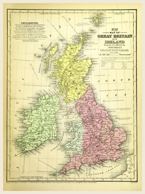
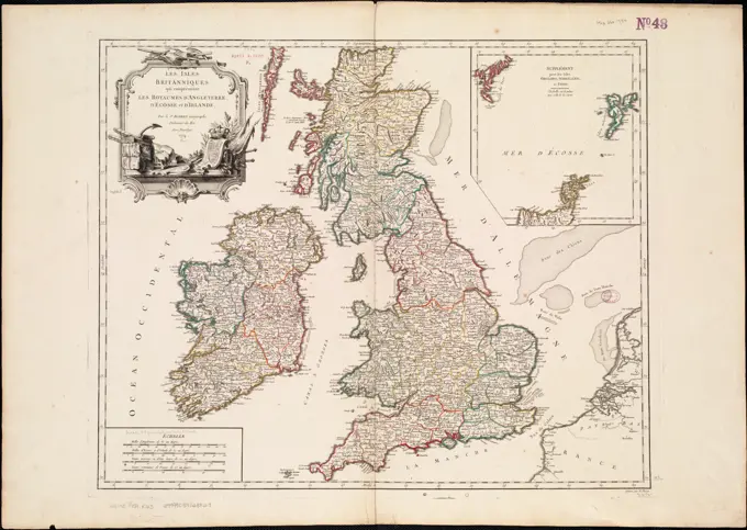
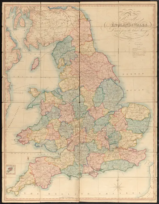
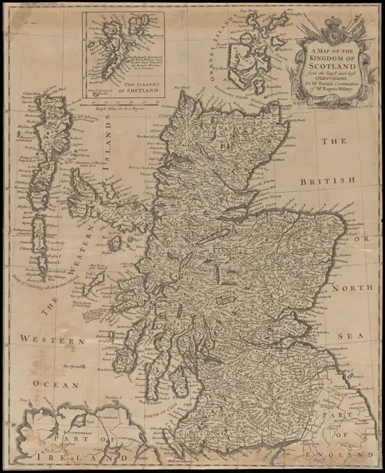
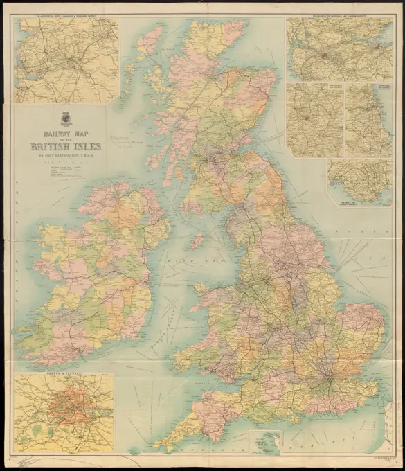
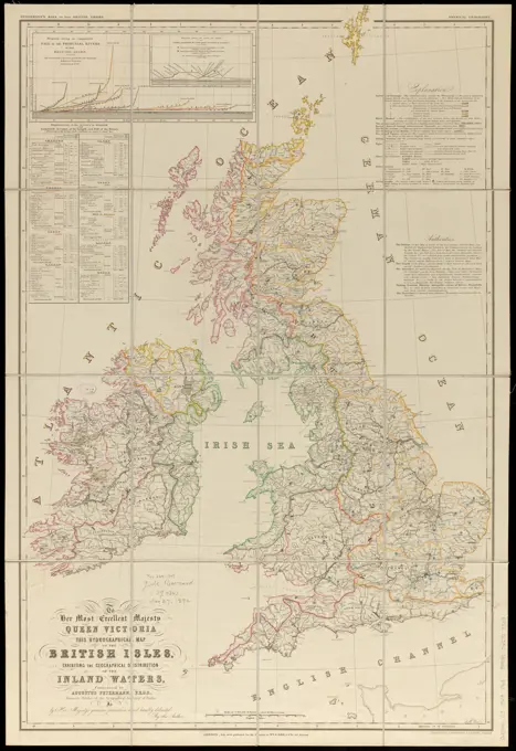
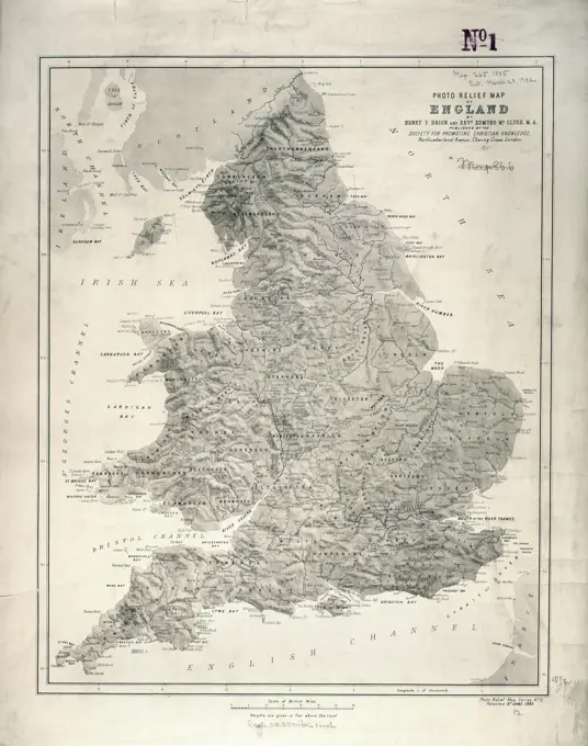
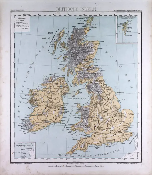
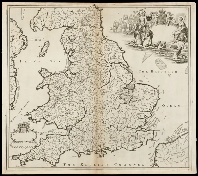
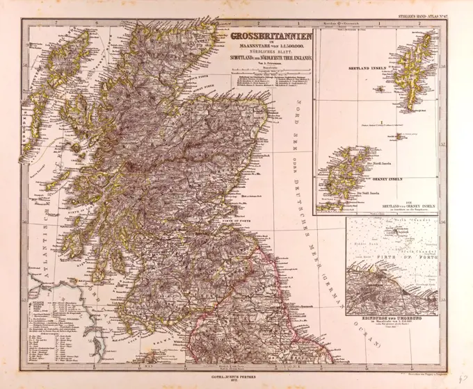
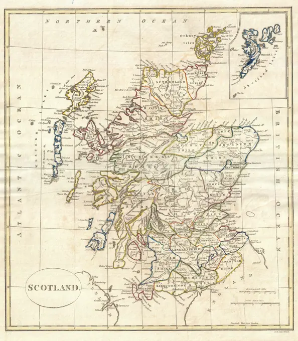
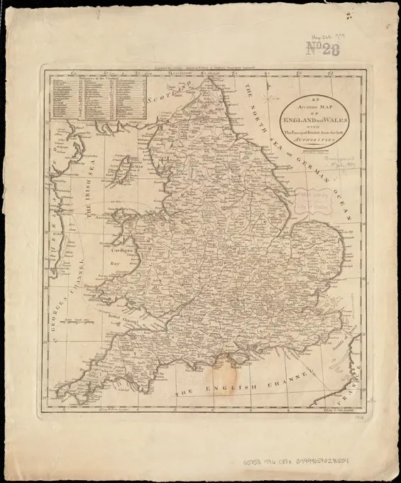
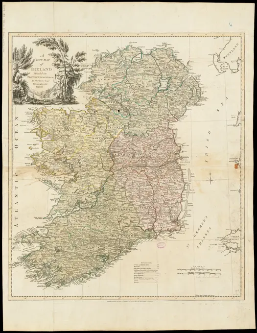
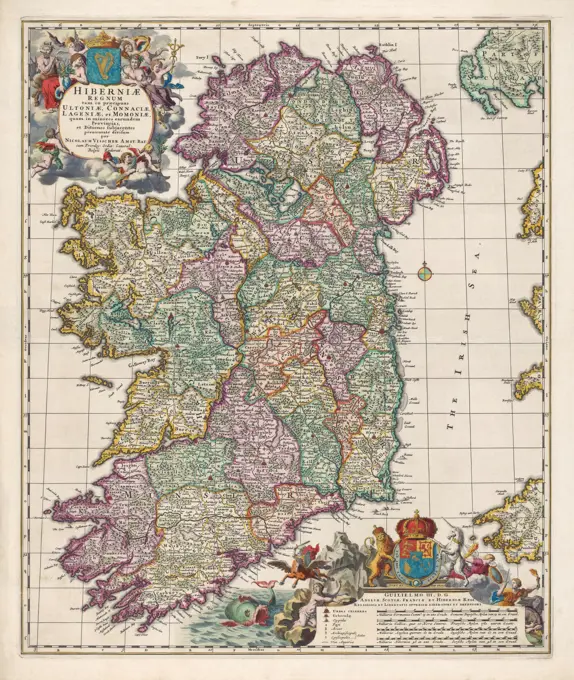
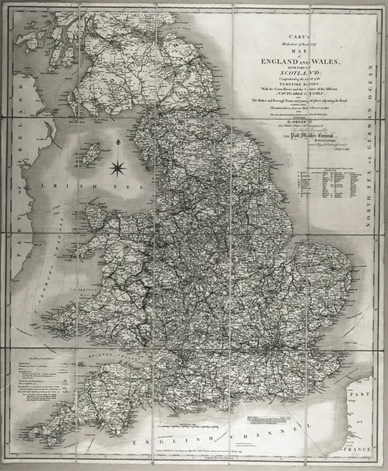
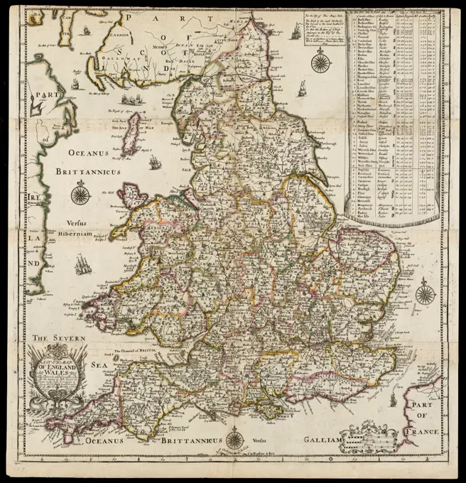
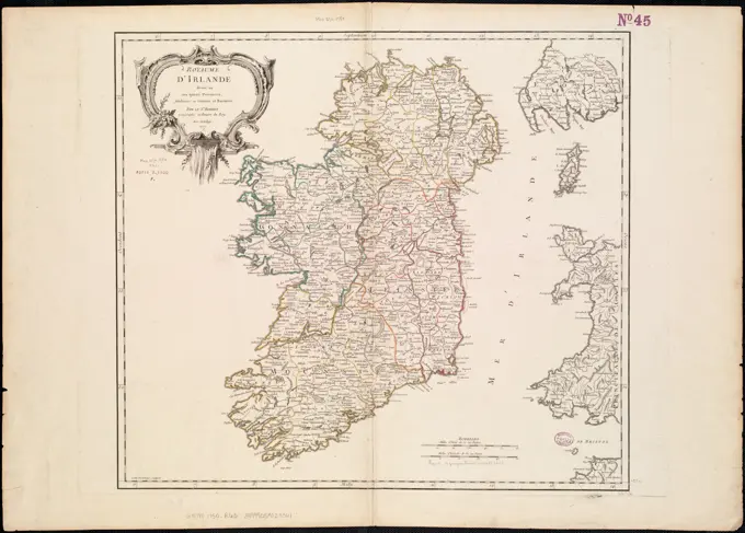
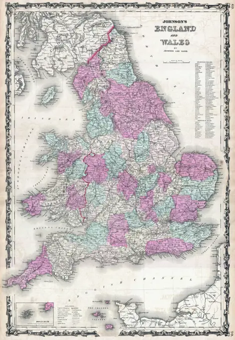
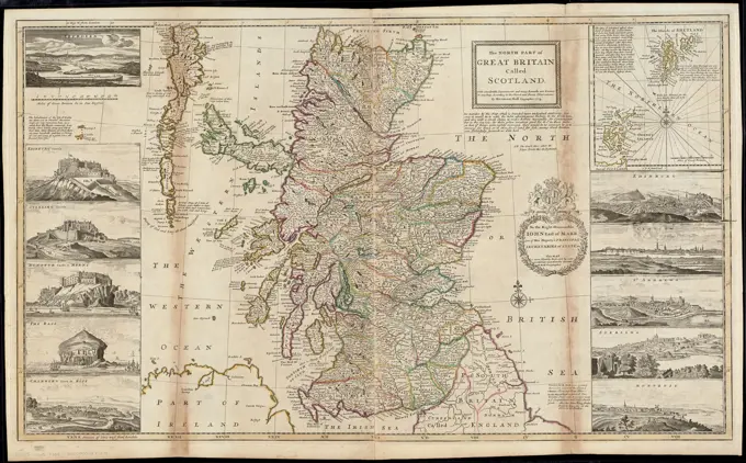
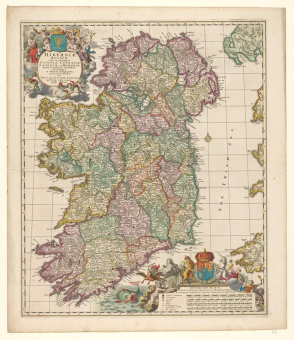
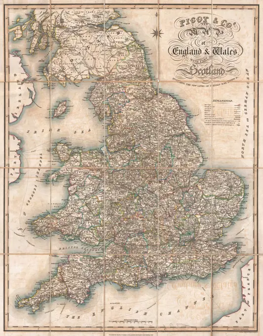
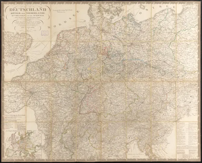
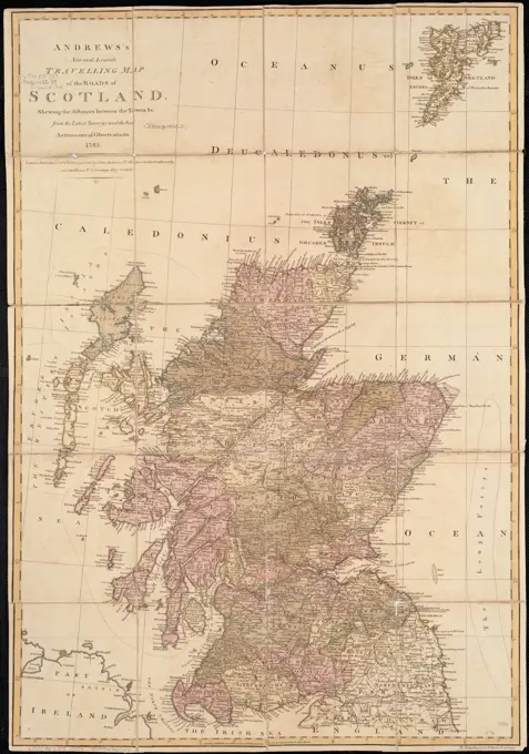
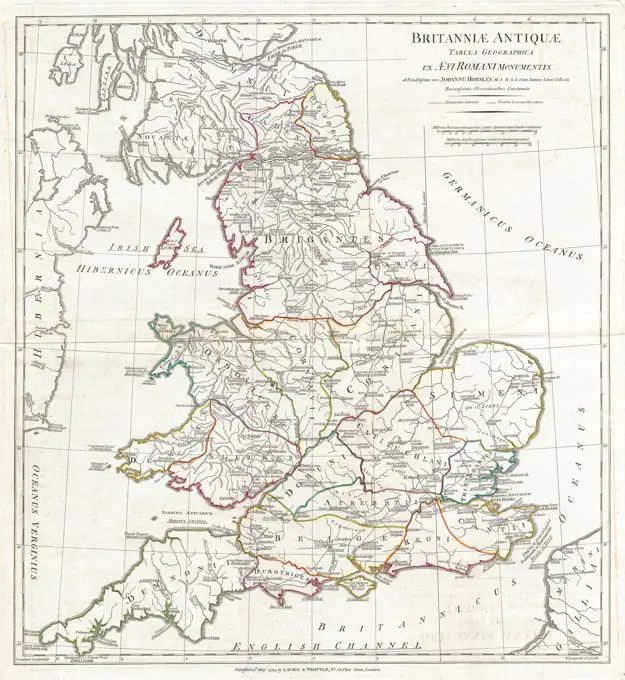
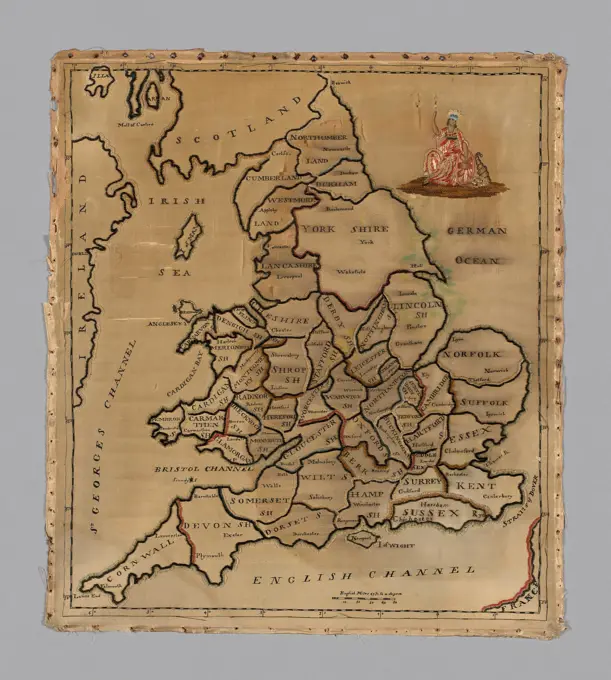
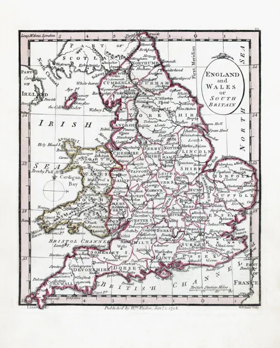
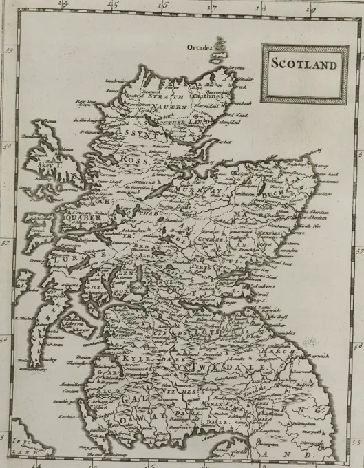
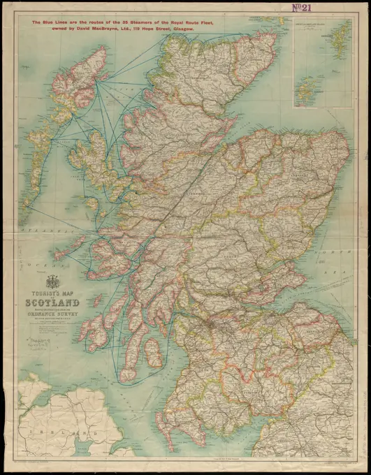
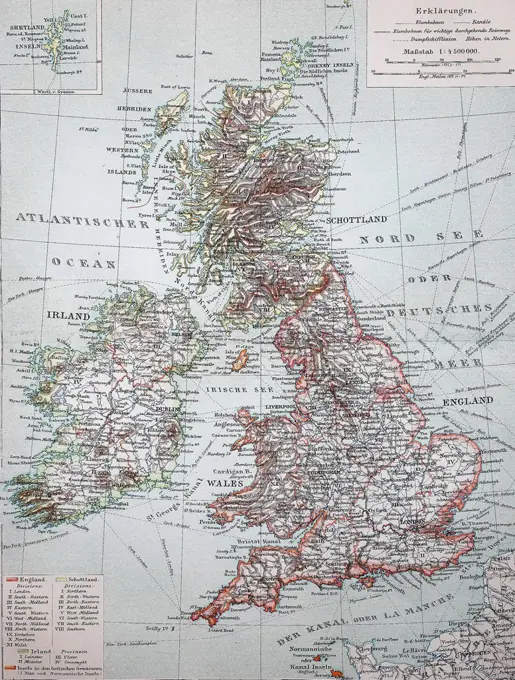
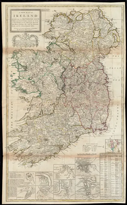
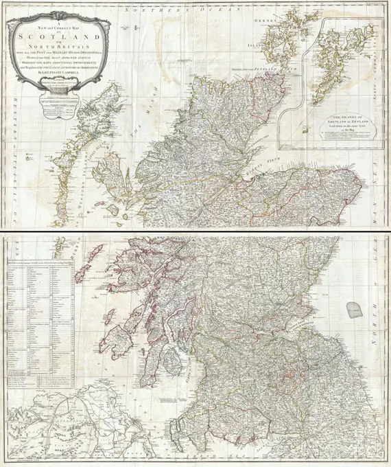
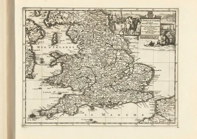
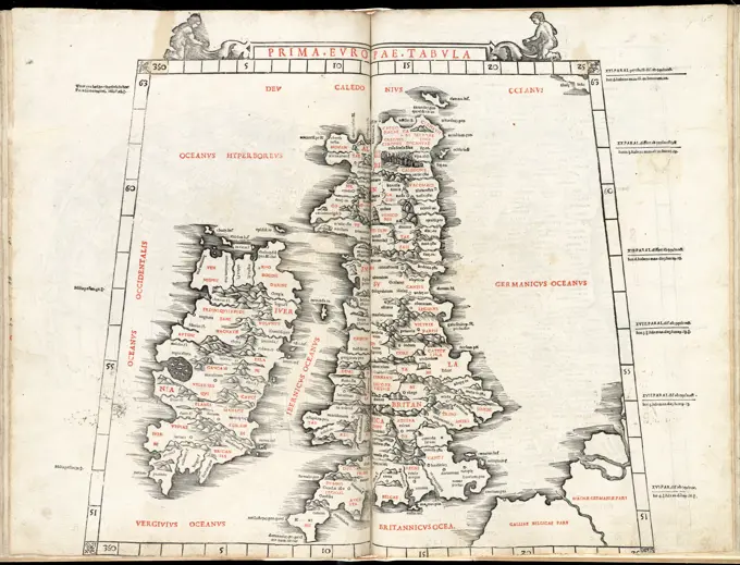
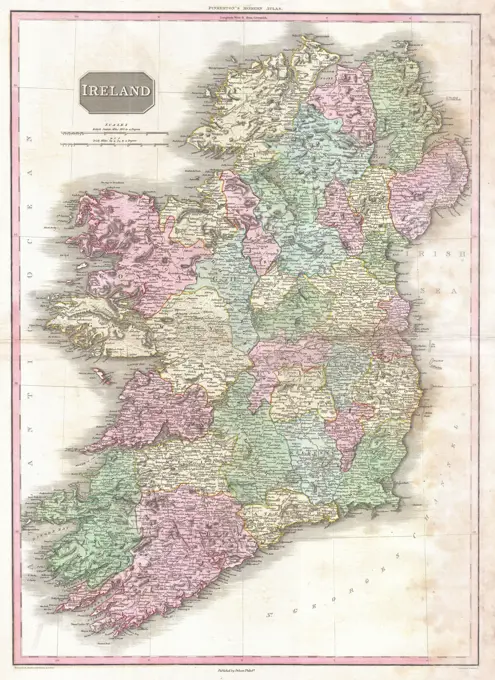
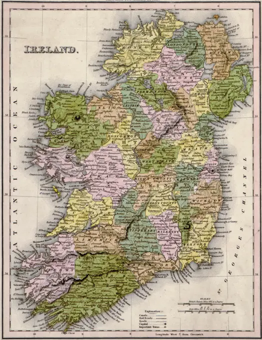
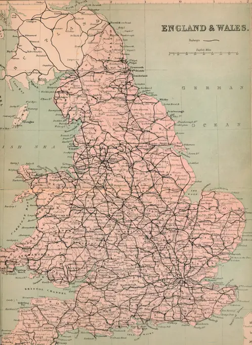
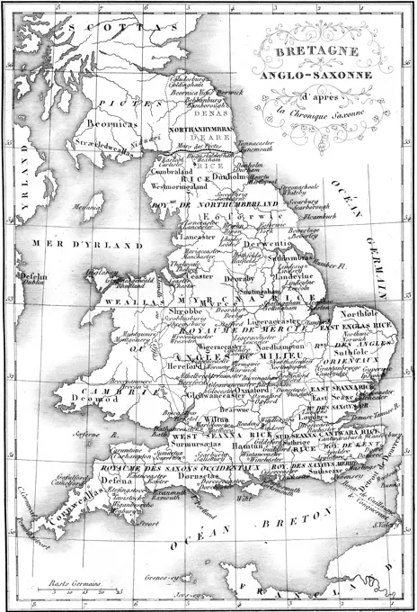
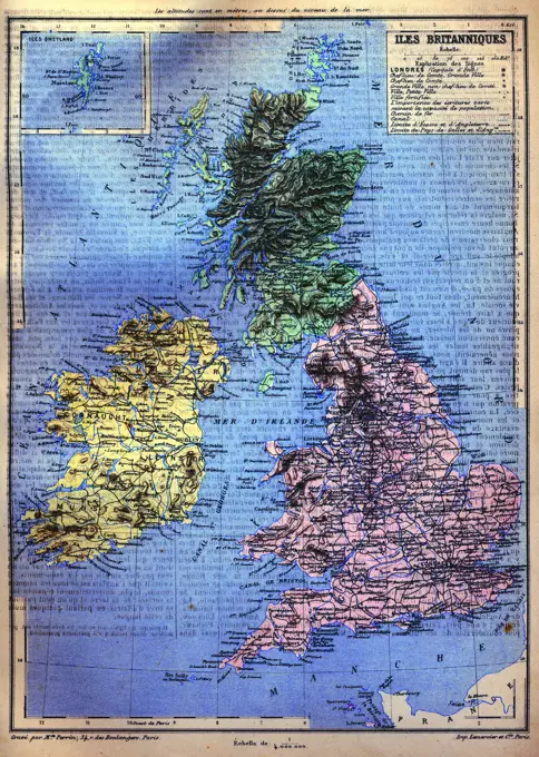
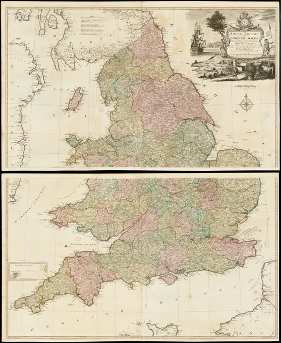
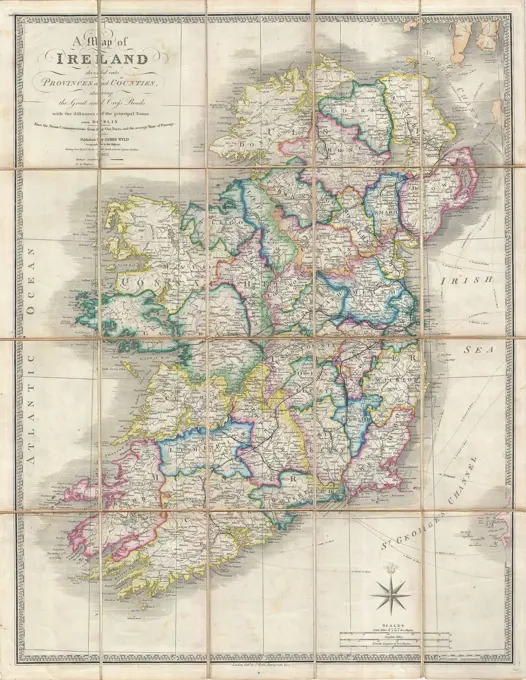
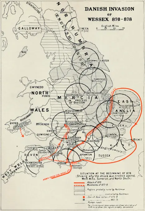
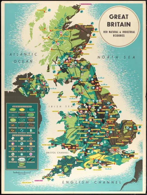
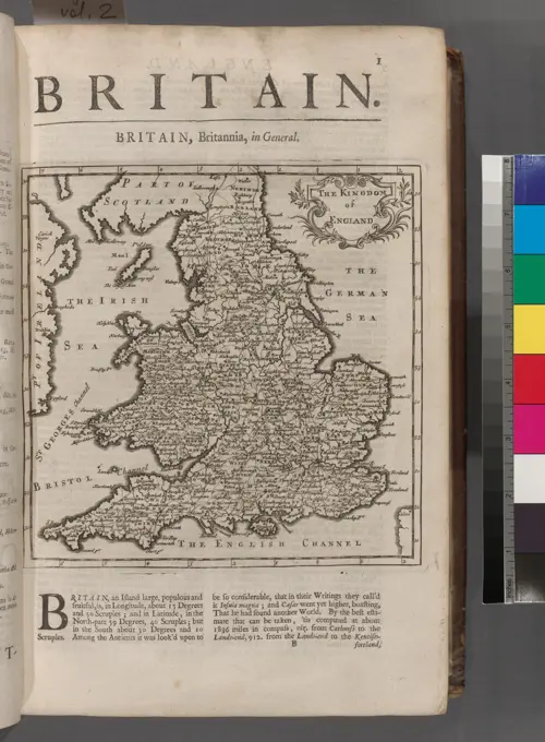
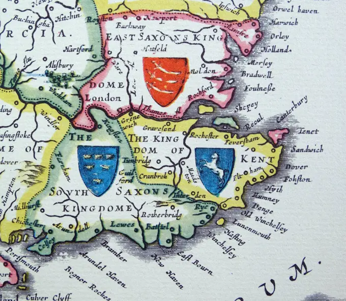
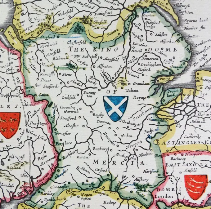
Historical British Isles MapsA collection of early maps depicting the British Isles, showcasing detailed geography of England, Scotland, and Ireland in various styles. Map of Great Britain and Ireland, 19th century engraving 106 assets in this story6145-505672226145-505710896145-505712196145-487182394443-212000866145-559155666145-559561286145-505672166145-542675016145-559168666145-487192806145-487185446145-542683954443-203060066145-559560856145-487182454443-211996756145-505712074048-52906145-505228514443-18246145-290963296145-505677816145-513959331889-603975406145-488280526145-505570296145-559169846145-290951316145-513969114443-18236145-594974046145-290965856145-505710916145-513959266145-505684146145-505695906145-505711236145-290962736145-301797471889-604148684443-754646606145-513885896145-559553416145-559561016145-542682431899-481563246145-559563906145-559553336145-542691136145-505716846145-292922091848-192521186145-513964951848-502426236145-290962566145-456284066145-290966206145-551672996145-290967741899-674171636145-513873476145-513867086145-290964666145-505514666176-669151276176-670476016188-555512356188-555516446145-559171366145-290947904435-30126145-513929006145-505331476145-513963866145-487186546145-487192836145-513938741899-198186145-487178916145-299171221746-211049604443-195484506145-487196736145-513933294443-754771776145-589418106145-290948376176-670551236176-670552056145-559138426145-505682216145-559557401746-211016181889-604222751746-196999006145-505401751746-1113573206145-290948026188-64554931 PREVIOUS of 2 NEXT