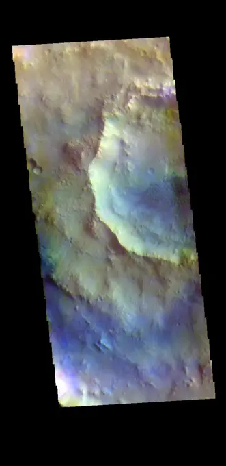
This view, made using images taken by NASA's Dawn spacecraft, is a color-coded topographic map of Occator crater on Ceres. Blue is the lowest elevation, and brown is the highest.
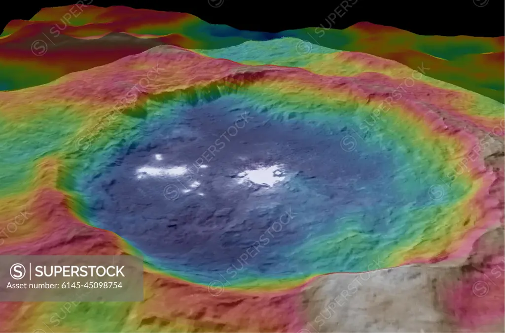
SuperStock offers millions of photos, videos, and stock assets to creatives around the world. This image of This view, made using images taken by NASA's Dawn spacecraft, is a color-coded topographic map of Occator crater on Ceres. Blue is the lowest elevation, and brown is the highest. by Piemags/PL Photography Limited is available for licensing today.
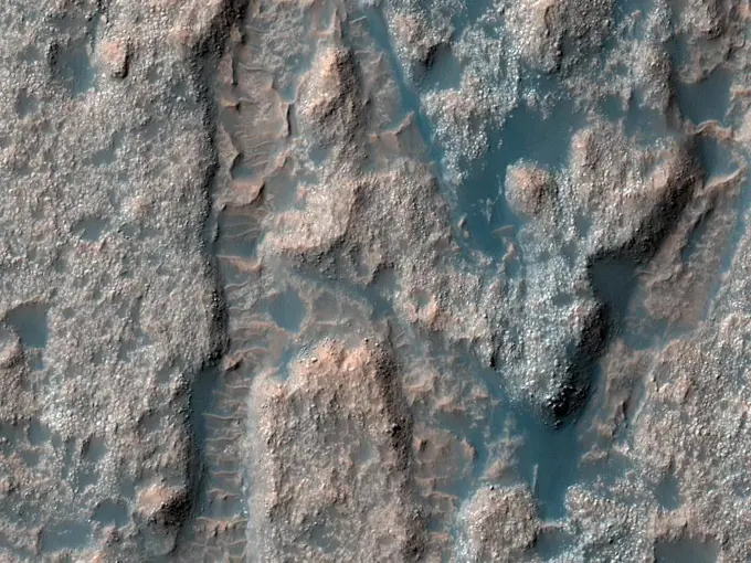
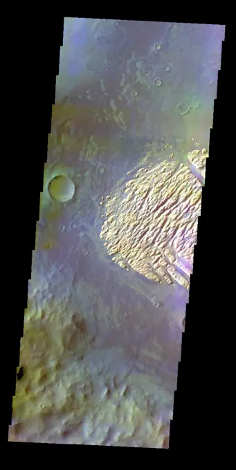
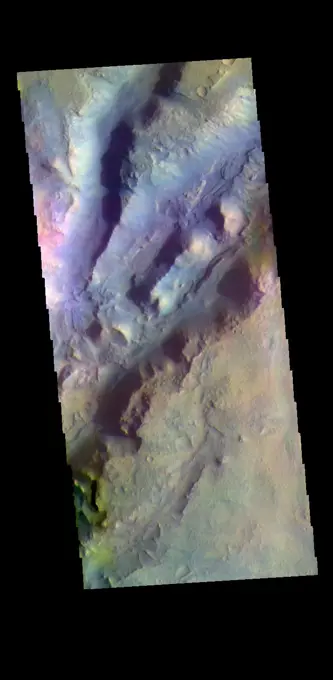
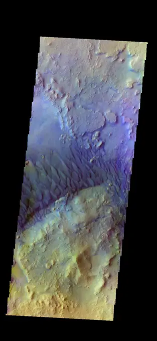
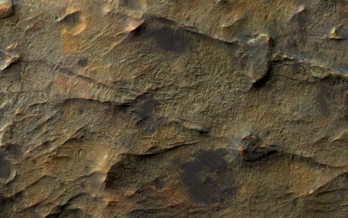
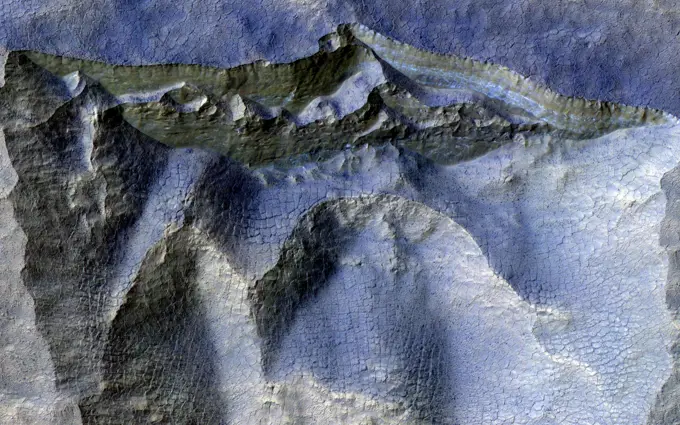
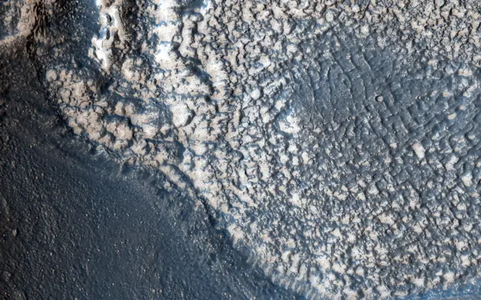
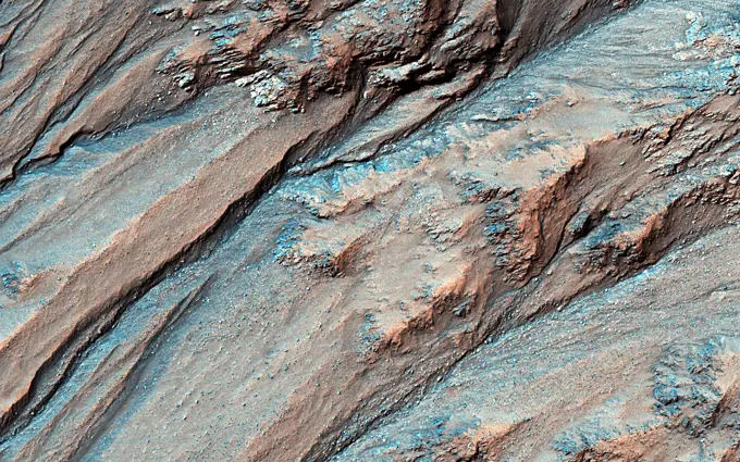
Visually Similar More from Mars Geological Features story


Looking for a license?
Click here, and we'll help you find it! Questions? Just ask!
Click here, and we'll help you find it! Questions? Just ask!
DETAILS
Image Number: 6145-45098754Royalty FreeCredit Line:Piemags/PL Photography Limited/SuperStockCollection:PL Photography Limited Story:Mars Geological FeaturesContributor:Piemags Model Release:NoProperty Release:NoResolution:2186×1446