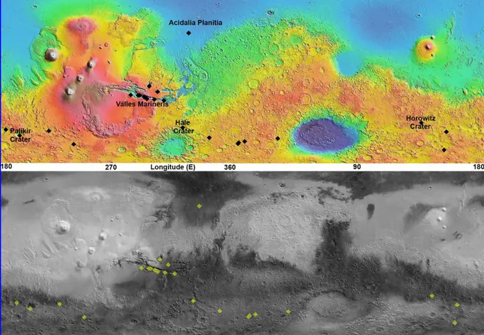
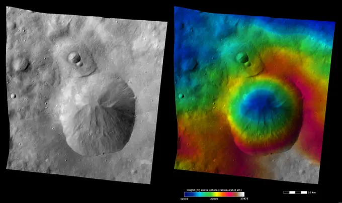
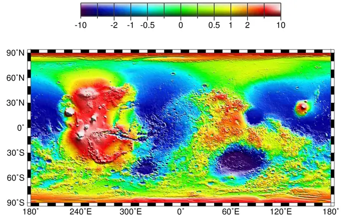
This view of Lyot Crater is a combined mapping by NASA's Project Viking with elevation information from Mars Global Surveyor showing at least one of the nine craters in the northern lowlands of Mars with exposures of hydrated minerals detected from orbit.
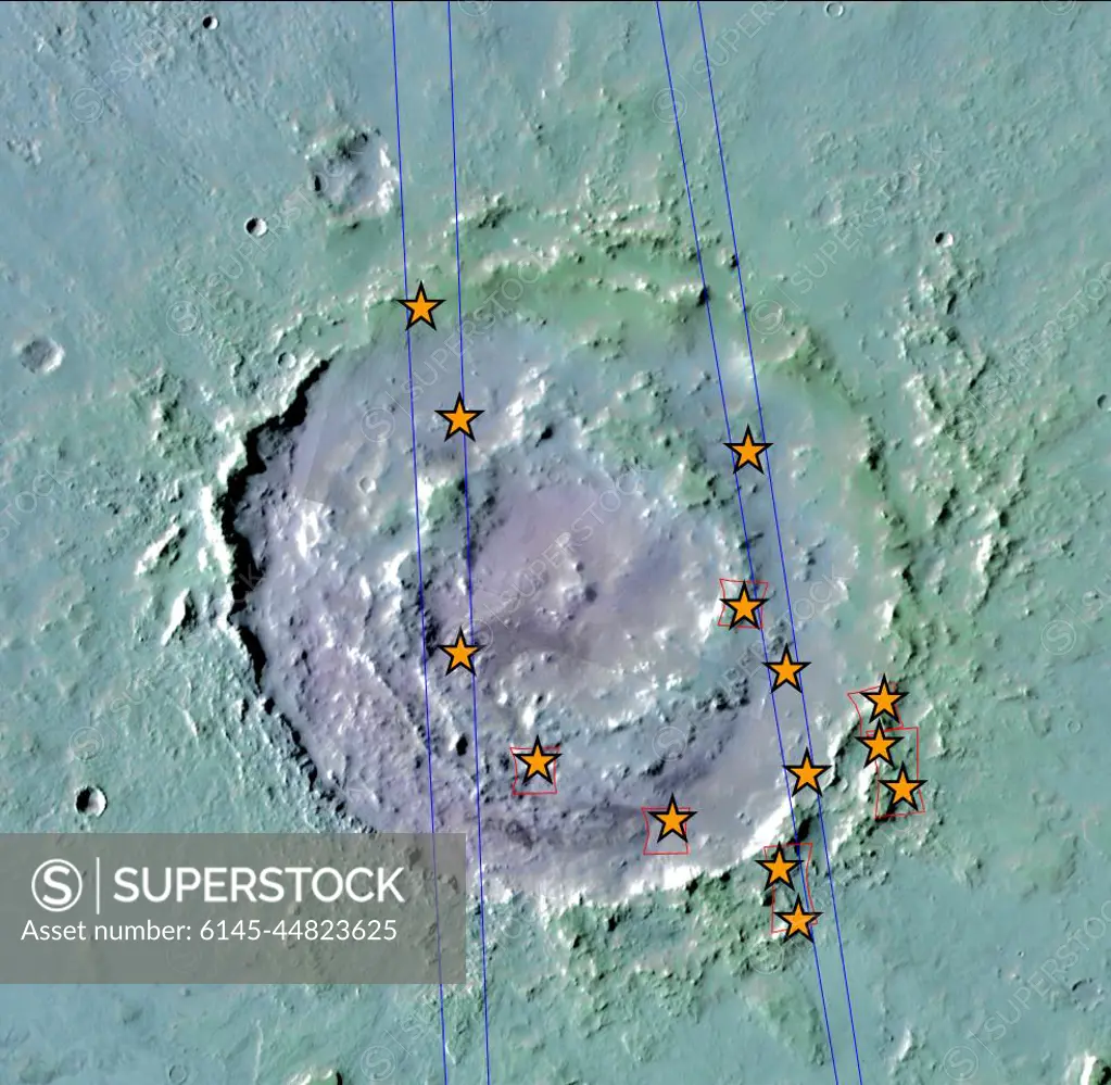
SuperStock offers millions of photos, videos, and stock assets to creatives around the world. This image of This view of Lyot Crater is a combined mapping by NASA's Project Viking with elevation information from Mars Global Surveyor showing at least one of the nine craters in the northern lowlands of Mars with exposures of hydrated minerals detected from orbit. by Piemags/PL Photography Limited is available for licensing today.
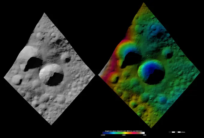
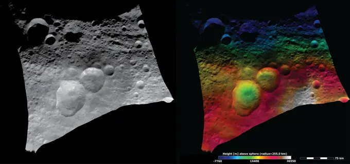
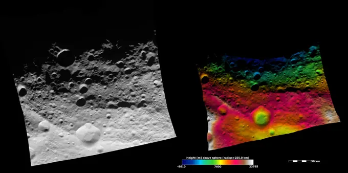
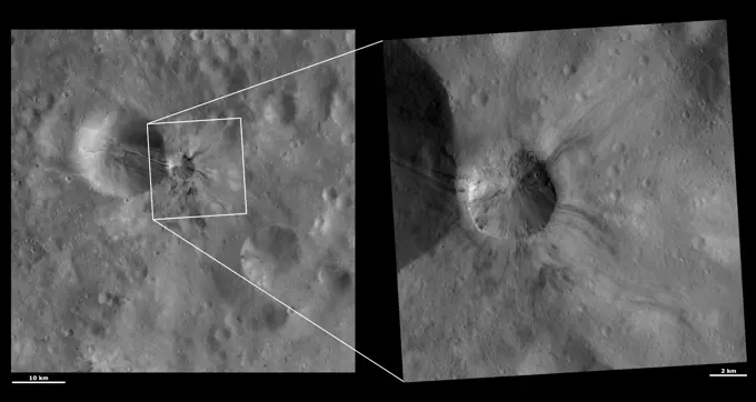
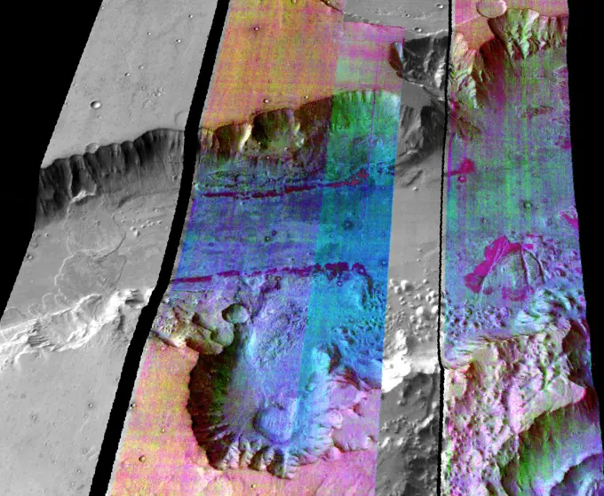
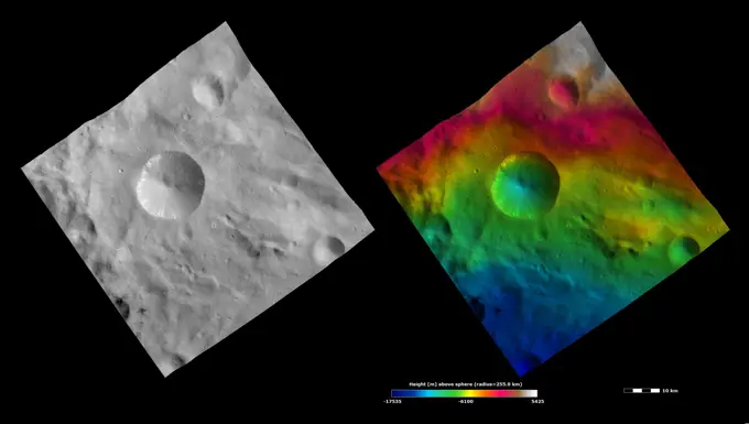
Visually Similar More from Asteroid Surfaces and Craters story


Looking for a license?
Click here, and we'll help you find it! Questions? Just ask!
Click here, and we'll help you find it! Questions? Just ask!
DETAILS
Image Number: 6145-44823625Royalty FreeCredit Line:Piemags/PL Photography Limited/SuperStockCollection:PL Photography Limited Story:Asteroid Surfaces and CratersContributor:Piemags Model Release:NoProperty Release:NoResolution:984×960