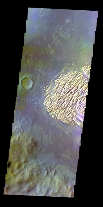
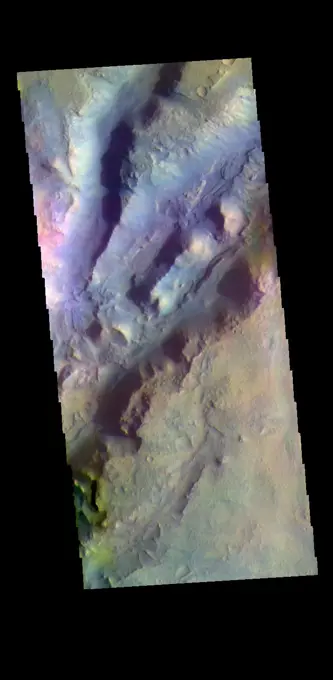
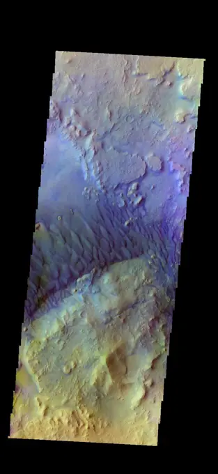
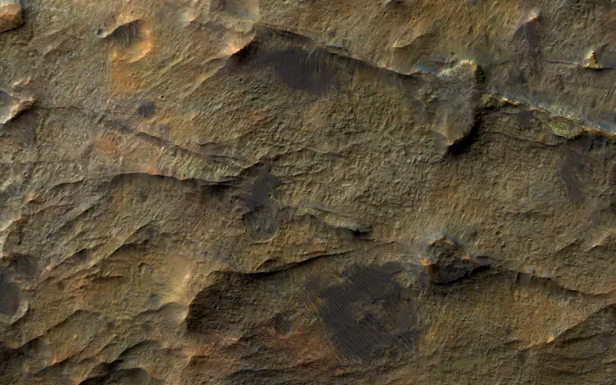
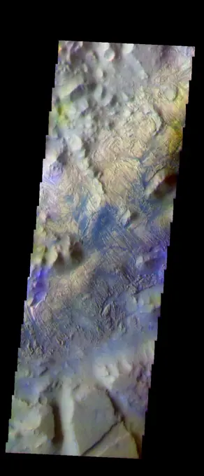
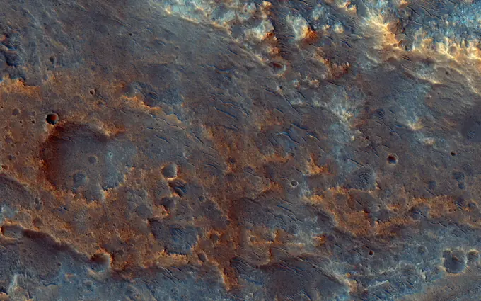
The THEMIS VIS camera contains 5 filters. The data from different filters can be combined in multiple ways to create a false color image. These false color images may reveal subtle variations of the surface not easily identified in a single band image. Today's false color image shows part of Nectaris Fossae. The linear color variations at the bottom of the image are the fossae that dissect the topographic slope on the margin between Thaumasia Planum (top of image) and Noachis Terra (off the bottom of the image). The fossae may combine both fluvial and tectonic origins. Orbit Number 66854 Latitude -25.7521 Longitude 301.599 Instrument VIS Captured 2017-01-08 16 07
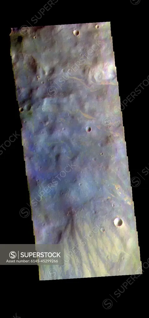
SuperStock offers millions of photos, videos, and stock assets to creatives around the world. This image of The THEMIS VIS camera contains 5 filters. The data from different filters can be combined in multiple ways to create a false color image. These false color images may reveal subtle variations of the surface not easily identified in a single band image. Today's false color image shows part of Nectaris Fossae. The linear color variations at the bottom of the image are the fossae that dissect the topographic slope on the margin between Thaumasia Planum (top of image) and Noachis Terra (off the bottom of the image). The fossae may combine both fluvial and tectonic origins. Orbit Number 66854 Latitude -25.7521 Longitude 301.599 Instrument VIS Captured 2017-01-08 16 07 by Piemags/PL Photography Limited is available for licensing today.
Visually Similar More from Mars Geological Features story


Looking for a license?
Click here, and we'll help you find it! Questions? Just ask!
Click here, and we'll help you find it! Questions? Just ask!
DETAILS
Image Number: 6145-45299266Royalty FreeCredit Line:Piemags/PL Photography Limited/SuperStockCollection:PL Photography Limited Story:Mars Geological FeaturesContributor:Piemags Model Release:NoProperty Release:NoResolution:670×1421