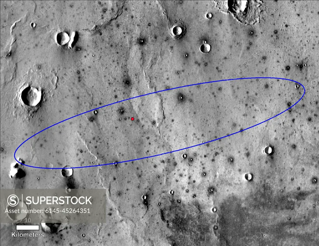
The red dot marks the final landing location of NASA's InSight lander in this annotated image of the surface of Mars, taken by the THEMIS camera on NASA's 2001 Mars Odyssey orbiter in 2015. A version with latitude and longitude is also available. The landing ellipse on this map covers an area within which the spacecraft had about a 99 percent chance of landing when targeted for the center of the ellipse. It is about 81 miles (130 kilometers) long, generally west to east, and about 17 miles (27 kilometers) wide. The base map is a mosaic of daytime thermal images from the Thermal Emission Imaging System (THEMIS) on NASA's Mars Odyssey orbiter. THEMIS was developed and is operated by Arizona State University, Tempe.
SuperStock offers millions of photos, videos, and stock assets to creatives around the world. This image of The red dot marks the final landing location of NASA's InSight lander in this annotated image of the surface of Mars, taken by the THEMIS camera on NASA's 2001 Mars Odyssey orbiter in 2015. A version with latitude and longitude is also available. The landing ellipse on this map covers an area within which the spacecraft had about a 99 percent chance of landing when targeted for the center of the ellipse. It is about 81 miles (130 kilometers) long, generally west to east, and about 17 miles (27 kilometers) wide. The base map is a mosaic of daytime thermal images from the Thermal Emission Imaging System (THEMIS) on NASA's Mars Odyssey orbiter. THEMIS was developed and is operated by Arizona State University, Tempe. by Piemags/PL Photography Limited is available for licensing today.
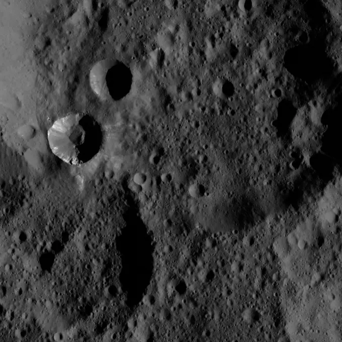
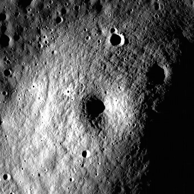
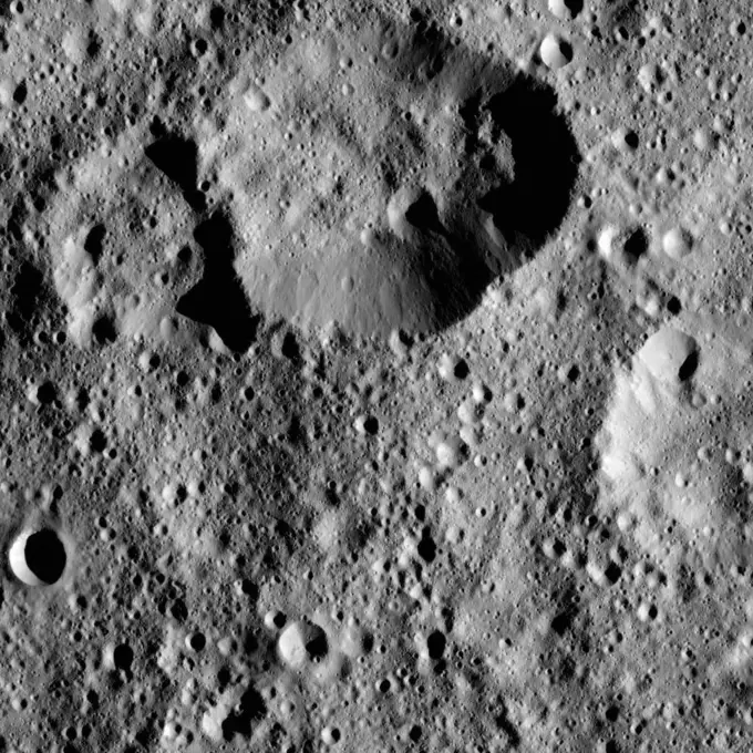
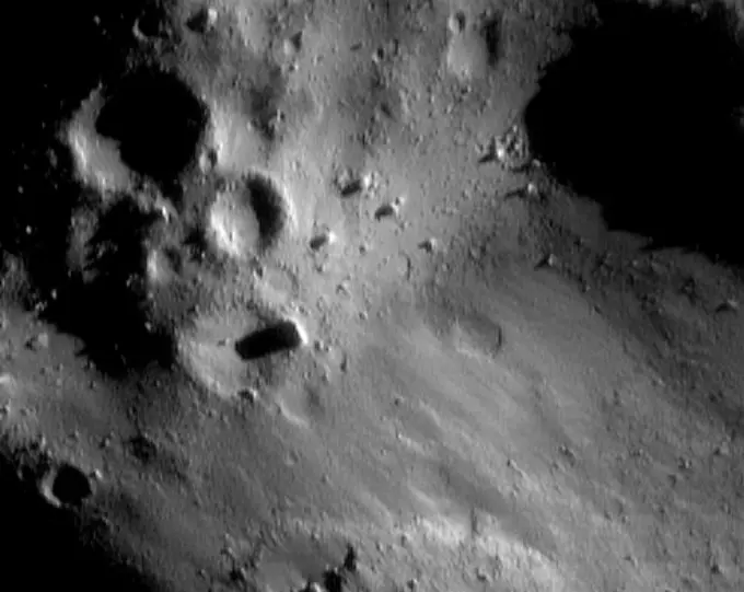
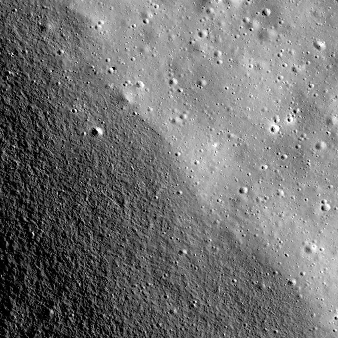
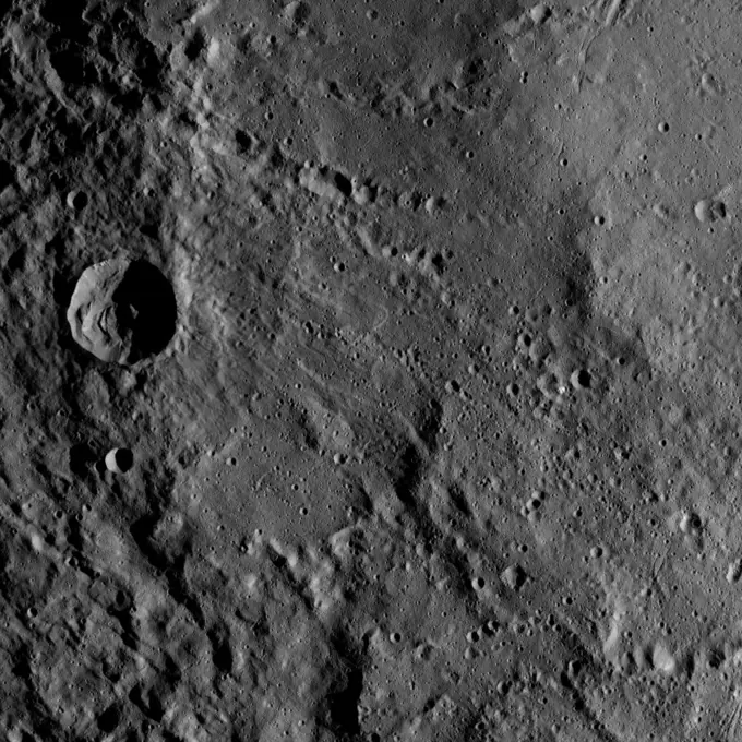
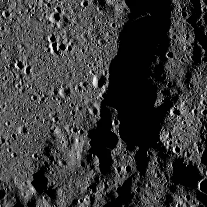
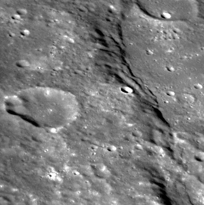
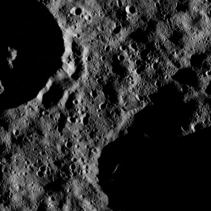
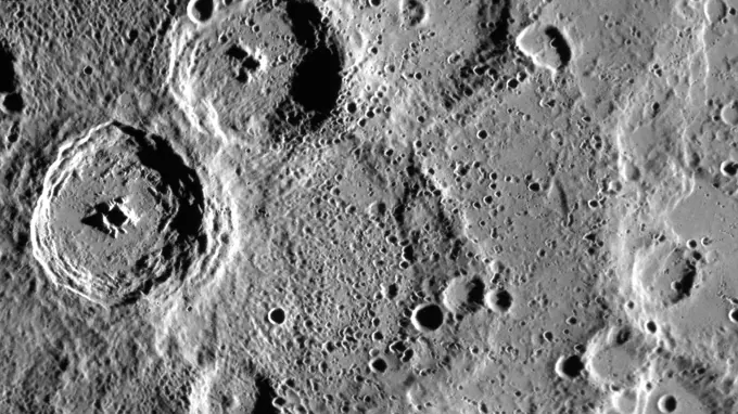
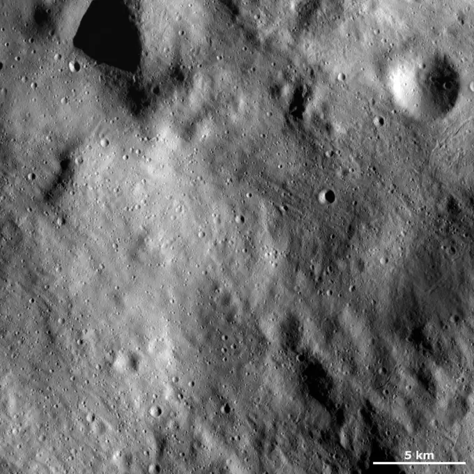
Visually Similar More from Lunar and Ceres Surface Features story


Looking for a license?
Click here, and we'll help you find it! Questions? Just ask!
Click here, and we'll help you find it! Questions? Just ask!
DETAILS
Image Number: 6145-45264351Royalty FreeCredit Line:Piemags/PL Photography Limited/SuperStockCollection:PL Photography Limited Story:Lunar and Ceres Surface FeaturesContributor:Piemags Model Release:NoProperty Release:NoResolution:1650×1275