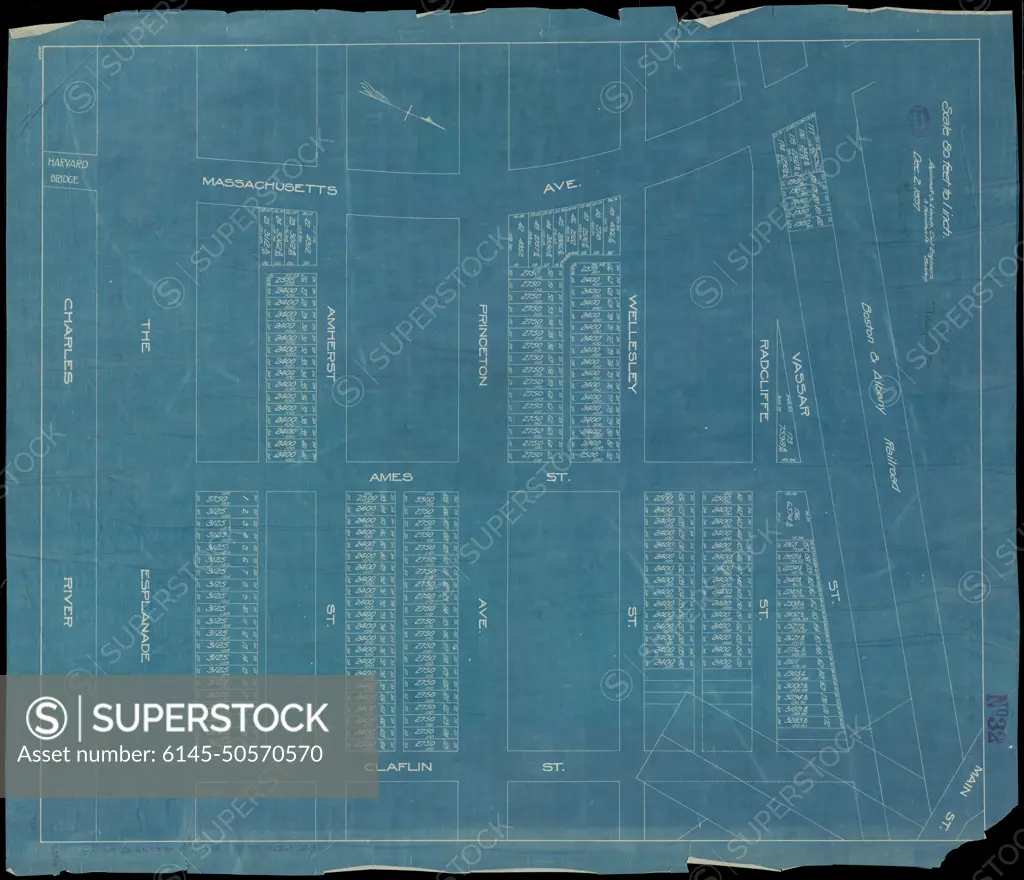
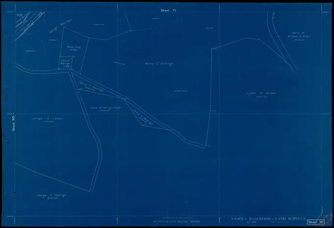
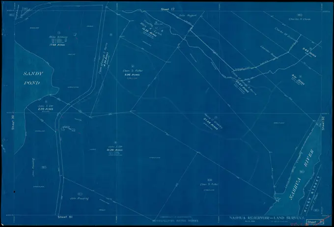
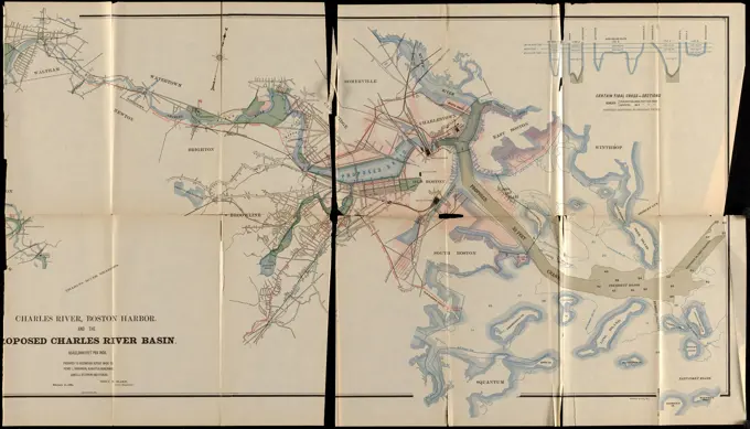
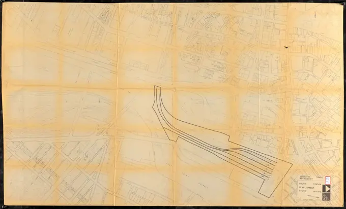
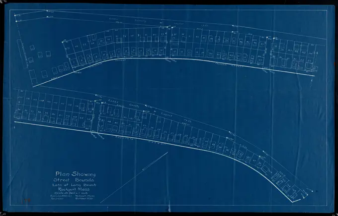
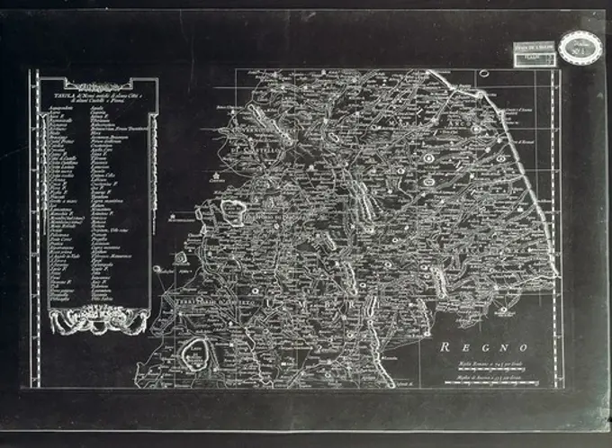
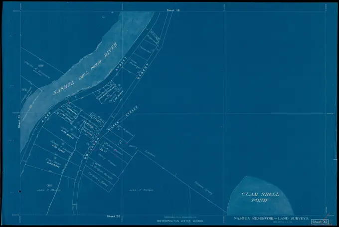
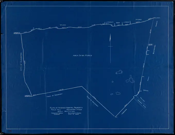
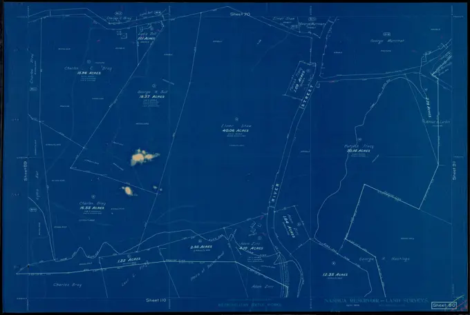
Plan of lots in Kendall Square, Cambridge, between Massachusetts Ave., Vassar St. and Claflin St. , Real property, Massachusetts, Cambridge, Maps, Cambridge Mass., Maps, Kendall Square Cambridge, Mass., Maps Norman B. Leventhal Map Center Collection
SuperStock offers millions of photos, videos, and stock assets to creatives around the world. This image of Plan of lots in Kendall Square, Cambridge, between Massachusetts Ave., Vassar St. and Claflin St. , Real property, Massachusetts, Cambridge, Maps, Cambridge Mass., Maps, Kendall Square Cambridge, Mass., Maps Norman B. Leventhal Map Center Collection by Piemags/PL Photography Limited is available for licensing today.
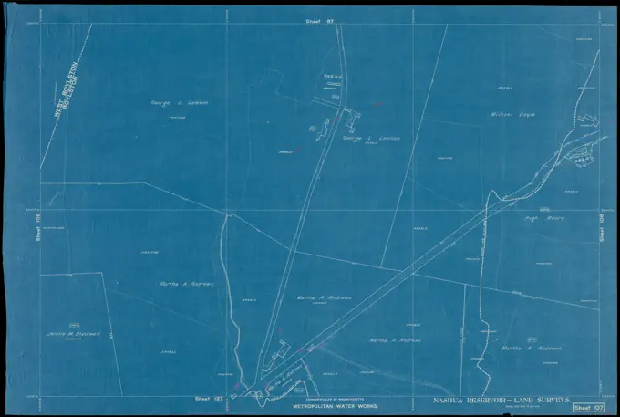
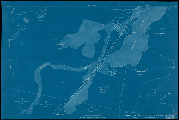
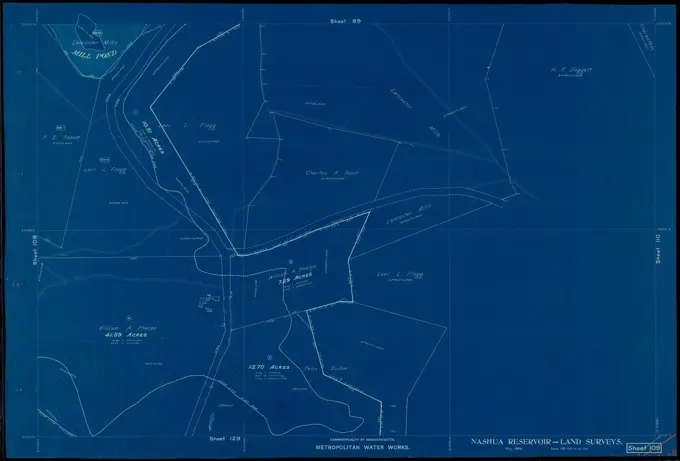
Visually Similar More from Historical Land Surveys story


Looking for a license?
Click here, and we'll help you find it! Questions? Just ask!
Click here, and we'll help you find it! Questions? Just ask!
DETAILS
Image Number: 6145-50570570Royalty FreeCredit Line:Piemags/PL Photography Limited/SuperStockCollection:PL Photography Limited Story:Historical Land SurveysContributor:Piemags Model Release:NoProperty Release:NoResolution:8110×6970