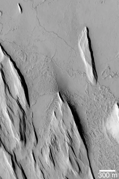
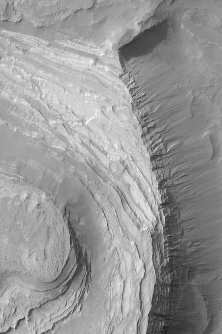
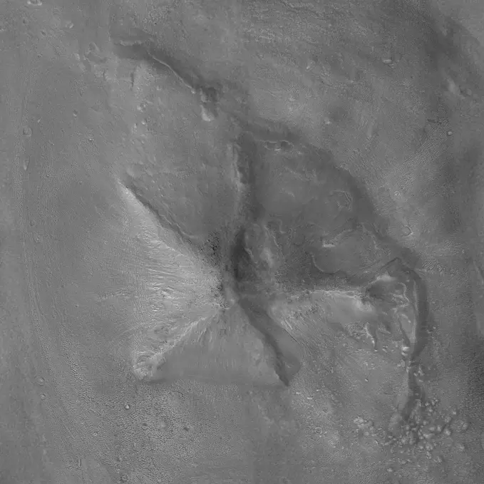
Pine Island Glacier has undergone a steady loss of elevation with retreat of the grounding line in recent decades. NASA's Terra satellite acquired the scene on December 12, 2000.

SuperStock offers millions of photos, videos, and stock assets to creatives around the world. This image of Pine Island Glacier has undergone a steady loss of elevation with retreat of the grounding line in recent decades. NASA's Terra satellite acquired the scene on December 12, 2000. by Piemags/PL Photography Limited is available for licensing today.
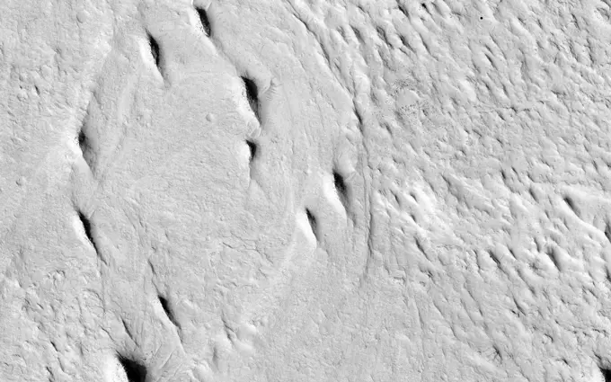
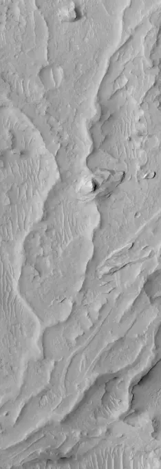
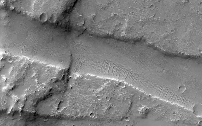
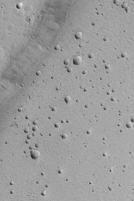
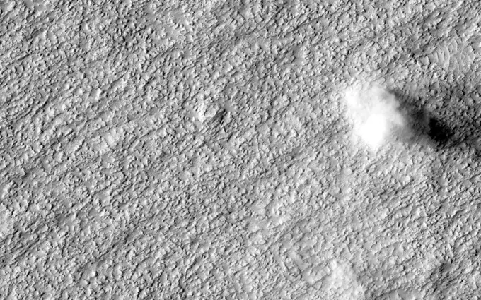
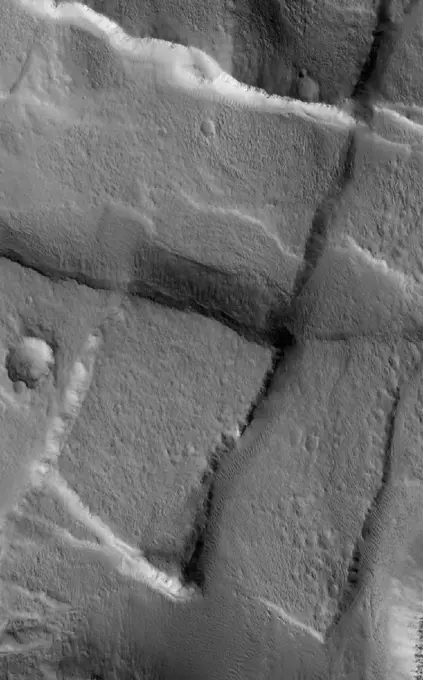
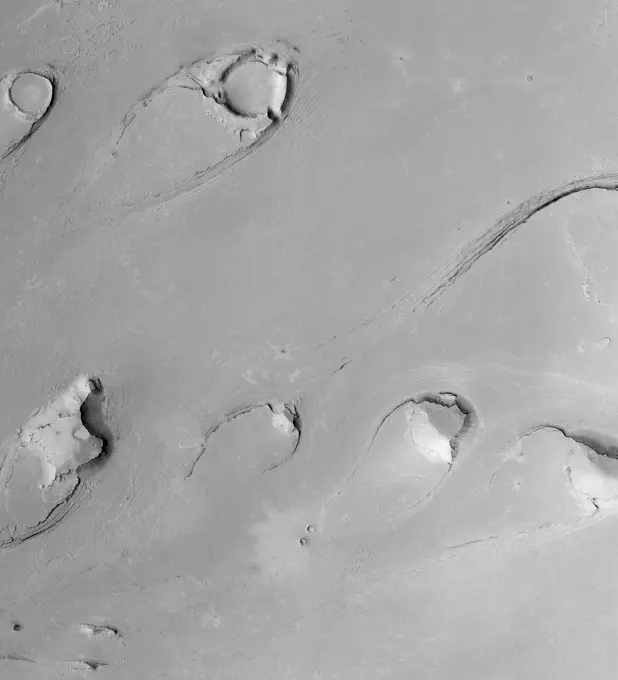
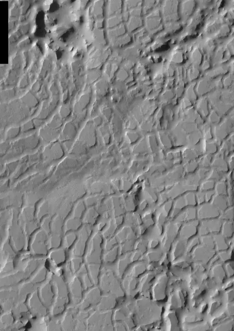
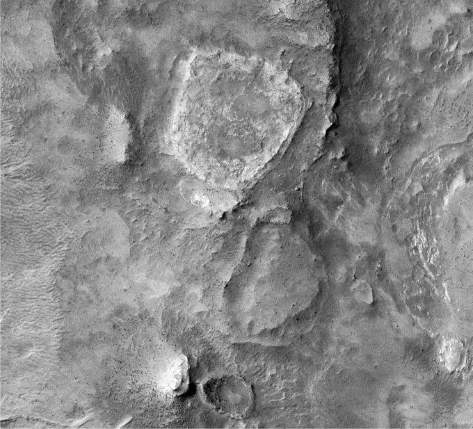
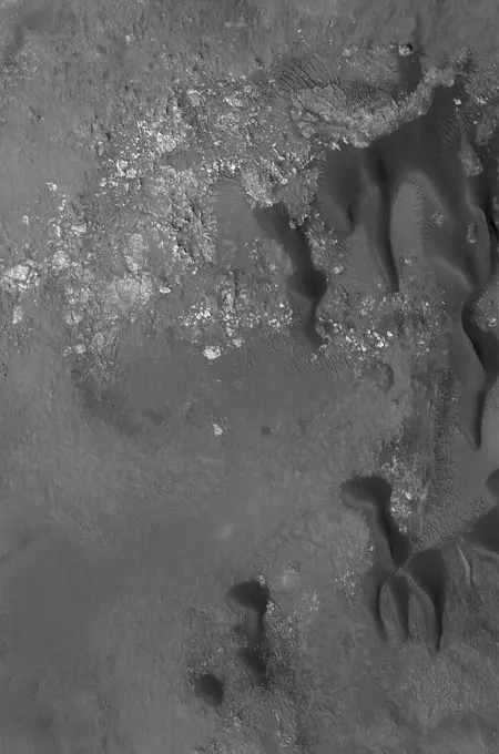
Visually Similar More from Martian Geological Features story


Looking for a license?
Click here, and we'll help you find it! Questions? Just ask!
Click here, and we'll help you find it! Questions? Just ask!
DETAILS
Image Number: 6145-44529926Royalty FreeCredit Line:Piemags/PL Photography Limited/SuperStockCollection:PL Photography Limited Story:Martian Geological FeaturesContributor:Piemags Model Release:NoProperty Release:NoResolution:2547×3222