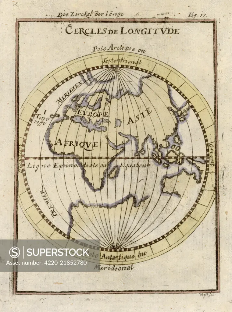
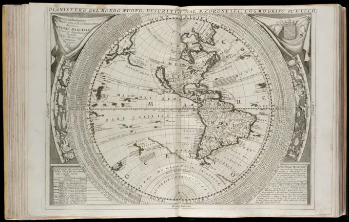
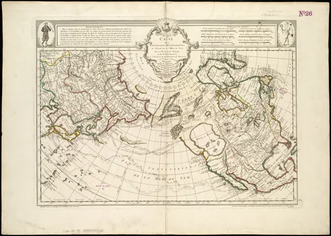
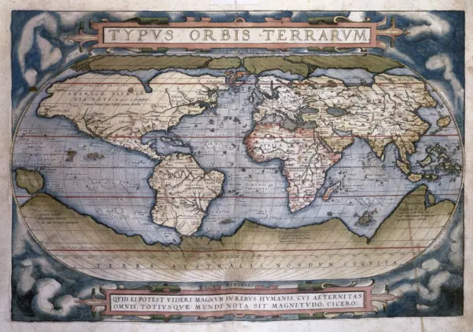
Parallels of longitude, relative to the Equator Date: circa 1690
SuperStock offers millions of photos, videos, and stock assets to creatives around the world. This image of Explore Historical Cartography: Antique Map Illustration of Continents and Longitude Circles by Mary Evans Picture Library/Pantheon is available for licensing today.
Visually Similar More from World Maps from Historical Perspectives story


Looking for a license?
Click here, and we'll help you find it! Questions? Just ask!
Click here, and we'll help you find it! Questions? Just ask!
DETAILS
Image Number: 4220-21852780Rights ManagedCredit Line:Mary Evans Picture Library/Pantheon/SuperStockCollection:Mary Evans Picture Library Story:World Maps from Historical PerspectivesModel Release:NoProperty Release:NoResolution:3244×4363