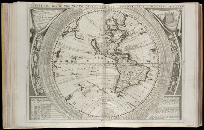
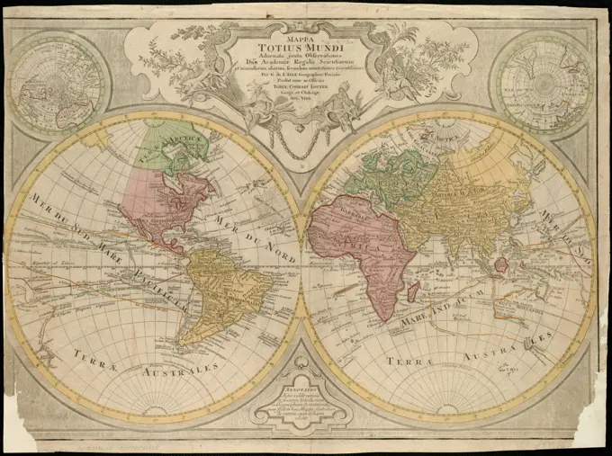
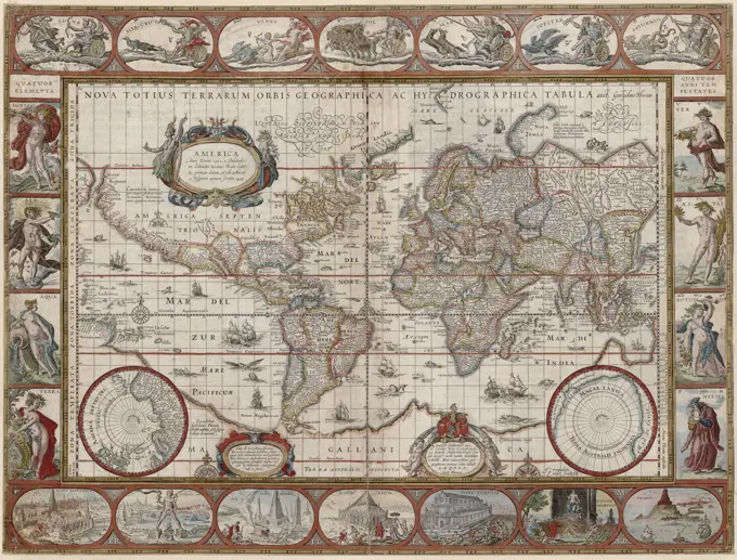
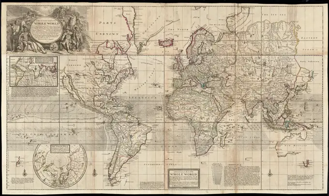
A new map of the world according to Wrights alias Mercators projection &c. : drawn from the newest and most exact observations together with a view of the general and coasting trade winds, monsoons or the shifting trade winds with other considerable improvements &c. Cartographic. Maps. 1705. Lionel Pincus and Princess Firyal Map Division. World maps, Maps
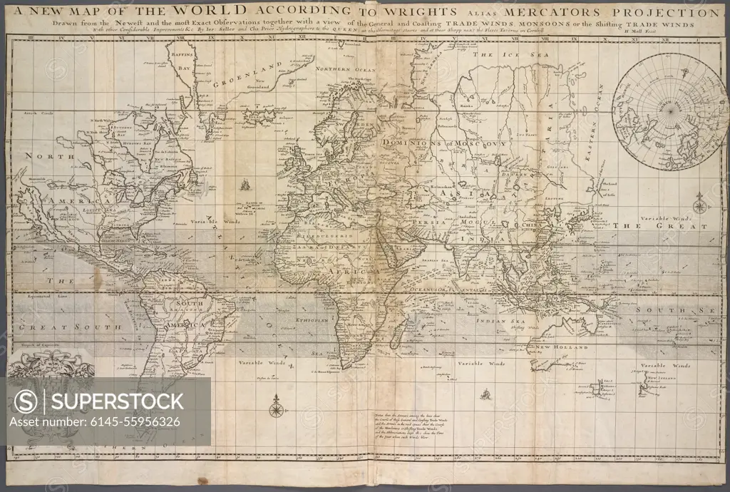
SuperStock offers millions of photos, videos, and stock assets to creatives around the world. This image of A new map of the world according to Wrights alias Mercators projection &c. : drawn from the newest and most exact observations together with a view of the general and coasting trade winds, monsoons or the shifting trade winds with other considerable improvements &c. Cartographic. Maps. 1705. Lionel Pincus and Princess Firyal Map Division. World maps, Maps by Piemags/PL Photography Limited is available for licensing today.
Visually Similar More from World Maps from Historical Perspectives story


Looking for a license?
Click here, and we'll help you find it! Questions? Just ask!
Click here, and we'll help you find it! Questions? Just ask!
DETAILS
Image Number: 6145-55956326Royalty FreeCredit Line:Piemags/PL Photography Limited/SuperStockCollection:PL Photography Limited Story:World Maps from Historical PerspectivesContributor:Piemags Model Release:NoProperty Release:NoResolution:7014×4730