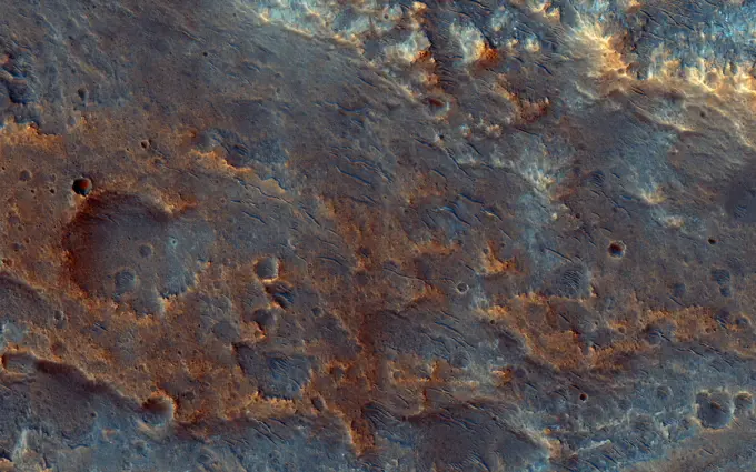
NASA's EMIT Generates Image Cube of Surface Minerals in Northwest Nevada. The front panel of this image cube shows the true-color view of an area in northwest Nevada observed by NASA's Earth Surface Mineral Dust Source Investigation (EMIT) imaging spectrometer. The side panels depict the spectral fingerprint for every point in the image, which shows an area about 130 miles (209 kilometers) northeast of Lake Tahoe. The instrument works by measuring reflected solar energy from Earth across hundreds of wavelengths from the visible to the infrared range of the spectrum. The intensity of the reflected light varies by wavelength based on the material. Scientists are using these patterns, called spectral fingerprints, to identify surface minerals and pinpoint their locations on a map. The cube was among the first created by EMIT scientists as they confirmed that the instrument was collecting data accurately before the start of science operations. Analysis of the patterns indicate areas domina
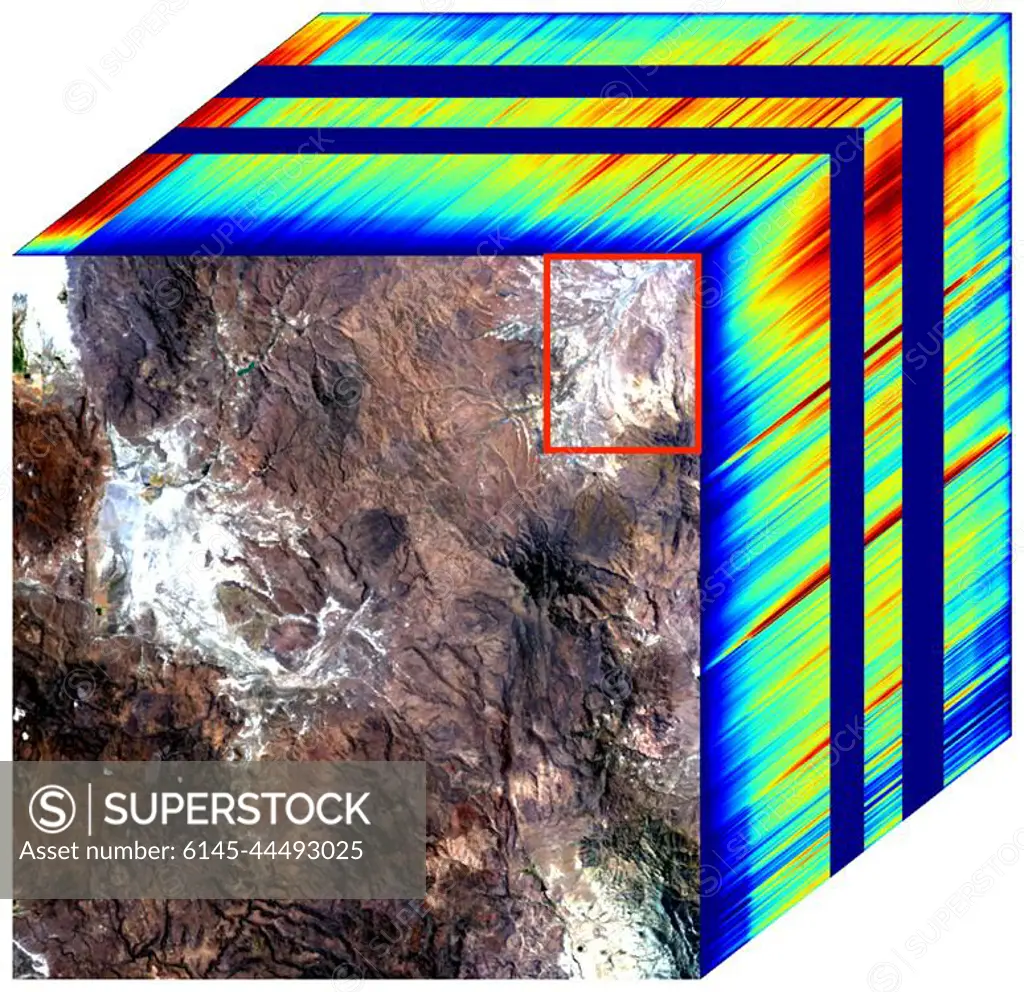
SuperStock offers millions of photos, videos, and stock assets to creatives around the world. This image of NASA's EMIT Generates Image Cube of Surface Minerals in Northwest Nevada. The front panel of this image cube shows the true-color view of an area in northwest Nevada observed by NASA's Earth Surface Mineral Dust Source Investigation (EMIT) imaging spectrometer. The side panels depict the spectral fingerprint for every point in the image, which shows an area about 130 miles (209 kilometers) northeast of Lake Tahoe. The instrument works by measuring reflected solar energy from Earth across hundreds of wavelengths from the visible to the infrared range of the spectrum. The intensity of the reflected light varies by wavelength based on the material. Scientists are using these patterns, called spectral fingerprints, to identify surface minerals and pinpoint their locations on a map. The cube was among the first created by EMIT scientists as they confirmed that the instrument was collecting data accurately before the start of science operations. Analysis of the patterns indicate areas domina by Piemags/PL Photography Limited is available for licensing today.
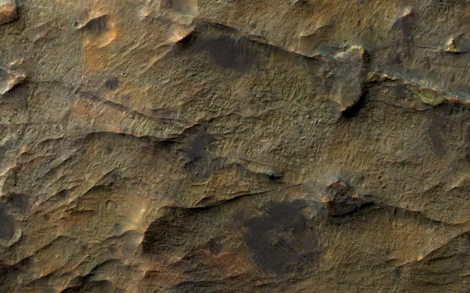
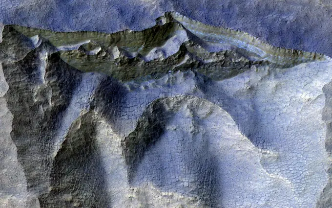
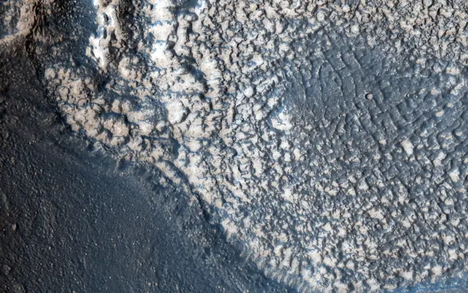
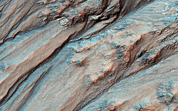
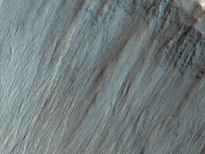
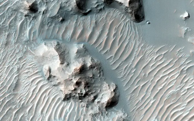
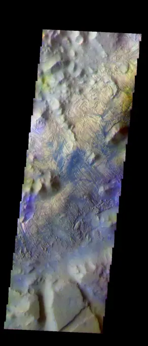
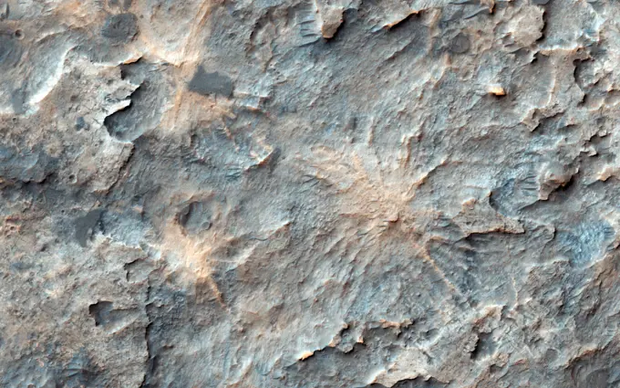
Visually Similar More from Mars Geological Features story


Looking for a license?
Click here, and we'll help you find it! Questions? Just ask!
Click here, and we'll help you find it! Questions? Just ask!
DETAILS
Image Number: 6145-44493025Royalty FreeCredit Line:Piemags/PL Photography Limited/SuperStockCollection:PL Photography Limited Story:Mars Geological FeaturesContributor:Piemags Model Release:NoProperty Release:NoResolution:774×750