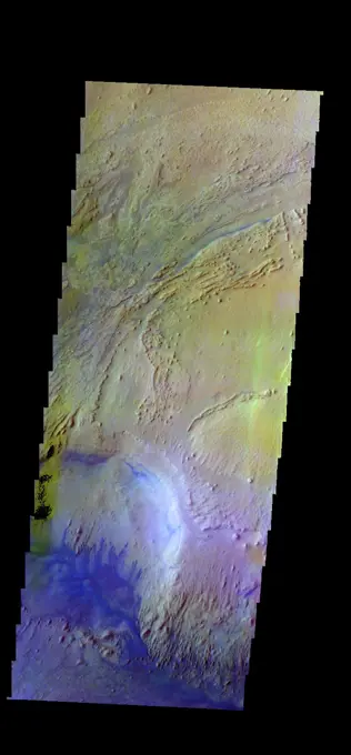
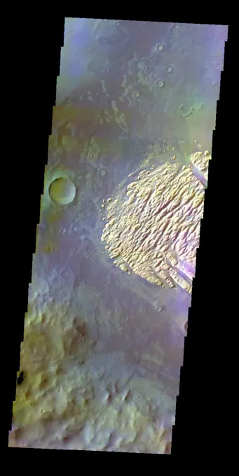
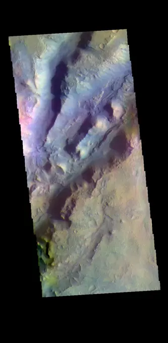
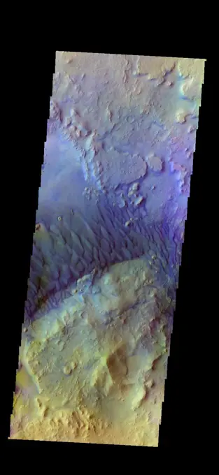
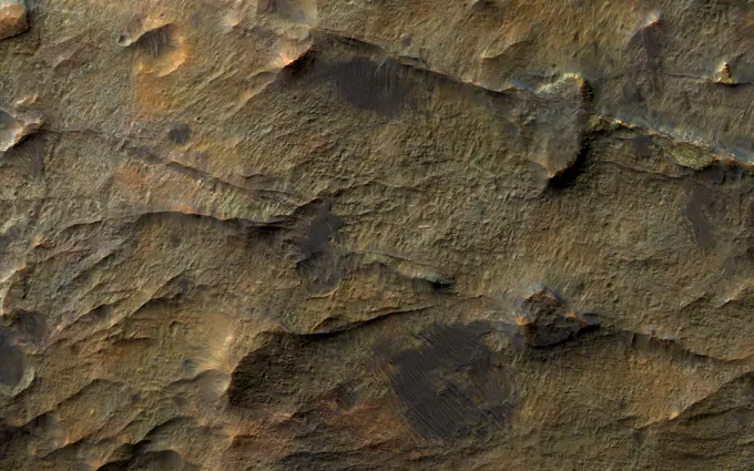
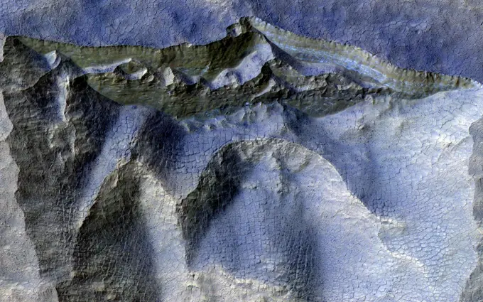
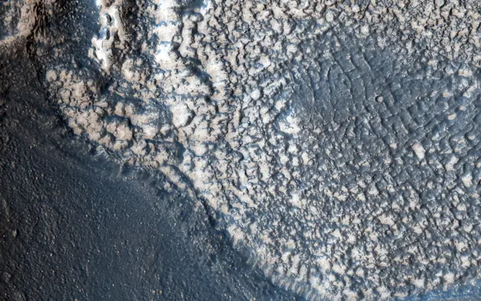
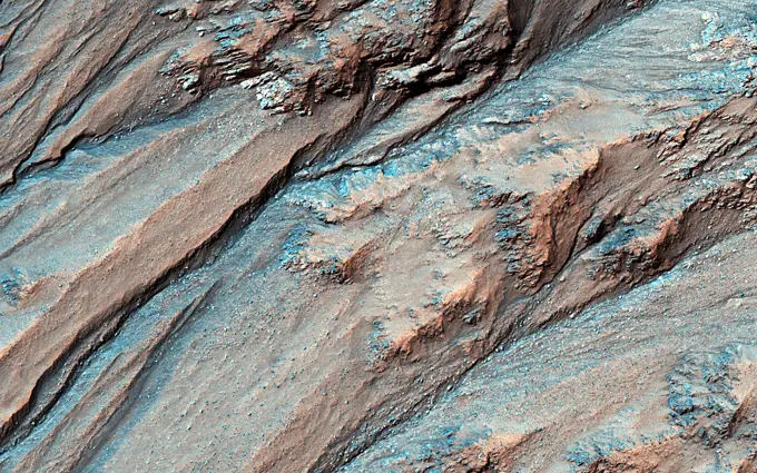
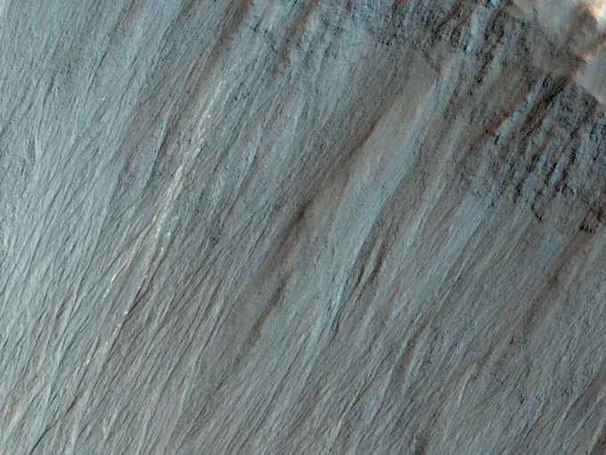
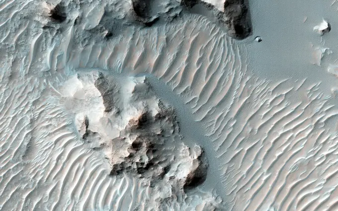
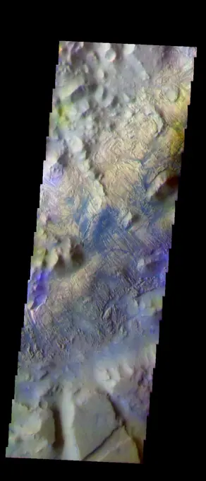
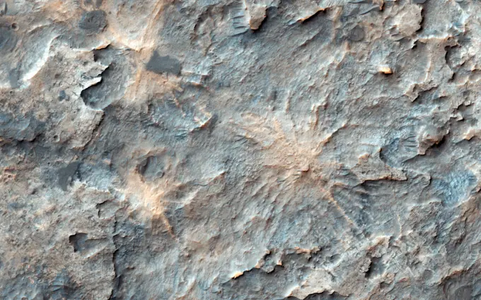
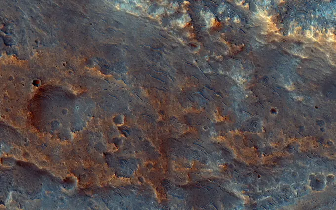
These maps are global false-color topographic views of Mars at different orientations from NASA's Mars Orbiter Laser Altimeter (MOLA). The maps are orthographic projections that contain over 200,000,000 points and about 5,000,000 altimetric crossovers.

SuperStock offers millions of photos, videos, and stock assets to creatives around the world. This image of These maps are global false-color topographic views of Mars at different orientations from NASA's Mars Orbiter Laser Altimeter (MOLA). The maps are orthographic projections that contain over 200,000,000 points and about 5,000,000 altimetric crossovers. by Piemags/PL Photography Limited is available for licensing today.
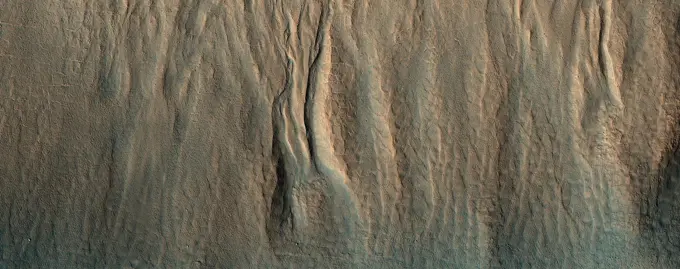
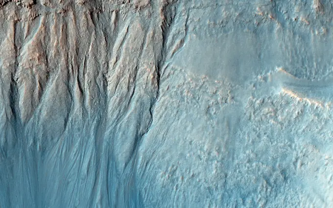
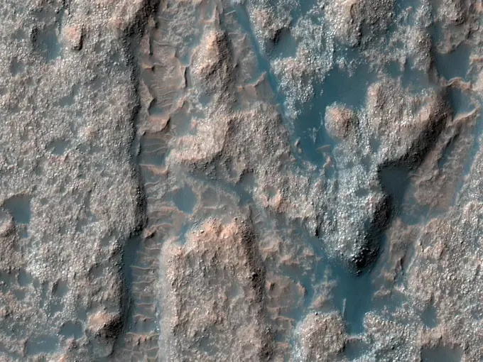
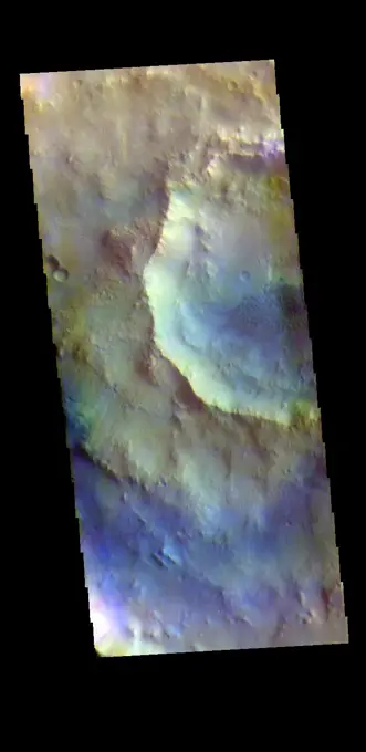
Visually Similar More from Mars Geological Features story


Looking for a license?
Click here, and we'll help you find it! Questions? Just ask!
Click here, and we'll help you find it! Questions? Just ask!
DETAILS
Image Number: 6145-44516377Royalty FreeCredit Line:Piemags/PL Photography Limited/SuperStockCollection:PL Photography Limited Story:Mars Geological FeaturesContributor:Piemags Model Release:NoProperty Release:NoResolution:4000×2769