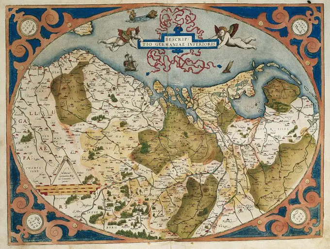
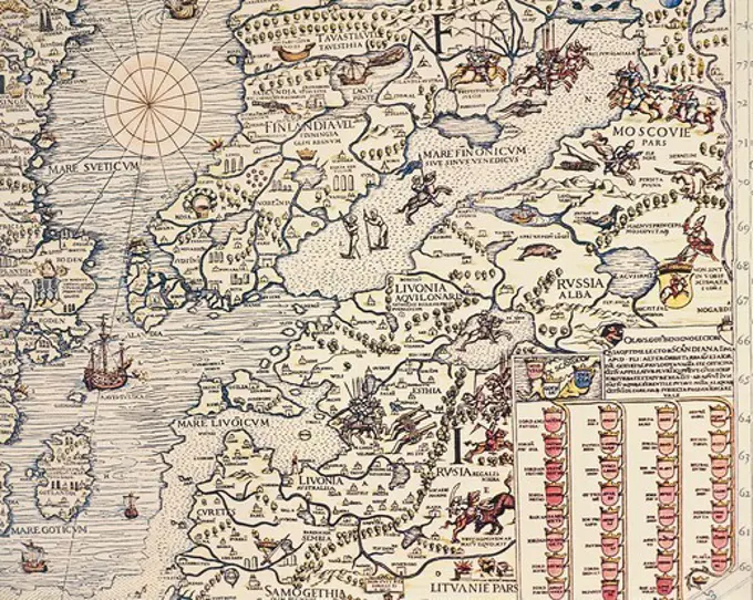
Map of the Graafschap Holland, Pieter van der Keere (Possible), 1622 print Map of the Graafschap Holland and surrounding areas. At the top in the middle two putti with the coat of arms of the county in a laurel wreath, underneath a banderole with the title. At the top right a cartouche with a description and weapons of Dutch cities. On the map at the Veluwe Het Wapen van Gelderland. On the right in the Zuiderzee the weapon of Friesland. At the bottom right two scale sticks: Miliarie Germanica Quorum 15.Uni Gradui respondent / Duytsche Mylen 15. In a Graedt; Horae Itineris / Hours Gaens. Degree distribution along the bottom. Orientation: north on the right. On Verso Latin text. paper engraving / letterpress printing maps of separate countries or regions. coat of arms (as symbol of the state, etc.) Holland
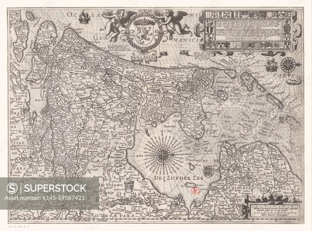
SuperStock offers millions of photos, videos, and stock assets to creatives around the world. This image of Map of the Graafschap Holland, Pieter van der Keere (Possible), 1622 print Map of the Graafschap Holland and surrounding areas. At the top in the middle two putti with the coat of arms of the county in a laurel wreath, underneath a banderole with the title. At the top right a cartouche with a description and weapons of Dutch cities. On the map at the Veluwe Het Wapen van Gelderland. On the right in the Zuiderzee the weapon of Friesland. At the bottom right two scale sticks: Miliarie Germanica Quorum 15.Uni Gradui respondent / Duytsche Mylen 15. In a Graedt; Horae Itineris / Hours Gaens. Degree distribution along the bottom. Orientation: north on the right. On Verso Latin text. paper engraving / letterpress printing maps of separate countries or regions. coat of arms (as symbol of the state, etc.) Holland by Piemags/PL Photography Limited is available for licensing today.
Visually Similar More from Historical Maps of Various Regions story


Looking for a license?
Click here, and we'll help you find it! Questions? Just ask!
Click here, and we'll help you find it! Questions? Just ask!
DETAILS
Image Number: 6145-59587421Royalty FreeCredit Line:Piemags/PL Photography Limited/SuperStockCollection:PL Photography Limited Story:Historical Maps of Various RegionsContributor:Piemags Model Release:NoProperty Release:NoResolution:4620×3424