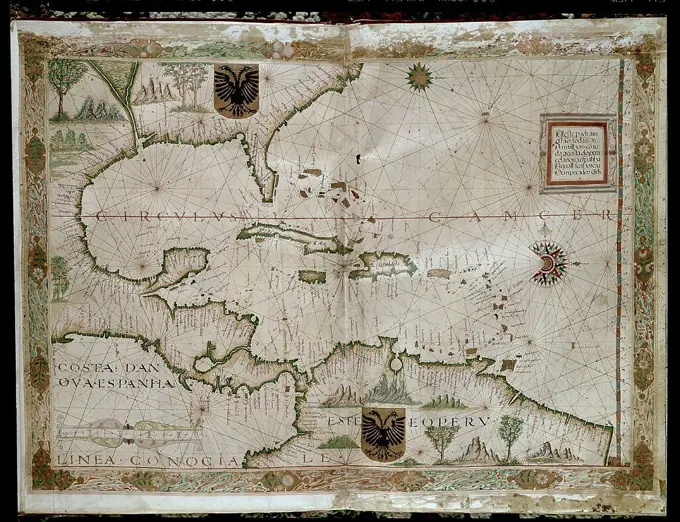
Cartography, 16th century. Map of Nordic countries and Lapland. From Carta Marina (Sea Map) by Olaus Magnus, 1539.
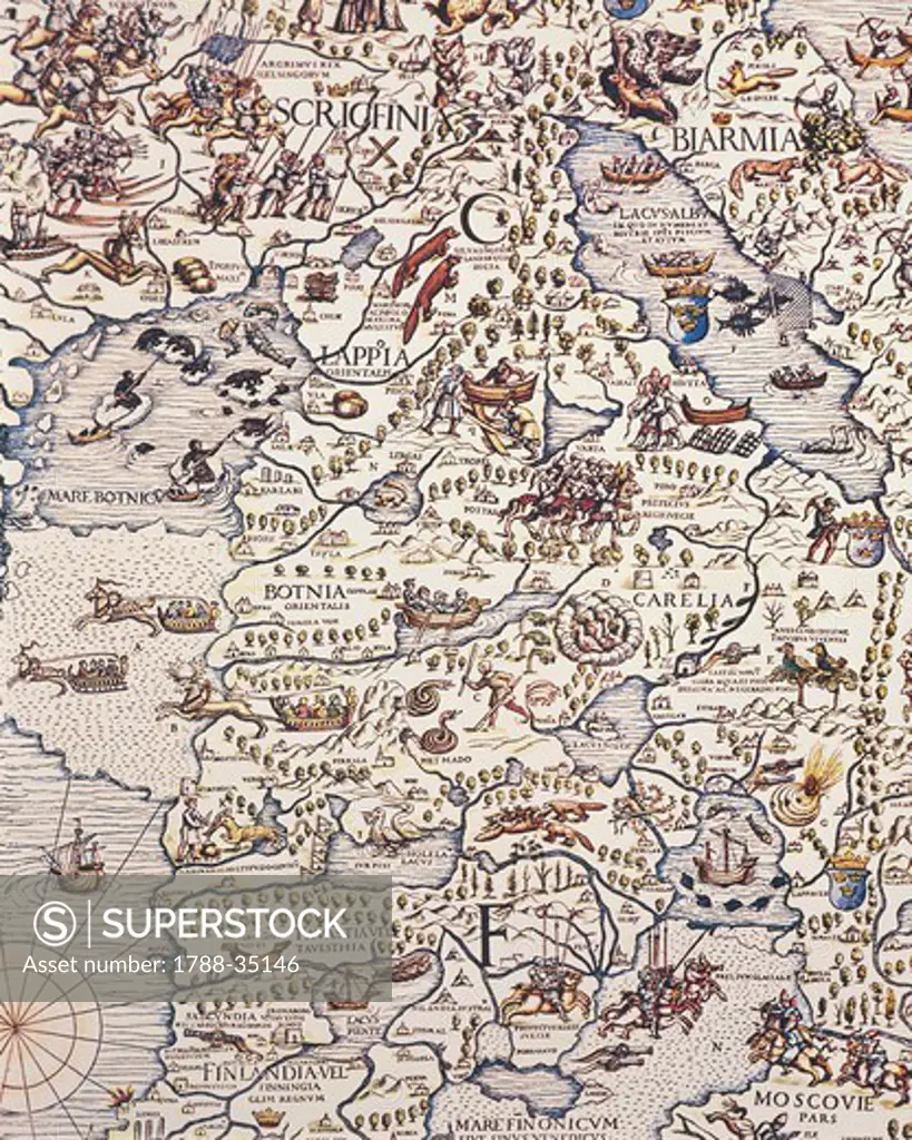
SuperStock offers millions of photos, videos, and stock assets to creatives around the world. This image of Cartography, 16th century. Map of Nordic countries and Lapland. From Carta Marina (Sea Map) by Olaus Magnus, 1539. by DeAgostini is available for licensing today.
More from Historical Maps of Various Regions story View All


Looking for a license?
Click here, and we'll help you find it! Questions? Just ask!
Click here, and we'll help you find it! Questions? Just ask!
DETAILS
Image Number: 1788-35146Rights ManagedCredit Line:DeAgostini/SuperStockCollection:DeAgostini Contributor:DeAgostini Model Release:NoProperty Release:NoResolution:3973×4966