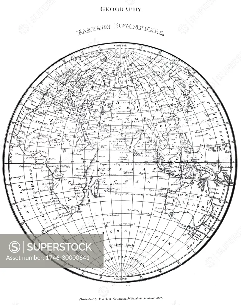
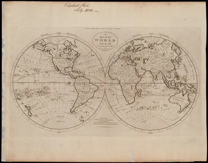
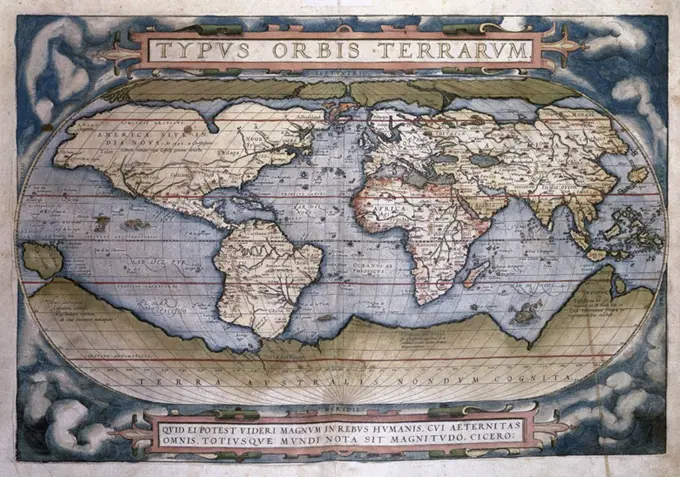
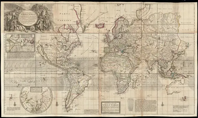
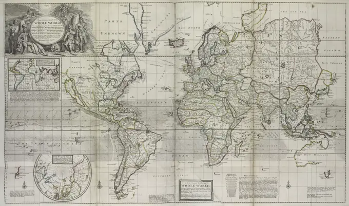
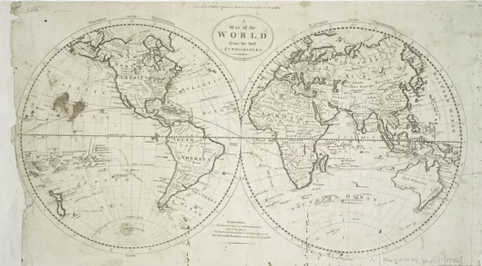
A map of the Eastern Hemisphere as of 1816. Dated 19th century
SuperStock offers millions of photos, videos, and stock assets to creatives around the world. This image of A map of the Eastern Hemisphere as of 1816. Dated 19th century by World History Archive/Image Asset Management is available for licensing today.
Visually Similar More from World Maps from Historical Perspectives story


Looking for a license?
Click here, and we'll help you find it! Questions? Just ask!
Click here, and we'll help you find it! Questions? Just ask!
DETAILS
Image Number: 1746-30000641Rights ManagedCredit Line:World History Archive/Image Asset Management/SuperStockCollection:Image Asset Management Story:World Maps from Historical PerspectivesContributor:World History Archive Model Release:NoProperty Release:NoResolution:4073×5149