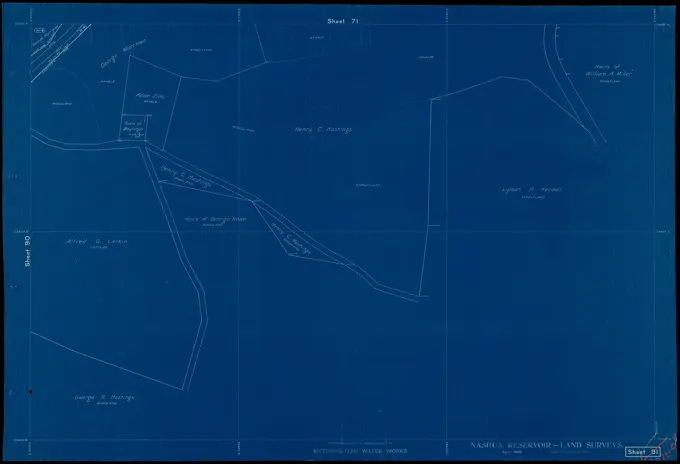
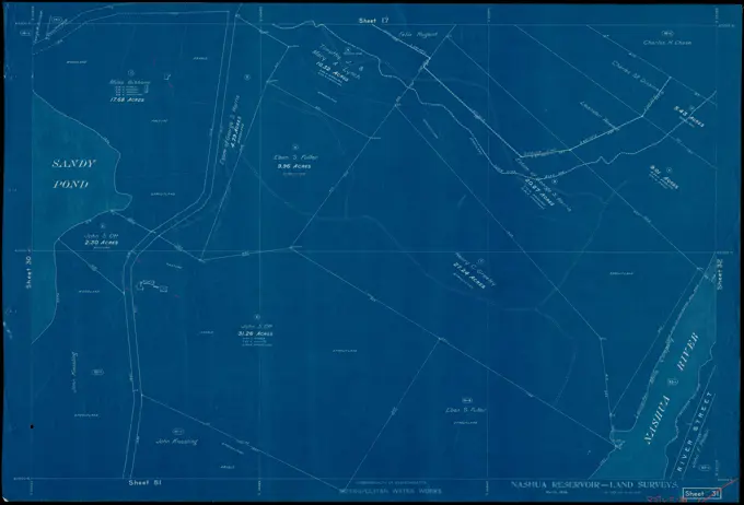
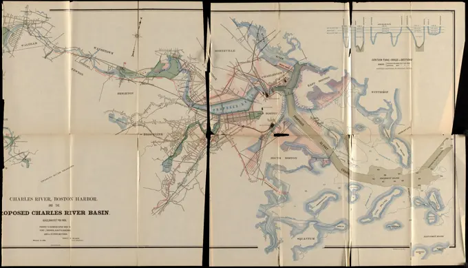
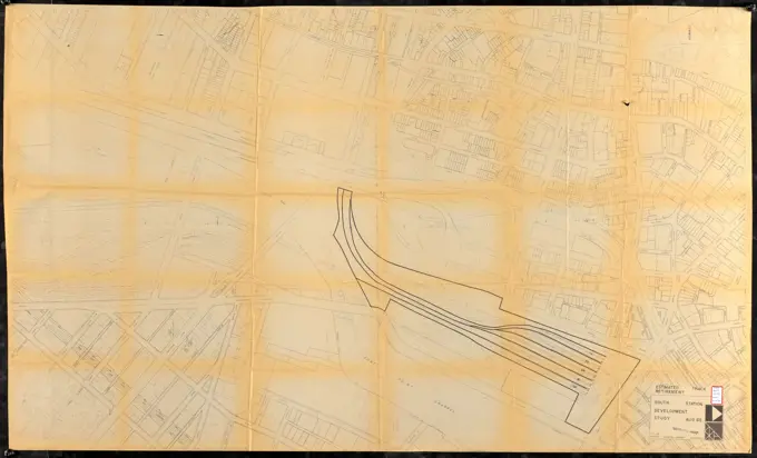
Jemez Mountain Trail - Jemez Mountain Trail Wall Map. A map and relief model show the terrain of the Byway inside the Walatowa Visitor Center. New Mexico (35.644° N 106.726° W)
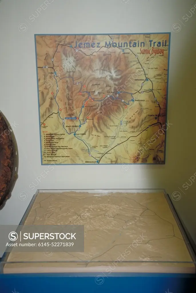
SuperStock offers millions of photos, videos, and stock assets to creatives around the world. This image of Jemez Mountain Trail - Jemez Mountain Trail Wall Map. A map and relief model show the terrain of the Byway inside the Walatowa Visitor Center. New Mexico (35.644° N 106.726° W) by piemags/PL Photography Limited is available for licensing today.
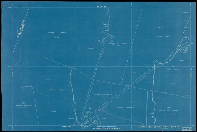
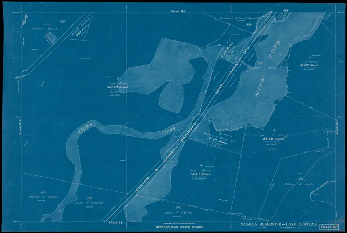
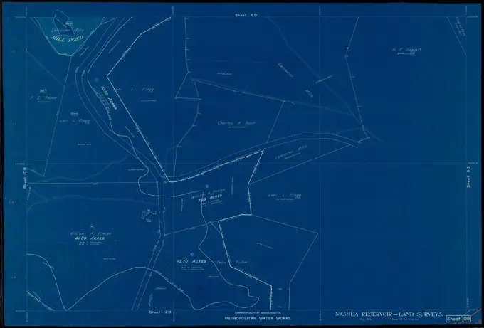
Visually Similar More from Historical Land Surveys story


Looking for a license?
Click here, and we'll help you find it! Questions? Just ask!
Click here, and we'll help you find it! Questions? Just ask!
DETAILS
Image Number: 6145-52271839Royalty FreeCredit Line:piemags/PL Photography Limited/SuperStockCollection:PL Photography Limited Story:Historical Land SurveysContributor:piemags Model Release:NoProperty Release:NoResolution:966×1443