This image of the Pacific Ocean was produced using sea surface height measurements taken by NASA's U.S./French TOPEX/Poseidon satellite.
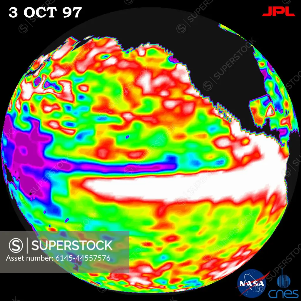
SuperStock offers millions of photos, videos, and stock assets to creatives around the world. This image of This image of the Pacific Ocean was produced using sea surface height measurements taken by NASA's U.S./French TOPEX/Poseidon satellite. by Piemags/PL Photography Limited is available for licensing today.
Looking for a license?
Click here, and we'll help you find it! Questions? Just ask!
Click here, and we'll help you find it! Questions? Just ask!
DETAILS
Image Number: 6145-44557576Royalty FreeCredit Line:Piemags/PL Photography Limited/SuperStockCollection:PL Photography Limited Story:Global Climate Change VisualsContributor:Piemags Model Release:NoProperty Release:NoResolution:2000×2000