This image acquired by NASA's Shuttle Radar Topography Mission (SRTM) from data collected on February 12, 2000 shows two islands, Miquelon and Saint Pierre, located south of Newfoundland, Canada.
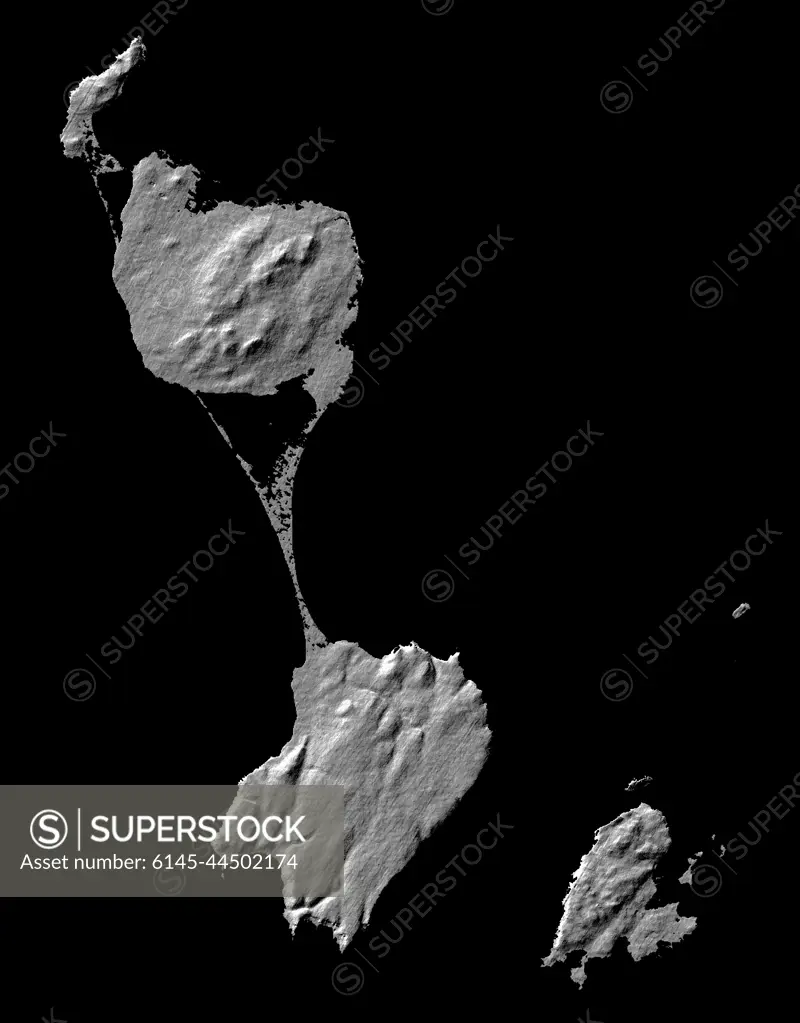
SuperStock offers millions of photos, videos, and stock assets to creatives around the world. This image of This image acquired by NASA's Shuttle Radar Topography Mission (SRTM) from data collected on February 12, 2000 shows two islands, Miquelon and Saint Pierre, located south of Newfoundland, Canada. by Piemags/PL Photography Limited is available for licensing today.
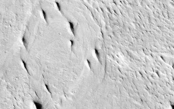
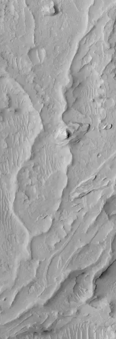
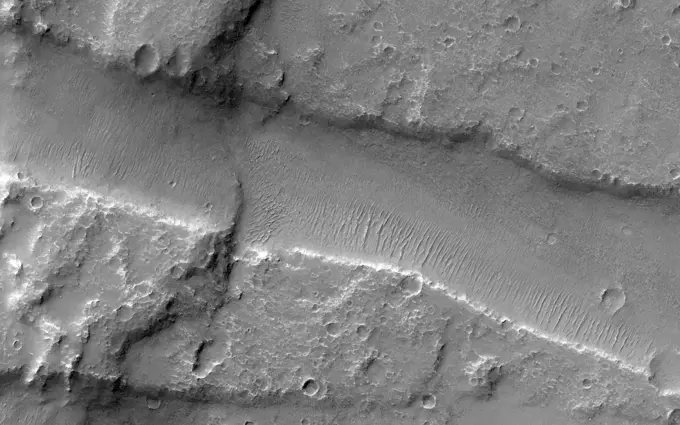
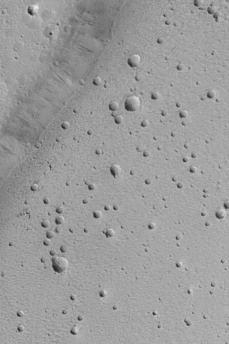
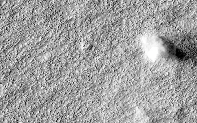
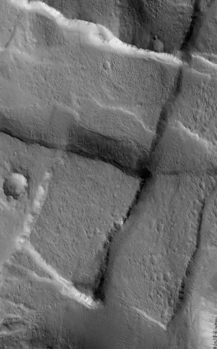
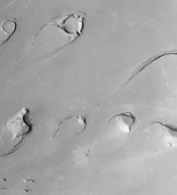
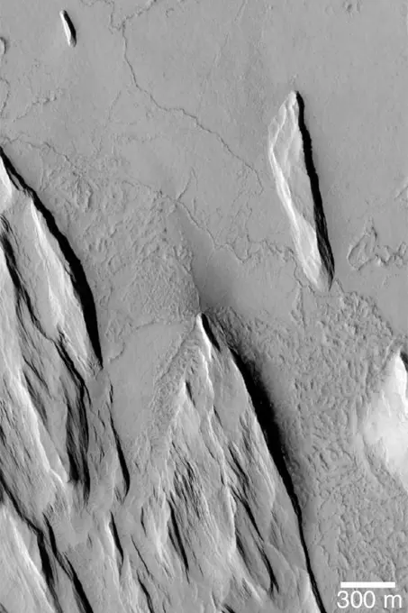
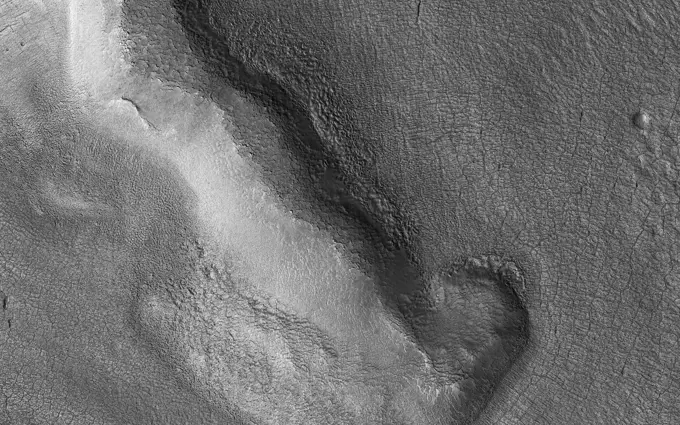
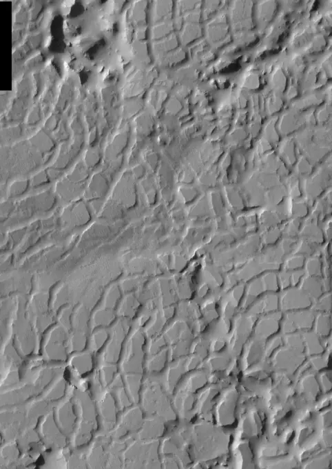
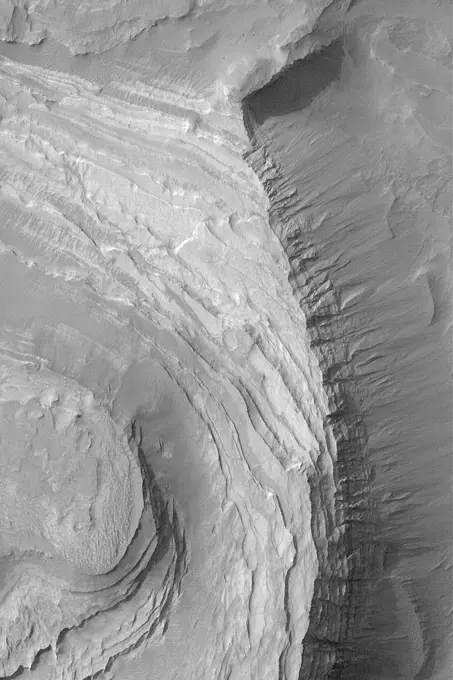
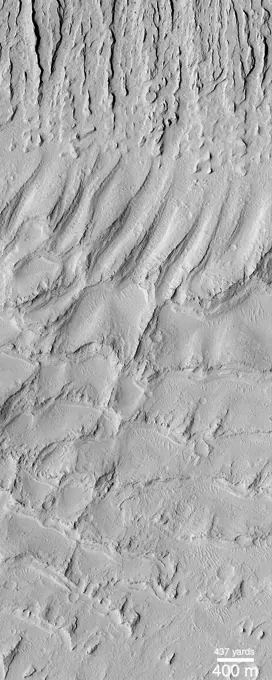
Visually Similar More from Martian Geological Features story


Looking for a license?
Click here, and we'll help you find it! Questions? Just ask!
Click here, and we'll help you find it! Questions? Just ask!
DETAILS
Image Number: 6145-44502174Royalty FreeCredit Line:Piemags/PL Photography Limited/SuperStockCollection:PL Photography Limited Story:Martian Geological FeaturesContributor:Piemags Model Release:NoProperty Release:NoResolution:2257×2887