This global digital map of Rhea was created using data taken during NASA's Cassini and Voyager spacecraft flybys. This map contains data from Cassini's Jan. 11, 2011, flyby of Rhea. Six Voyager images fill gaps in Cassini's coverage of the north pole.
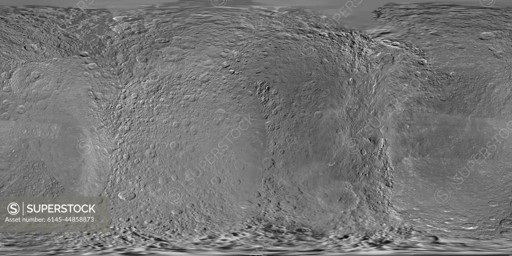
SuperStock offers millions of photos, videos, and stock assets to creatives around the world. This image of This global digital map of Rhea was created using data taken during NASA's Cassini and Voyager spacecraft flybys. This map contains data from Cassini's Jan. 11, 2011, flyby of Rhea. Six Voyager images fill gaps in Cassini's coverage of the north pole. by Piemags/PL Photography Limited is available for licensing today.
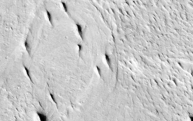
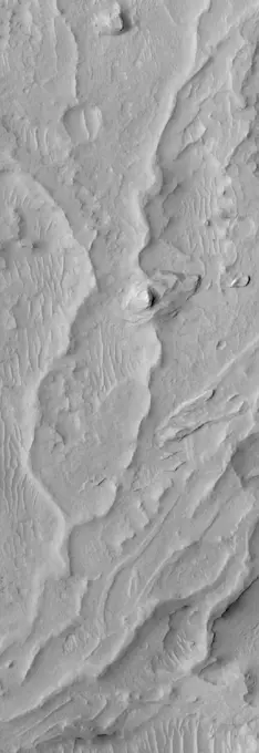
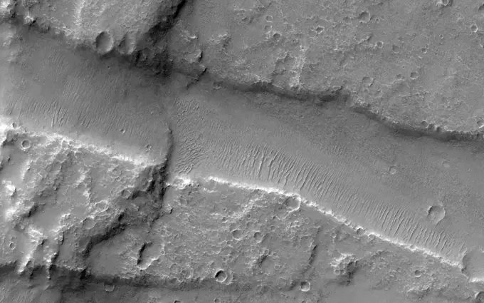
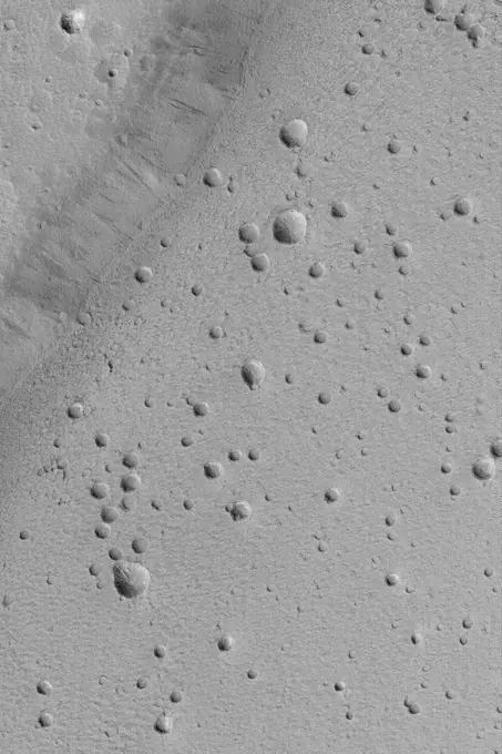
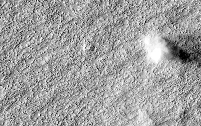
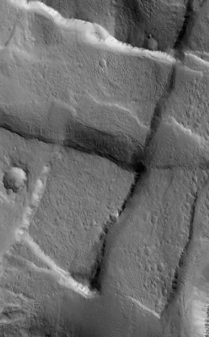
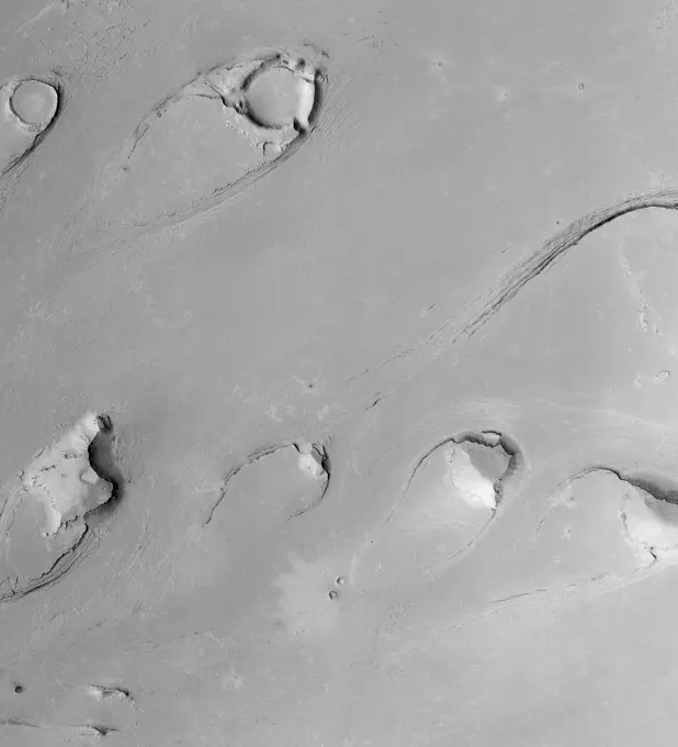
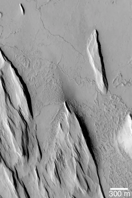
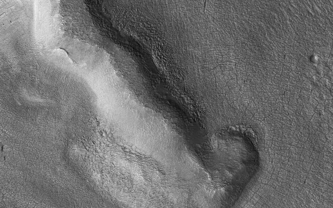
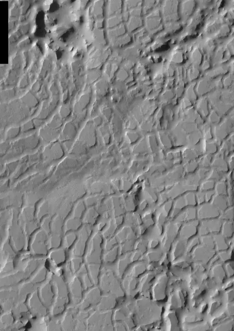
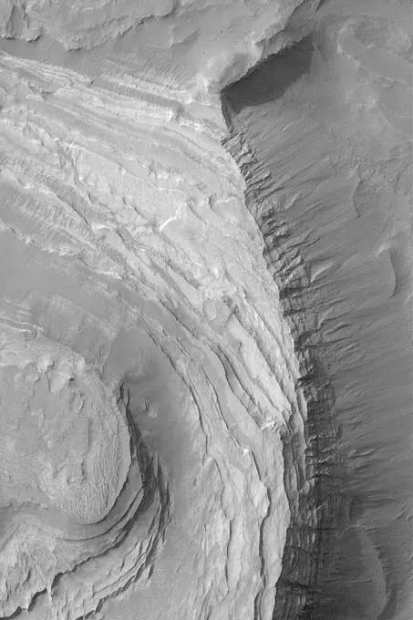
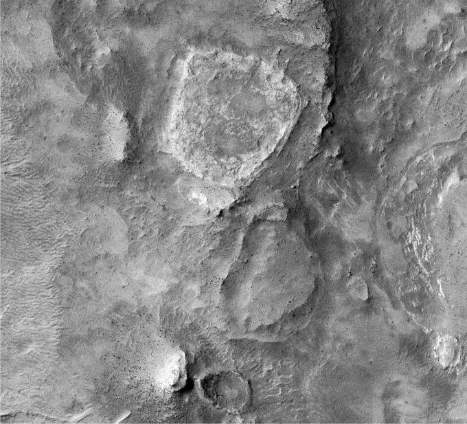
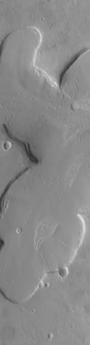
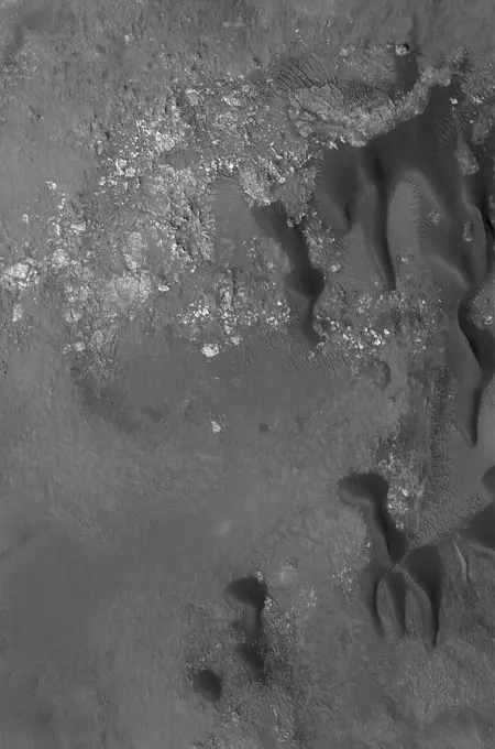
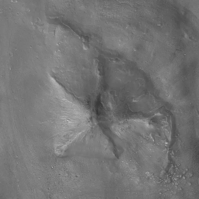
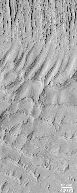
Visually Similar More from Martian Geological Features story


Looking for a license?
Click here, and we'll help you find it! Questions? Just ask!
Click here, and we'll help you find it! Questions? Just ask!
DETAILS
Image Number: 6145-44858873Royalty FreeCredit Line:Piemags/PL Photography Limited/SuperStockCollection:PL Photography Limited Story:Martian Geological FeaturesContributor:Piemags Model Release:NoProperty Release:NoResolution:11520×5760