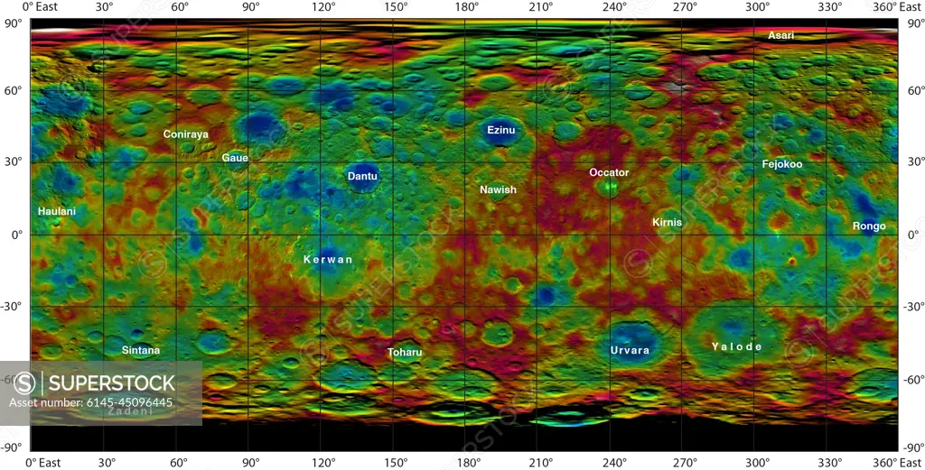
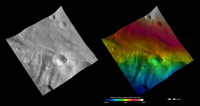
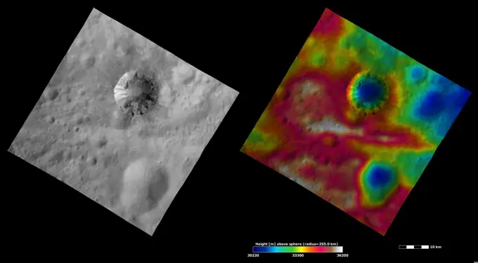
This color-coded map from NASA's Dawn mission shows the highs and lows of topography on the surface of dwarf planet Ceres. It is labeled with names of features approved by the International Astronomical Union.
SuperStock offers millions of photos, videos, and stock assets to creatives around the world. This image of This color-coded map from NASA's Dawn mission shows the highs and lows of topography on the surface of dwarf planet Ceres. It is labeled with names of features approved by the International Astronomical Union. by Piemags/PL Photography Limited is available for licensing today.
Visually Similar More from Mars and Vesta Geological Features story

Looking for a license?
Click here, and we'll help you find it! Questions? Just ask!
Click here, and we'll help you find it! Questions? Just ask!
DETAILS
Image Number: 6145-45096445Royalty FreeCredit Line:Piemags/PL Photography Limited/SuperStockCollection:PL Photography Limited Story:Mars and Vesta Geological FeaturesContributor:Piemags Model Release:NoProperty Release:NoResolution:3281×1671