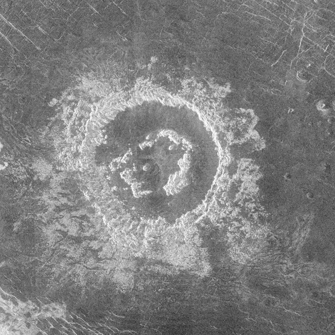
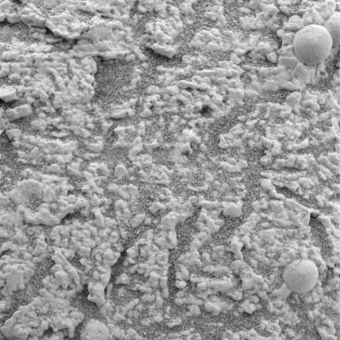
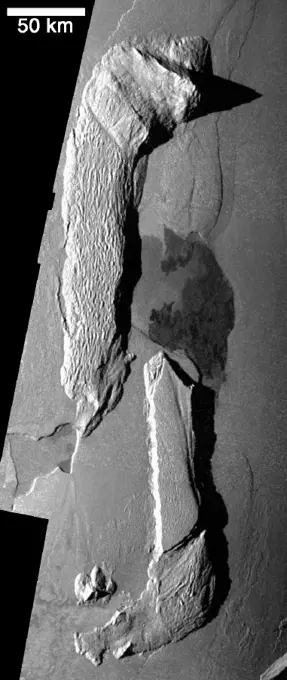
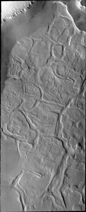
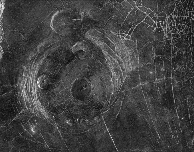
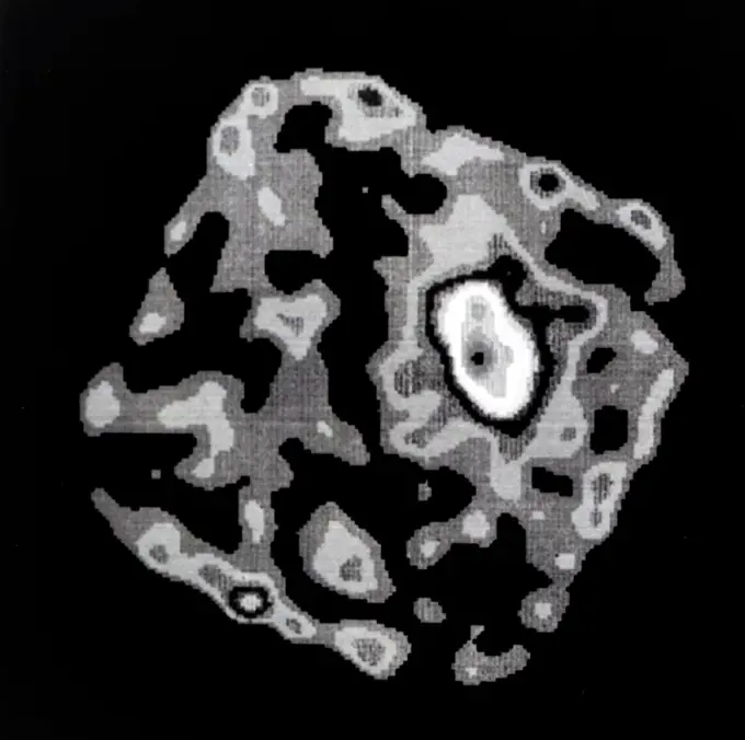
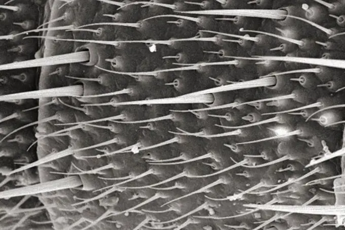
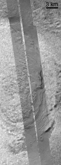
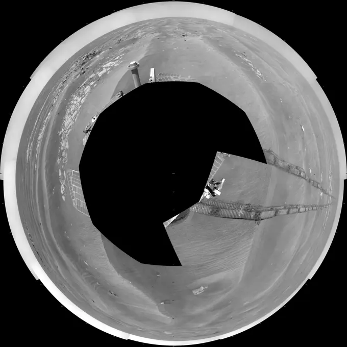
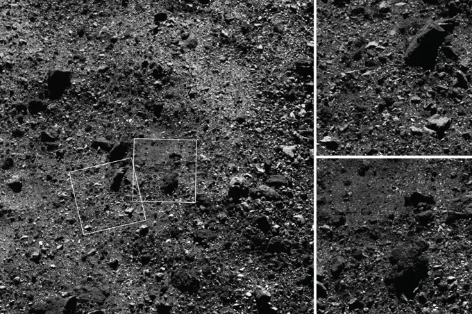
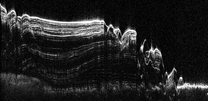
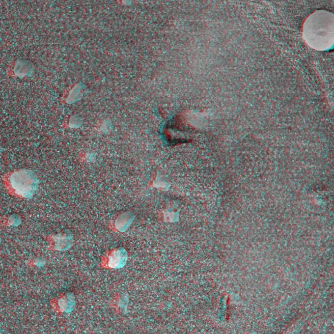
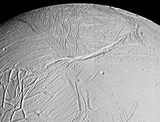
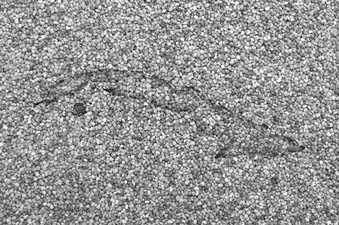
Textured Surfaces and Patterns

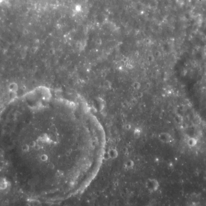
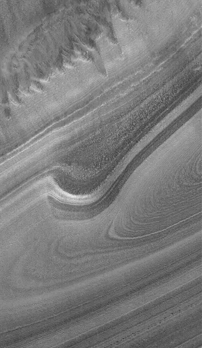
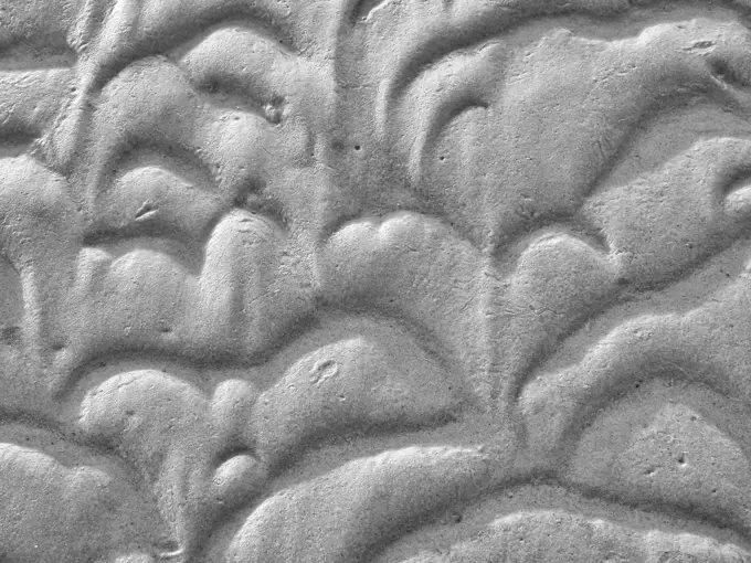
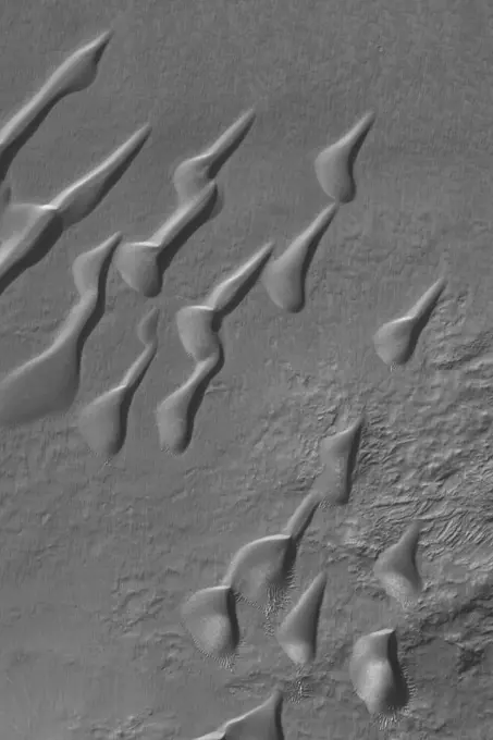
A diverse collection of images showcasing various textured surfaces, including cracks, geological structures, and unique patterns in nature, presented in monochrome.

Karte von Kuba auf Mohn - Map of Cuba on poppy seeds Karte von Kuba auf Mohn - Map of Cuba on poppy seeds Copyright: xZoonar.com/lantapixx 11300154
Perspective view of Arbela Sulcus, GanymedeThis image, taken by NASA's Galileo spacecraft, shows the darkside of Jupiter, the part not illuminated by sunlight. The curved line crossing from the lower left to the upper right is the auroral arc on the horizon.Mars Volcanism: Large, Fluid Lava FlowsDuring orbits 404 through 414 on 19-20 September 1990, Magellan imaged a peak-ring crater.Rabies virus. Transmission electron micrograph (TEM) of rabies viruses seen as numerous dark, bullet-shaped particles. This RNA virus is a Lyssavirus (Rhabdoviridae).Micrographs of milk, stored in different ways. Each photography includes about 1/1070 cubic etc. Milk. Magnification 640 times.These are the first pictures that NASA's Cassini spacecraft took of Jupiter's ring, a portion of which appears in each frame as an arc opening toward the right.This nighttime movie of the depths of the north pole of Saturn reveals a dynamic, active planet lurking underneath the ubiquitous cover of upper-level hazes. The defining feature of Saturn's north polar regionsTriton's Dark PlumeLarger Grains Suggest Presence of FluidThe vast hydrocarbon seas and lakes (dark shapes) near the north pole of Saturn's moon Titan sprawl out beneath the watchful eye of NASA's Cassini spacecraft. Scientists are studying images like these for clues about how Titan's hydrocarbon lakes formed.Today's VIS image shows a small portion of Olympia Undae. Olympia Undae is a large dune field that dominates the plains along part of the north polar cap. This dune field surrounds 1/3 of the north polar cap and is the largest of several dune fields that encircle the pole. This VIS image was collected during summer. It is during this season that winds are able to move sand sized particles, slowly modifying the dunes. Orbit Number 80435 Latitude 80.777 Longitude 225.9 Instrument VIS Captured 2020-02-01 08 36This MOC image shows an unconformity in an exposure of north polar layered material, at which older layers were cut-off and eroded before a new suite of layers was deposited above themA rippled patch of sand in Becquerel Crater on Mars moved about two meters (about two yards) between November 24, 2006 and September 5, 2010, in one of two images taken by NASA's Mars Reconnaissance Orbiter.This image captured by NASA's 2001 Mars Odyssey spacecraft shows a small portion of Olympia Undae, an extensive dune field near the north polar cap.Nighttime IR EjectaRifting at Hi'iaka Patera, IoEvidence for Recent Liquid Water on Mars:Weeping Layer in Gorgonum ChaosNatural imprint of the traces of a vertebrate of the continent of the Triassic period, vintage engraved illustration. From the Universe and Humanity, 1910.The orthogonal ridges in this image captured by NASA's 2001 Mars Odyssey spacecraft are located near the south polar cap of Mars.The dissected appearing surface in this image captured by NASA's Mars Odyssey spacecraft is called Hyperboreus Labyrinthus, located just south of the north polar cap. The linear depressions are most likely caused by tectonic stress.This image captured by NASA's 2001 Mars Odyssey spacecraft shows dust devil tracks on the plains of Aonia Terra.Transmission electron micrograph (TEM) of the skeletal muscle also called musculus skeleti of a hamster tongue. Magnification x11200.This 2001 Mars Odyssey image shows the sand sheet with surface dune forms located on the floor of Richardson Crater.This image captured by NASA's 2001 Mars Odyssey spacecraft shows part of Olympia Undae, a large sand sea located near the north polar cap.This MOC image shows dark lava flows that have embayed -- flowed up against and into -- higher, more rugged terrain in the Cyclopia/Aethiopis region of Mars (southwest of Cerberus)This radar image from NASA's Magellan spacecraft shows a region located in a vast plain to the south of Aphrodite Terra. The data for this image was obtained in January 1991.Vugs Provide Clues to Martian PastPhotograph of a cluster of galaxies known as Abell 2256. Galaxy clusters are traditionally strong x-ray emitters. The emission originates in the hot gas which is swept out of colliding galaxies and accumulates between galaxies. The gases are typically tens of millions degrees in temperature. The German Roentgen Satellite (ROAST) captured this "first light" image as part of the satellite's orbital calibration and verification phase during June and July using NASA provided High Resolution Imager (Mariner 9 View of Arsia SilvaMicroscopic Detail of Dragonfly's AntennaDust Devils Seen Streaking Across Mars: PART 1--What Are TheseMicrograph of milk. Milk, kept 2 days in the refrigerator. Sample no. 23.Comparison of Ganymede and Europa featuresThese two images taken one day apart by the MARCI weather camera on NASA's Mars Reconnaissance Orbiter reveal when an asteroid impact made the scar seen in the right-hand image.Craters and CracksDefrosting North Polar Dune FieldThis anaglyph, from NASA's Shuttle Radar Topography Mission, is of the Iturralde Structure, Bolivia, a possible impact crater. 3D glasses are necessary to view this image.Micrograph of milk. Milk Stored 1 day at 20 ° C. Sample no. 43.Micrograph of milk. Milk Stored 1 day at 20 ° C. Sample no.11.Syrtis Major Dunes Seen By Mars Global SurveyorMid-Latitude Sedimentary Rock: Spallanzani CraterWall FallNorth Polar Layers. Olympia Undae. This VIS image of Olympia Undae was collected during north polar spring. The dune crests are losing the winter frosts, revealing the dark sand beneath. The density of dunes and the alignments of the dune crests varies with location, controlled by the amount of available sand and the predominant winds over time. Olympia Undae is a vast dune field in the north polar region of Mars. It consists of a broad sand sea or erg that partly rings the north polar cap from about 120° to 240°E longitude and 78° to 83°N latitude. The dune field covers an area of approximately 470,000 km2 (bigger than California, smaller than Texas). Olympia Undae is the largest continuous dune field on Mars. Olympia Undae is not the only dune field near the north polar cap, several other smaller fields exist in the same latitude, but in other ranges of longitude, e.g. Abolos and Siton Undae. Barchan and transverse dune forms are the most common. In regions with limited available sand individual barchEngraved Scaraboid. UnknownS70-20416 (December 1969) --- Enlarged view show hypervelocity impact on iron particles of lunar surface material returned to Earth by the crew of the Apollo 11 lunar landing mission. This photograph, enlarged to 270 times the actual size, was taken by Dr. G. J. Wasserberg, J. DeVaney and K. Evans at the California Institute of Technology.Von den Wellen geschaffene Struktur im Sand. Blick auf den Boden bei Ebbe. Naturfoto von der Küste *** from the Waves created Structure at Sand View at the Floor at Low tide Nature photo from the Coast 1132200106Ripples in Tempe Mensa RegionMid-latitude Dune FieldWiggling Its Way to DiscoveryAerial view of a part of the area affected during the flood disaster of 1953. Note: The description of this photo is not yet complete and will be supplemented on the basis of the data available at a later stage. However, of many photos of the flood disaster 1953, the location is unknown.Map of Central America on poppy seedsNASA's Solar TErrestrial RElations Observatory satellites have provided the first 3-dimensional images of the Sun. This view will aid scientists' ability to understand solar physics to improve space weather forecasting. 3D glasses are necessary.Exhibition.The Plains of Central Terra MeridianiJupiter Night-Side Auroras, North and SouthNASA's Magellan image mosaic shows the largest impact crater known to exist on Venus at this point in the Magellan mission. The crater is located north of Aphrodite Terra and east of Eistla Regio and was imaged during orbit 804 on November 12, 1990.Europa, Ganymede, and Callisto: Surface Comparison at High Spatial ResolutionThis Mars Global Surveyor (MGS) Mars Orbiter Camera (MOC) image shows polygonally patterned ground on the floor of a trough in the southern hemisphere of Mars. The polygons could be an indicator that ground ice is or was present at this locationSpectacular Layers Exposed in Becquerel CraterStructure of the mountain rocksSaturn's North Temperate RegionLeather Fern (Arachniodes adiantiformis) SEM close-up view of stomata on frond at 700x magnificationMOC View of Mars98 Landing Zone - 1/16/98Micrograph of milk. Milk Stored 1 week at 20 ° C. Sample no. 38.Aerial view of a part of the area affected during the flood disaster of 1953. Note: The description of this photo is not yet complete and will be supplemented on the basis of the data available at a later stage. However, of many photos of the flood disaster 1953, the location is unknown.Presented here are side-by-side comparisons of a traditional Cassini Synthetic Aperture Radar (SAR) view, at left, and one made using a new technique for handling electronic noise that results in clearer views of Titan's surface, at right.Spherical Objects Embedded in Martian RockThe Answer is in the Crests and Troughs -2Within Pluto's informally named Vega Terra region is a field of eye-catching craters that looks like a cluster of bright halos scattered across a dark landscape as seen by NASA's New Horizons.This scanning electron micrograph (SEM) depicts a number of highly magnified rod-shaped, motile, Gram-negative Salmonella infantis bacteria, some of which are attached, Magnification 11614x. Salmonella infantis is indeed one of the Salmonella spp. pathogens responsible for causing Salmonellosis. Clinical features of Salmonellosis include fever, abdominal cramps, and diarrhea, which is sometimes bloody. Occasionally these bacteria can establish a localized infection such as septic arthritis, or can even progress to sepsis, which occurs due to the systemic spread of these pathogens. The etiologic agents are members of the Gram-negative family of bacteria Enterobacteriaceae, of which approximately 2000 serotypes cause human disease, including Salmonella infantis. The incidence of salmonellosis is estimated at 1.4 million cases occurring annually in the United States, and of these, approximately 30,000 are culture-confirmed cases reported to CDC. See image n0830005 on the site.NASA's Mars Exploration Rover Opportunity used its navigation camera to take the images combined into this 360-degree polar view of the rover's surroundings on the 1,950th Martian day, or sol, of its surface mission (July 19, 2009).West Elysium Planitia CraterThis trio of images acquired by NASAs OSIRIS-REx spacecraft shows a wide shot and two close-ups of a region in asteroid Bennus northern hemisphere. The wide-angle image (left), obtained by the spacecrafts MapCam camera, shows a 590-foot (180-meter) wide area with many rocks, including some large boulders, and a “pond” of regolith that is mostly devoid of large rocks. The two closer images, obtained by the high-resolution PolyCam camera, show details of areas in the MapCam image, specifically a 50-foot (15 meter) boulder (top) and the regolith pond (bottom). The PolyCam frames are 101 feet (31 meters) across and the boulder depicted is approximately the same size as a humpback whale.The images were taken on February 25 while the spacecraft was in orbit around Bennu, approximately 1.1 miles (1.8 km) from the asteroids surface. The observation plan for this day provided for one MapCam and two PolyCam images every 10 minutes, allowing for this combination of context and detail of BenThis image shows a cross-section of a portion of the north polar ice cap of Mars, derived from data acquired from NASA's Mars Reconnaissance Orbiter's Shallow Radar instrument. The data depict the region's internal ice structure.Fuller RevealedKarte der Schweiz- Map of Switzerland Land mit verschiedenen Hintergruenden - Land with various backgrounds Copyright: xZoonar.com/lantapix,x 9672042This image from NASA's Mars Reconnaissance Orbiter was targeted to study knobs in Mars' northern plains, north of Scandia Crater. The knobs are clearly imaged, but what surprised scientists was a dust devil visible in the south-central part of the image.Oscar II (depicted - name).Oscar II (depicted - name)From the location where it came to rest after bounces, the Philae lander of the European Space Agency's Rosetta mission captured this view of a cliff on the nucleus of comet 67P/Churyumov-Gerasimenko. The feature is called 'Perihelion Cliff'.Contact sheet of old black and white film negatives on traditional photo paperA Grind Well DoneCRISM's Global Mapping of Mars, Part 3Ganymede - Ancient Impact Craters in Galileo RegioIo in EclipseOn this image of the rock target 'Knorr,' color coding maps the amount of mineral hydration indicated by a ratio of near-infrared reflectance intensities measured by the Mastcam on NASA's Mars rover Curiosity.Opportunity View of 'Gilbert' Layer (False Color)This 3-D anaglyph, from NASA's Mars Exploration Rover Spirit, shows a circular imprint left in the Meridiani Planum soil by the rover's Moessbauer spectrometer. 3D glasses are necessary.The International Astronomical Union recently approved names for 16 impact craters on Mercury. Several of the craters are from areas seen for the first time at close range by MESSENGER during its second Mercury flyby.Sand dunes cover this entire VIS image. The dunes are part of Olympia Undae, a huge dune field surrounding 1/4 of the northern polar cap. This image was collected during northern summer, and the dunes are frost free. Orbit Number 71391 Latitude 80.8754 Longitude 198.41 Instrument VIS Captured 2018-01-17 12 12Khensu Crater on GanymedeView of iron meterorite , Armories, Ordnance industry, Meteors.  Records of U.S. Army OperationalEngraved Gem. UnknownView of iron meterorite , Armories, Ordnance industry, Meteors.  Records of U.S. Army OperationalClose-Up of Saturn's Moon EnceladusThis perspective view, generated from high resolution images acquired by NASA's Cassini orbiter, highlights one of the wall scarps of the medial trough of Damascus Sulcus on Enceladus.