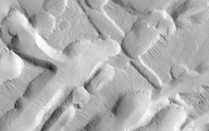
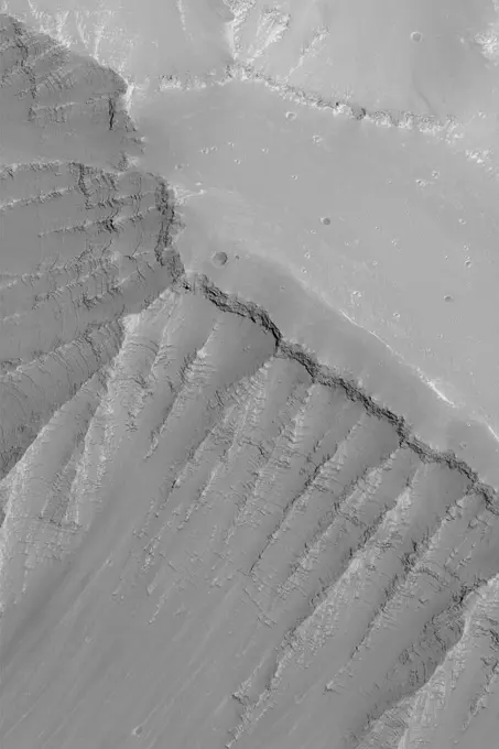
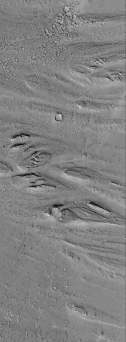
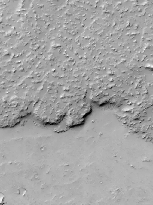
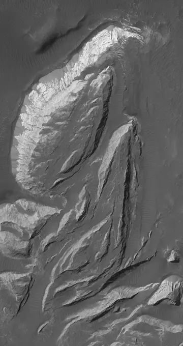
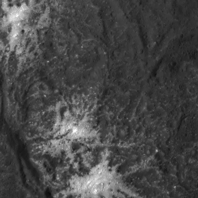
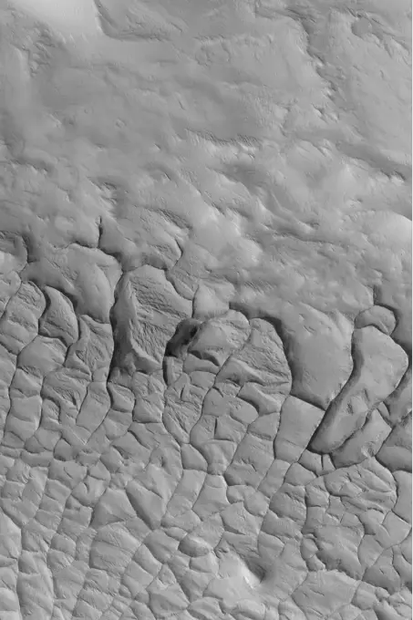
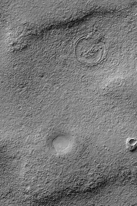
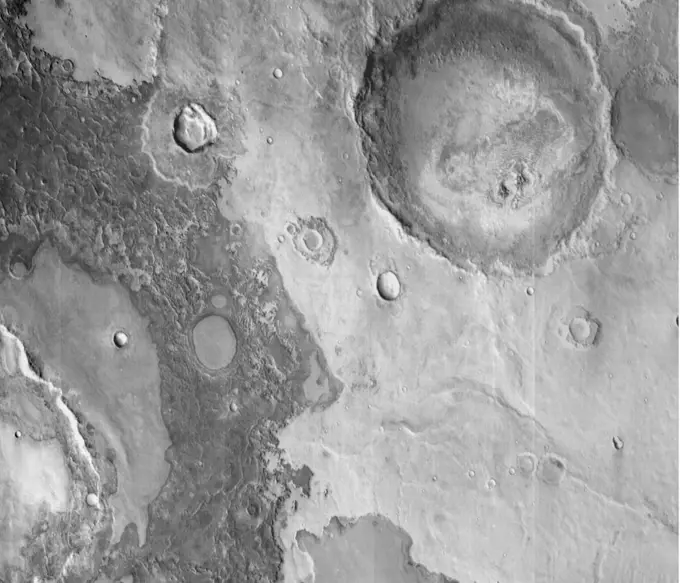
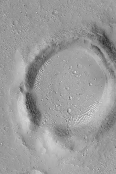
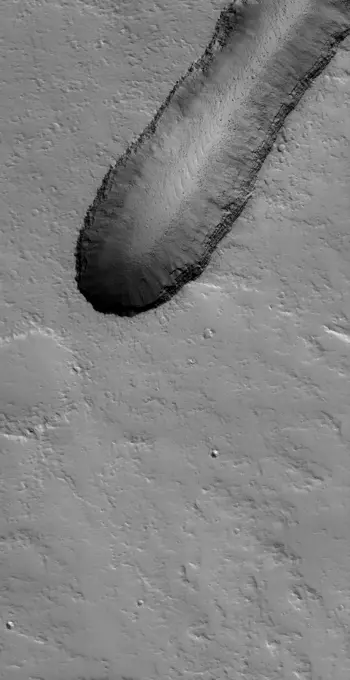
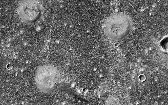
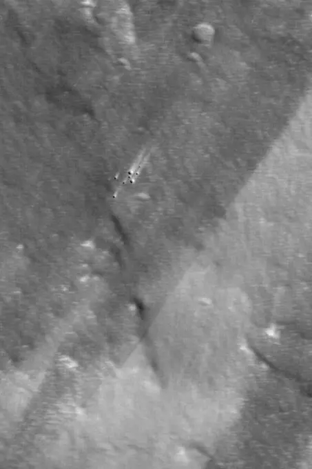
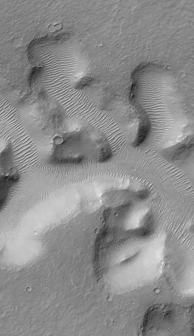
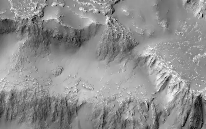
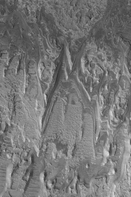
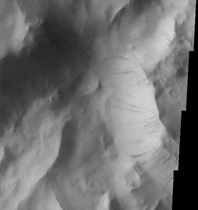
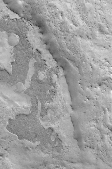
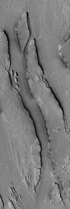
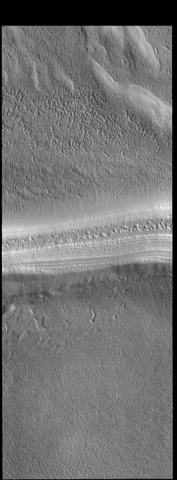
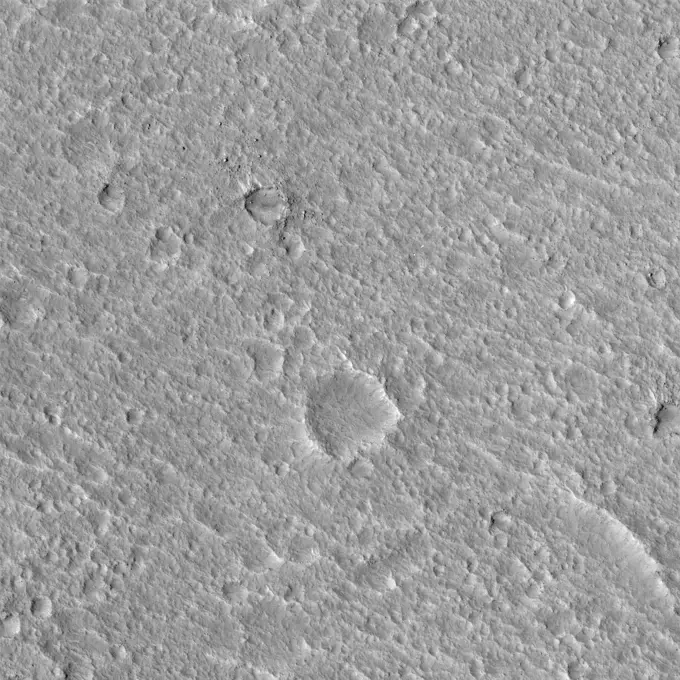
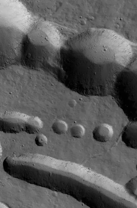
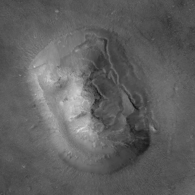
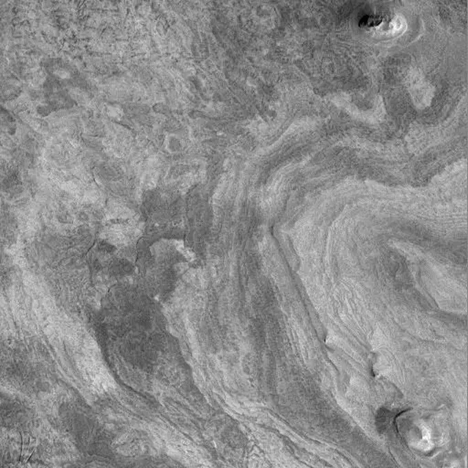
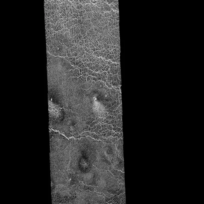
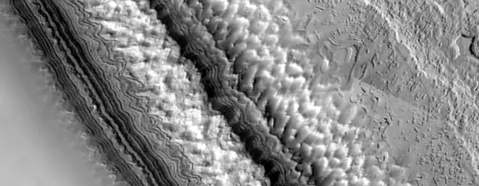
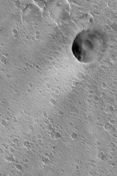
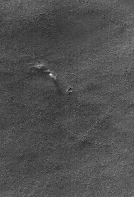
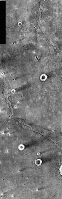
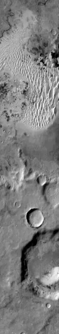
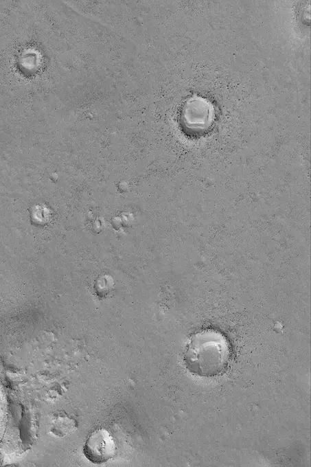
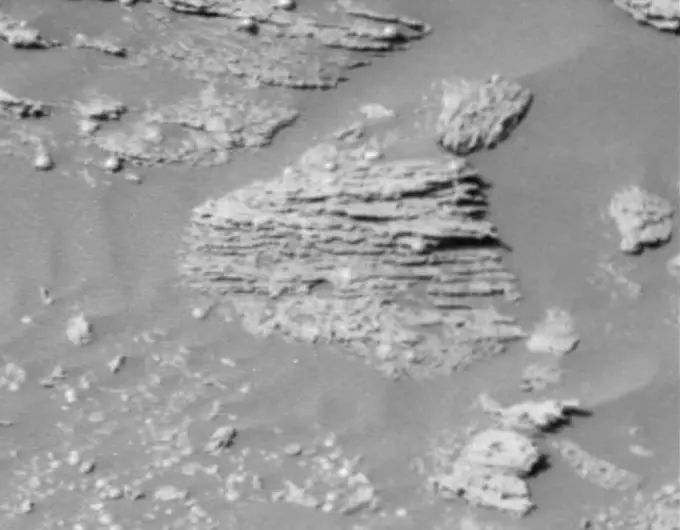
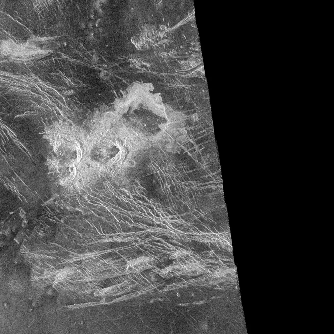
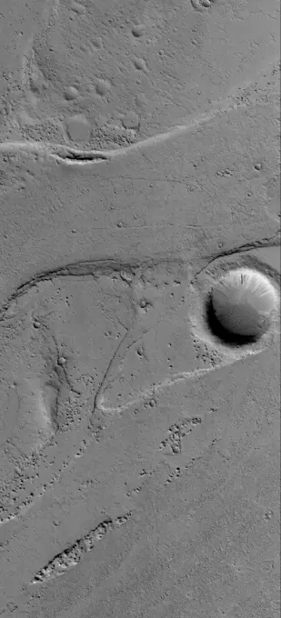
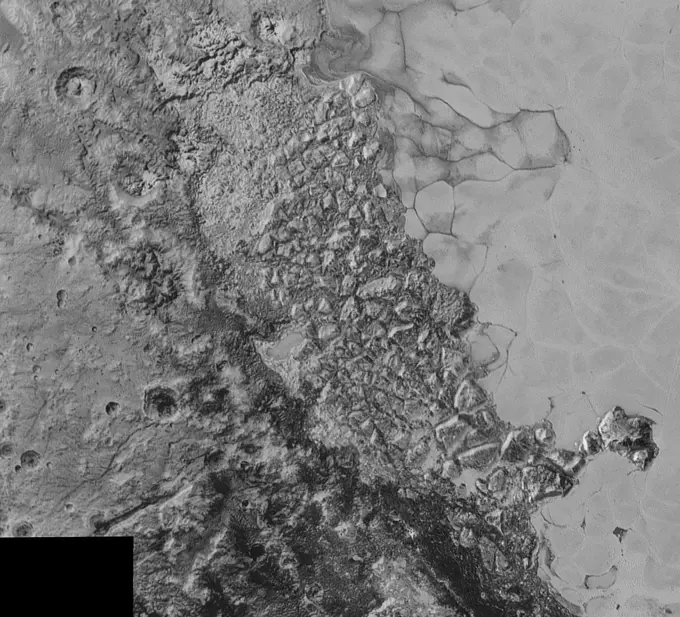
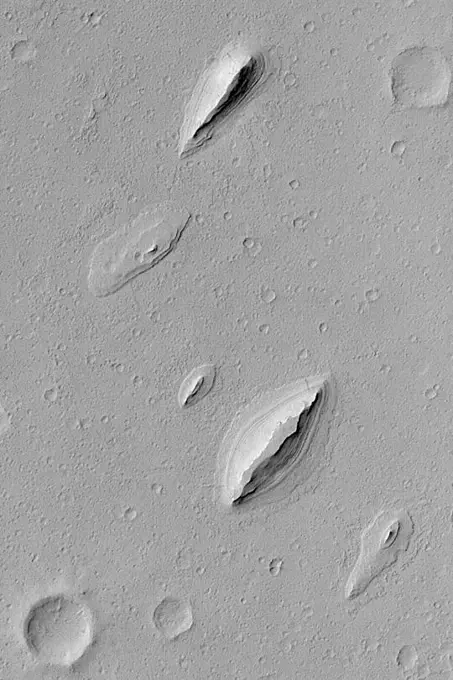
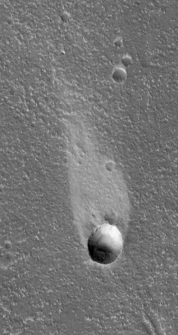
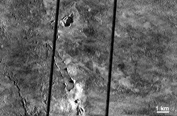
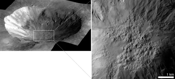
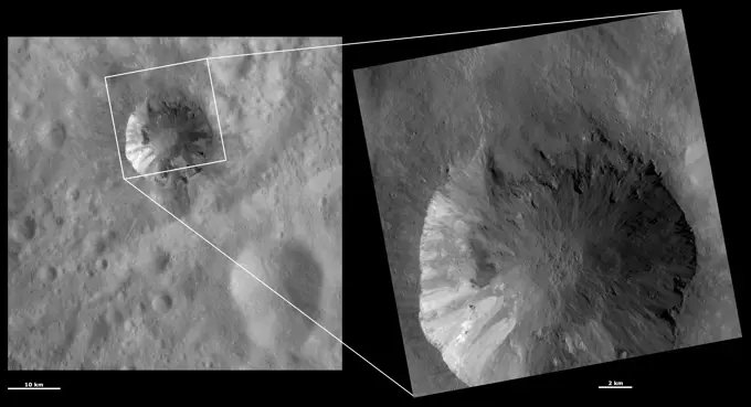
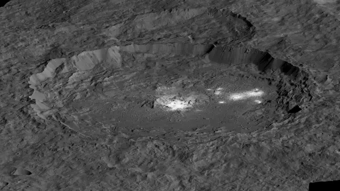
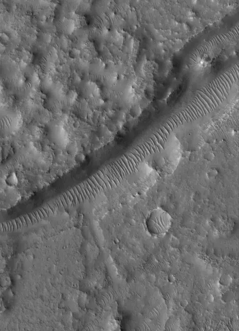
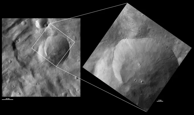
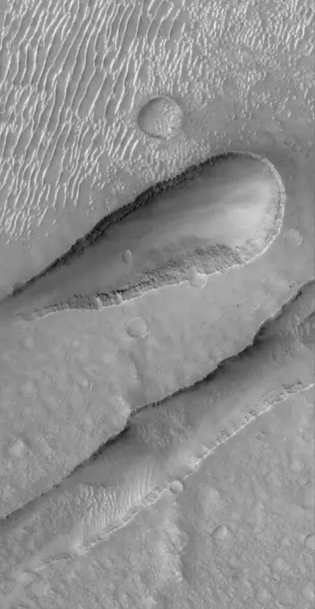
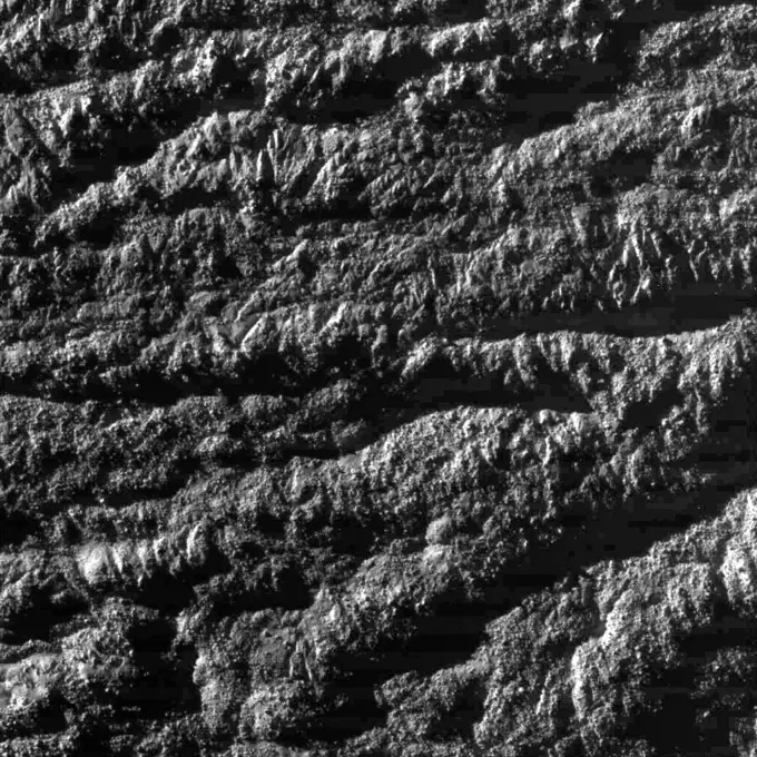
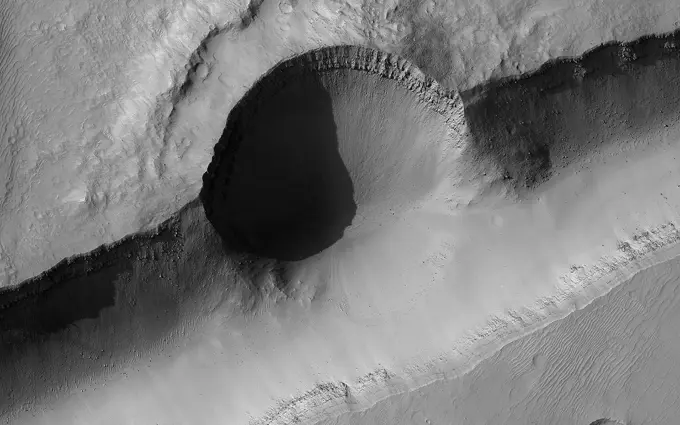
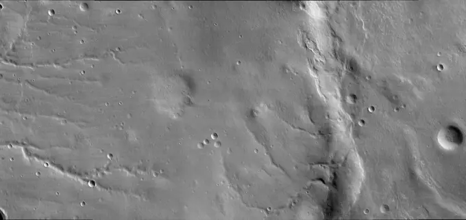
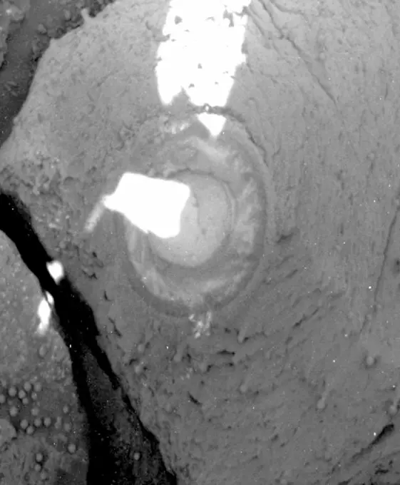
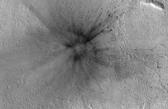
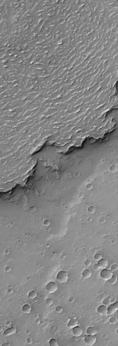
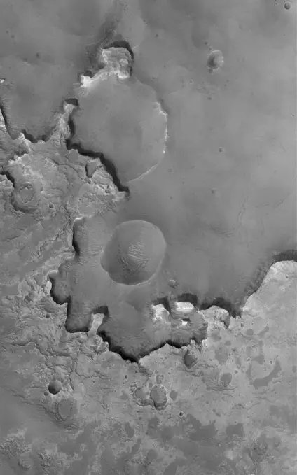
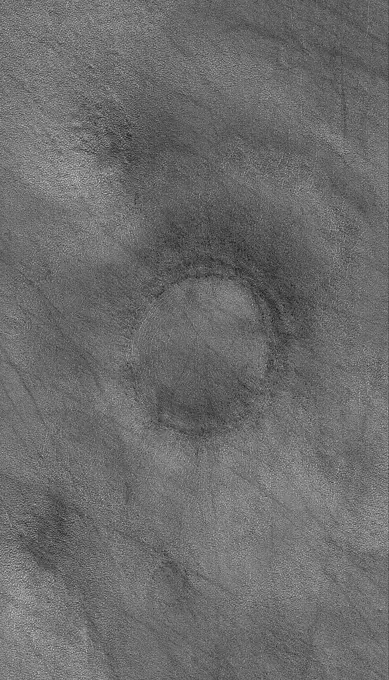
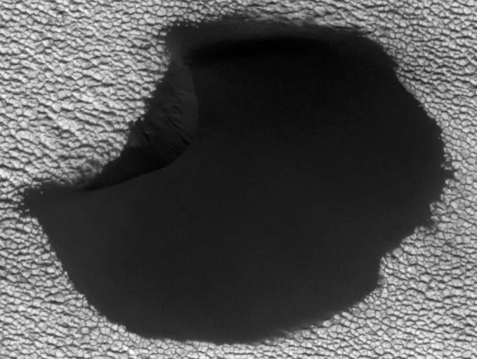
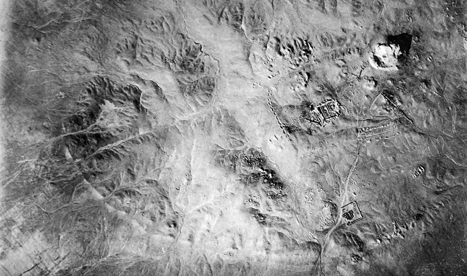
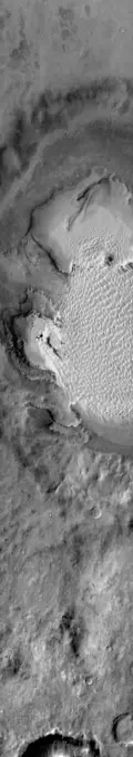
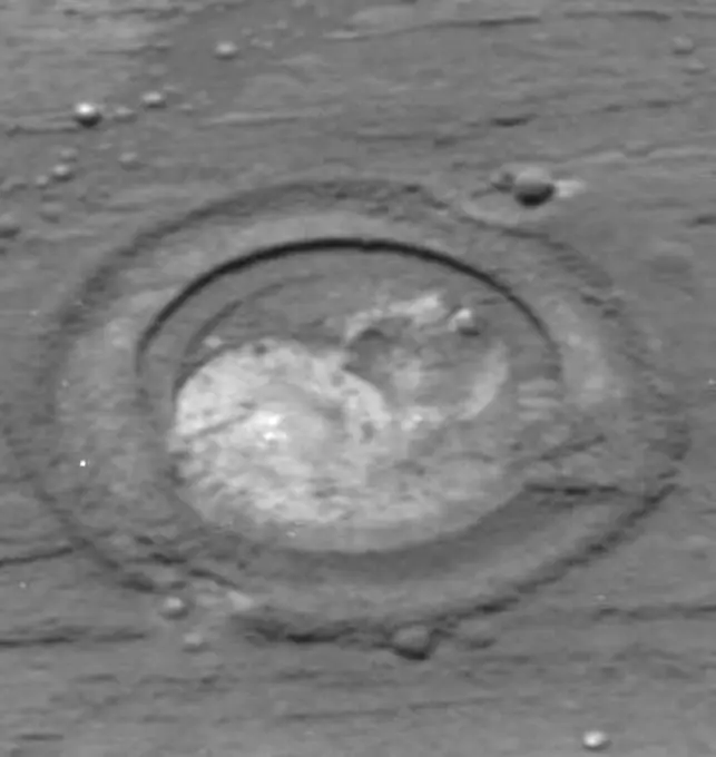
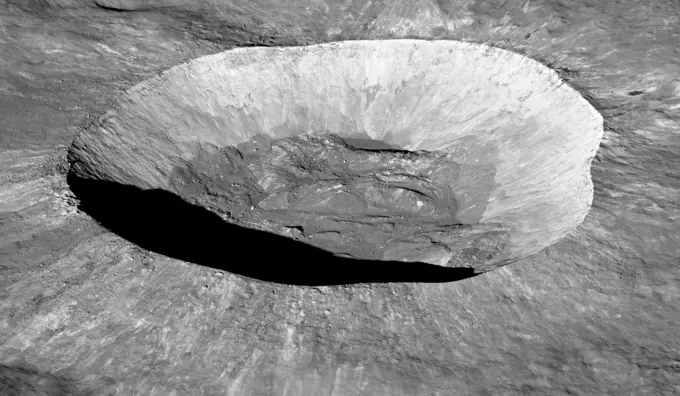
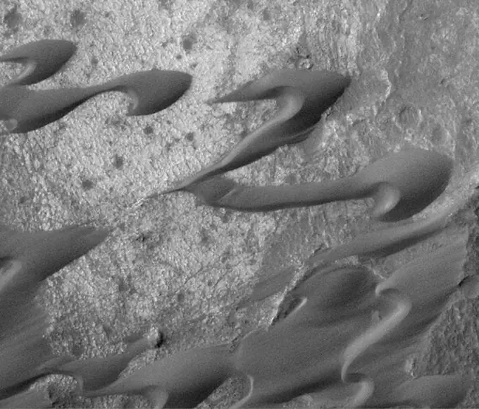
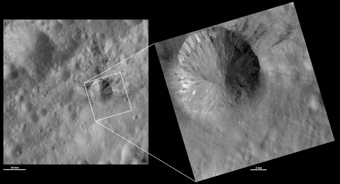
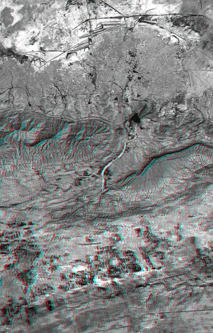
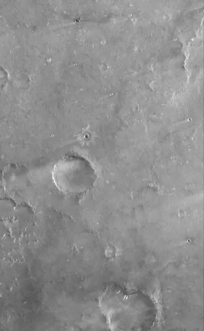
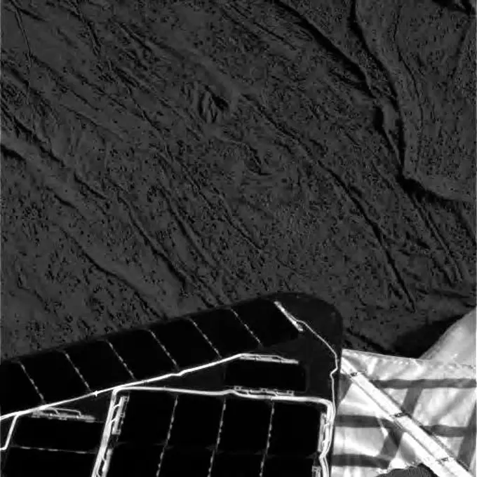
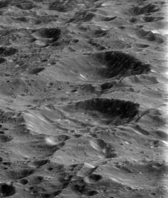
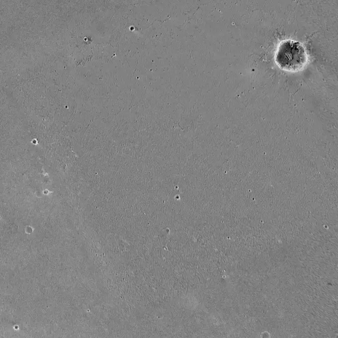
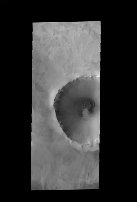
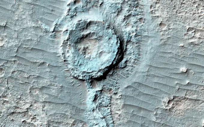
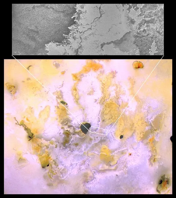
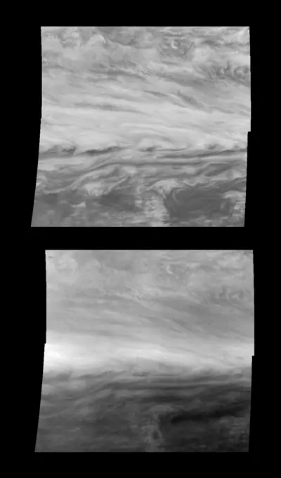
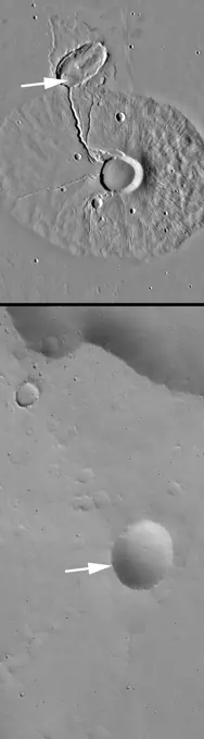
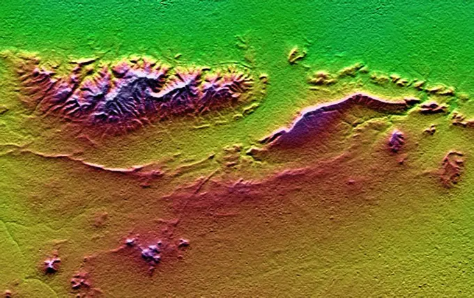
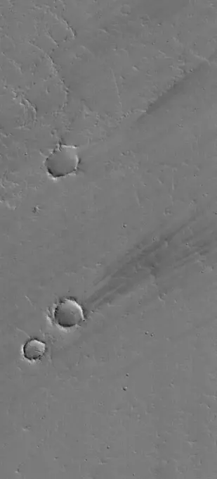
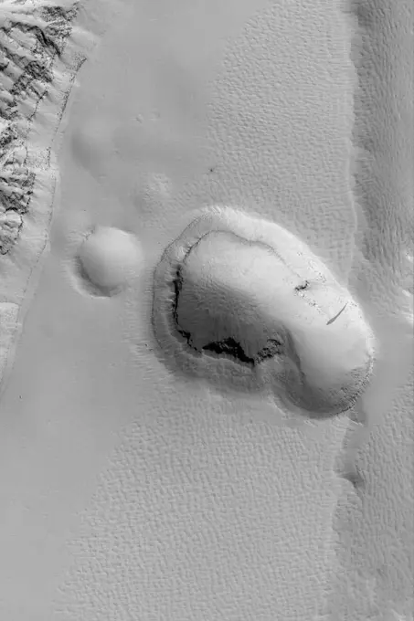
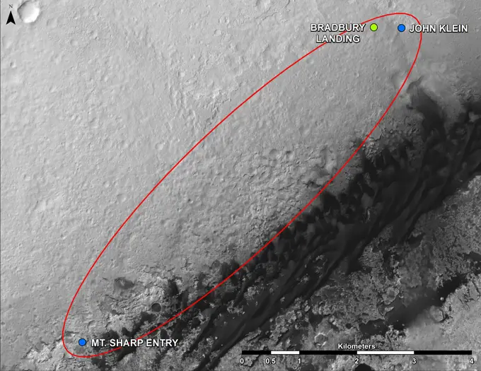
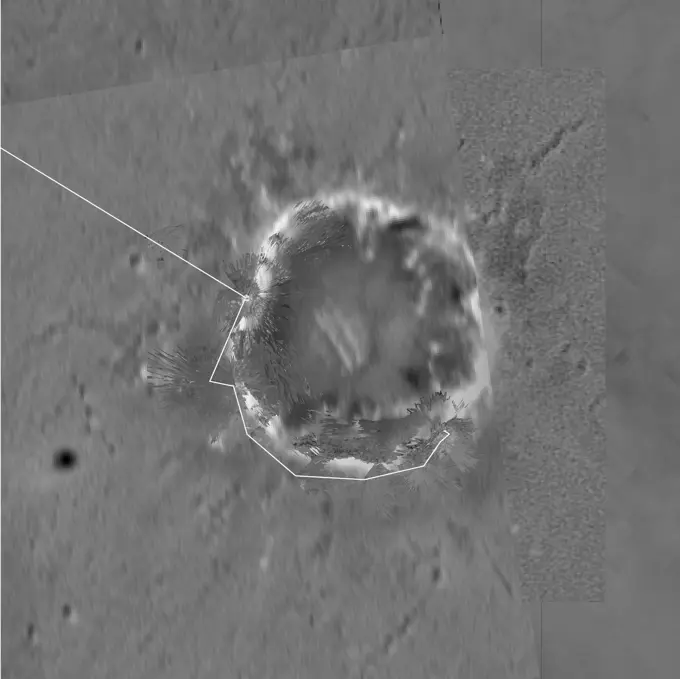
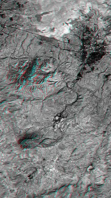
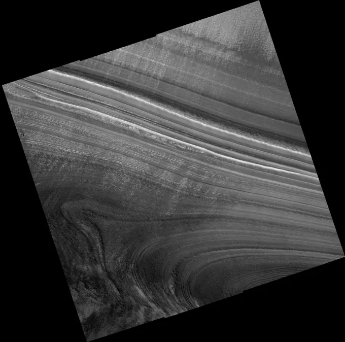
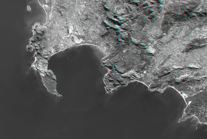
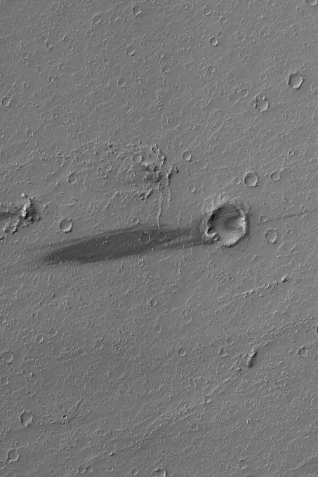
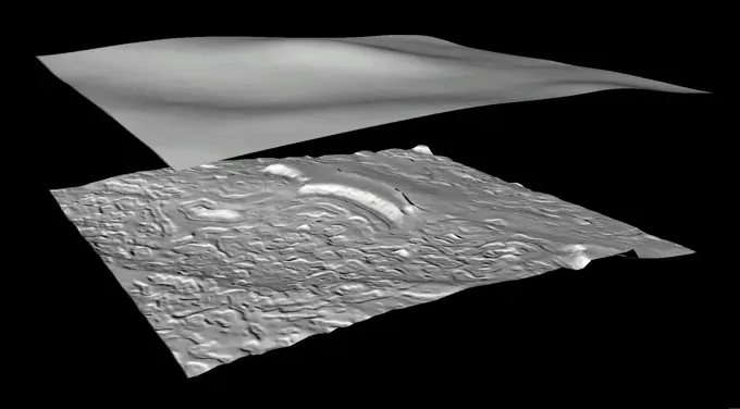
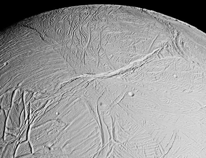
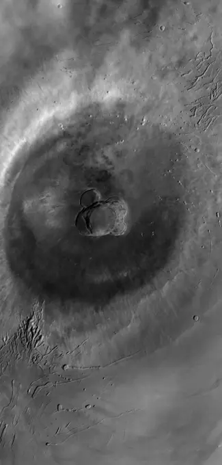
Martian and Venusian Landscapes

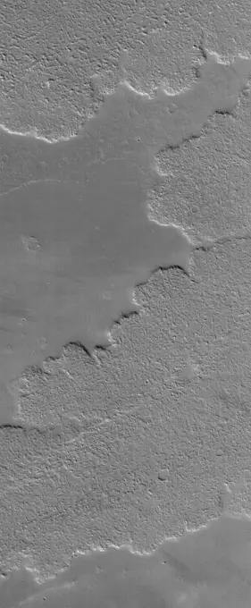
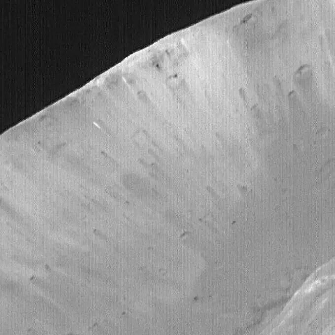
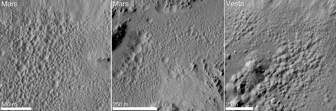
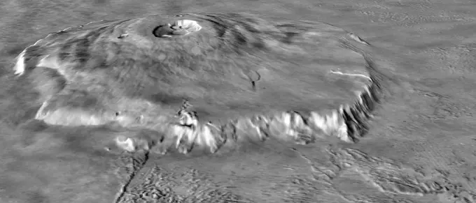
High-resolution images of Martian gullies, Venusian mountains, and eroded terrains, showcasing varied extraterrestrial geological features.

Martian Gullies
Martian Gullies

Assets in this Story

6145-44633169
Martian Gullies
1746-19671032
This Magellan full-resolution images show the northern part of the Akna Montes (mountains) of Venus.
6145-44600632
Northeast Arabia Terra
1746-19671090
Eroded, or 'etched' terrain dominates the field of view of this THEMIS visible image acquired over eastern Terra Meridiani.
6145-44616293
Ganges Sedimentary Rocks
6145-44629553
Hephaestus Troughs
6145-44654204
This MOC image shows a group of gullies formed on the equator-facing wall of a north mid-latitude crater. Gullies such as these might have formed from the erosive forces of liquid water
6145-44657104
This MOC image shows the termination (end) of a group of layers in the north polar region of Mars, where they have been buried by younger, smoother-surfaced material. The layers are the banded features at the right/lower right
6145-44626920
Olympus Mons in Day
6145-44645825
Inverted Channels
6145-44627215
Valley near Cydonia
6145-45071724
Lava flows south of Arsia Mons in Daedalia Planum transition from younger flows with elongated, sinuous morphologies to the northeast, to older, broader lobes and sheet flows to the southwest. This image is from NASA's Mars Reconnaissance Orbiter.
6145-44627497
Modified Valleys
6145-45057629
This observation from NASA's Mars Reconnaissance Orbiter shows an incredible diversity of ancient lava tubes and impact craters filled with sediment on the flank of Arsia Mons.
6145-44604645
Ius Chasma Layers
6145-44637155
Cerberus Flood Features
6145-44506738
Margin of Lava Flow in Daedalia Planum
6145-44636383
Frozen Frozen CO2
6145-44596626
Apollinaris Patera Surfaces
6145-44644873
This Mars Global Surveyor (MGS) Mars Orbiter Camera (MOC) image shows the margin of a lava flow on a cratered plain in the Athabasca Vallis region of Mars. Remarkably, the cratered plain in this scene is essentially free of bright, windblown ripples
6145-45098461
Ice (probably frozen nitrogen) that appears to have accumulated on the uplands on the right side of this image from NASA' New Horizons, is draining from Pluto's mountains onto the informally named Sputnik Planum.
6145-44639110
Northeast Isidis
6145-44628545
Features in Argyre
6145-44625399
Features in Aureum Chaos
6145-45264885
his image was obtained by NASA's Dawn spacecraft on July 1, 2018 from an altitude of about 29 miles (46 kilometers). The center of this picture is located at about 20.8 degrees north latitude and 241.2 degrees east longitude.
6145-44508130
MGS MOC Returns to Service Following Solar Conjunction Hiatus
6145-44602201
Exhumed Ridge Pattern
6145-44625394
A Tale of 3 Craters
6145-44982494
Nirgal Vallis is one of the largest and longest valley networks on Mars as seen by NASA's Mars Reconnaissance Orbiter.
6145-45099255
Kasei Valles is a valley system was likely carved by some combination of flowing water and lava. In some areas, erosion formed cliffs along the flow path resulting in water or lava falls as seen by NASA's Mars Reconnaissance Orbiter spacecraft.
6145-44617334
River drainage patterns provide clues to the rock types and erosional processes involved in landscape evolution.
6145-44573670
Wind Streaks on Daedalia Planum
6145-44561761
Ridges in Mars' South Polar Region
6145-44596127
Wind-Eroded Terrain in Tharsis
6145-44665182
Small Secondary Craters
6145-44605647
Tithonium Chasma's Sedimentary Rocks
6145-44561757
Crommelin Crater #1
1746-19671074
Infrared imaging from NASA's Mars Odyssey spacecraft shows signs of layering exposed at the surface in a region of Mars called Terra Meridiani.
6145-44602023
Ascraeus Mons Pits
6145-44639879
Ascraeus Depression
6145-58971814
The northern lowlands of Mars in this location are stippled with mounds, such as those visible throughout this image. These lighter-toned circular mounds with bowl-shaped depressions are easy to spot against the darker-toned floor. Scientists think these landforms are similar to mud volcanoes that are also found here on Earth. Mud volcanoes form as gas and liquid-rich sediment interacts underground. Over time, this slurry of mud is brought to the surface and forms a rounded mound. Scientists are interested in studying mud volcanoes on Mars because the material forming the mound has the potential to be organic in nature and would give insight into possible microbial life below the surface.
6145-44605410
Work of Wind on Pavonis Mons
6145-44575958
Nirgal Vallis and its Windblown Dunes
6145-45258714
Various researchers are often pre-occupied with the quest for flowing water on Mars. However, this image from NASA's Mars Reconnaissance Orbiter (MRO), shows one of the many examples from Mars where lava (when it was molten) behaved in a similar fashion to liquid water. The northern rim of a 30-kilometer diameter crater situated in the western part of the Tharsis volcanic province is shown. The image shows that a lava flow coming from the north-northeast surrounded the crater rim, and rose to such levels that it breached the crater rim at four locations to produce spectacular multi-level lava falls (one in the northwest and three in the north). These lava falls cascaded down the wall and terraces of the crater to produce a quasi-circular flow deposit. It seems that the flows were insufficient to fill or even cover the pre-existing deposits of the crater floor. This is evidenced by the darker-toned lavas that overlie the older, and possibly dustier, lighter-toned deposits on the crater
6145-44617547
Layered Rocks in Crater
6145-45058908
This image captured by NASA's 2001 Mars Odyssey spacecraft shows part of Siton Undae, one of the dune fields near the north polar cap.
6145-44606489
Isidis Planitia
6145-44622455
Apollinaris Patera Erosion
6145-52930759
Tectonic, Volcanic and Fluvial Activity. This image shows two cross-cutting depressions that may have been formed by the collapse of weak terrain along pre-existing faults. These faults are associated with the release of volcanic material and/or liquid water. Sinuous channels are visible emanating from the large vent toward the northwest. Some of these channels transition between positive-relief and negative-relief, suggesting they were once filled with erosion-resistant material. Liquid water is known to produce similar features on Earth. https //photojournal.jpl.nasa.gov/catalog/PIA25701
6145-44631920
Lycus Sulci Dust Avalanches
6145-44610186
East Arabia Layers
6145-44631377
Athabasca Streamlines
6145-45299049
This VIS image is located on the South Polar Cap. A trough crosses the center of the image, showing the layered nature of the cap ice. This image was collected in early spring, and highlights the icy surface textures. Orbit Number 81750 Latitude -85.5564 Longitude 308.423 Instrument VIS Captured 2020-05-19 14 13
6145-44619364
Melas Sedimentary Rocks
6145-45124740
NASA's Mars Reconnaissance Orbiter spied this small 2 kilometer-wide crater when a meteoroid struck the ground just to the west and created a new, larger crater (not shown).
6145-45099764
This image, taken by NASA's Dawn spacecraft, shows the surface of dwarf planet Ceres from an altitude of 915 miles (1,470 kilometers) around mid-latitudes. The unusual mountain Ahuna Mons is featured here.
6145-45262252
This view from NASA's Dawn mission shows the floor of Ceres' Juling Crater. The crater floor shows evidence of the flow of ice and rock, similar to rock glaciers in Earth's polar regions. Dawn acquired the picture with its framing camera on Aug. 30, 2016.
6145-44666287
Mars Pathfinder Landing Site and Surroundings
6145-44506161
Olympus Lava Flows
6145-44627769
Ascraeus Pits
1746-19659602
Cydonia is a region of Mars containing several hills, which has attracted attention because one of the hills resembles a face
6145-44510849
Western Candor Chasma - Layers Exposed near the Middle
6145-44638540
8N 7W Crater
6145-44618366
Sulci Gordii
6145-44514270
Sediment History Preserved in Gale Crater Central Mound
6145-52961052
. Icy Flows. The surface of Mars is littered with examples of glacier-like landforms. While surface ice deposits are mostly limited to the polar caps, patterns of slow, viscous flow abound in many non-polar regions of Mars. Streamlines that appear as linear ridges in the surface soils and rocky debris are often exposed on top of infilling deposits that coat crater and valley floors. We see such patterns on the surfaces of Earth's icy glaciers and debris-covered rock glaciers. As ice flows downhill, rock and soil are plucked from the surrounding landscape and ferried along the flowing ice surface and within the icy subsurface. While this process is gradual, taking perhaps thousands of years or longer, it creates a network of linear patterns that reveal the history of ice flow. Later and under warmer conditions, the ice may be lost through melting or sublimation. (Sublimation is the evaporation of ice directly from solid to gas without the presence of liquid.) Rock and minerals concentra
6145-52960786
. Bahram Vallis. Today's VIS image shows a section of Bahram Vallis. This channel is located in northern Lunae Planum, south of Kasei Valles. Bharam Vallis drains from the higher elevations of Lunae Planum towards the Chryse Planitia basin. This channel is over 300km (186 miles) long. Orbit Number 94564 Latitude 20.5977 Longitude 302.359 Instrument VIS Captured 2023-04-09 17 00
6145-44841279
Geological faulting has opened cracks in the Cerberus region that slice through flat plains and mesas alike. This image is part of an 'All Star' set marking the occasion of NASA's Mars Odyssey as the longest-working Mars spacecraft in history.
6145-44616017
Landslide in Aureum Chaos
6145-44767867
This is a 2001 Mars Odyssey THEMIS IR image of an unnamed channel in northwestern Terra Cimmeria.
6145-44639868
Buried Craters
6145-44546891
This area of Venus northeast of Ushas Mons measures 40 by 112 kilometers (25 by 70 miles) and shows evidence of possible explosive volcanism as seen by NASA's Magellan spacecraft.
6145-44504253
High-Resolution South Polar Cap Mosaics
6145-44600622
Crater and Wind Streak
6145-44644576
This Mars Global Surveyor (MGS) Mars Orbiter Camera (MOC) image shows dust plumes created by gusting winds on a plain southwest of Argyre Planitia
6145-44908654
This perspective view of Marcia crater on the giant asteroid Vesta shows the most spectacularly preserved example of 'pitted terrain,' an unexpected discovery in data returned by NASA's Dawn mission.
6145-44625353
Secondary Field
6145-44770887
This 2001 Mars Odyssey THEMIS daytime infrared image shows the dissection of the rim of Holden Crater by numerous channels. Darker materials in the image are cooler than the surrounding material.
6145-44654271
This MOC image shows a small, dust-mantled volcano on the plains east of the giant martian volcano, Pavonis Mons
6145-45089318
This image from NASA's Mars Reconnaissance Orbiter of craters near Nilokeras Scopulus shows two pits partially filled with lumpy material, probably trapped dust that blew in from the atmosphere.
6145-44625925
Nighttime Wind Streaks
6145-44778236
This daytime infrared image of Kaiser Crater shows warm dunes on the crater floor.
6145-44618379
Exhumed Craters
6145-44608340
Unparallel Lines Give Unparalleled Clues
6145-44624835
Reull Vallis
6145-44632948
THEMIS Images as Art #55
6145-44642569
This Mars Global Surveyor (MGS) Mars Orbiter Camera (MOC) image shows gullies formed in the wall of a depression located on the floor of Rabe Crater west of the giant impact basin, Hellas Planitia
6145-45111887
This image captured by NASA's 2001 Mars Odyssey spacecraft shows part of Tractus Catena, just one of many north/south trending tectonic graben located south of Alba Mons.
6145-45247460
They look like bushes! That's what almost everyone says when they see the dark features found in pictures taken of sand dunes in the polar regions as they are beginning to defrost after a long, cold winter. It is hard to escape the fact that, at first glance, these images acquired by the Mars Global Surveyor (MGS) Mars Orbiter Camera (MOC) over both polar regions during the spring and summer seasons, do indeed resemble aerial photographs of sand dune fields on Earth -- complete with vegetation growing on and around them! Of course, this is not what the features are, as we describe below and in related picture captions. Still, don't they look like vegetation to you Shown here are two views of the same MGS MOC image. On the left is the full scene, on the right is an expanded view of a portion of the scene on the left. The bright, smooth surfaces that are dotted with occasional, nearly triangular dark spots are sand dunes covered by winter frost. The MGS MOC has been used over the past se
6145-45110047
The two linear depressions in this image from NASA's Mars Reconnaissance Orbiter spacecraft form part of the Elysium Fossae complex, a group of troughs located in the Elysium quadrangle of Mars.
6145-44625630
Alba Patera Collapse Pits
6145-44510583
Giant Polygon Troughs, Elysium Planitia
6145-45077342
Melas Chasma is the widest segment of the Valles Marineris canyon, and is an area where NASA's Mars Reconnaissance Orbiter has detected the presence of sulfates.
6145-44506159
Olympica Fossae
6145-44546666
NASA's Magellan synthetic aperture radar (SAR) imaged this unique 'triplet crater,' or 'crater field' during orbits 418-421 on Sept. 21, 1990. The three craters appear to have relatively steep walls.
6145-44639604
Marte Vallis
6145-45098001
In the center of this 300-mile (470-kilometer) wide image of Pluto from NASA's New Horizons spacecraft is a large region of jumbled, broken terrain on the northwestern edge of the vast, icy plain informally called Sputnik Planum, to the right.
6145-44597432
Layered Yardangs in Henry Crater
6145-44881304
The interplay of bright and dark material at the rim of Marcia crater on Vesta is visible in this image mosaic taken by NASA's Dawn spacecraft. The bright and dark material appear to be exposed from weathering.
6145-45298503
A HiRISE observation in 2010 covered a new impact crater that formed after December 2007 and before August 2010, based on Context Camera images. HiRISE has been re-imaging these sites to see how rapidly the dark ejecta and blast zone markings disappear as dust is deposited or redistributed.
1746-19670928
Portion of wrinkle ridge extending from Mons Hansteen to the northeast.
6145-44879731
This image from NASA's Dawn spacecraft shows dark material at impact craters, up to 12.5 miles-wide (20 kilometer-wide) and sets of worm-like tracks in the north-south direction.
6145-44889894
The floor of the crater at the top of this image from NASA's 2001 Mars Odyssey spacecraft is completely covered by a large sand sheet with surface dune forms. Now that is it near the end of northern spring all the frost has disappeared from the sand.
6145-44608582
THEMIS Images as Art #11
6145-44595840
Buried Craters of Utopia
6145-44628001
THEMIS Images as Art #30
6145-45040415
Peak and a Half
6145-44648749
This MOC image shows a light-toned wind streak created in the -- the downwind side -- of an impact crater in the Cyane Fossae region of Mars
6145-44505566
1997 Lava Flows Near Pillan Patera, Io
6145-44908655
This perspective view of Cornelia crater on the giant asteroid Vesta shows an example of 'pitted terrain,' an unexpected discovery in data returned by NASA's Dawn mission.
6145-44904463
These images from NASA's Dawn spacecraft are located in asteroid Vesta's Numisia quadrangle, southern hemisphere; layers can be seen slumping towards the crater's center and there is slightly brighter material overlying slightly less bright material.
4389-1527
Cerberus Fissure by Mars Odyssey
6145-44593664
Grooved Herschel Dunes
6145-44831729
Matabei's Unusual Dark Rays
6145-44638852
Daedalia Streak
6145-44623238
Buried Crater
6145-44507578
This anaglyph, from NASA's Shuttle Radar Topography Mission, shows basalt cliffs along the northwest edge of the Meseta de Somuncura plateau near Sierra Colorada, Argentina. 3D glasses are necessary to view this image.
1746-19671132
Some of the weirdest and least-understood landscapes on Mars are on the floor of the deep Hellas impact basin. MRO.
6145-44628002
Yardangs in Aeolis
6145-44603021
Streamlined Island
6145-45064658
This image from NASA's 2001 Mars Odyssey spacecraft shows more north polar dunes. If you compare multiple dune images, you will see that the dunes can take different forms and cover different amounts of the plains.
6145-44658653
This MOC image shows narrow channel on the upper east flank of the martian volcano, Hadriaca Patera. Located on a volcano, most likely this channel was formed by lava, perhaps as a lava tube at which the thin roof later collapsed
6145-44505072
The Groovy Dunes of Herschel
6145-44600620
Daedalia Planum Wind Streaks
6145-44645088
This image shows the margin of a lava flow on a plain northwest of Jovis Tholus, a volcanic construct located in the Tharsis region of Mars
6145-44654258
This MOC image shows a bowl-shaped crater on the martian northern plains with a mysterious radiant pattern of zones with and without boulders and rocks
6145-44625376
Reull Vallis Floor
6145-45262004
This simulated perspective view shows Occator Crater, measuring 57 miles (92 kilometers) across and 2.5 miles (4 kilometers) deep, which contains the brightest area on Ceres. This region has been the subject of intense interest since Dawn's approach to the dwarf planet in early 2015. This view, which faces north, was made using images from Dawn's low-altitude mapping orbit, 240 miles (385 kilometers) above Ceres. Dawn's close-up view reveals a dome in a smooth-walled pit in the bright center of the crater. Numerous linear features and fractures crisscross the top and flanks of this dome. Prominent fractures also surround the dome and run through smaller, bright regions found within the crater. The central dome area is called Cerealia Facula and the dimmer bright areas are called Vinalia Faculae.
6145-44630865
Trough in Tempe
6145-44900057
These images from NASA's Dawn spacecraft are located in Tuccia quadrangle, in Vesta's southern hemisphere.
6145-44637397
Sirenum Fossae Troughs
6145-45298011
The linear depressions at the top half of this VIS image are graben that are called Cerberus Fossae. Graben form where extensional tectonic forces allows blocks of material to subside between paired faults. Cerberus Fossae are located in Elysium Planitia, southeast of the Elysium Mons volcanic complex. This graben is also the source of significant liquid flows, which created Athabasca Valles. The actual formation liquid proposed include flood water, low viscosity lava, and even glaciers. It is possible that water and lava both played a role in creating the channel system. Orbit Number 78821 Latitude 10.1133 Longitude 157.297 Instrument VIS Captured 2019-09-21 10 33
6145-44857668
The landslide deposit in this image captured by NASA's Mars Odyssey is located in shallow extension of Tithonium Chasma, in the western part of Valles Marineris.
6145-44620743
Exhumed Craters near Kaiser
6145-44571214
San Andreas-sized Strike-slip Fault on Europa
6145-44614427
Lava Flows in Tharsis
6145-44510578
High-Resolution MOC Image of Phobos' Stickney Crater
6145-44908657
A distinctive 'pitted terrain' observed by NASA's Dawn mission on asteroid Vesta has also been seen on Mars. The morphologies of pits are similar on both bodies, with irregular shapes and sharp angles where pits share walls.
6145-44509037
Major Martian Volcanoes from MOLA - Olympus Mons
6145-44974778
In a Different Light
6145-44797414
This daytime infrared image taken by NASA's 2001 Mars Odyssey spacecraft shows the numerous small channels that comprise Mangala Valles.
6145-44685651
Inky Stains on a Frozen Moon
6145-44506419
North Nilosyrtis Mensae
6145-50604378
B722023-2 U12G Fast Gate Parts C. Gulick (Project Engineer) Dec 13 72 EG&G/NTS PHOTO LAB Publication Date: 12/13/1972  DEBRIS; EDGERTON, GERMESHAUSEN & GRIER; EG&G; GATES; MEASUREMENT; METALS; NEVADA; NEVADA TEST SITE; NTS; NUCLEAR ENERGY TECHNOLOGY; NUCLEAR EXPLOSIONS; NUCLEAR TESTING; NUCLEAR TESTS; PARTS; RUBBLE; RULER; TEST SITES; UGT; UNDERGROUND TESTING; FAST GATE PARTS  historical images. 1972 - 2012. Department of Energy. National Nuclear Security Administration. Photographs Related to Nuclear Weapons Testing at the Nevada Test Site.
6145-44637436
Exhuming Landforms
6145-45088540
These views from NASA's Cassini Synthetic Aperture Radar (SAR) present a side-by-side comparisons of a traditional view and one made using a new technique called despeckling for handling electronic noise that results in clearer views of Titan's surface.
1838-51330387
View of lunar farside with craters Goclenius (far left), Gutenberg D (bottom center), and three clustered craters Magelhaens, Magelhaens A, and Colombo A, as photographed from Apollo 8 spacecraft, Johnson Space Center, NASA , December 24, 1968
6145-45297731
This observation was originally intended to image the contact between two terrain types a rocky ridge separates the rugged left from the smoother right side. But during planning, a targeting specialist chose to extend the image further north (to the top), to capture a nearby crater. (Extending images for some extra coverage is common practice when data volume allows.) That extension has given us a bonus beauty! The steep walls of the crater are covered with slope streaks formed by material falling down towards the crater's center. There are so many in this case that the crater is reminiscent of a delicate dandelion clock.  Looking closer, we can also see that the exposed layering gives us more information about the subsurface of Mars.
6145-44899811
NASA's Curiosity rover and its parachute were spotted by NASA's Mars Reconnaissance Orbiter as Curiosity descended to the surface on Aug. 5 PDT (Aug. 6 EDT). Curiosity and its parachute are in the center of the white box.
6145-44609153
Opportunity Slices into the Surface of Mars
6145-44731382
Enceladus Rev 91 Flyby - Skeet Shoot #1
6145-44614931
Small, Bouldery Crater
6145-44484959
Studying what happened when tells geologists about the history of Mars. A crater that punched through the surface of Mars reveals multiple layers formed previously below the surface. Half of the crater was then destroyed by the opening of the channel. Small craters pepper the ejecta blanket of the larger crater but a few are visible in the channel, another clue to its younger age. The most recent signs of activity are the boulders that have tumbled down the sides of the channel.
6145-44645337
First HiRISE Image of Mars
6145-44614411
'RAT' Hole on 'Pilbara' (post-RAT)
6145-44600120
Intracrater Dune Field
6145-44523211
AS14-64-9129 (6 Feb. 1971) --- The two moon-exploring crew men of the Apollo 14 lunar landing mission, photographed and collected the large rock pictured just above the exact center of this picture. (Hold picture with the NASA photographic number at lower right hand corner.) The rock, casting a shadow off to the left, is lunar sample number 14321, referred to as a basketball-sized rock by newsmen and nicknamed "Big Bertha" by principal investigators. It lies between the wheel tracks made by the modular equipment transporter (MET) or rickshaw-type portable workbench. A few prints of the lunar overshoes of the crew members are at the left. This photo was made near the boulder field near the rim of Cone Crater.
6145-44619407
Light and Dark Slope Streaks
1746-19671178
The channel in this VIS image is part of Hebrus Vallis, located on the western margin of the Elysium volcanic complex.
6145-44594229
Layers in 8N, 7W Crater
6145-44964210
NASA's Curiosity rover found evidence for an ancient, flowing stream on Mars at a few sites, including a rock which the science team has named 'Hottah' after Hottah Lake in Canada's Northwest Territories. 3-D glasses are needed.
6145-44766308
Each image on this High Resolution Stereo Camera Image Composite (HRSC) mosaic is of the same location observed by Dawn's Framing Camera when it flew by Mars to complete the spacecraft's gravity assist maneuver on February 17, 2009.
6145-45260675
. Tycho Central Peak Spectacular
6145-44607265
Spirit Lightens the Load
6145-44835532
Slipher Crater: Fractured Moon in 3-D
1746-19670886
The wall of Slipher crater is deformed by one of many scarps found in the lunar highlands.
6145-44665187
Fretted Terrain Valleys
6145-44607261
MGS MOC Image of Mars Exploration Rover, Spirit, on Mars
6145-44647412
This MOC image shows a portion of a chain of pits on a lava- and dust-covered plain northwest of Tharsis Tholus, one of the many volcanic constructs in the Tharsis region of Mars
6145-44598010
Schiaparelli Sedimentary Rocks
6145-44812296
Many fractures on the Moon are seen in the floors of ancient, flat-floored highlands craters in this image taken by NASA's Lunar Reconnaissance Orbiter.
6145-44632719
This image shows comet Tempel 1 approximately 30 seconds before NASA's Deep Impact's probe smashed into its surface. It was taken by the probe's impactor targeting sensor.
6145-44638161
Isidis Planitia
6145-44635348
Meridiani Crater
6145-44576969
Galileo's Last View of Tvashtar, Io
6145-58967052
One type of feature of scientific interest on the mountain inside Gale crater is exposure of cemented fractures, evidence that groundwater once reached to at least that height of the mountain. This image is from NASA's Mars Reconnaissance Orbiter.
6145-44600110
Scamander Vallis
6145-45040671
Different Spokes
6145-52961050
. From Low to High Channels. This image shows the transition from a regular channel to an inverted channel in Arabia Terra. The channel was once flowing with water that carved down into the bedrock to produce a depression. As the water flow slowed down, sediment became deposited within the channel that caused it to partially fill up. Over time, the landscape around the channel eroded away faster than the sediments within the channel, leaving behind a portion that now stands above the terrain, called an inverted channel. Why only one section of the channel is inverted while the rest is still a depression is unclear, but may reflect the local topography and hardness of the neighboring materials that only protected the channel in some places.
6145-44493283
Context Camera Views an Impact Crater in Amazonis Planitia. This meteoroid impact crater on Mars was discovered using the black-and-white Context Camera aboard NASA's Mars Reconnaissance Orbiter (MRO). The Context Camera took this image showing the impact, which occurred Dec. 24, 2021, in a region called Amazonis Planitia. Relying on data from the Mars Color Imager camera, also aboard MRO, along with seismic data from NASA's InSight lander, scientists were able to determine when this particular crater formed. Looking closely at the crater's rim, white specks could be detected that suggested the presence of water ice (which was later confirmed by MRO's High-Resolution Imaging Science Experiment, or HiRISE, camera). Debris thrown during the impact can be seen reaching as far as 23 miles (37 kilometers) away. The disturbance seen in the surface suggests the meteoroid was traveling towards the northeast when it hit the ground, throwing the longest streaks of debris in that direction.
6145-44649553
This MOC image shows the sinuous margin of a dust-covered, ridged lava flow in southern Daedalia Planum, Mars
6145-44626139
Exhuming Craters in a Crater
6145-44655311
This MOC image shows a ring marking the location of a nearly-filled, nearly-buried impact crater on the martian northern plains. Remnants of bright, seasonal frost occur in some polygonal cracks on the plain
6177-V53550868
6145-44846019
The South Pole is receiving sun every day now as spring progresses. The surface texture visible in this image captured by NASA's Mars Odyssey was created by the effect of solar warming on the ice.
6145-44560503
MOC View of Mars98 Landing Zone - 12/24/97
6145-44609131
South Polar Layer Remnants
6145-44843934
The pitted appearance of the south polar cap ice in this image from NASA's Mars Odyssey is similar to the appearance of a slice of swiss cheese.
6145-45025654
A dune in the northern polar region of Mars shows significant changes between June 25, 2008 and May 21, 2010 in one of two images taken on by NASA's Mars Reconnaissance Orbiter.
4220-20398369
Air photography revealing the city of Ur. The capital city of Mesopotamia, established around 2100 B.C was most famously excavated by Mr Leonard Wooley.     Date: 28th July 1923
6145-45094415
This illustration shows some of the final images used to determine that the coast is clear for NASA's New Horizons' flight through the Pluto system.
6145-44771946
This daytime infrared image of Rabe Crater illustrates the warming effect of the sun on sand. The extensive sand sheet and dunes of Rabe crater appear bright in the infrared indicating they are warmer than the surrounding floor and plains materials.
6145-44610396
Focus on Flatrock
1746-28998759
angled view of the Giordano Bruno, Lunar crater, 2016. The height and sharpness of the rim are evident, as well as the crater floor's rolling hills and rugged nature.
6145-44510858
Sand Dunes of Nili Patera, Syrtis Major
4389-1550
Sand Dunes in Wirtz Crater Seen By Mars Global Surveyor
6145-44902940
These images from NASA's Dawn spacecraft are located in asteroid Vesta's Gegania quadrangle, a little south of Vesta's equator; boulders can be seen on the bottom side of the crater.
6145-44524726
This anaglyph NASA's Shuttle Radar Topography Mission, shows the Haro and Kas Hills of the Kachchh region in western India. 3D glasses are necessary to view this image.
6145-44652673
Syrtis Plain
6145-44607277
Meridiani Planum Soil
6145-44959329
On its fourth and final targeted flyby of Rhea, NASA's Cassini spacecraft provided this stunning view of the ancient and heavily cratered surface. Billions of years of impacts have sculpted Rhea's surface into the form we see today.
6145-44620970
Melas Sedimentary Rocks
1746-19671040
This Magellan full-resolution mosaic covers an area of Venus. The bright feature, slightly south of center is interpreted to be a volcano.
6145-44547171
This image from NASA's Magellan spacecraft shows a complex crater with a circular rim, terraced walls, and central peaks.
6145-44646364
This MOC image shows an array of gullies in the north-northwest wall of a crater in Terra Cimmeria
6145-44965426
Kertész Shines Bright Like a Diamond
6145-44900089
This still image from an animation shows the effects of weights from the entry vehicle of NASA's Curiosity rover hitting the surface of Mars.
6177-V54006971
6145-44607553
Challenger Memorial Station, Meridiani Planum, Mars
6145-45056565
This image captured by NASA's 2001 Mars Odyssey spacecraft shows a sand sheet with a surface dune form, which partly surrounds the central peak of this unnamed crater near the north pole.
6145-45110839
There is a circular feature in this observation from NASA's Mars Reconnaissance Orbiter spacecraft that appears to stand above the surrounding terrain. This feature is probably an inverted crater that was filled in with sediment.
6145-44499605
Bright Channelized Lava Flows on Io
6145-44559179
Jupiter's Belt-Zone Boundary in Near-Infrared and Violet Light
6145-44626137
Ceraunius Tholus Feature
6145-44520565
Caldera in Sippar Sulcus, Ganymede
6145-44522917
On January 26, 2001, the Kachchh region in western India suffered the most deadly earthquake in India's history.
6145-44640824
Work of the Wind
6145-44575164
This is a radar image of Los Angeles, California, taken on October 2, 1994.
6145-44564091
A Closer Look at Chaos on Europa
6145-44748825
Map of Enceladus - December 2008
6145-44510862
Small Impact Craters with Dark Ejecta Deposits
6145-44614124
Dusty Collapse Pit
6145-44964547
This map shows where NASA's Mars rover Curiosity landed in August 2012 at 'Bradbury Landing.' All of these features are inside Gale Crater. Curiosity's next major destination, the entry point to the base of Mount Sharp.
6145-44616577
Endurance Road Map
6145-44525274
This anaglyph NASA's Shuttle Radar Topography Mission, shows the city of Bhuj, India. 3D glasses are necessary to view this image.
6145-44665189
Angular Unconformity
6145-44617339
Cape Town and the Cape of Good Hope, South Africa, appear on the left (west) of this anaglyph from NASA's Shuttle Radar Topography Mission. 3D glasses are necessary to view this image.
6145-44614588
Daedalia Streak
6145-44965690
This image from an animation shows how repeated laser shots from the ChemCam instrument on NASA's Mars rover Curiosity cause a pit to form at the target point in Martian soil.
6145-44582301
Derived Topographic Model from Mars Global Surveyor Instruments
5514-69435956
Frontal section and crevasses of a glacier from an aerial view
1746-19670908
Northern flank of Diophantus crater.
6145-44713184
This anaglyph, acquired by NASA's Phoenix Lander on Jun. 8, 2008, shows a stereoscopic 3D view of the Martian surface near the lander. 3D glasses are necessary to view this image.
6145-44953248
The northern and southern hemispheres of Enceladus are seen in these polar stereographic maps, mosaicked from the best-available NASA Cassini clear-filter images.
6145-44546892
The eastern edge of Alpha Regio is shown in this image from NASA's Magellan spacecraft.
6145-44713187
This anaglyph, acquired by NASA's Phoenix Lander on Jun. 19, 2008, shows a stereoscopic 3D view of the Martian surface near the lander. 3D glasses are necessary to view this image.
6145-44707311
This anaglyph image, acquired by NASAs Phoenix Landers Surface Stereo Imager on June 1, 2008, shows a stereoscopic 3D view of the so-called 'Knave of Hearts' first-dig test area to the north of the lander. 3D glasses are necessary to view this image.
6145-44696131
Map of Iapetus - January 2008
6145-44628286
Enceladus Mosaic
4389-1284
Snow White Trench Dug by Phoenix
6145-44634722
Impressions from Cassini
6145-44626698
Ascraeus Mons
6145-44631633
Four Mars Years of Change
6145-44580953
This anaglyph, from NASA's Shuttle Radar Topography Mission, is of Mount Meru, an active volcano located just 70 kilometers (44 miles) west of Mount Kilimanjaro. 3D glasses are necessary to view this image.
6145-45262489
ECOSTRESS, NASA's new Earth-observing mission aboard the International Space Station, detected three wildfires burning in the western US on July 28, 2018 -- the Carr and Whaleback fires in California, and the Perry Fire in Nevada. The fires can be seen in red in Figures 1 and 2. Zooming in on the two larger fires shows the heat data in more detail and also reveals the fires' thick smoke plumes. ECOSTRESS launched on June 29 as part of a SpaceX commercial resupply mission to the space station. Its primary mission is to measure surface temperatures to detect plant health; however, it can also detect other heat-related phenomenon like heat waves, volcanoes and wildfires. This is the first image of wildfires acquired from ECOSTRESS.
6145-44903707
Details such as the shadow of the mast on NASA's Mars rover Curiosity appear in an image taken Aug. 17, 2012, by the HiRISE camera on NASA's Mars Reconnaissance Orbiter, from more directly overhead than previous HiRISE images of Curiosity.
6145-44666813
Satellite View of Opportunity's Journey around Victoria
6145-44533114
Fresh Impact Crater and Rays in Tharsis
6145-44507009
Evidence for Recent Liquid Water on Mars: Clues Regarding the Relative Youth of Martian Gullies
6145-44712667
This view from NASA's Phoenix Mars Lander shows a portion of the trench informally named 'Snow White,' with two holes near the top of the image. 3D glasses are necessary to view this image.
6145-44646887
'Victoria' on Opportunity's Horizon (Orbital View)
6145-44493277
MARCI Views a Mars Impact Crater in Amazonis Planitia. The Mars Color Imager (MARCI) camera aboard NASA's Mars Reconnaissance Orbiter (MRO) captured this before-and-after comparison of a region of Mars called Amazonis Planitia, which was struck by a meteoroid on Dec. 24, 2021. The impact was so large that MARCI can view it from space. As MRO passes over the planet, MARCI takes linear images - essentially strips - of the planet's circumference each day. The images are then stitched together to create a daily global map of the planet, data that's typically used to monitor atmospheric changes and Martian weather.
6145-44718051
S72-03145 (October 1972) --- A vertical view of the Apollo 17 Taurus-Littrow site with an overlay to illustrate the three planned Apollo 17 traverses using the Lunar Roving Vehicle (LRV). The EVA-1 traverse has a single station (1); the EVA-2 traverse has four stations (2,3,4,5); and the EVA-3 traverse has five stations (6,7,8,9,10). Stations 10-A and 10-B are alternate locations for Station 10. In addition to the major stations mentioned above, brief stops are planned for sampling between stations using the LRV sampler tool (note diamond-shaped figures), and for deploying explosive charges associated with the Lunar Seismic Profiling Experiment (LSPE - note black x-marks).
6145-44529935
NASA's Terra spacecraft captured this anaglyph image of Mt. St. Helens volcano in the Cascade Range of southwestern Washington; it erupted on 18 May 1980. 3D glasses are necessary to view this image.
6145-45035755
NASA's Mars Exploration Rover Opportunity will spend its fifth Martian winter working at a location informally named 'Greeley Haven.' This image indicates the location of Greeley Haven on Cape York.
6145-44504779
Happy Valentine's Day From Mars!