1805 Lewis and Clark map of part of the continent of North America compiled from informed travelers. Map covers western North America, from Great Lakes to the Pacific Ocean, including southern Canada and northern Mexico. Copied by Nicholas King from a sketch by William Clark, 1805
This image has restrictions and cannot be purchased online. Get in touch for more details.
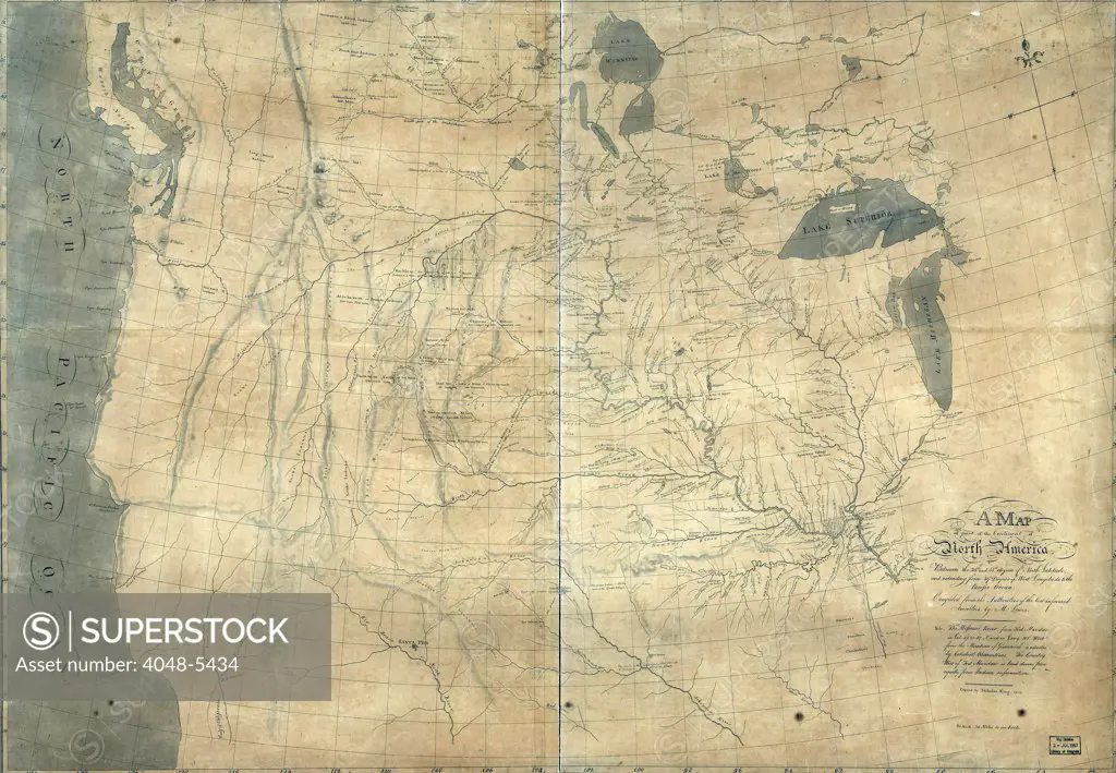
SuperStock offers millions of photos, videos, and stock assets to creatives around the world. This image of 1805 Lewis and Clark map of part of the continent of North America compiled from informed travelers. Map covers western North America, from Great Lakes to the Pacific Ocean, including southern Canada and northern Mexico. Copied by Nicholas King from a sketch by William Clark, 1805 by Everett Collection is available for licensing today.
DETAILS
Image Number: 4048-5434Rights ManagedCredit Line:SuperStock / Everett CollectionCollection: Everett Collection Model Release:NoProperty Release:NoResolution:2550×1768
Free Research
Can't find the usage you need?
We're here to help!
Phone: +1 866 236 0087
Email: help@superstock.com
Research / License Request Form
Can't find the usage you need?
We're here to help!
Phone: +1 866 236 0087
Email: help@superstock.com
Research / License Request Form
Retouching Services
Our MediaMagnet division offers comprehensive retouching services at great rates. For a free quote, please send us an e-mail and we'll get back to you promptly.
Email: Retouching Service
Our MediaMagnet division offers comprehensive retouching services at great rates. For a free quote, please send us an e-mail and we'll get back to you promptly.
Email: Retouching Service