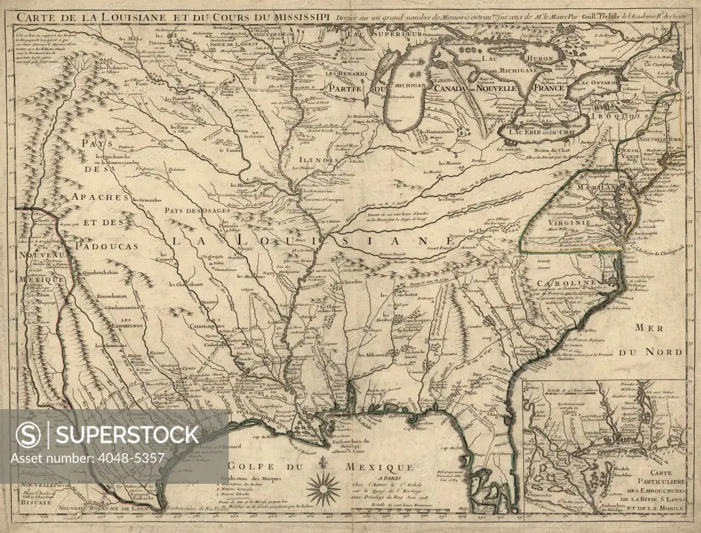
1718 French map of North America showing the Mississippi River region, locations of Native American settlements, and the colonies of France, Spain, and Britain.
SuperStock offers millions of photos, videos, and stock assets to creatives around the world. This image of 1718 French map of North America showing the Mississippi River region, locations of Native American settlements, and the colonies of France, Spain, and Britain. by Everett Collection is available for licensing today.
DETAILS
Image Number: 4048-5357Rights ManagedCredit Line:SuperStock / Everett CollectionCollection: Everett Collection Model Release:NoProperty Release:NoResolution:2550×1941
Free Research
Can't find the usage you need?
We're here to help!
Phone: +1 866 236 0087
Email: help@superstock.com
Research / License Request Form
Can't find the usage you need?
We're here to help!
Phone: +1 866 236 0087
Email: help@superstock.com
Research / License Request Form
Retouching Services
Our MediaMagnet division offers comprehensive retouching services at great rates. For a free quote, please send us an e-mail and we'll get back to you promptly.
Email: Retouching Service
Our MediaMagnet division offers comprehensive retouching services at great rates. For a free quote, please send us an e-mail and we'll get back to you promptly.
Email: Retouching Service