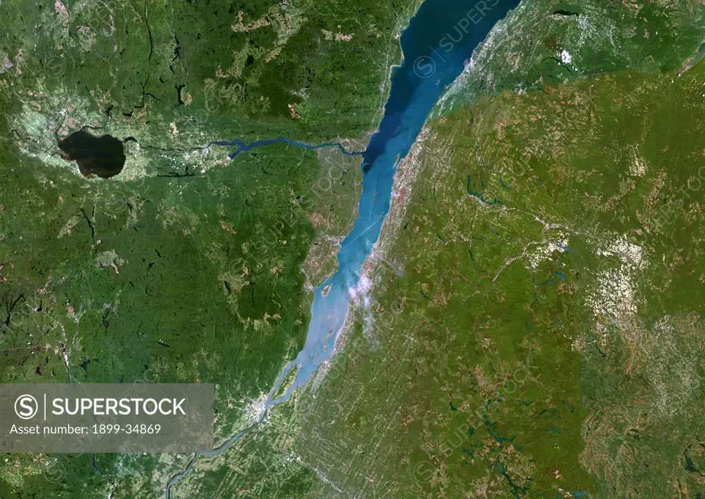
Saint-Lawrence River, Quebec, Canada, True Colour Satellite Image. Satellite image of Quebec city and the Saint-Lawrence river mouth, connection between the Atlantic ocean and the Great Lakes. Image taken on 23 August 2002 using LANDSAT data.
SuperStock offers millions of photos, videos, and stock assets to creatives around the world. This image of Saint-Lawrence River, Quebec, Canada, True Colour Satellite Image. Satellite image of Quebec city and the Saint-Lawrence river mouth, connection between the Atlantic ocean and the Great Lakes. Image taken on 23 August 2002 using LANDSAT data. by Universal Images is available for licensing today.
DETAILS
Image Number: 1899-34869Rights ManagedCredit Line:SuperStock / Universal ImagesCollection: Universal Images Model Release:NoProperty Release:NoResolution:4961×3508
Free Research
Can't find the usage you need?
We're here to help!
Phone: +1 866 236 0087
Email: help@superstock.com
Research / License Request Form
Can't find the usage you need?
We're here to help!
Phone: +1 866 236 0087
Email: help@superstock.com
Research / License Request Form
Retouching Services
Our MediaMagnet division offers comprehensive retouching services at great rates. For a free quote, please send us an e-mail and we'll get back to you promptly.
Email: Retouching Service
Our MediaMagnet division offers comprehensive retouching services at great rates. For a free quote, please send us an e-mail and we'll get back to you promptly.
Email: Retouching Service