Historical illustration from the 19th Century, map of Canterbury in the 15th Century, Kent, England
This image has restrictions and cannot be purchased online. Get in touch for more details.
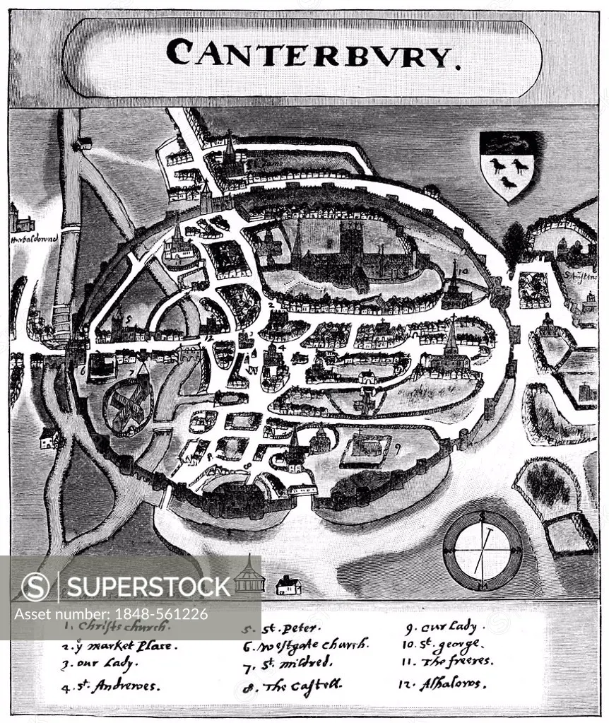
SuperStock offers millions of photos, videos, and stock assets to creatives around the world. This image of Historical illustration from the 19th Century, map of Canterbury in the 15th Century, Kent, England by H.-D. Falkenstein/imageBROKER/imageBROKER is available for licensing today.
DETAILS
Image Number: 1848-561226Rights ManagedCredit Line:SuperStock / H.-D. Falkenstein/imageBROKER/imageBROKERCollection: imageBROKER Contributor: H.-D. Falkenstein/imageBROKER Model Release:NoProperty Release:NoResolution:4961×5897
Free Research
Can't find the usage you need?
We're here to help!
Phone: +1 866 236 0087
Email: help@superstock.com
Research / License Request Form
Can't find the usage you need?
We're here to help!
Phone: +1 866 236 0087
Email: help@superstock.com
Research / License Request Form
Retouching Services
Our MediaMagnet division offers comprehensive retouching services at great rates. For a free quote, please send us an e-mail and we'll get back to you promptly.
Email: Retouching Service
Our MediaMagnet division offers comprehensive retouching services at great rates. For a free quote, please send us an e-mail and we'll get back to you promptly.
Email: Retouching Service