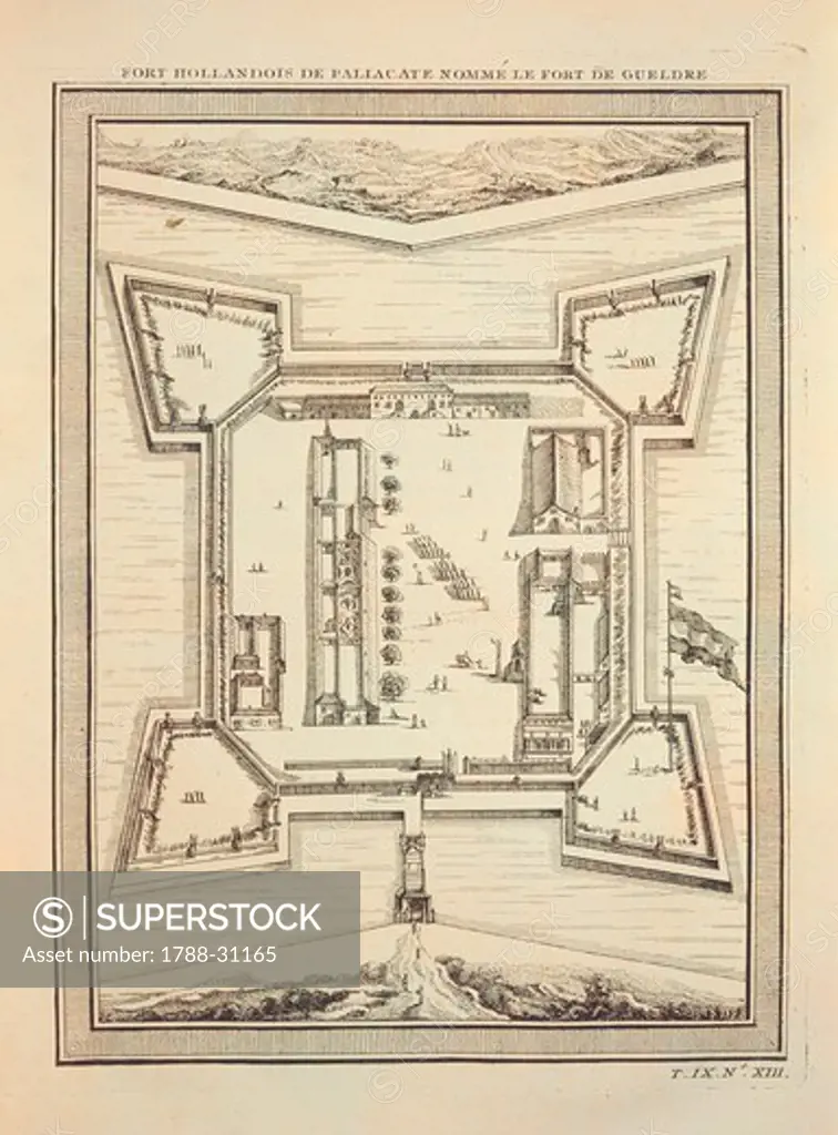
Cartography, India, 18th century. Plan of the Dutch fortress at Paliacate (Pulicat), known as the Gueldre Fort, circa 1755.
SuperStock offers millions of photos, videos, and stock assets to creatives around the world. This image of Cartography, India, 18th century. Plan of the Dutch fortress at Paliacate (Pulicat), known as the Gueldre Fort, circa 1755. by DeAgostini is available for licensing today.
DETAILS
Image Number: 1788-31165Rights ManagedCredit Line:SuperStock / DeAgostiniCollection: DeAgostini Model Release:NoProperty Release:NoResolution:4189×5672
Free Research
Can't find the usage you need?
We're here to help!
Phone: +1 866 236 0087
Email: help@superstock.com
Research / License Request Form
Can't find the usage you need?
We're here to help!
Phone: +1 866 236 0087
Email: help@superstock.com
Research / License Request Form
Retouching Services
Our MediaMagnet division offers comprehensive retouching services at great rates. For a free quote, please send us an e-mail and we'll get back to you promptly.
Email: Retouching Service
Our MediaMagnet division offers comprehensive retouching services at great rates. For a free quote, please send us an e-mail and we'll get back to you promptly.
Email: Retouching Service