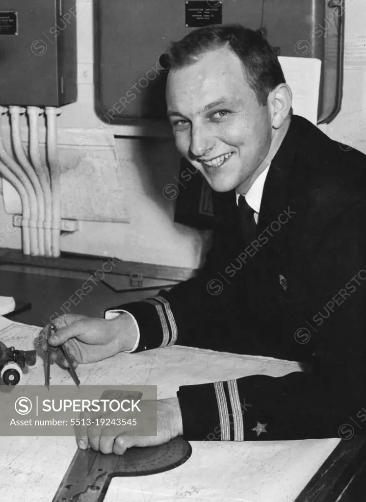
Young American Navigator, second officer D. J. O'Leary, who has correctly plotted the islands Manuae and Auotu in the Lower Cook group, in his cabin in the Pioneer Star today. *****. September 01, 1954.
SuperStock offers millions of photos, videos, and stock assets to creatives around the world. This image of Historic Navy Officer Mapping Maritime Routes: A Glimpse into Naval Navigation by Sydney Morning Herald is available for licensing today.
Looking for a license?
Click here, and we'll help you find it! Questions? Just ask!
Click here, and we'll help you find it! Questions? Just ask!
DETAILS
Image Number: 5513-19243545Rights ManagedCredit Line:Sydney Morning Herald/SuperStockCollection: