1838 Wyld Wall Map of India (Hindostan or British India)
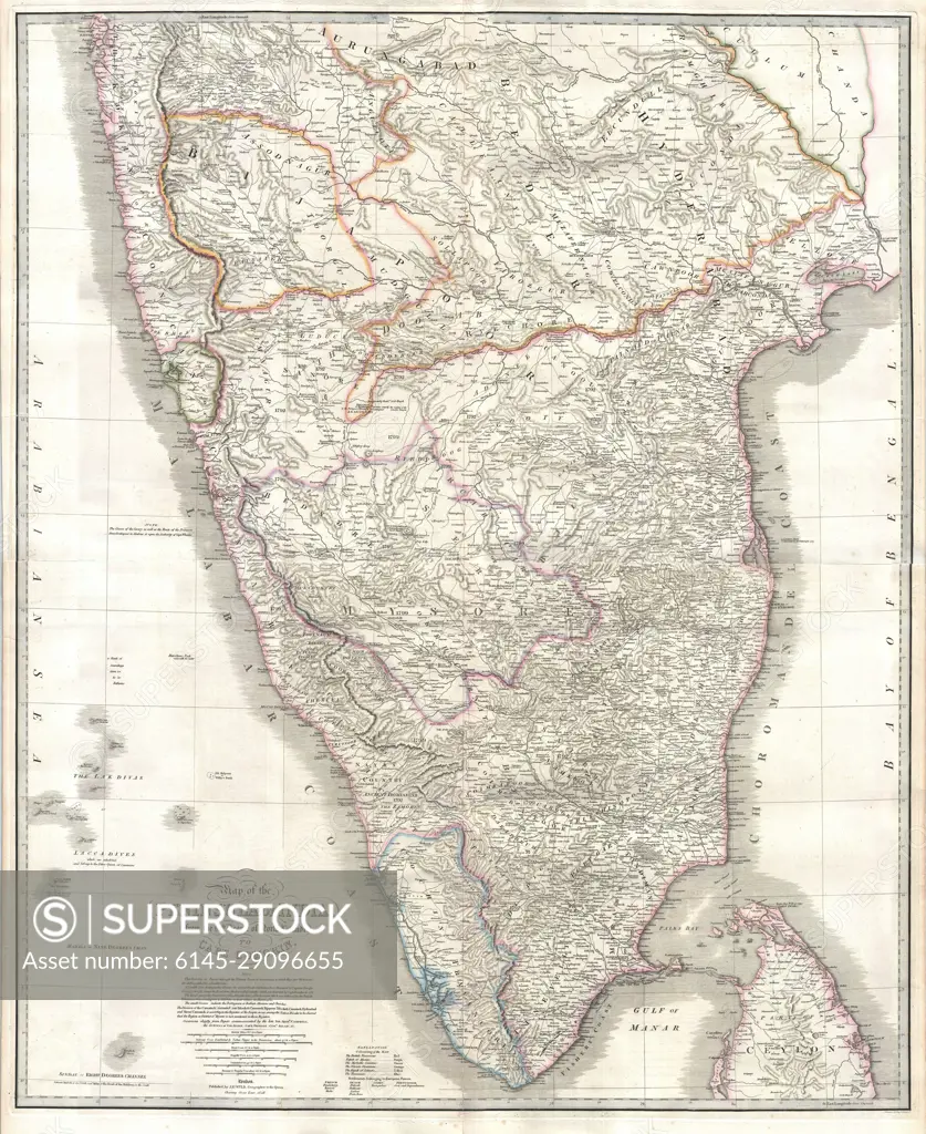
SuperStock offers millions of photos, videos, and stock assets to creatives around the world. This image of Explore the Historical Maps of Peninsular India – Detailed Cartography of India's Geographical Heritage by Piemags/PL Photography Limited is available for licensing today.
Looking for a license?
Click here, and we'll help you find it! Questions? Just ask!
Click here, and we'll help you find it! Questions? Just ask!
DETAILS
Image Number: 6145-29096655Royalty FreeCredit Line:Piemags/PL Photography Limited/SuperStockCollection: