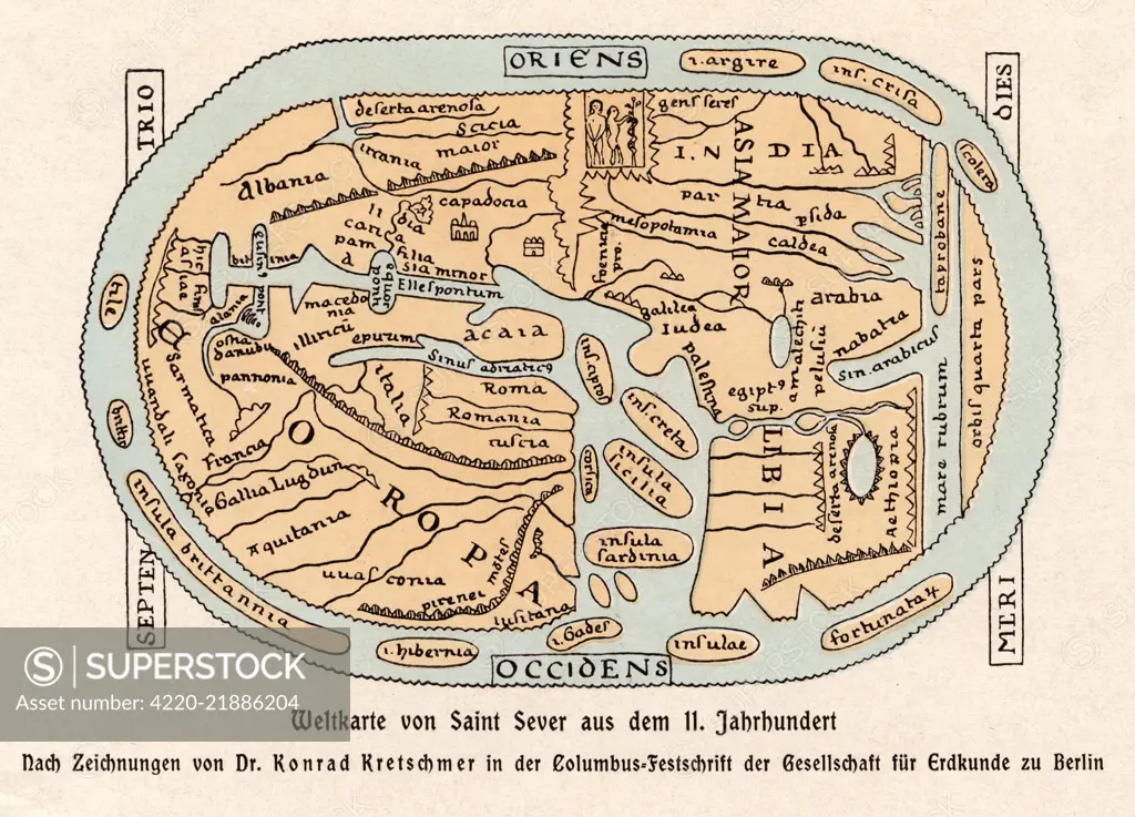
A world map according to Saint Sever, showing various countries, seas and rivers Date: 11th century
SuperStock offers millions of photos, videos, and stock assets to creatives around the world. This image of Explore Medieval Cartography with this 11th-Century World Map by Saint Sever. Discover How Ancient Maps Illustrated the World! by Mary Evans Picture Library/Pantheon is available for licensing today.
Looking for a license?
Click here, and we'll help you find it! Questions? Just ask!
Click here, and we'll help you find it! Questions? Just ask!
DETAILS
Image Number: 4220-21886204Rights ManagedCredit Line:Mary Evans Picture Library/Pantheon/SuperStockCollection:Mary Evans Picture Library Model Release:NoProperty Release:YesResolution:4929×3549