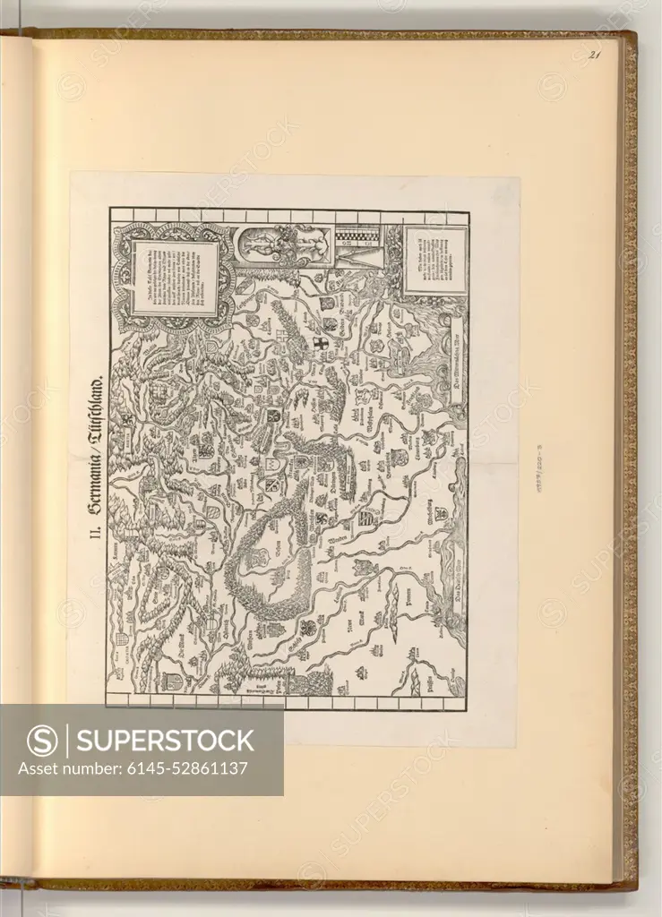
A 1556 woodcut map by Heinrich Vogtherr the Elder depicting Germania, showing borders, cities, rivers, and topography.
SuperStock offers millions of photos, videos, and stock assets to creatives around the world. This image of A 1556 woodcut map by Heinrich Vogtherr the Elder depicting Germania, showing borders, cities, rivers, and topography. by piemags/PL Photography Limited is available for licensing today.
DETAILS
Image Number: 6145-52861137Royalty FreeCredit Line:piemags/PL Photography Limited/SuperStockCollection: