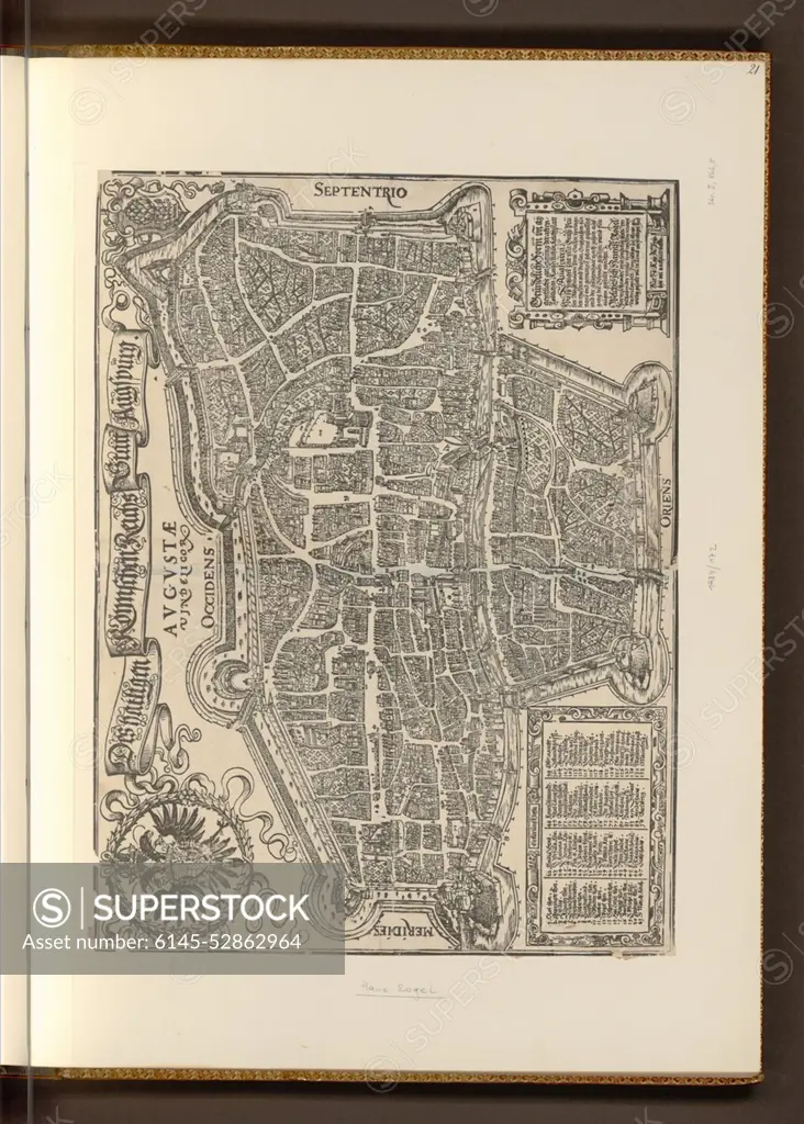
Woodcut by Hans Rogel from the 16th century depicting a city map of Augsburg, showing streets, buildings, urban layout, and surrounding topography in early modern European cartography.
SuperStock offers millions of photos, videos, and stock assets to creatives around the world. This image of Woodcut by Hans Rogel from the 16th century depicting a city map of Augsburg, showing streets, buildings, urban layout, and surrounding topography in early modern European cartography. by piemags/PL Photography Limited is available for licensing today.
Looking for a license?
Click here, and we'll help you find it! Questions? Just ask!
Click here, and we'll help you find it! Questions? Just ask!
DETAILS
Image Number: 6145-52862964Royalty FreeCredit Line:piemags/PL Photography Limited/SuperStockCollection:PL Photography Limited Contributor:piemags Model Release:NoProperty Release:NoResolution:1891×2642