1852 Vuillemin Map of the British Isles (England, Ireland, Scotland)
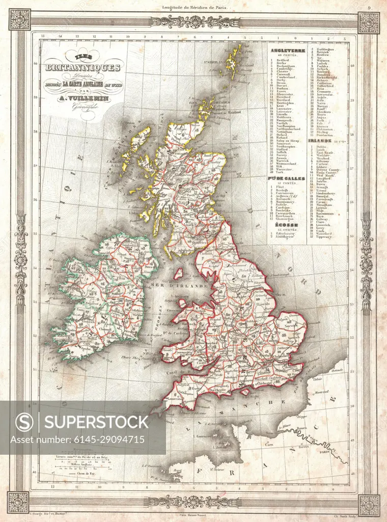
SuperStock offers millions of photos, videos, and stock assets to creatives around the world. This image of Explore 19th-century cartography with this detailed vintage map of the United Kingdom and Ireland, showcasing historical regions and boundaries. Perfect for history enthusiasts and collectors of antique maps. by Piemags/PL Photography Limited is available for licensing today.
DETAILS
Image Number: 6145-29094715Royalty FreeCredit Line:Piemags/PL Photography Limited/SuperStockCollection: