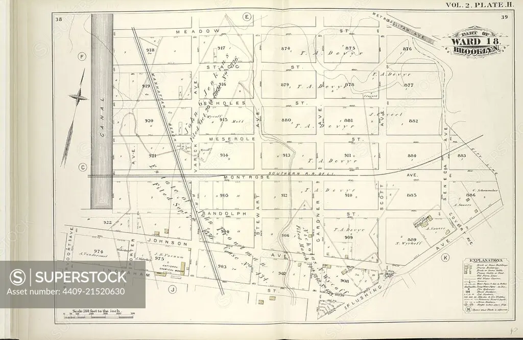
Vol. 2. Plate, H. Map bound by Meadow St., Metropolitan Ave., City Line, Flushing Ave., Ingraham St., Vandervoort Ave., Canal; Including Stagg St., Scholes St., Meserole St., Montrose Ave., Randolph St., Johnson Ave., Porter Ave., Varick Ave., Stewart A.
SuperStock offers millions of photos, videos, and stock assets to creatives around the world. This image of Explore Historical Cartography: Vintage Map of Ward 18, Brooklyn - A Glimpse into the Past Layout and Streetscape. by quintlox/Album Archivo/Album is available for licensing today.
Looking for a license?
Click here, and we'll help you find it! Questions? Just ask!
Click here, and we'll help you find it! Questions? Just ask!
DETAILS
Image Number: 4409-21520630Rights ManagedCredit Line:quintlox/Album Archivo/Album/SuperStockCollection:Album Archivo Contributor:quintlox Model Release:NoProperty Release:NoResolution:6520×4233