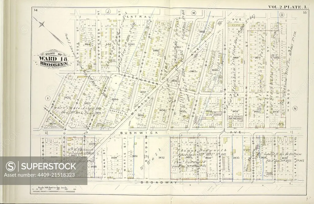
Vol. 2. Plate, L. Map bound by Central Ave., Himrod St., La Fayette Ave., Broadway, Adams St., Melrose St.; Including Evergreen Ave., Central Pl., Bushwick Ave., Bremen St., Myrtle Ave., Jefferson St., Troutman St., Ditman St., Myrtle St., Suydam St., E.
SuperStock offers millions of photos, videos, and stock assets to creatives around the world. This image of Explore Historical Urban Planning: Vintage Map of Brooklyn Ward 18 – Discover 19th Century New York City Layouts and Architectural Landmarks. by quintlox/Album Archivo/Album is available for licensing today.
Looking for a license?
Click here, and we'll help you find it! Questions? Just ask!
Click here, and we'll help you find it! Questions? Just ask!
DETAILS
Image Number: 4409-21518323Rights ManagedCredit Line:quintlox/Album Archivo/Album/SuperStockCollection:Album Archivo Contributor:quintlox Model Release:NoProperty Release:NoResolution:6520×4233