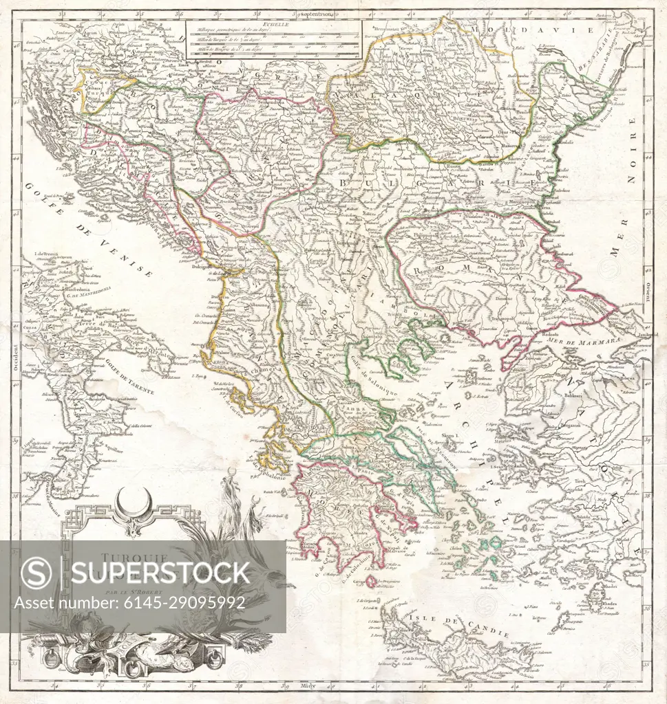
1752 Vaugondy Map of Greece, Macedonia Albania
SuperStock offers millions of photos, videos, and stock assets to creatives around the world. This image of Explore Historic Europe with the Carte de la Turquie Européenne: An Intricate 18th Century Map Detailing the Balkan Regions and Surrounding Areas. by Piemags/PL Photography Limited is available for licensing today.
DETAILS
Image Number: 6145-29095992Royalty FreeCredit Line:Piemags/PL Photography Limited/SuperStockCollection: